Abemama Atoll, Kiribati tide times
Abemama Atoll, Kiribati tide forecast — heights relative to MSL.
Tide chart for Abemama Atoll, Kiribati
24-hour cosine-interpolated curve around the present moment. Heights relative to MSL. Predictions: Predictions: Open-Meteo Marine (MeteoFrance SMOC, 0.08° grid).
Sun, moon and conditions on Mon 06 Jul
Snapshot at build time — refreshes daily. Sea state from Open-Meteo Marine.
Highs and lows next 7 days
Every predicted high and low for the next week, with the daily tidal coefficient (0–120; higher = bigger swing, > 95 means stronger currents).
Other spots nearby
The three closest curated TideTurtle locations to Abemama Atoll, Kiribati, measured by great-circle distance.
Today's solunar windows
Solunar tradition: major periods are the ≈3h windows around moon transit and opposition; minor are ≈2h around moonrise and moonset. Pair with the local tide stage and wind for the best read.
Cycle dates near Abemama Atoll, Kiribati
Next spring tide on Sun 05 Jul (range 1.3m). Next neap on Wed 08 Jul.
Spring tides cluster around new and full moons (biggest swings). Neap tides land on quarter moons (smallest swings). See the spring tide and neap tide glossary entries for the why.
About tides at Abemama Atoll, Kiribati
A short guide to the coastline at Abemama Atoll, Kiribati — geography, sea state, and what the tide is actually doing under your feet.
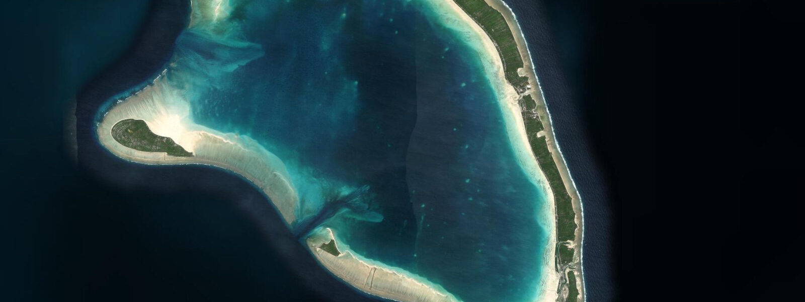
Abemama is an outer Gilbert Island atoll roughly 90 kilometres south of Tarawa — a ring of 22 islets enclosing a lagoon 25 kilometres long, reachable only by inter-island ship from Betio or by occasional charter flights. The atoll has a population of around 3,000, most concentrated on the main islet of Abemama and the adjacent Kariatebike. Copra — dried coconut meat — remains the primary economic product, harvested by island families and loaded onto the inter-island vessel when it calls, on a schedule measured in weeks between visits rather than days.
Abemama is best known to international readers through Robert Louis Stevenson, who anchored off the atoll in September 1889 aboard the schooner Equator and spent three months as a guest — and initially something approaching a captive — of the atoll king Tem Binoka. Stevenson's account in In the South Seas (1896) describes Tem Binoka as a feudal autocrat of unusual authority who controlled the atoll's trade and access with iron consistency. Stevenson wrote and recovered his health on Abemama; the site of his house near Abemama village is marked by a stone monument.
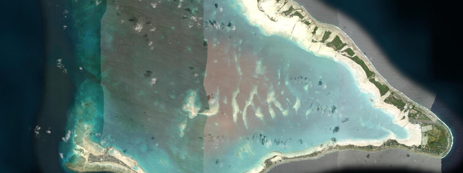
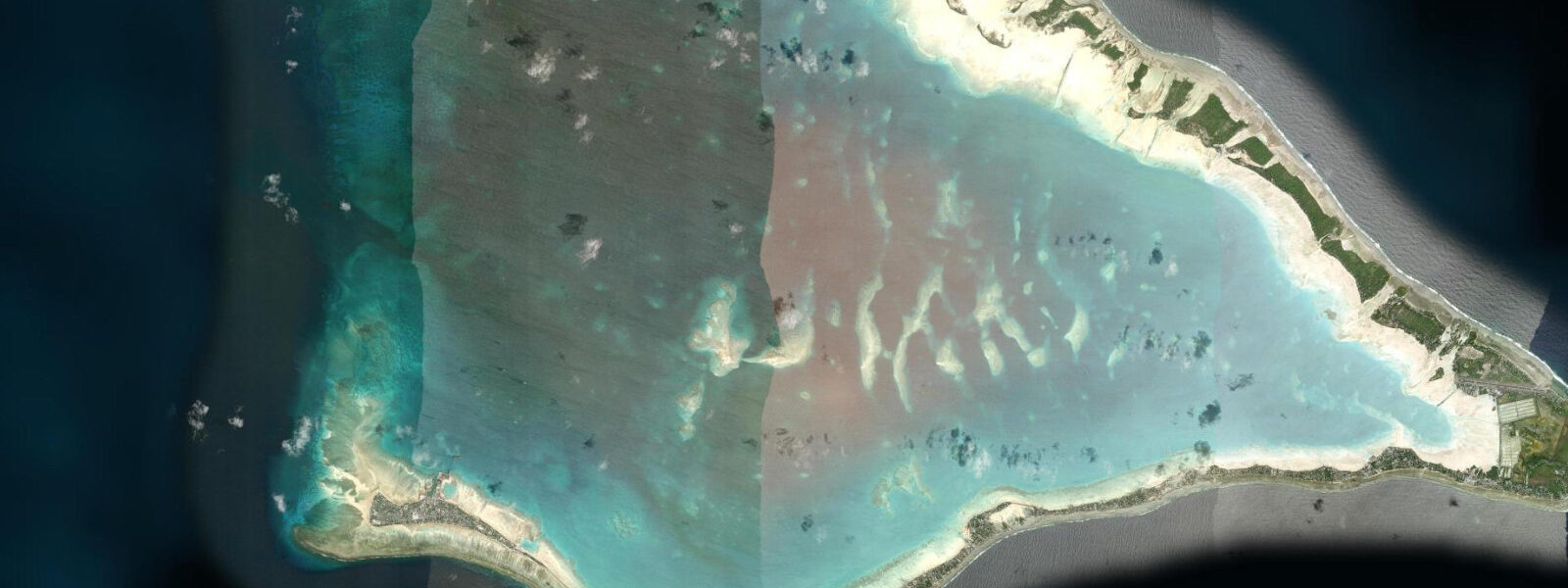
The tidal regime at Abemama matches the Gilbert Islands pattern: mixed semidiurnal, spring range 0.8 to 1.5 metres. The atoll is at essentially zero elevation above mean sea level across most of its islets. The same king-tide flooding that affects South Tarawa applies here with fewer engineering defences and less government capacity to respond. The outer islets of the ring are below 1.5 metres elevation across much of their area; king-tide events cover road surfaces and penetrate freshwater lens wells with salt water — temporarily reducing the drinkable water supply.
Tide data for Abemama comes from Open-Meteo Marine, a global gridded ocean model. Accuracy is typically ±45 minutes on timing and ±0.2 to 0.3 metres on height. There is no Kiribati Meteorological Service tide gauge on Abemama; the Open-Meteo gridded prediction is the best available remote reference. Visitors should note that the model accuracy of ±0.2 to 0.3 metres against an atoll elevation of 1.0 to 1.5 metres carries meaningful margin relative to the land surface.
Fishing at Abemama operates on the same tidal logic as all atoll fishing: the lagoon tidal flat on the flood — beginning two hours after the predicted low — is the primary bonefish and milkfish feeding zone. The passages in the reef ring exchange tidal water with the outer ocean on each cycle; the current through the passages at spring peak runs 1.0 to 1.5 knots. Casting into the current edge at the passage mouth on a flood tide intercepts the predatory jacks and trevally that stack there to catch prey carried through. The lagoon interior is calm flat water at any tidal state above 0.5 metres, used by outrigger canoes for fishing and inter-islet travel.
For the rare independent visitor reaching Abemama by inter-island ship, the experience is defined by the ship's schedule and the atoll's own rhythm — not by tourism infrastructure. The inter-island vessel MV Nei Mataroa calls at Abemama on its southern circuit from Betio, typically every three to four weeks. Timing depends on cargo loading at each island; passengers board and disembark at the discretion of the manifest. Deck passage is the norm for locals; some vessels have limited cabin berths. The ship anchors off the main passage and cargo is lightered ashore by motorised dinghy — a process affected by sea state at the passage entry, which runs rougher on a spring ebb when wind and current oppose each other.
The landscape of Abemama — flat, densely planted with coconut palms, bounded by reef on all sides — is the classic low-atoll environment that Stevenson described in 1889 and that has not fundamentally changed since, except in the matter of sea level. Photographs taken from the lagoon at high water, with the palm line sitting at 1 to 1.5 metres above the water surface, give a visceral sense of the elevation margin. The Stevenson monument near Abemama village is accessible on foot from the main jetty; a local guide is useful for navigating the islet paths between coconut groves.
The copra industry's seasonal rhythm affects what the outer islets look like at any given time. After a harvest the coconut husks are piled on the foreshore drying — visible from the lagoon as yellow-white mounds on the beach. The husks are removed and the meat bagged for the inter-island ship. Between harvests the islets are quiet. Visiting during a harvest cycle gives access to the working practice and to the foreshore activity that the rest of the time is absent. Harvest timing is not tied to the tide; it follows the coconut ripening cycle and the ship's schedule.
Tide questions about Abemama Atoll, Kiribati
Quick answers to the most common questions about tide times, range, and water access at Abemama Atoll, Kiribati.
What is the tidal range at Abemama and how does it affect life on the atoll?
Abemama's spring tidal range is 0.8 to 1.5 metres — the same Gilbert Islands pattern as Tarawa. The atoll sits at essentially zero elevation above mean sea level across most of its islets. King-tide events (perigean springs) flood road surfaces and push salt water into the freshwater lens wells, temporarily reducing the drinkable water supply. Open-Meteo Marine data is the reference here — accuracy ±45 minutes, ±0.2 to 0.3 metres — and there is no Kiribati Meteorological Service gauge on Abemama to cross-check. The ±0.2 to 0.3-metre model uncertainty against an atoll land surface of 1.0 to 1.5 metres elevation is a real planning margin.
What is the connection between Robert Louis Stevenson and Abemama?
Stevenson anchored off Abemama in September 1889 aboard the schooner Equator and spent three months as a guest-and-captive of King Tem Binoka, who controlled the atoll's trade and access with unusual authority. Stevenson wrote about the experience in In the South Seas (1896) — one of the more detailed outsider accounts of a Pacific Island political system in the late 19th century. He recovered his health on the atoll and wrote portions of later works here. The site of his temporary house near Abemama village is marked by a stone monument, accessible on foot from the main jetty with a local guide. The atoll's appearance has changed little physically since Stevenson's account.
How do I get to Abemama and how does the tidal state affect ship cargo operations?
Abemama is accessible by inter-island vessel from Betio (typically the MV Nei Mataroa) on a circuit running every three to four weeks — schedule subject to cargo at each island. There are no regular direct flights; occasional charter or government flights use the grass airstrip. The ship anchors in the lagoon and cargo is lightered ashore by motorised dinghy through the main passage. Rough conditions at the passage entry — most common on a spring ebb when wind and current oppose — can delay lighter operations for several hours. Passengers and cargo wait on deck or the jetty until sea state permits. Deck passage is standard; cabin berths are limited and should be requested in advance.
Is fishing viable for visitors to Abemama?
The lagoon tidal flats at Abemama hold bonefish and milkfish populations that are essentially unfished by international visitors. Bonefish move onto the flat two hours after the predicted low tide, feeding across the shallow sand until the ebb recedes. Jacks and trevally stack at the tidal passage mouths on the flood, intercepting prey carried through the reef ring. Fishing equipment is not available to rent on the atoll; visitors need to bring their own light spinning or fly gear. A local guide or contact in the village is necessary to identify which flats are fishable and which are reserved for subsistence use by the local community. Take-and-release is not traditional here; communicate intentions clearly.
What does sea-level rise mean for Abemama's future?
IPCC AR6 moderate emissions projections indicate 0.3 to 0.5 metres of mean sea level rise by 2100. Against Abemama's 1.0 to 1.5 metre average elevation and current 0.8 to 1.5-metre spring tidal range, that additional rise moves king-tide flooding from a seasonal event to a near-regular one and eventually brings mean high water above some sections of the inhabited foreshore. The freshwater lens — the thin layer of rain-derived fresh water above the denser saltwater in the coral limestone — is particularly vulnerable to increased marine intrusion. Abemama has no significant coastal protection infrastructure. The long-term habitability question applies here as directly as it does to South Tarawa, with a smaller population and less political visibility.
7-day tide table — Abemama Atoll, Kiribati
Heights relative to MSL. Predictions: Open-Meteo Marine (MeteoFrance SMOC, 0.08° grid) — heights relative to MSL (not chart datum / LAT). Model-derived.
| Day | Type | Time | Height |
|---|---|---|---|
| Mon 06 Jul | High | 06:53 | 1.5m |
| Low | 13:14 | 0.1m | |
| High | 19:21 | 1.2m | |
| Tue 07 Jul | Low | 01:16 | 0.2m |
| High | 07:34 | 1.4m | |
| Low | 13:53 | 0.2m | |
| High | 20:08 | 1.2m | |
| Wed 08 Jul | Low | 02:08 | 0.3m |
| High | 08:20 | 1.3m | |
| Low | 14:45 | 0.2m | |
| High | 21:06 | 1.2m | |
| Thu 09 Jul | Low | 15:48 | 0.3m |
| High | 22:18 | 1.2m | |
| Fri 10 Jul | Low | 04:36 | 0.4m |
| High | 10:43 | 1.1m | |
| Low | 17:00 | 0.3m | |
| High | 23:36 | 1.2m | |
| Sat 11 Jul | Low | 06:12 | 0.3m |
| High | 12:12 | 1.1m | |
| Low | 18:19 | 0.2m | |
| Sun 12 Jul | High | 00:53 | 1.3m |
| Low | 07:25 | 0.1m | |
| High | 11:00 | 0.8m |