Diani Beach tide times
Diani Beach tide forecast — heights relative to MSL.
Today's tide times for Diani Beach
Tide times at Diani Beach on Sunday, 21 June 2026: first low tide at 03:00am, first high tide at 08:20am. Sunrise 06:26am, sunset 06:19pm.
Tide chart for Diani Beach
24-hour cosine-interpolated curve around the present moment. Heights relative to MSL. Predictions: Predictions: Open-Meteo Marine (MeteoFrance SMOC, 0.08° grid).
Sun, moon and conditions on Sun 21 Jun
Snapshot at build time — refreshes daily. Sea state from Open-Meteo Marine.
Highs and lows next 7 days
Every predicted high and low for the next week, with the daily tidal coefficient (0–120; higher = bigger swing, > 95 means stronger currents).
Other spots nearby
The three closest curated TideTurtle locations to Diani Beach, measured by great-circle distance.
Today's solunar windows
Solunar tradition: major periods are the ≈3h windows around moon transit and opposition; minor are ≈2h around moonrise and moonset. Pair with the local tide stage and wind for the best read.
Cycle dates near Diani Beach
Last spring tide on Sun 21 Jun (range 2.0m). Next spring tide on Sat 27 Jun (range 2.2m). Next neap on Wed 24 Jun.
Spring tides cluster around new and full moons (biggest swings). Neap tides land on quarter moons (smallest swings). See the spring tide and neap tide glossary entries for the why.
About tides at Diani Beach
A short guide to the coastline at Diani Beach — geography, sea state, and what the tide is actually doing under your feet.
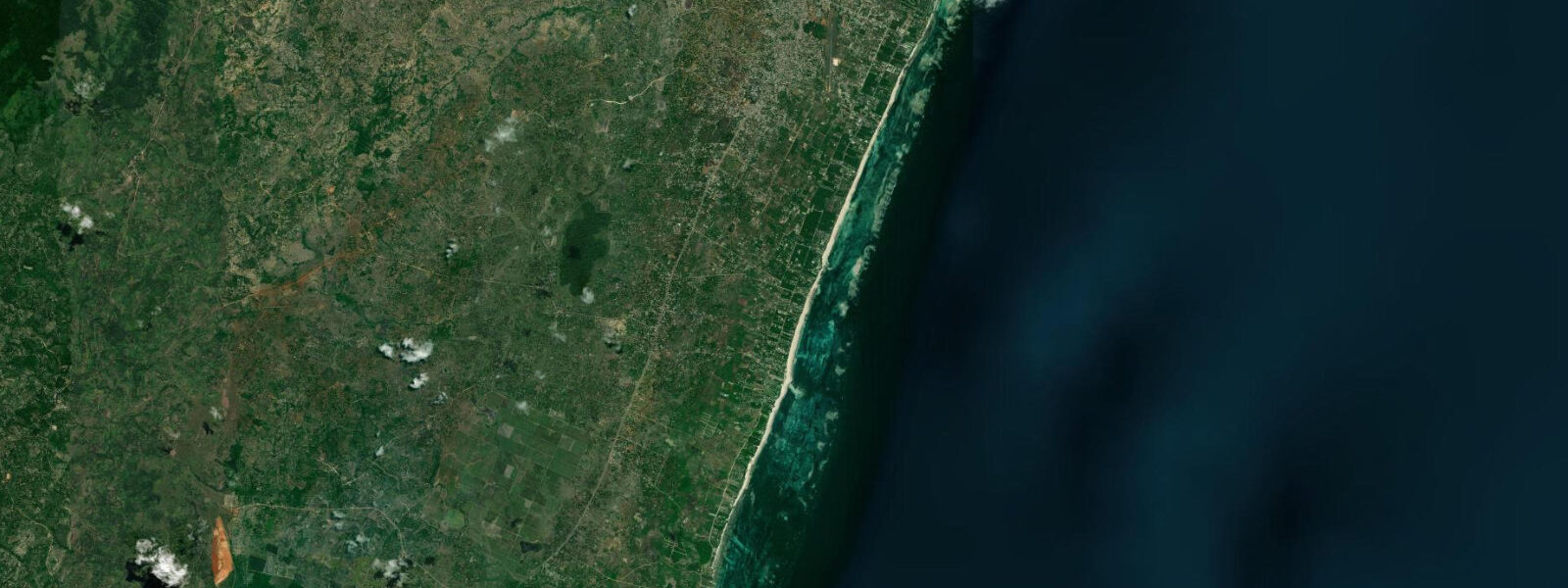
Diani Beach runs for 17 kilometres along the Kenya south coast, separated from Mombasa Island by the Likoni Channel ferry crossing. The beach is white coral sand, the water inside the fringing reef is calm and turquoise, and the continuous reef protects the lagoon from the full force of the Indian Ocean swell — the outer reef absorbs the kusi-season (May to October) SE trade swell and presents a manageable 0.3 to 0.8 metre inside wave to the beach rather than the full 1.5 to 2.5 metre open-ocean sets. This sheltered inside character is the defining feature of Diani and explains why it has been Kenya's primary resort coast since the 1970s.
The tidal range at Diani follows the Kenya Ports Authority Mombasa gauge: spring range 3.2 to 3.8 metres, neap range around 1.7 metres. These numbers are large enough to transform the lagoon. At low spring water, the reef flat inside the lagoon exposes to knee depth and shallower for 1 to 2 kilometres from the beach waterline — the walk to the outer reef edge is physically possible across the sandy flat but requires care: the coral rubble patches are sharp and uneven, and the outer reef edge has surge even in calm conditions. At high water, the same lagoon is 1.5 to 2.5 metres deep and the beach narrows from a 40 to 60-metre strand at low water to a 15 to 30-metre strip at spring high.
The kite and windsurfer schools at Diani are concentrated in the northern section of the beach, where the lagoon inside the reef is widest and deepest even at low water. Kite lessons use the mid-to-high-water window when the lagoon is deep enough to provide a safety margin below a crashing beginner and the tidal current is not too strong. The SE kusi wind funnels through the gap in the reef at the northern kite beach area and produces consistent 10 to 20-knot conditions from June to September.
Diani is also one of the most accessible dive destinations on the Kenya coast. The outer reef — the seaward face of the fringing reef — is reached by boat in 10 to 20 minutes from the beach hotels. The main dive sites (Chale Island Wall, Diani Reef North, Kinondo Point) are all along the outer reef and are diveable from 2 hours after low water through to 2 hours before the next low, when the tidal current is manageable and visibility is best. At springs, the tidal current over the outer reef can reach 1.5 to 2 knots on the strongest ebb — diveable for experienced divers but not recommended for beginners.
The Angolan black-and-white colobus monkeys (Colobus angolensis palliatus) inhabit the coastal forest behind the beach hotels and road. The Colobus Trust, based at the northern end of Diani, monitors a population of approximately 600 individuals across the remaining coastal forest patches between the beach hotels and the main road. The monkeys use the hotel gardens and beach-road trees as corridors between forest patches; they are most active in the early morning and late afternoon, foraging in the canopy. The Colobus Trust runs morning walks and observation sessions that operate on a fixed morning schedule rather than tidal timing, but combining an early morning forest walk (06:30 to 09:00) with a low-water reef flat walk immediately afterward is a coherent half-day plan.
For shore anglers, the rock outcrops at the southern end of Diani near Galu Beach produce consistent fishing for snapper, emperor, and occasional GT on the incoming tide. The reef edge is accessible from the beach at low water, and casting along the reef face on the rising tide is the local technique for larger pelagic species. The full southern 17 kilometres of beach is accessible at low water by 4WD or on foot; at high water, creek crossings at several points cut the walk and require a vehicle.
Tide predictions for Diani Beach come from Open-Meteo Marine, a gridded global ocean model. Accuracy is typically plus or minus 45 minutes on timing and 0.2 to 0.3 metres on height. The Kenya Ports Authority Mombasa gauge is the authoritative source for Kenya coastal tidal data; KPA publishes annual tide tables. These predictions are not for navigation.
Tide questions about Diani Beach
Quick answers to the most common questions about tide times, range, and water access at Diani Beach.
What is the tidal range at Diani Beach?
Spring tidal range at Diani Beach is 3.2 to 3.8 metres, consistent with the Kenya Ports Authority Mombasa gauge which is the authoritative reference for this coast. Neap range is approximately 1.7 metres. The regime is semidiurnal with strong diurnal inequality — two highs and two lows per day, with one of each pair significantly larger than the other. At spring low water the reef flat inside the fringing reef exposes to knee depth for 1 to 2 kilometres from the beach waterline; at spring high water the beach narrows from a 40 to 60-metre strand to 15 to 30 metres. Tide predictions on this page come from Open-Meteo Marine, a gridded global ocean model, with typical accuracy of plus or minus 45 minutes on timing and 0.2 to 0.3 metres on height.
Can I walk to the outer reef at Diani at low tide?
At spring low water, the reef flat at Diani is shallow enough to walk — knee to thigh depth across the sandy sections, with coral rubble patches in between. The outer reef edge is 1 to 2 kilometres from the beach waterline. The walk is possible but requires preparation: wear water shoes or sturdy sandals (the coral rubble patches are sharp), carry a waterproof bag for valuables, and time the return well before the flood tide reaches waist depth on the flat. The safe walking window is centred on low water with a margin of roughly 90 minutes either side at springs — check the predicted low water time on this page and confirm you can be back to the beach waterline within 3 hours of that time. The outer reef edge has surge even in calm conditions; do not stand on the reef crest.
Are the colobus monkeys at Diani visible year-round?
Yes. The Angolan black-and-white colobus (Colobus angolensis palliatus) population monitored by the Colobus Trust at Diani is resident year-round — approximately 600 individuals in the coastal forest between the beach hotels and the main road. They are most active in the early morning (06:00 to 09:00) and late afternoon (16:00 to 18:30). The Colobus Trust offers guided morning observation walks; these operate on a fixed schedule (check with the Trust directly for current start times) rather than on a tidal schedule. A practical morning itinerary: forest walk 06:30 to 08:30, then reef flat walk from 09:00 onward if low water falls in the late morning — the two activities complement each other without overlap.
Is Diani Beach suitable for kitesurfing, and when?
Diani is one of Kenya's established kite destinations. The main kite area is in the northern section of the beach where the lagoon inside the reef is widest. Kite lessons and intermediate riding use the mid-to-high-water window — when the lagoon depth is 1 to 2 metres and provides a safety margin below a crashed rider. At low water, the lagoon is too shallow for kiting (knee to thigh depth) and the tidal current is stronger across the exposed flat. The best kite season is June to September (kusi/SE trade wind): consistent 10 to 20 knots through the afternoon on most days. October to December is lighter wind and less reliable. Kite schools at Diani provide equipment and instruction; book through the beach hotel directly or via the kite school at the northern beach area.
Where do the tide predictions for Diani Beach come from?
Open-Meteo Marine, a gridded global ocean model. The model estimates tidal height from a geographic grid rather than from harmonic analysis of a local tide gauge. Accuracy is typically plus or minus 45 minutes on timing and 0.2 to 0.3 metres on height. The authoritative tide reference for the Kenya south coast is the Kenya Ports Authority (KPA) Mombasa gauge, 20 kilometres north of Diani. KPA publishes annual tide tables used for all port operations and commercial vessels in Kenya coastal waters. The Diani outer reef dive sites use these KPA tables for dive planning; for any activity that requires precision tide timing at Diani, cross-check with KPA's published tables. These predictions are not for navigation.
8-day tide table — Diani Beach
Heights relative to MSL. Predictions: Open-Meteo Marine (MeteoFrance SMOC, 0.08° grid) — heights relative to MSL (not chart datum / LAT). Model-derived.
| Day | Type | Time | Height |
|---|---|---|---|
| Sun 21 Jun | Low | 03:00 | -0.6m |
| High | 08:20 | 1.4m | |
| Mon 22 Jun | Low | 02:46 | -0.6m |
| High | 09:18 | 1.3m | |
| Tue 23 Jun | Low | 03:43 | -0.4m |
| High | 10:26 | 1.3m | |
| Low | 16:47 | -0.2m | |
| High | 22:46 | 0.9m | |
| Wed 24 Jun | Low | 04:47 | -0.3m |
| High | 11:37 | 1.3m | |
| Low | 18:12 | -0.2m | |
| Thu 25 Jun | High | 00:08 | 0.8m |
| Low | 05:58 | -0.3m | |
| High | 12:45 | 1.3m | |
| Low | 19:19 | -0.4m | |
| Fri 26 Jun | High | 01:19 | 0.8m |
| Low | 07:00 | -0.3m | |
| High | 13:38 | 1.4m | |
| Low | 20:12 | -0.5m | |
| Sat 27 Jun | High | 02:12 | 0.9m |
| Low | 07:52 | -0.4m | |
| High | 14:22 | 1.6m | |
| Low | 20:54 | -0.6m | |
| Sun 28 Jun | High | 02:00 | 0.9m |