Gazi Bay tide times
Gazi Bay tide forecast — heights relative to MSL.
Today's tide times for Gazi Bay
Tide times at Gazi Bay on Saturday, 4 July 2026: first low tide at 03:00am, first high tide at 06:09am, second low tide at 12:03pm, second high tide at 06:15pm. Sunrise 06:30am, sunset 06:22pm.
Tide chart for Gazi Bay
24-hour cosine-interpolated curve around the present moment. Heights relative to MSL. Predictions: Predictions: Open-Meteo Marine (MeteoFrance SMOC, 0.08° grid).
Sun, moon and conditions on Sat 04 Jul
Snapshot at build time — refreshes daily. Sea state from Open-Meteo Marine.
Highs and lows next 7 days
Every predicted high and low for the next week, with the daily tidal coefficient (0–120; higher = bigger swing, > 95 means stronger currents).
Other spots nearby
The three closest curated TideTurtle locations to Gazi Bay, measured by great-circle distance.
Today's solunar windows
Solunar tradition: major periods are the ≈3h windows around moon transit and opposition; minor are ≈2h around moonrise and moonset. Pair with the local tide stage and wind for the best read.
Cycle dates near Gazi Bay
Last spring tide on Sat 04 Jul (range 2.6m). Next neap on Fri 10 Jul.
Spring tides cluster around new and full moons (biggest swings). Neap tides land on quarter moons (smallest swings). See the spring tide and neap tide glossary entries for the why.
About tides at Gazi Bay
A short guide to the coastline at Gazi Bay — geography, sea state, and what the tide is actually doing under your feet.
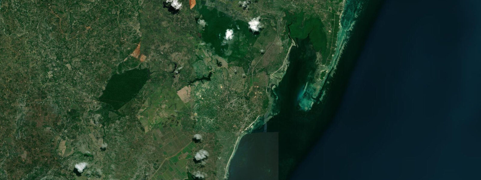
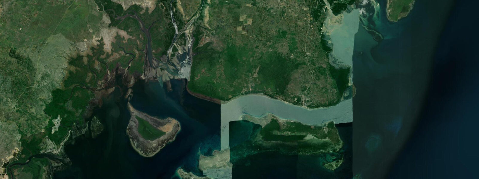
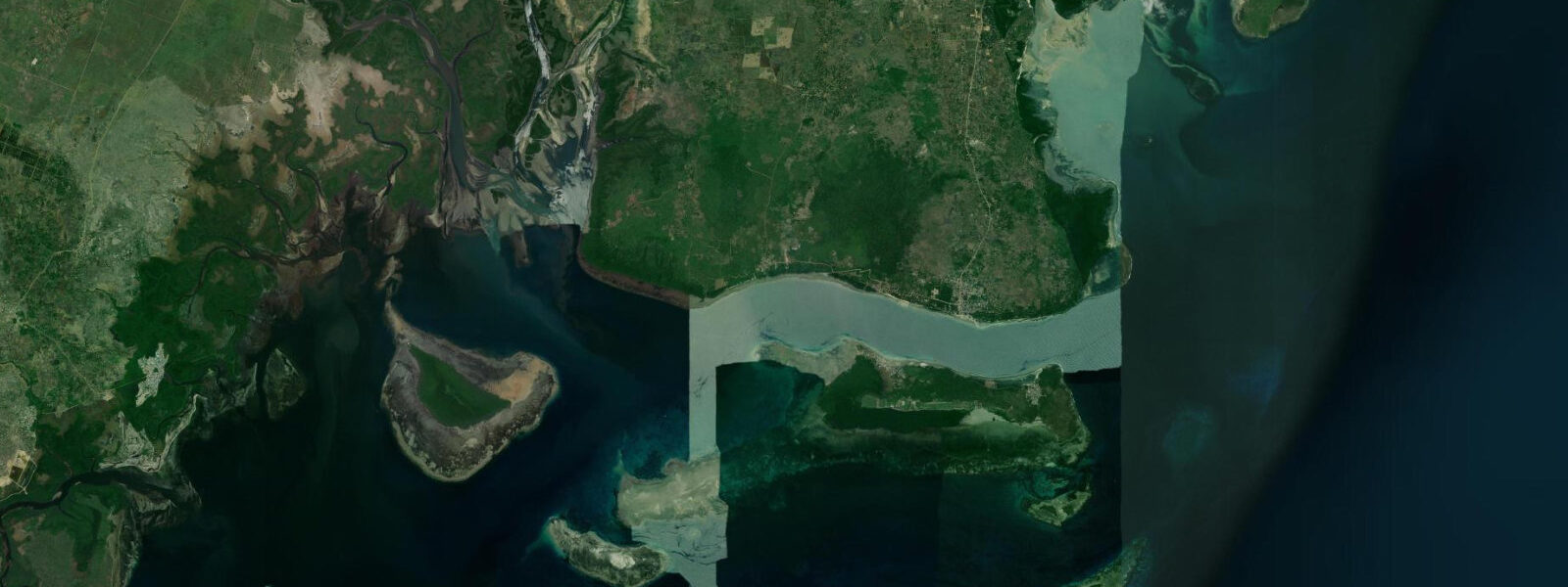
Gazi Bay sits about 12 kilometres south of Diani, separated from the main beach resort strip by a stretch of coastline that has remained largely undeveloped. The bay's defining feature is its mangrove system — one of the most studied and most significant in East Africa, and the site of one of Africa's first community-led mangrove carbon credit projects. 0 metres, which is high enough to flush the mangrove channels thoroughly on each cycle.
At high tide, the canopy appears to grow directly from the water; at low water, the channels drain to narrow ribbons of water between exposed root systems and mudflats. The tidal flush is the ecological engine here — it brings nutrients in, exports organic matter, and maintains the water chemistry that supports a productive seagrass and coral system in the bay outside the mangrove fringe. The Gazi carbon credit project, started in the early 2010s, was among the first in Africa to sell Verified Carbon Standard credits based on mangrove restoration and conservation.
The community group Mikoko Pamoja (Swahili for 'mangroves together') manages the project, using credit revenue for village infrastructure — fresh water, school books, healthcare. It is a genuinely functional model of community conservation linked to real income, and it has been cited extensively in international blue carbon policy discussions. Visiting the mangrove at high tide, by small boat or canoe, gives a sense of the habitat that a low-tide visit does not — the enclosed canopy, the sounds of crabs and birds, the slight salinity gradient as you move inland.
The established wooden boardwalk provides access on foot at low-to-mid tide, threading through the root system. Timing a visit for the flood tide (approaching high water) gives the most dramatic change in water depth to observe; the ebb tide after high water lets you see the root system exposed as the water retreats. Green turtles feed in the seagrass beds in the outer bay.
Sightings are not guaranteed but are frequent enough to be mentioned in most field guides to the area — early morning at high tide is the most productive period for observation. Seagrass depth allows turtles to graze at any state of tide in the outer bay, but higher water provides more cover and slightly more turtle activity. The bay's fish community is tied to the mangrove and seagrass system.
Mangroves are nursery habitat for a wide range of reef fish species; snapper, grouper, and barracuda juveniles develop here before moving to the reef. Line fishing from the bay margin is practised by the Gazi fishing community, primarily targeting mullet, snapper, and rabbitfish in the channels. There is no formal recreational fishing infrastructure here — this is a working fishing community's bay, not a sport fishery.
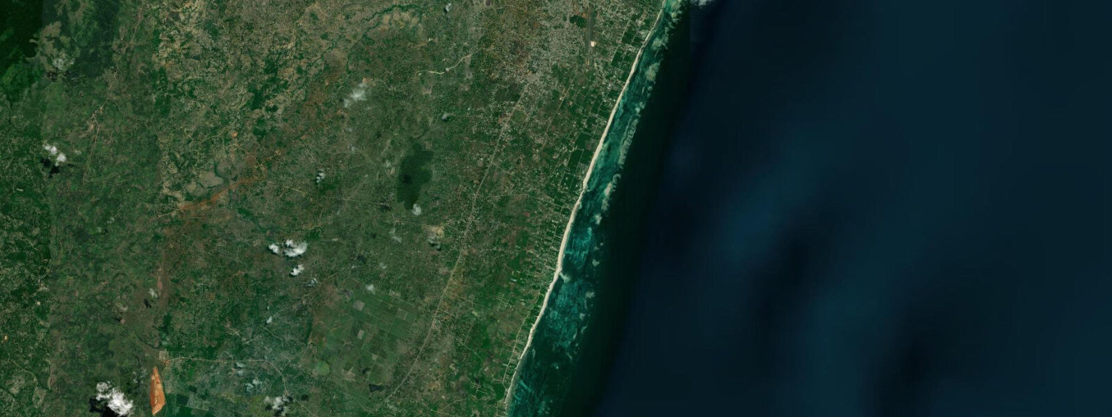
Birdwatching at the mangrove fringe is productive: mangrove kingfisher is reliable, as are green-backed heron, African fish eagle, and a range of migrant waders on the mudflats at low water. Shimba Hills elephants have been documented using the coastal mangroves — sightings are rare and unpredictable, but the habitat connection between the inland reserve and the coast is real and documented. Access to Gazi is by road from Diani (15-20 minutes), turning off the main south coast highway.
The community runs guided mangrove boat tours; booking through Mikoko Pamoja directly supports the carbon project. Predictions on this page come from Open-Meteo Marine, a gridded global ocean model. 3 metres on height — model-derived, not from a local gauge.
The regional tidal reference is the Kenya Meteorological Department gauge at Mombasa, operated in coordination with Kenya Ports Authority.
Tide questions about Gazi Bay
Quick answers to the most common questions about tide times, range, and water access at Gazi Bay.
What is the Mikoko Pamoja mangrove carbon project at Gazi?
Mikoko Pamoja ('mangroves together' in Swahili) is a community-led conservation and carbon credit project based in Gazi village. Launched in 2013, it was one of the first projects in Africa to generate and sell Verified Carbon Standard (blue carbon) credits based on mangrove conservation and replanting. Revenue from credit sales funds community infrastructure: water supply, school materials, and healthcare. The project has become an international reference case for community-based blue carbon finance. Guided mangrove boat tours can be booked directly through the group, with fees supporting the project.
When is the best time to visit the Gazi mangroves by boat?
The flood tide approaching high water is the most atmospheric time — channels are full, the canopy closes overhead, and the transition from open bay to enclosed mangrove is most dramatic. A visit timed to start about 90 minutes before high water and finish at the high water slack gives a good experience with straightforward boat navigation. At low water the channels are narrow and some sections become inaccessible by boat, though the boardwalk on foot remains usable. Avoid scheduling a boat tour at dead low spring tide; check local predictions before arriving.
Are there green turtles at Gazi Bay?
Green turtles (Chelonia mydas) feed in the seagrass beds in the outer bay. Sightings are regular but not guaranteed — early morning at mid-to-high tide is the most productive window. Turtles feed in the seagrass and occasionally rest near the surface; approaching quietly in a canoe or kayak without motor noise gives the best chance of an undisturbed observation. Kenya Wildlife Service regulations prohibit approaching nesting turtles on beaches or harassing any sea turtle; maintain distance and do not attempt to touch or follow.
What birds can be seen at the Gazi mangrove?
The mangrove kingfisher (Halcyon senegaloides) is resident and often reliable near channel edges. Malachite kingfisher is present in the creek margins. African fish eagle hunts over the open bay. Green-backed heron and striated heron work the root systems at any tide. At low water, the exposed mudflats attract migrant waders in the northern winter: common sandpiper, greenshank, and whimbrel are recorded regularly. The forest edge adjacent to the mangrove holds Zanzibar red bishop and various sunbirds. An early morning visit starting an hour before high water covers both kingfisher and wader activity.
How do I get to Gazi Bay from Diani?
Gazi village is approximately 12 kilometres south of Diani Beach along the B8 south coast highway. By car or tuk-tuk from Diani, the journey takes 15 to 25 minutes depending on traffic. The turn-off to Gazi village is signed from the main road. There is no formal public bus route directly to Gazi; matatus running south towards Shimoni pass the junction and a short walk or boda-boda ride covers the last stretch. Most Diani-based tour operators offer half-day trips to the mangroves that include transport.
8-day tide table — Gazi Bay
Heights relative to MSL. Predictions: Open-Meteo Marine (MeteoFrance SMOC, 0.08° grid) — heights relative to MSL (not chart datum / LAT). Model-derived.
| Day | Type | Time | Height |
|---|---|---|---|
| Sat 04 Jul | Low | 03:00 | 0.2m |
| High | 06:09 | 1.4m | |
| Low | 12:03 | -0.8m | |
| High | 18:15 | 1.7m | |
| Sun 05 Jul | Low | 00:36 | -0.9m |
| High | 06:46 | 1.4m | |
| Low | 12:42 | -0.7m | |
| High | 18:52 | 1.6m | |
| Mon 06 Jul | Low | 01:11 | -0.8m |
| High | 07:23 | 1.4m | |
| Low | 13:25 | -0.6m | |
| High | 19:32 | 1.4m | |
| Tue 07 Jul | Low | 01:50 | -0.7m |
| High | 08:09 | 1.4m | |
| Low | 14:19 | -0.5m | |
| High | 20:18 | 1.2m | |
| Wed 08 Jul | Low | 02:35 | -0.6m |
| High | 09:04 | 1.3m | |
| Low | 15:26 | -0.3m | |
| High | 21:19 | 1.0m | |
| Thu 09 Jul | Low | 03:33 | -0.5m |
| High | 10:12 | 1.3m | |
| Low | 16:47 | -0.3m | |
| High | 22:38 | 0.8m | |
| Fri 10 Jul | Low | 18:13 | -0.4m |
| Sat 11 Jul | High | 00:11 | 0.8m |