Kōchi tide times
Kōchi tide forecast — heights relative to MSL.
Today's tide times for Kōchi
Tide times at Kōchi on Saturday, 27 June 2026: first low tide at 09:53, first high tide at 16:48, second low tide at 22:15. Sunrise 04:57, sunset 19:19.
Tide chart for Kōchi
24-hour cosine-interpolated curve around the present moment. Heights relative to MSL. Predictions: Predictions: Open-Meteo Marine (MeteoFrance SMOC, 0.08° grid).
Sun, moon and conditions on Sat 27 Jun
Snapshot at build time — refreshes daily. Sea state from Open-Meteo Marine.
Highs and lows next 7 days
Every predicted high and low for the next week, with the daily tidal coefficient (0–120; higher = bigger swing, > 95 means stronger currents).
Other spots nearby
The three closest curated TideTurtle locations to Kōchi, measured by great-circle distance.
Today's solunar windows
Solunar tradition: major periods are the ≈3h windows around moon transit and opposition; minor are ≈2h around moonrise and moonset. Pair with the local tide stage and wind for the best read.
Cycle dates near Kōchi
Next spring tide on Wed 01 Jul (range 1.6m). Last neap on Sat 27 Jun. Next neap on Fri 03 Jul.
Spring tides cluster around new and full moons (biggest swings). Neap tides land on quarter moons (smallest swings). See the spring tide and neap tide glossary entries for the why.
About tides at Kōchi
A short guide to the coastline at Kōchi — geography, sea state, and what the tide is actually doing under your feet.
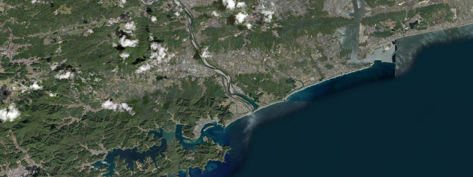
Kōchi is the capital of Kōchi Prefecture on Shikoku's Pacific coast, built on a flat river delta at the head of Tosa Bay — a wide, deep embayment opening south into the Pacific. The city is separated from the Seto Inland Sea side of Shikoku by the Shikoku Mountains. The Pacific orientation defines everything here: direct swell exposure, high typhoon frequency, and an open-ocean tidal regime.
The tidal regime at Kōchi is semidiurnal with a spring range of approximately 2.0 m above Chart Datum. Mean high water springs is around 1.5 m; mean low water springs around 0.5 m. Neap range narrows to 0.8–1.0 m. Tosa Bay swell climate is one of the most exposed in Japan: southerly Pacific swell reaches the bay with minimal attenuation and can run to 4–5 m at the outer headlands in typhoon conditions.
For the offshore fishery, Kōchi is Japan's most important tuna and bonito port. The skip-jack tuna (katsuo) one-pole fishery operated from Kōchi has been the economic base of the coastal culture here for centuries. Katsuo no tataki — flame-grilled bonito with garlic and ginger — is Kōchi's signature dish. The offshore fishing grounds in the Kuroshio Current south of Tosa Bay are among the richest in Japan; tidal state is secondary to the Kuroshio's meanders and the seasonal katsuo migration for offshore boats.
For inshore anglers, Tosa Bay's 2.0 m spring range creates productive tidal flat conditions at river mouths. The Kokubu River mouth at the eastern edge of the city is a traditional mullet and sea bass (suzuki) fishery; bass enter the estuary on the flooding tide and are fished from the river-mouth bank. The flooding window — 1–2 hours before to 1 hour after high water — is the productive period.
Surfers use the outer beaches east and west of the city — Katsurahama (6 km south) and beaches near Aki and Tosa City — for Pacific swell. Swell of 1.0–2.0 m is common October through March; typhoon swells reach 4–6 m at the outer point breaks. Tidal state matters at the rocky reef breaks: on a 2.0 m spring range, the difference between high and low water at a shallow reef break is the difference between rideable wave and closed-out shore pound. Most reef breaks work best on the middle portion of the tide — the upper half of the ebb.
Katsurahama Beach, 6 km south, is the most photographed beach in Kōchi Prefecture: a curved cove below the cliffs with a bronze statue of samurai hero Sakamoto Ryōma at the clifftop. The beach is not safe for swimming due to Pacific shore-break and rip currents, but the 2.0 m tidal range provides photographers with a broad sandy foreground at low water and a wave-at-the-rocks composition at high water.
Typhoon season runs July through October. Direct hits on Kōchi are more frequent than on most of Japan's Pacific coastline. A direct-hit storm surge of 2–4 m arriving at spring high water (1.5 m above Chart Datum) creates total water levels of 3.5–5.5 m above Chart Datum in the low-lying delta areas of the city.
All tide predictions for Kōchi come from the Open-Meteo Marine gridded model. Timing accuracy is ±45 minutes; height accuracy is ±0.3 m above Chart Datum.
Tide questions about Kōchi
Quick answers to the most common questions about tide times, range, and water access at Kōchi.
What is the tidal range at Kōchi and how does it affect the beaches?
Kōchi has a semidiurnal spring tidal range of approximately 2.0 m above Chart Datum. At the outer beaches like Katsurahama, this range shifts the waterline 60–80 m on moderate gradients and significantly changes shore-break character. Rocky reef surf breaks around the bay work best on the middle tidal range — the upper half of the ebb — when water depth over the reef is sufficient to prevent close-out but wave faces have maximum form. At spring low water some reef sections become too shallow for safe surfing. Tide predictions carry ±45 minutes timing uncertainty and ±0.3 m height uncertainty.
Is Katsurahama Beach safe for swimming?
Katsurahama Beach is not safe for swimming and is not a designated swimming beach. The Pacific shore-break produces powerful surge and rip currents even on relatively calm days. The beach faces southeast into the Pacific swell window with no reef or headland protection sufficient to moderate ocean energy. Families seeking safe swimming should use the designated beaches on the inner bay at Kōchi Port or the protected coves east of the city where swell is reduced.
When is the katsuo bonito season and how does the Kuroshio affect fishing?
Kōchi's katsuo season runs April through October, with two peaks: the spring northward Kuroshio migration brings katsuo close to the coast from April to June; the autumn southward migration brings a second run from September to October. The Kuroshio Current flowing northeast along Shikoku's Pacific coast is the dominant driver of offshore fishing — its meanders and temperature fronts locate the fish schools far more than tidal state. Shore-based pole fishing from the outer capes is productive on the spring runs. Charter boats operate from Kōchi Port.
How does the tide affect sea bass fishing in Kōchi's river estuaries?
Japanese sea bass (suzuki) enter the Kokubu and Kagami river estuaries on the flooding tide, concentrated at the freshwater-saltwater boundary. The 2.0 m spring range moves this boundary 600–900 m upstream from its low-water position. The productive window is 1–2 hours before to 1 hour after high water in the estuary channels. Summer and autumn are the main seasons; the warm Kuroshio-influenced water flooding the estuary on spring high tides in August–September brings fish in reliably. Lure and fly fishing from the river-mouth banks is the standard approach.
What is the typhoon risk at Kōchi and how does it combine with tidal conditions?
Kōchi's southward-facing Pacific coast receives direct typhoon hits more frequently than most Japanese cities. A direct-hit storm surge of 2–4 m arriving at spring high water (1.5 m above Chart Datum) creates total water levels of 3.5–5.5 m above Chart Datum in the low-lying delta areas. The Kōchi city flood-warning system monitors this combination. During typhoon alerts, all coastal and riverside access is closed. The Japanese Meteorological Agency publishes both storm surge and tide forecasts together during typhoon watches.
8-day tide table — Kōchi
Heights relative to MSL. Predictions: Open-Meteo Marine (MeteoFrance SMOC, 0.08° grid) — heights relative to MSL (not chart datum / LAT). Model-derived.
| Day | Type | Time | Height |
|---|---|---|---|
| Sat 27 Jun | Low | 09:53 | -0.3m |
| High | 16:48 | 0.9m | |
| Low | 22:15 | 0.4m | |
| Sun 28 Jun | High | 03:34 | 1.0m |
| Low | 10:34 | -0.4m | |
| Mon 29 Jun | High | 04:10 | 1.0m |
| Low | 11:10 | -0.5m | |
| Tue 30 Jun | High | 04:47 | 1.0m |
| Low | 11:45 | -0.6m | |
| High | 18:35 | 0.9m | |
| Low | 23:57 | 0.3m | |
| Wed 01 Jul | High | 05:25 | 1.0m |
| Low | 12:15 | -0.6m | |
| Thu 02 Jul | High | 05:58 | 1.1m |
| Low | 12:53 | -0.5m | |
| High | 19:40 | 1.0m | |
| Fri 03 Jul | Low | 01:02 | 0.3m |
| High | 06:38 | 1.0m | |
| Low | 13:22 | -0.5m | |
| High | 20:12 | 1.0m | |
| Sat 04 Jul | Low | 01:40 | 0.2m |
| High | 07:15 | 1.0m |