Naha tide times
Naha tide forecast — heights relative to MSL.
Today's tide times for Naha
Tide times at Naha on Sunday, 21 June 2026: first low tide at 09:00, first high tide at 10:57, second low tide at 17:25. Sunrise 05:37, sunset 19:24.
Tide chart for Naha
24-hour cosine-interpolated curve around the present moment. Heights relative to MSL. Predictions: Predictions: Open-Meteo Marine (MeteoFrance SMOC, 0.08° grid).
Sun, moon and conditions on Sun 21 Jun
Snapshot at build time — refreshes daily. Sea state from Open-Meteo Marine.
Highs and lows next 7 days
Every predicted high and low for the next week, with the daily tidal coefficient (0–120; higher = bigger swing, > 95 means stronger currents).
Other spots nearby
The three closest curated TideTurtle locations to Naha, measured by great-circle distance.
Today's solunar windows
Solunar tradition: major periods are the ≈3h windows around moon transit and opposition; minor are ≈2h around moonrise and moonset. Pair with the local tide stage and wind for the best read.
Cycle dates near Naha
Last spring tide on Sun 21 Jun (range 1.1m). Next spring tide on Sat 27 Jun (range 1.5m). Next neap on Wed 24 Jun.
Spring tides cluster around new and full moons (biggest swings). Neap tides land on quarter moons (smallest swings). See the spring tide and neap tide glossary entries for the why.
About tides at Naha
A short guide to the coastline at Naha — geography, sea state, and what the tide is actually doing under your feet.
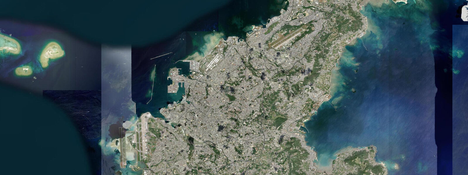
Naha is the capital and main port of Okinawa Prefecture, situated on the southwest coast of Okinawa Island at the northern end of the Ryukyu chain. The tidal regime is mixed semidiurnal: two unequal highs and two unequal lows per day, with diurnal inequality meaning one of the two low tides each day is often substantially lower than the other. Mean tidal range at Naha is approximately 1.5 metres above MLLW. The mixed-semidiurnal pattern means that on some days the lower of the two daily lows drops more than 0.5 metres below the higher low — a difference that matters considerably for reef flat access around the island.
Shuri Castle, 4 kilometres northeast of the harbour, was the palace of the Ryukyu Kingdom from its founding in 1429 through annexation by Japan in 1879. It was designated UNESCO World Heritage in 2000, a recognition of the Ryukyu Kingdom's distinct culture, language, and regional trading connections across East Asia. The main hall (Seiden) burned in a fire in October 2019 and is currently under reconstruction (restoration work ongoing as of 2025, with full reopening targeted for 2026). The outer complex, including the Kankaimon gate, Shureimon gate, and the surrounding ramparts, remains accessible.
Naha's port handles inter-island ferries to the outer Ryukyu islands (Miyakojima, Ishigaki, Kerama Islands), cruise ship arrivals, and the cargo traffic that supplies a prefecture that produces very little of its own food. The Naha Ferry Terminal is a busy transit point; departure schedules from Naha to Miyakojima take approximately 10 to 12 hours overnight, to Ishigaki approximately 12 to 14 hours.
The Kerama Islands — three main islands 30 kilometres west of Naha — are the closest high-quality dive and snorkel destination from the city. Kerama Blue is the local term for the distinctively clear, deep-blue water around the islands, fed by clean Pacific inflow from the Kuroshio Current. Day trips by high-speed ferry from Naha take approximately 35 minutes to Zamami Island (Kerama). The coral reef systems around the Keramas are among the best-preserved in Japan; humpback whales use the area as a winter breeding ground (January through March).
Kokusai-dori (International Street) is the tourist artery of central Naha, running 1.6 kilometres from the monorail station through the commercial centre. Makishi Public Market (Daiichi Makishi Koshin Ichiba), rebuilt and reopened in 2023 after renovation, is the central food market — awamori (Okinawan rice spirit), goya champuru (bitter melon stir-fry), rafute (braised pork belly), and fresh fish from the morning's landings are the food pillars of the prefecture.
Tide predictions on this page come from Open-Meteo Marine, a gridded global ocean model. Accuracy is typically within plus or minus 45 minutes on timing and 0.2 to 0.3 metres on height — model-derived, not from a local pressure gauge. For authoritative Okinawan tide data, consult the Japan Meteorological Agency at jma.go.jp.
Tide questions about Naha
Quick answers to the most common questions about tide times, range, and water access at Naha.
What is the tidal range at Naha and why does it matter for reef access?
Mean tidal range at Naha is approximately 1.5 metres above MLLW, in a mixed-semidiurnal pattern with two unequal daily highs and lows. Diurnal inequality can produce a lower-low more than 0.5 metres below the higher-low on the same day. For reef access, this matters significantly: the coral reef flats that ring most of Okinawa Island are at or near the surface at mean water level. A 0.5 to 1.0 metre drop in water level can expose large sections of reef flat, shifting snorkel and dive sites from swimmable to ankle-deep wading zones. Checking tide state before heading to any reef on the Naha coast is the baseline habit for anyone spending time in the water.
What is the current status of Shuri Castle?
Shuri Castle's main hall (Seiden) burned in a fire on 31 October 2019. The outer complex — Shureimon gate, Kankaimon gate, the perimeter walls, and several secondary buildings — was undamaged and remains accessible. Reconstruction of the Seiden is ongoing as of 2025 under a framework funded by national and prefectural government; the target for reopening the main hall to visitors is 2026. The reconstruction uses traditional Ryukyuan architecture methods where possible. The wider UNESCO World Heritage designation of the Gusuku Sites of the Ryukyu Kingdom remains in effect and was not affected by the fire.
How do I reach the Kerama Islands from Naha?
High-speed ferries from Naha Ferry Terminal connect to Zamami Island (approximately 35 minutes, Zamami-son Ferry) and Tokashiki Island (approximately 35 minutes, Tokashikimura Ferry). Slower car ferries also operate on both routes. Day trips are feasible — the last return ferries depart in late afternoon. The Keramas are the closest high-quality snorkel and dive destination to Naha; humpback whale watching operates in the channel between the islands from January through March. Booking ferry tickets in advance is advisable during Japanese holiday periods (Golden Week, Obon, New Year).
What food is specific to Okinawa?
Okinawan cuisine has distinct roots from mainland Japanese cooking, shaped by the Ryukyu Kingdom's trade connections and subtropical food culture. Goya champuru (bitter melon stir-fried with tofu and pork or spam) is the signature dish. Rafute is braised pork belly in awamori and soy; taco rice (a local adaptation of tacos over rice, originating near US military bases) is ubiquitous. Awamori, distilled from Thai long-grain rice rather than Japanese short-grain, is the local spirit. The Makishi Public Market in central Naha (renovated and reopened 2023) is the most direct access to the prefecture's food culture — fresh reef fish, prepared foods, and awamori under one roof.
Are the tide predictions on this page official?
No. Predictions here come from Open-Meteo Marine, a gridded global ocean model that estimates tidal heights and timing from astronomical inputs. Accuracy is typically within plus or minus 45 minutes on timing and 0.2 to 0.3 metres on height relative to observed levels. For safety-critical decisions — navigation, commercial diving, or any situation where precise water levels matter — use the Japan Meteorological Agency's official tide tables at jma.go.jp. JMA publishes authoritative predictions for reference stations across Okinawa Prefecture. This page is a planning and reference tool, not a substitute for official data.
8-day tide table — Naha
Heights relative to MSL. Predictions: Open-Meteo Marine (MeteoFrance SMOC, 0.08° grid) — heights relative to MSL (not chart datum / LAT). Model-derived.
| Day | Type | Time | Height |
|---|---|---|---|
| Sun 21 Jun | Low | 09:00 | 1.2m |
| High | 10:57 | 1.4m | |
| Low | 17:25 | 0.3m | |
| Mon 22 Jun | High | 00:00 | 1.5m |
| Low | 06:13 | 0.6m | |
| High | 12:10 | 1.3m | |
| Low | 18:18 | 0.5m | |
| Tue 23 Jun | High | 00:51 | 1.5m |
| Low | 19:16 | 0.7m | |
| Wed 24 Jun | High | 01:43 | 1.5m |
| Low | 20:18 | 0.8m | |
| Thu 25 Jun | High | 02:35 | 1.6m |
| Low | 21:18 | 0.9m | |
| Fri 26 Jun | High | 03:20 | 1.6m |
| Low | 10:25 | 0.3m | |
| High | 17:06 | 1.4m | |
| Low | 22:12 | 0.8m | |
| Sat 27 Jun | High | 04:08 | 1.6m |
| Low | 11:06 | 0.1m | |
| High | 17:53 | 1.4m | |
| Low | 23:06 | 0.8m | |
| Sun 28 Jun | High | 04:50 | 1.6m |
| Low | 08:00 | 0.9m |