Miyakojima tide times
Miyakojima tide forecast — heights relative to MSL.
Today's tide times for Miyakojima
Tide times at Miyakojima on Sunday, 21 June 2026: first low tide at 09:00. Sunrise 05:50, sunset 19:30.
Tide chart for Miyakojima
24-hour cosine-interpolated curve around the present moment. Heights relative to MSL. Predictions: Predictions: Open-Meteo Marine (MeteoFrance SMOC, 0.08° grid).
Sun, moon and conditions on Sun 21 Jun
Snapshot at build time — refreshes daily. Sea state from Open-Meteo Marine.
Highs and lows next 7 days
Every predicted high and low for the next week, with the daily tidal coefficient (0–120; higher = bigger swing, > 95 means stronger currents).
Other spots nearby
The three closest curated TideTurtle locations to Miyakojima, measured by great-circle distance.
Today's solunar windows
Solunar tradition: major periods are the ≈3h windows around moon transit and opposition; minor are ≈2h around moonrise and moonset. Pair with the local tide stage and wind for the best read.
Cycle dates near Miyakojima
Next spring tide on Sat 27 Jun (range 1.4m). Next neap on Wed 24 Jun.
Spring tides cluster around new and full moons (biggest swings). Neap tides land on quarter moons (smallest swings). See the spring tide and neap tide glossary entries for the why.
About tides at Miyakojima
A short guide to the coastline at Miyakojima — geography, sea state, and what the tide is actually doing under your feet.
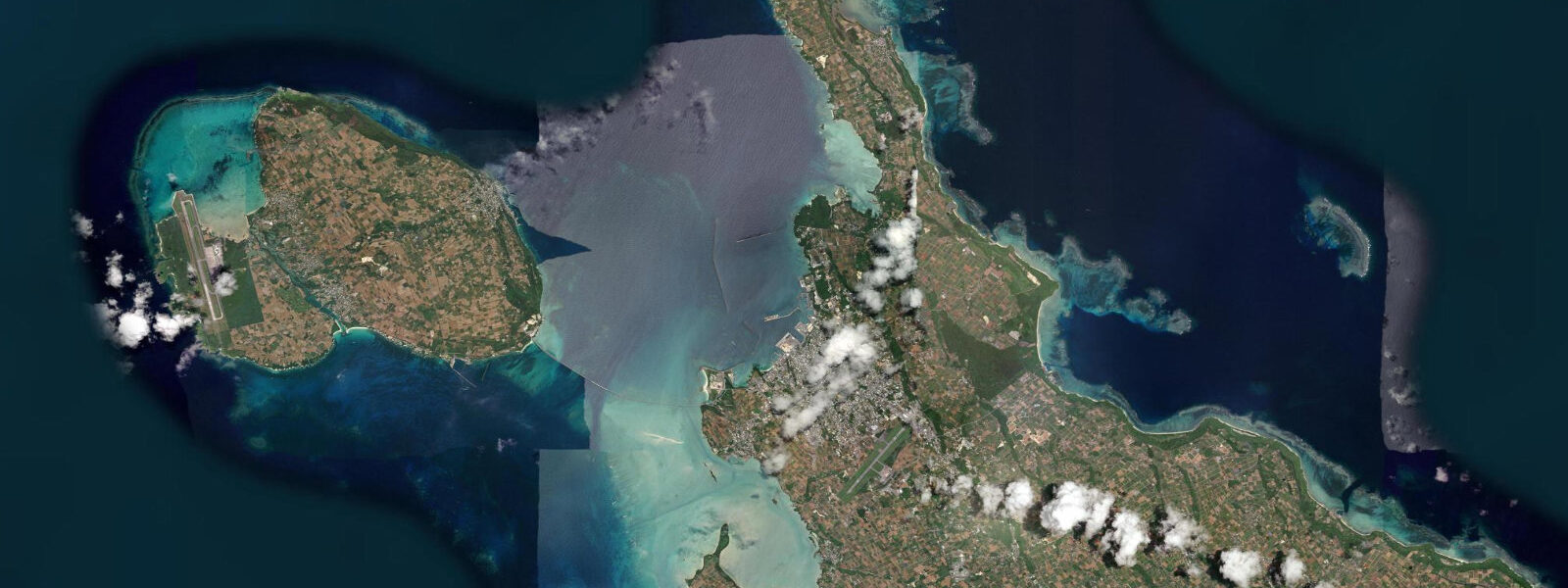
Miyakojima is a flat coral island 300 kilometres southwest of Naha, at the boundary between the East China Sea and the Philippine Sea. The island rises only 35 metres above sea level at its highest point — entirely a raised coral platform, without the volcanic geology that gives the main Okinawan islands their hills. The tidal regime is mixed semidiurnal with a mean range of approximately 1.2 metres above MLLW. The diurnal inequality in the mixed regime matters here more than almost anywhere else in Japan: the lowest-low tides of spring tides drop far enough to expose Yabiji reef.
Yabiji is a 7 km² coral reef platform sitting between Miyakojima and Ikemajima island to the northeast. For the vast majority of the year, Yabiji is underwater — submerged by 0.5 to 2 metres of water depending on tidal state. But during the lowest spring tides of the year — typically a handful of days in April and May, when new or full moon aligns with perigean tides and the diurnal inequality in the mixed regime maximises the lower-low — the reef flat drops close to sea surface or briefly above it. On those days, the reef becomes walkable: a 7 km² landscape of coral heads, tide pools, rock formations, and open reef flat becomes accessible to those who time their arrival to the lowest point of the tide. The reef is accessible from Ikema by wading from the bridge area; local tour operators organise annual Yabiji tours, subject to tide prediction and weather. The annual exposure is not guaranteed — if weather disrupts the window, the opportunity may not recur for a year.
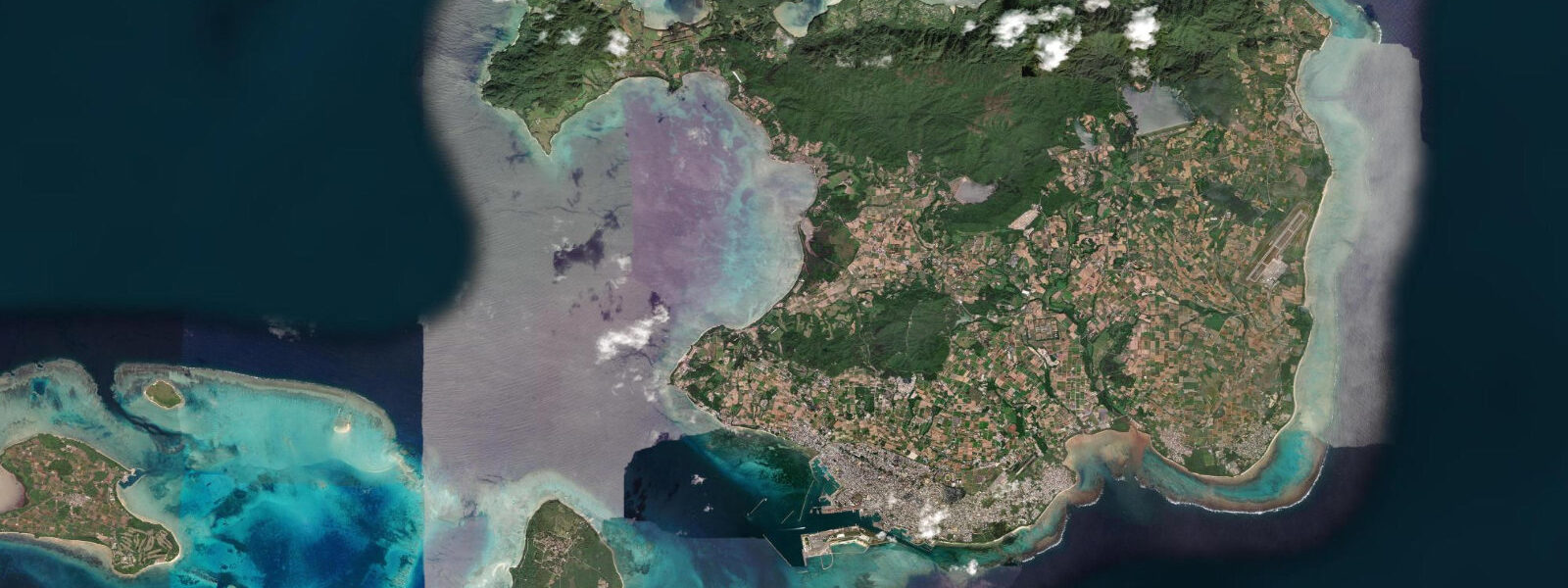
Beyond Yabiji, Miyakojima's snorkelling and diving is among the most consistently clear in the Ryukyus. Yoshino Beach on the southeast coast has a shallow fringing reef accessible by swimming from the beach; the coral coverage and reef fish diversity are high. Water temperature runs 22 to 29°C depending on season. Sunayama Beach on the northwest has an arched rock formation accessible on foot at lower tidal states. Irabu Island (connected to Miyakojima by the Irabu Bridge, Japan's longest toll-free bridge at 3.54 km) has less-visited dive sites and fishing grounds.
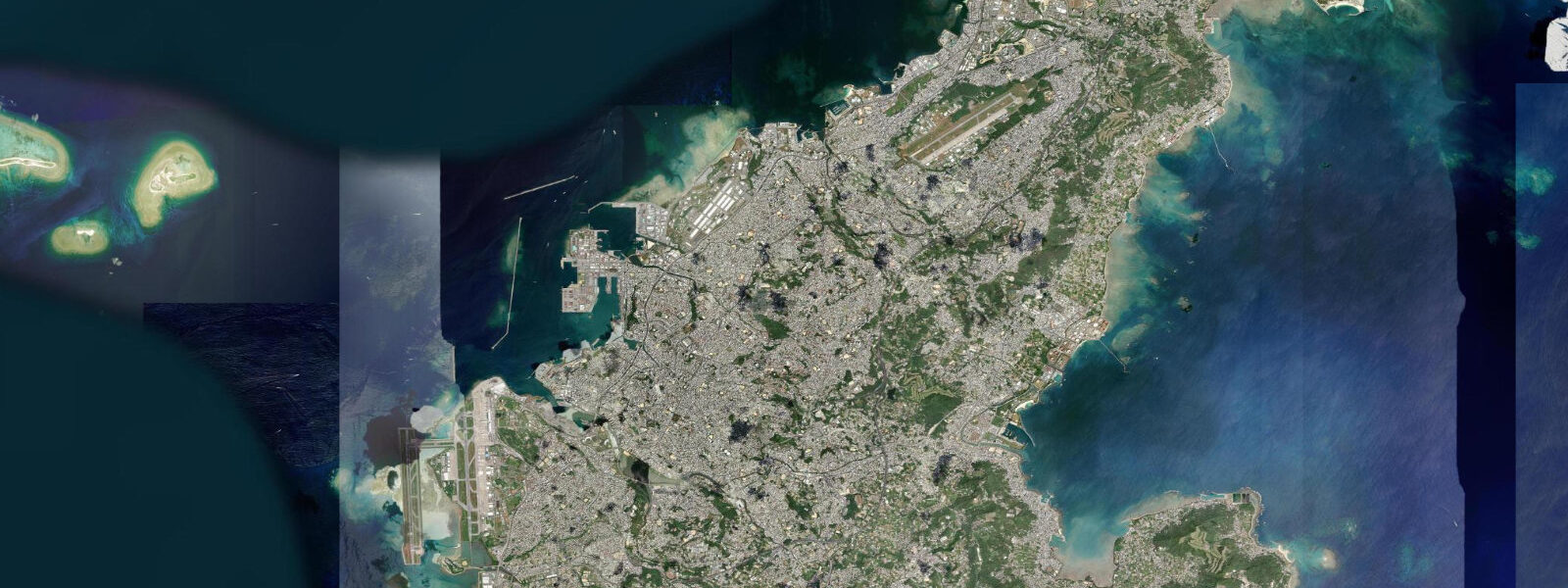
The island is flat enough to cycle entirely — bicycle rental is available in Hirara city. The sugar cane fields that cover the flat interior of the island contrast with the intense blue of the surrounding sea, most visible from the coast roads. Hirara port is the main ferry and cargo terminal; Miyako Airport handles direct flights from Tokyo (3.5 hours), Osaka, and Naha.
Tide predictions on this page come from Open-Meteo Marine, a gridded global ocean model. Accuracy is typically within plus or minus 45 minutes on timing and 0.2 to 0.3 metres on height — model-derived, not from a local pressure gauge. For authoritative tide data, consult the Japan Meteorological Agency at jma.go.jp. The Yabiji tide window requires precise prediction — for the Yabiji reef tours specifically, use JMA data alongside local operator guidance.
Tide questions about Miyakojima
Quick answers to the most common questions about tide times, range, and water access at Miyakojima.
What is the Yabiji reef and when can I walk on it?
Yabiji is a 7 km² coral reef platform between Miyakojima and Ikemajima that is submerged for most of the year. During the lowest spring tides — typically a few days in April and May, when spring tide coincides with perigean conditions and the mixed-semidiurnal diurnal inequality maximises the lower-low water — the reef flat drops close to or briefly above the sea surface. On those days, the reef becomes accessible on foot from the Ikema side. Local tour operators on Miyakojima organise Yabiji walking tours timed to the tide prediction; the window is a few hours at most and is weather-dependent. The event is considered one of Okinawa's most unusual natural spectacles. If conditions prevent access in a given year, the next opportunity is roughly 12 months away. Contact local operators in Miyakojima city (Hirara) for current-season tour availability.
What is the tidal range at Miyakojima?
Mean tidal range at Miyakojima is approximately 1.2 metres above MLLW in a mixed-semidiurnal pattern. The diurnal inequality in the mixed regime means one of the two daily lows is often significantly lower than the other — and on spring tides this inequality is maximised. The lowest spring low tides of the year (typically April–May) are the window for Yabiji reef exposure. For routine reef snorkelling, checking whether the visit coincides with low water (particularly lower-low) matters for reef flat depth: at high water, the reef crest may have 1.5 metres or more over it; at lower-low, 0.1 to 0.3 metres or less.
Is snorkelling at Yoshino Beach suitable for beginners?
Yoshino Beach on Miyakojima's southeast coast has a shallow, accessible fringing reef starting from the beach. The reef begins close to shore and the inner section is shallow enough for beginners at mid-to-high tide. At lower tidal states, the reef flat shallows significantly — fins-only water in places, with the risk of contact with coral if care is not taken. The outer reef slope has deeper water and more advanced dive territory. The coral coverage and fish diversity at Yoshino are high by Japanese standards. Facilities at the beach are minimal — no lifeguard, limited shade. Entry is via a farm road; reef sandals and rash guard or wetsuit are advisable.
How long is the Irabu Bridge and what is on Irabu Island?
The Irabu Bridge connecting Miyakojima to Irabu Island is 3.54 kilometres long — Japan's longest toll-free bridge. Irabu Island and adjacent Shimoji Island (connected to Irabu by two short bridges) have less-visited dive sites, a disused airstrip (Shimoji Airport, formerly used by airlines for training), and quieter beaches than the Miyakojima main island. The channel between the islands produces tidal current that concentrates pelagic fish; boat fishing from Irabu targets bluefin tuna and wahoo in season. The islands are accessible by car from Miyakojima; cycling across the Irabu Bridge is also possible.
Are the tide predictions on this page official?
No. Predictions here come from Open-Meteo Marine, a gridded global ocean model. Accuracy is typically within plus or minus 45 minutes on timing and 0.2 to 0.3 metres on height. For the Yabiji reef specifically, these margins matter — a 0.2 m error on the predicted lowest low can be the difference between a walkable reef and one that stays submerged. Use JMA's official tide tables at jma.go.jp as the primary source for Yabiji tour planning, in combination with local operator knowledge of recent tide gauge readings. For general planning and orientation, this page is a useful reference tool.
8-day tide table — Miyakojima
Heights relative to MSL. Predictions: Open-Meteo Marine (MeteoFrance SMOC, 0.08° grid) — heights relative to MSL (not chart datum / LAT). Model-derived.
| Day | Type | Time | Height |
|---|---|---|---|
| Sun 21 Jun | Low | 09:00 | 1.3m |
| Mon 22 Jun | High | 00:13 | 1.5m |
| Low | 06:22 | 0.7m | |
| High | 12:16 | 1.4m | |
| Low | 18:18 | 0.6m | |
| Tue 23 Jun | High | 01:03 | 1.6m |
| Low | 07:36 | 0.7m | |
| High | 13:45 | 1.3m | |
| Low | 19:22 | 0.8m | |
| Wed 24 Jun | High | 01:56 | 1.6m |
| Low | 08:43 | 0.6m | |
| High | 15:12 | 1.4m | |
| Low | 20:22 | 0.9m | |
| Thu 25 Jun | High | 02:48 | 1.6m |
| Low | 09:42 | 0.6m | |
| High | 16:12 | 1.4m | |
| Fri 26 Jun | Low | 10:35 | 0.4m |
| High | 17:18 | 1.4m | |
| Low | 22:16 | 0.9m | |
| Sat 27 Jun | High | 04:15 | 1.6m |
| Low | 11:17 | 0.3m | |
| High | 18:00 | 1.4m | |
| Low | 23:06 | 0.9m | |
| Sun 28 Jun | High | 04:57 | 1.7m |
| Low | 08:00 | 1.1m |