Ishigaki tide times
Ishigaki tide forecast — heights relative to MSL.
Today's tide times for Ishigaki
Tide times at Ishigaki on Sunday, 21 June 2026: first low tide at 09:00, first high tide at 11:03, second low tide at 17:35. Sunrise 05:55, sunset 19:34.
Tide chart for Ishigaki
24-hour cosine-interpolated curve around the present moment. Heights relative to MSL. Predictions: Predictions: Open-Meteo Marine (MeteoFrance SMOC, 0.08° grid).
Sun, moon and conditions on Sun 21 Jun
Snapshot at build time — refreshes daily. Sea state from Open-Meteo Marine.
Highs and lows next 7 days
Every predicted high and low for the next week, with the daily tidal coefficient (0–120; higher = bigger swing, > 95 means stronger currents).
Other spots nearby
The three closest curated TideTurtle locations to Ishigaki, measured by great-circle distance.
Today's solunar windows
Solunar tradition: major periods are the ≈3h windows around moon transit and opposition; minor are ≈2h around moonrise and moonset. Pair with the local tide stage and wind for the best read.
Cycle dates near Ishigaki
Last spring tide on Sun 21 Jun (range 1.0m). Next spring tide on Sat 27 Jun (range 1.3m). Next neap on Wed 24 Jun.
Spring tides cluster around new and full moons (biggest swings). Neap tides land on quarter moons (smallest swings). See the spring tide and neap tide glossary entries for the why.
About tides at Ishigaki
A short guide to the coastline at Ishigaki — geography, sea state, and what the tide is actually doing under your feet.
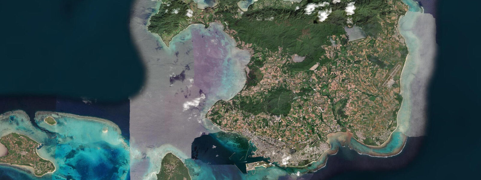
Ishigaki is the main island of the Yaeyama group, the southernmost chain of the Ryukyus, 410 kilometres southwest of Naha and closer to Taiwan (270 km) than to Tokyo (2,050 km). The island sits at the edge of the Philippine Sea where it deepens rapidly offshore — the shelf is narrow and the open ocean approaches from the southeast. The tidal regime is mixed semidiurnal with a mean range of approximately 1.7 metres above MLLW, the largest of the major Ryukyu islands and notably larger than Miyakojima 130 km to the northeast. Spring tide range can reach approximately 2.0 metres above MLLW at Ishigaki. The wider range relative to the northern Ryukyus reflects Ishigaki's position at the outer margin of the chain with more direct exposure to the open Pacific tidal forcing.
Kabira Bay on the northwest coast of Ishigaki is the island's most-photographed scene: a shallow bay with water that shifts from turquoise to deep emerald depending on cloud cover and sun angle, with small wooded islands breaking the bay surface. Kabira is a black pearl farming area; the submerged pearl oyster culture systems are the reason swimming is prohibited (entanglement risk, protection of the farming infrastructure). Glass-bottom boat tours (15 to 20 minutes) give access to the bay's underwater visibility without disturbing the pearl lines. The bay is most visited from April through October; outside the typhoon season (September–October) the sea is generally clear and settled.
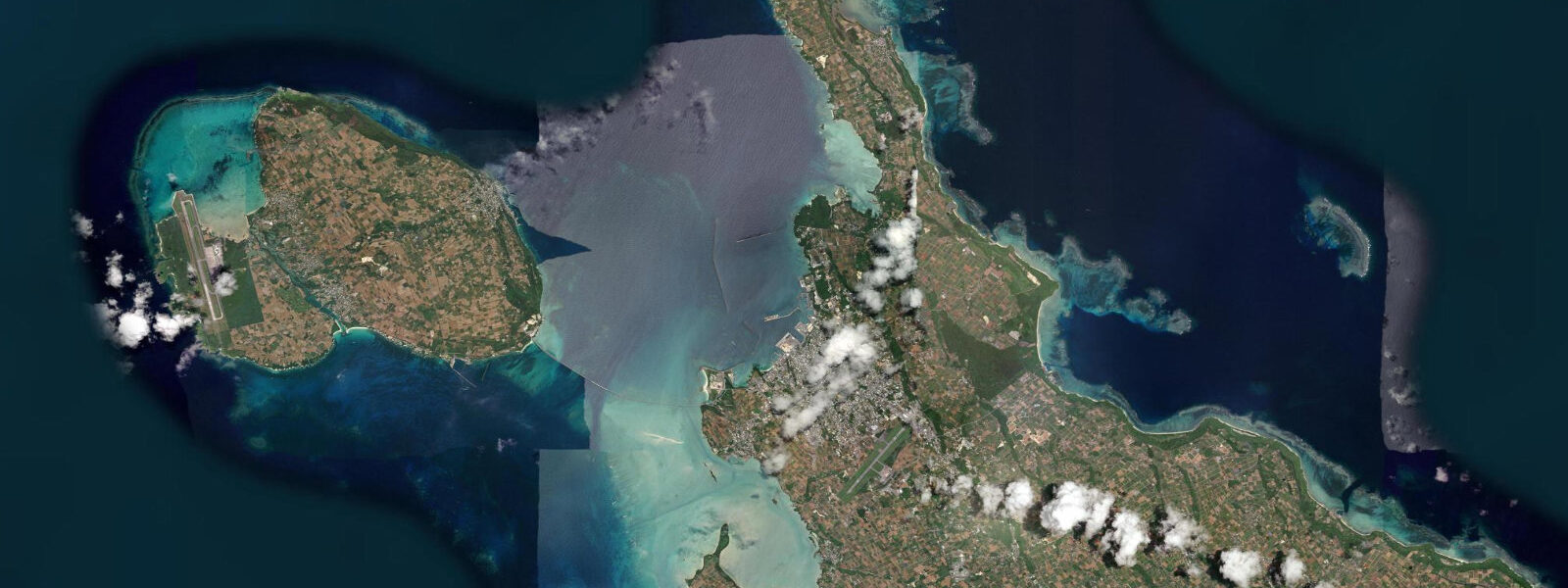
Taketomi Island, 6 kilometres from Ishigaki by ferry (10 minutes), is a flat coral island of about 6 km² with a preserved Ryukyuan village of whitewashed stone walls, red tile roofs, and lion (shisa) figurines — one of the most intact traditional village streetscapes in Japan. Water buffalo cart rides are the main visitor experience; the pace is deliberately slow. Kondoi Beach on Taketomi's west coast has a reef flat that exposes at low water, extending several hundred metres at lower spring tides. The ferry from Ishigaki port to Taketomi runs frequently through the day.
Anei Beach (Kabira adjoining coast), Sukuji Beach, and the beaches of the Tōrinoshima uninhabited island to the north of Ishigaki offer dive and snorkel access to the Yaeyama reef system — one of the largest intact coral reef ecosystems in Japan. Manta ray sightings are reliable at the cleaning stations off Kabira and Manta Scramble north of Ishigaki; the best sightings are typically June through October during the warmer-water months. The offshore channel between Ishigaki and Iriomote Island (40 km to the west) is a navigation corridor for pelagic species including whale sharks, sighted with some consistency in the Ishigaki area in June.
Ishigaki Airport (opened 2013, replacing the former city-centre airport) handles direct flights from Tokyo (3.5 to 4 hours), Osaka, Nagoya, and Naha. The island functions as the gateway hub for the Yaeyama group: ferries to Taketomi, Iriomote, Kohama, and Hateruma (Japan's southernmost inhabited island) all depart from Ishigaki port.
Tide predictions on this page come from Open-Meteo Marine, a gridded global ocean model. Accuracy is typically within plus or minus 45 minutes on timing and 0.2 to 0.3 metres on height — model-derived, not from a local pressure gauge. For authoritative Yaeyama tide data, consult the Japan Meteorological Agency at jma.go.jp.
Tide questions about Ishigaki
Quick answers to the most common questions about tide times, range, and water access at Ishigaki.
Why is Kabira Bay off-limits for swimming?
Kabira Bay is designated a prohibited swimming area because of the active black pearl oyster aquaculture operating in the bay. The submerged pearl oyster culture systems — lines, nets, and raft infrastructure below the surface — create entanglement risk for swimmers and potential damage to the farming operations. Glass-bottom boat tours from the bay's small pier give clear views of the underwater scene without the risks. Kabira's water is safe to enter by kayak or glass-bottom boat; the prohibition is specifically against free swimming and diving within the bay boundaries. The pearl farming here produces some of Japan's highest-grade Akoya and South Sea black pearls.
What is the tidal range at Ishigaki and how does it affect reef access?
Mean tidal range at Ishigaki is approximately 1.7 metres above MLLW — larger than at Naha (1.5 m) and Miyakojima (1.2 m). Spring tide range can reach around 2.0 metres above MLLW. The wider range reflects Ishigaki's position at the outer, more directly exposed margin of the Ryukyu chain. For reef access, this range means the difference between high and low water over the fringing reef systems is significant — at lower spring tides, reef platforms that are 1.5 to 2.0 metres underwater at high tide emerge to near the surface or above it. Kondoi Beach on Taketomi and the Ishigaki fringing reef systems change character substantially through a tidal cycle. Snorkelling and walking reef access windows are best planned against current tide tables.
When are manta rays visible near Ishigaki?
Manta rays are reliably sighted at the cleaning stations near Kabira Bay and at 'Manta Scramble' — a dive site north of Ishigaki in the channel toward Iriomote. The best season is June through October when water temperatures are warmest (28 to 30°C). Manta Scramble in particular produces encounters in most conditions through that period; the site sits in 10 to 20 metres of water at a cleaning station where mantas return regularly. Dive operators in Ishigaki run dedicated manta boat trips year-round, with highest frequency and reliability from late June through September. Whale shark sightings in the Ishigaki area are documented most often in June in the channel between Ishigaki and Iriomote.
What is Taketomi Island?
Taketomi is a flat coral island 6 km from Ishigaki port (10-minute ferry). The village of around 350 residents has maintained a traditional Ryukyuan streetscape — whitewashed coralstone walls, red tile roofs, shisa guardian lion figurines on every roofline — largely intact. The island's flat topography, narrow lanes, and village-scale make it navigable on foot or by bicycle. Water buffalo cart rides through the village lanes are the signature visitor experience. Kondoi Beach on the west coast has a long reef flat that exposes at lower tidal states. The ferry from Ishigaki runs frequently; a day trip is straightforward, though staying overnight (in a traditional guesthouse) gives a quieter evening experience after day visitors leave.
Are the tide predictions on this page official?
No. Predictions here come from Open-Meteo Marine, a gridded global ocean model that estimates tidal heights and timing from astronomical inputs. Accuracy is typically within plus or minus 45 minutes on timing and 0.2 to 0.3 metres on height relative to observed levels. For navigation in the Yaeyama islands' channels — between Ishigaki, Iriomote, Kohama, and Taketomi — use the Japan Meteorological Agency's official tide tables at jma.go.jp. JMA publishes authoritative predictions for Ishigaki and is the reference source for inter-island ferry and boat operators. This page is a planning and reference tool, not a substitute for official data.
8-day tide table — Ishigaki
Heights relative to MSL. Predictions: Open-Meteo Marine (MeteoFrance SMOC, 0.08° grid) — heights relative to MSL (not chart datum / LAT). Model-derived.
| Day | Type | Time | Height |
|---|---|---|---|
| Sun 21 Jun | Low | 09:00 | 1.2m |
| High | 11:03 | 1.4m | |
| Low | 17:35 | 0.5m | |
| Mon 22 Jun | High | 00:18 | 1.4m |
| Low | 06:23 | 0.7m | |
| Tue 23 Jun | High | 01:10 | 1.5m |
| Low | 07:38 | 0.7m | |
| High | 13:52 | 1.3m | |
| Low | 19:21 | 0.8m | |
| Wed 24 Jun | High | 02:00 | 1.5m |
| Low | 08:50 | 0.7m | |
| High | 15:21 | 1.3m | |
| Low | 20:21 | 0.9m | |
| Thu 25 Jun | High | 02:50 | 1.6m |
| Low | 09:54 | 0.6m | |
| High | 16:22 | 1.3m | |
| Low | 21:22 | 0.9m | |
| Fri 26 Jun | High | 03:36 | 1.6m |
| Low | 10:42 | 0.4m | |
| High | 17:18 | 1.4m | |
| Low | 22:16 | 0.9m | |
| Sat 27 Jun | High | 04:24 | 1.6m |
| Low | 11:25 | 0.3m | |
| High | 18:10 | 1.4m | |
| Low | 23:06 | 0.9m | |
| Sun 28 Jun | High | 05:02 | 1.6m |
| Low | 08:00 | 1.1m |