Nagasaki tide times
Nagasaki tide forecast — heights relative to MSL.
Today's tide times for Nagasaki
Tide times at Nagasaki on Friday, 19 June 2026: first high tide at 10:15, first low tide at 16:55, second high tide at 23:35. Sunrise 05:12, sunset 19:30.
Tide chart for Nagasaki
24-hour cosine-interpolated curve around the present moment. Heights relative to MSL. Predictions: Predictions: Open-Meteo Marine (MeteoFrance SMOC, 0.08° grid).
Sun, moon and conditions on Fri 19 Jun
Snapshot at build time — refreshes daily. Sea state from Open-Meteo Marine.
Highs and lows next 7 days
Every predicted high and low for the next week, with the daily tidal coefficient (0–120; higher = bigger swing, > 95 means stronger currents).
Other spots nearby
The three closest curated TideTurtle locations to Nagasaki, measured by great-circle distance.
Today's solunar windows
Solunar tradition: major periods are the ≈3h windows around moon transit and opposition; minor are ≈2h around moonrise and moonset. Pair with the local tide stage and wind for the best read.
Cycle dates near Nagasaki
Last spring tide on Fri 19 Jun (range 2.4m). Next neap on Mon 22 Jun.
Spring tides cluster around new and full moons (biggest swings). Neap tides land on quarter moons (smallest swings). See the spring tide and neap tide glossary entries for the why.
About tides at Nagasaki
A short guide to the coastline at Nagasaki — geography, sea state, and what the tide is actually doing under your feet.
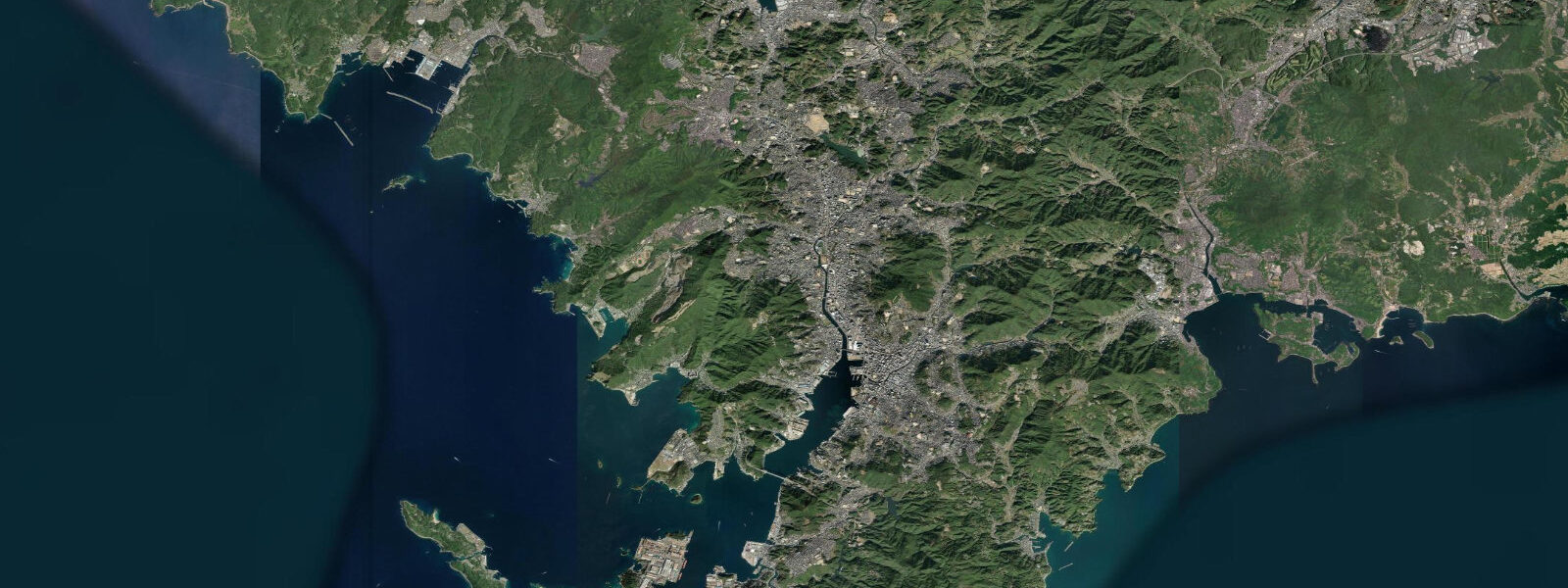
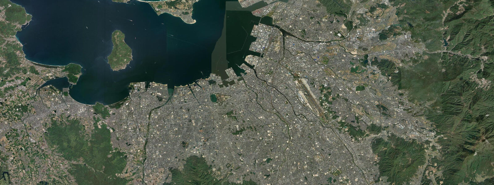
Nagasaki is on the west coast of Kyushu, facing the East China Sea in a deep natural harbour formed by the Urakami River estuary surrounded by hills. The city is defined by its history as Japan's window to the world (the only port open to foreign trade during the Edo period isolation, through the Dejima island trading post) and by the atomic bomb dropped here on 9 August 1945. The tidal pattern is semidiurnal with a mean spring range of about 2.0 metres in the harbour — significant enough to affect the inner harbour fish traps and the traditional fishing culture.
The Nagasaki Peace Park and the Atomic Bomb Museum at the hypocenter of the 1945 blast are 3 kilometres north of the station — a profound and comprehensive memorial that presents the human cost of nuclear warfare without political editorialising. The hypocenter marker is in the Peace Park; the museum is adjacent. This is essential history for any visitor to Japan regardless of perspective.
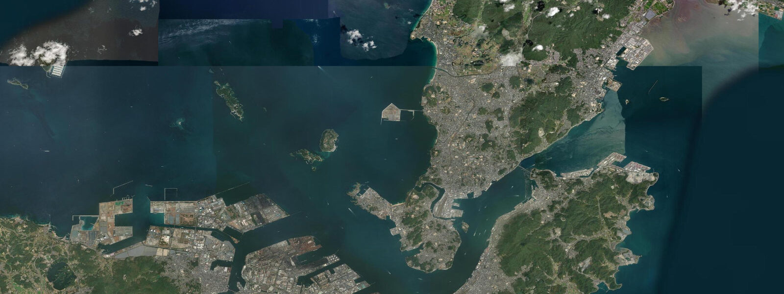
Gunkanjima (Battleship Island, formally Hashima Island) is a decommissioned coal mine island 18 km offshore, uninhabited since 1974, accessible by day boat from Nagasaki harbour since 2009. The concrete apartment blocks and mine infrastructure — all abandoned — earned the island its UNESCO World Heritage listing in 2015. The island looks precisely like a warship from the sea; its density (at peak capacity in 1959 it housed 5,259 people in 0.063 km²) made it the most densely populated place on earth per unit area. Boat tours depart from Nagasaki harbour; rough sea days cause cancellations.
Fishing in Nagasaki Prefecture targets Pacific bluefin tuna, amberjack (hamachi), and sea bream from the island-studded Goto-retto chain offshore. The Nagasaki fishing industry is one of the largest in Japan by value; the morning fish auction at the harbour processes significant volumes.
The Dejima Dutch trading post — reconstructed in the harbour area — documents the Edo isolation period when only Dutch and Chinese ships were permitted to trade with Japan. The reconstructed warehouses and merchant buildings give the most complete picture of the trading post as it functioned from 1641 to 1853.
Predictions on this page come from Open-Meteo Marine, a gridded global ocean model. Accuracy is typically within plus or minus 45 minutes on timing and 0.2 to 0.3 metres on height — model-derived, not from a local gauge. For authoritative Japanese tide data, consult the Japan Meteorological Agency at jma.go.jp.
Tide questions about Nagasaki
Quick answers to the most common questions about tide times, range, and water access at Nagasaki.
What is Gunkanjima?
Gunkanjima (Battleship Island, formally Hashima Island) is a 0.063 km² artificial island 18 km southwest of Nagasaki, built up as a submarine coal mine from 1887 to 1974. At peak occupancy (1959) it housed 5,259 people — the world's highest recorded population density. The island was abandoned when the coal mine closed in 1974; the concrete buildings and mine infrastructure have been decaying since. UNESCO World Heritage listed in 2015. Day boat tours from Nagasaki harbour visit the island; landing is permitted on a controlled boardwalk through part of the outer section.
What is the tidal range at Nagasaki?
Mean spring range at Nagasaki harbour is approximately 2.0 metres. The Goto-retto island chain and the East China Sea produce a complex tidal pattern in the outer approaches; the harbour amplifies the tidal exchange. The inner harbour fish culture (traditional weir fishing for mullet and sea bream using tidal flow) is practiced in the shallow sections at the river mouths and uses the tidal cycle actively for fish trapping.
Should I visit the Atomic Bomb Museum at Nagasaki?
The Nagasaki Atomic Bomb Museum is one of the most carefully curated and accessible accounts of nuclear warfare in any language. It presents the physics of the bomb, the human death toll (estimated 70,000–80,000 deaths in 1945, with long-term radiation illness affecting many more), survivor testimonies, and the international context of 1945. It is not graphic for its own sake; it is sobering and important. The Peace Park adjacent includes the hypocenter marker and an international memorial garden. Allow 2 to 3 hours; combined visit with the Hiroshima Peace Memorial Museum gives the most complete understanding.
What is Dejima?
Dejima was a fan-shaped artificial island in Nagasaki harbour where the Dutch East India Company (VOC) maintained Japan's only permitted trading post during the Edo period (1641–1853). The Dutch were the only Europeans permitted to trade with Japan during this 212-year isolation; the island housed Dutch merchants and the goods they exchanged with Japanese brokers. It was the sole conduit for European knowledge and goods to Japan during the period. The reconstructed Dejima is now a historical museum near the modern waterfront, with period-accurate buildings, artifacts, and English-language interpretation.
How do I get to Nagasaki from Tokyo?
By shinkansen (bullet train): Tokyo to Hakata (Fukuoka) on the Tokaido-Sanyo Line in 5.5 hours, then the Nagasaki Shinkansen (Nishikyushu Shinkansen, opened 2022) from Takeo-Onsen to Nagasaki in 23 minutes (total journey with connection: about 6.5 hours). By air: JAL and ANA fly Tokyo Haneda to Nagasaki in 1.75 hours (multiple daily flights). The flight is significantly faster for most itineraries; the shinkansen is useful for JR Pass holders.
8-day tide table — Nagasaki
Heights relative to MSL. Predictions: Open-Meteo Marine (MeteoFrance SMOC, 0.08° grid) — heights relative to MSL (not chart datum / LAT). Model-derived.
| Day | Type | Time | Height |
|---|---|---|---|
| Fri 19 Jun | High | 10:15 | 1.4m |
| Low | 16:55 | -0.9m | |
| High | 23:35 | 1.5m | |
| Sat 20 Jun | Low | 05:32 | -0.0m |
| High | 11:07 | 1.3m | |
| Low | 17:45 | -0.5m | |
| Sun 21 Jun | High | 00:15 | 1.4m |
| Low | 06:33 | -0.1m | |
| High | 12:10 | 1.0m | |
| Low | 18:36 | -0.4m | |
| Mon 22 Jun | High | 01:02 | 1.2m |
| Low | 07:26 | -0.2m | |
| Tue 23 Jun | High | 01:48 | 1.1m |
| Low | 08:26 | -0.2m | |
| Wed 24 Jun | High | 02:40 | 1.1m |
| Low | 09:22 | -0.2m | |
| High | 16:13 | 1.0m | |
| Low | 21:34 | 0.3m | |
| Thu 25 Jun | High | 03:37 | 1.2m |
| Low | 10:26 | -0.3m | |
| High | 17:14 | 1.1m | |
| Low | 22:45 | 0.3m | |
| Fri 26 Jun | High | 04:25 | 1.1m |
| Low | 08:00 | 0.3m |