Whitehouse, Westmoreland tide times
Whitehouse, Westmoreland tide forecast — heights relative to MSL.
Today's tide times for Whitehouse, Westmoreland
Tide times at Whitehouse, Westmoreland on Friday, 19 June 2026: first low tide at 12:00am, first high tide at 05:50am, second low tide at 01:00pm. Sunrise 10:36am, sunset 11:49pm.
Tide chart for Whitehouse, Westmoreland
24-hour cosine-interpolated curve around the present moment. Heights relative to MSL. Predictions: Predictions: Open-Meteo Marine (MeteoFrance SMOC, 0.08° grid).
Sun, moon and conditions on Fri 19 Jun
Snapshot at build time — refreshes daily. Sea state from Open-Meteo Marine.
Highs and lows next 7 days
Every predicted high and low for the next week, with the daily tidal coefficient (0–120; higher = bigger swing, > 95 means stronger currents).
Other spots nearby
The three closest curated TideTurtle locations to Whitehouse, Westmoreland, measured by great-circle distance.
Today's solunar windows
Solunar tradition: major periods are the ≈3h windows around moon transit and opposition; minor are ≈2h around moonrise and moonset. Pair with the local tide stage and wind for the best read.
About tides at Whitehouse, Westmoreland
A short guide to the coastline at Whitehouse, Westmoreland — geography, sea state, and what the tide is actually doing under your feet.
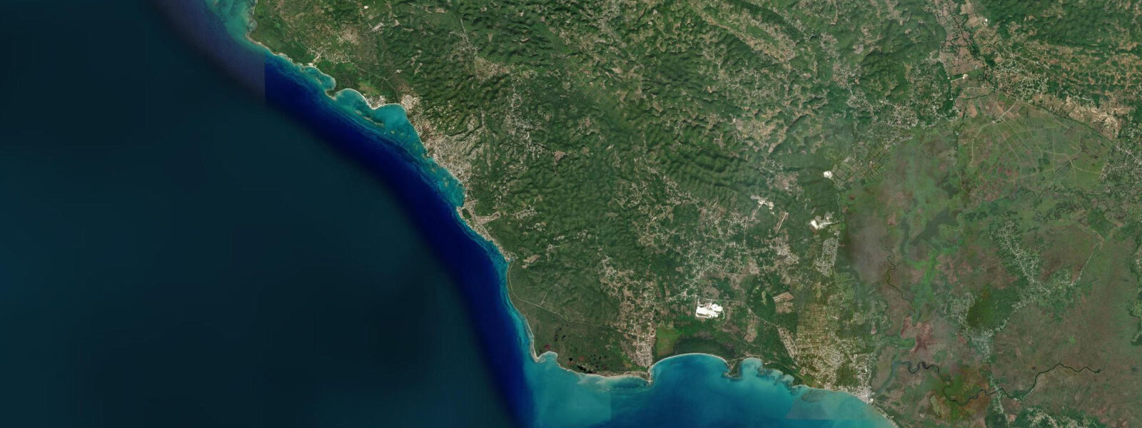
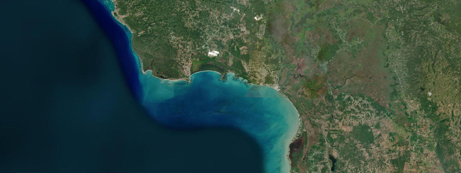
Whitehouse is a fishing village on Jamaica's south coast in Westmoreland parish, shielded from the open Caribbean by an offshore reef that runs parallel to the shoreline 300–500 m seaward. It is not on the tourist circuit in any meaningful way — there are no resort hotels, no beach bars with laminated menus, and the road through town connects sugar-cane fields to the coast rather than villa estates to the sea. What Whitehouse has is a calm lagoon, a working reef, and the kind of morning activity at the beach that you find where fishing is still a livelihood.
The tidal range is Caribbean microtidal: mean spring range 0.2–0.5 m. The offshore reef defines the experience of the tide here in a way it does not at more open beaches. The reef is a partial barrier to oceanic swell, but the tidal signal passes through freely — the water level inside the lagoon rises and falls with the tide just as it does on the seaward side, and that 0.3–0.5 m change in depth matters in a lagoon that is only 1–3 m deep at high water.
At high water, the lagoon between shore and reef holds 1–3 m of calm, clear water. At low water, depth drops to 0.5–1.5 m across much of the lagoon floor — the shallower patches expose limestone and rubble bottom. Snorkellers who enter the lagoon at low tide on a spring ebb should check depth across their planned route before committing; a tideturtle.com tide prediction and a 1-hour margin either side of low water is enough to pick the right entry window.
Local fishing pirogues — wooden dugout canoes, typically 5–7 m, often reinforced with fibreglass patches along the keel — launch through a gap in the reef to fish the outer reef and open water beyond. The gap is a natural break in the reef structure wide enough for a small vessel; it is found by local knowledge, not by chart. Passage through the gap is safest at mid-tide, when there is enough water over the surrounding reef to give margin for error but the current through the gap is not yet at its peak flood velocity. Arriving from the seaward side, local fishermen read the wave pattern at the gap: a clean swell without break indicates the transit is clear. The pirogues return through the same gap on the afternoon ebb, typically between 14:00 and 16:00, bringing the day's catch of snapper, parrotfish, and triggerfish taken from lines and traps set on the outer reef.
The outer reef — sometimes referred to locally as Jamaica Pegasus Reef in dive operator materials — is a certified dive and snorkelling site. The inner face of the reef is heavily colonised with hard corals, sea fans, and sponges; the outer wall drops to 30 m with consistent topography. Visibility on calm days reaches 20–25 m. The reef at this part of Jamaica's south coast is less dived than the north coast (Montego Bay, Negril) and shows correspondingly better coral coverage and fish density. A dive operator based in the nearest town handles bookings; transfer to the reef is by small boat.
The Saint Elizabeth coast is visible to the east from the Whitehouse beach — the landscape shifts from the low-lying Westmoreland cane fields to the steeper limestone hills of Saint Elizabeth as the eye tracks east. Alligator Pond, 25 km east in Saint Elizabeth parish, has a coastal lagoon with a resident wild American crocodile population. Crocodiles are visible from shore at first light, between 05:30 and 07:00, basking on the lagoon bank before the day warms. The road from Whitehouse to Alligator Pond follows the coast through Gut River and Font Hill — a 30-minute drive on a road that is mostly sealed but narrows in places.
Black River, 30 km east of Whitehouse in Saint Elizabeth parish, is Jamaica's longest river. Black River Safaris runs boat tours from the town of Black River into the tidal lower reaches of the river, where mangrove channels and tidal flats hold American crocodiles, herons, and kingfishers. The tidal influence extends 5–8 km upstream from the river mouth; the safari boats run on the flood tide for the upstream leg and return on the ebb, which takes about two hours round-trip. It is one of the more reliable wildlife experiences on Jamaica's south coast and requires no specialist equipment.
To the northwest, the Negril coast is visible on clear days from the higher ground above Whitehouse — the distinctive flat line of the Seven Mile Beach and the Negril lighthouse mark the western tip of Jamaica. The road northwest from Whitehouse joins the Negril-Savanna-la-Mar coastal road at Ferris Cross.
For families, the lagoon at Whitehouse is one of the calmer swimming environments on the south coast when wind is light. There are no facilities — no lifeguards, no sunbed hire, no café. Bring everything needed for a full day. The fishing beach operates from first light; the pirogues going out through the reef gap between 05:30 and 07:00 are worth watching if you are an early riser.
Tide data for Whitehouse, Westmoreland comes from the Open-Meteo Marine API, a gridded model product. Timing accuracy is ±45 minutes, height accuracy ±0.3 m — usable for trip planning, not for navigation.
Tide questions about Whitehouse, Westmoreland
Quick answers to the most common questions about tide times, range, and water access at Whitehouse, Westmoreland.
What time do the fishing pirogues go out through the reef gap at Whitehouse?
Local fishing pirogues typically launch between 05:30 and 07:00, timed to cross the reef gap at mid-tide on the morning flood — when there is enough water over the surrounding reef to give clearance but the current through the gap is not yet running at full speed. The exact window shifts each day as the tidal cycle advances roughly 50 minutes. Check the tideturtle.com tide table the evening before: find the morning high water, subtract 3 hours to estimate mid-flood, and the pirogue fleet will usually be moving around that window. The pirogues return through the same gap in the mid-afternoon, typically between 14:00 and 16:00, on the ebb tide.
What depth is the lagoon at Whitehouse at low tide?
At low water on a Caribbean spring tide, the Whitehouse lagoon drops to 0.5–1.5 m across most of its area. The shallowest zones — over limestone rubble and reef base — can drop to 0.3–0.5 m, exposing bottom in patches. The spring tidal range here is 0.2–0.5 m; on neap tides the range is smaller and low water is higher. Snorkellers should time entry to avoid the lowest 90 minutes of the tidal cycle on spring days; entering at mid-tide or rising tide gives 1.0–2.0 m of clearance over the lagoon floor throughout the swim. Check the tideturtle.com prediction and target the window from 2 hours before high water to 1 hour after.
How do I get to the crocodile lagoon at Alligator Pond from Whitehouse?
Alligator Pond is 25 km east of Whitehouse along the south coast road through Gut River and Font Hill in Saint Elizabeth parish. The drive takes approximately 30 minutes; the road is mostly sealed but narrows through the villages. Crocodiles are most reliably visible at first light — plan to arrive at the lagoon by 05:30 to catch animals basking on the bank before the day warms. There is no formal viewing infrastructure: park at the road edge near the lagoon and scan the bank with binoculars. The crocodiles are American crocodiles (Crocodylus acutus) and are genuinely wild — maintain a safe distance from the water's edge. No guide is required but local knowledge of the exact sighting spots is useful; ask at the fishing beach in Alligator Pond village.
What is the Black River Safari and is it worth the trip from Whitehouse?
Black River Safaris operates boat tours from the town of Black River, 30 km east of Whitehouse in Saint Elizabeth parish, into the tidal lower reaches of Jamaica's longest river. The boats run upstream on the flood tide through mangrove-lined channels where American crocodiles, great egrets, belted kingfishers, and tarpon are commonly seen. Each tour is roughly 90 minutes. The tidal influence in the Black River lower reaches runs 5–8 km upstream; crocodile sightings are more frequent on the upstream leg when animals are in the tidal flats. Tours typically depart at 09:00 and 12:00 — the morning departure on an incoming tide is the better choice. From Whitehouse, allow 35 minutes' drive east on the coast road. It is a reliable wildlife excursion with no specialist equipment required.
Is the reef at Whitehouse good for snorkelling and how do I access it?
The offshore reef at Whitehouse has above-average coral coverage and fish density compared to Jamaica's more visited north-coast sites, with lower dive traffic and correspondingly less stress on the coral. The inner lagoon face has hard corals, sea fans, and a consistent population of snapper, parrotfish, and triggerfish. The outer wall drops to 30 m and is a certified dive site. Snorkelling access from shore requires crossing the lagoon (200–500 m, depending on the entry point) to reach the reef face — manageable at mid-tide for a confident swimmer. A mask, snorkel, and fins from a local operator or hotel are sufficient. For the outer wall, engage a dive operator from Whitehouse or the nearest town who can transport you directly to the reef in a small boat — they will also know current conditions and visibility.
7-day tide table — Whitehouse, Westmoreland
Heights relative to MSL. Predictions: Open-Meteo Marine (MeteoFrance SMOC, 0.08° grid) — heights relative to MSL (not chart datum / LAT). Model-derived.
| Day | Type | Time | Height |
|---|---|---|---|
| Fri 19 Jun | Low | 00:00 | 0.4m |
| High | 05:50 | 0.6m | |
| Low | 13:00 | 0.4m | |
| Sat 20 Jun | High | 07:00 | 0.6m |
| Sun 21 Jun | Low | 01:50 | 0.5m |
| Mon 22 Jun | — | ||
| Tue 23 Jun | High | 09:00 | 0.5m |
| Wed 24 Jun | Low | 16:45 | 0.4m |
| Thu 25 Jun | High | 00:10 | 0.7m |
| Low | 17:00 | 0.3m | |
| High | 23:00 | 0.6m | |