Rose Hall tide times
Rose Hall tide forecast — heights relative to MSL.
Today's tide times for Rose Hall
Tide times at Rose Hall on Sunday, 21 June 2026: first high tide at 07:00am, first low tide at 02:10pm, second high tide at 09:00pm. Sunrise 10:35am, sunset 11:50pm.
Tide chart for Rose Hall
24-hour cosine-interpolated curve around the present moment. Heights relative to MSL. Predictions: Predictions: Open-Meteo Marine (MeteoFrance SMOC, 0.08° grid).
Sun, moon and conditions on Sun 21 Jun
Snapshot at build time — refreshes daily. Sea state from Open-Meteo Marine.
Highs and lows next 7 days
Every predicted high and low for the next week, with the daily tidal coefficient (0–120; higher = bigger swing, > 95 means stronger currents).
Other spots nearby
The three closest curated TideTurtle locations to Rose Hall, measured by great-circle distance.
Today's solunar windows
Solunar tradition: major periods are the ≈3h windows around moon transit and opposition; minor are ≈2h around moonrise and moonset. Pair with the local tide stage and wind for the best read.
Cycle dates near Rose Hall
Last spring tide on Sun 21 Jun (range 0.2m). Next spring tide on Sat 27 Jun (range 0.3m). Next neap on Tue 23 Jun.
Spring tides cluster around new and full moons (biggest swings). Neap tides land on quarter moons (smallest swings). See the spring tide and neap tide glossary entries for the why.
About tides at Rose Hall
A short guide to the coastline at Rose Hall — geography, sea state, and what the tide is actually doing under your feet.
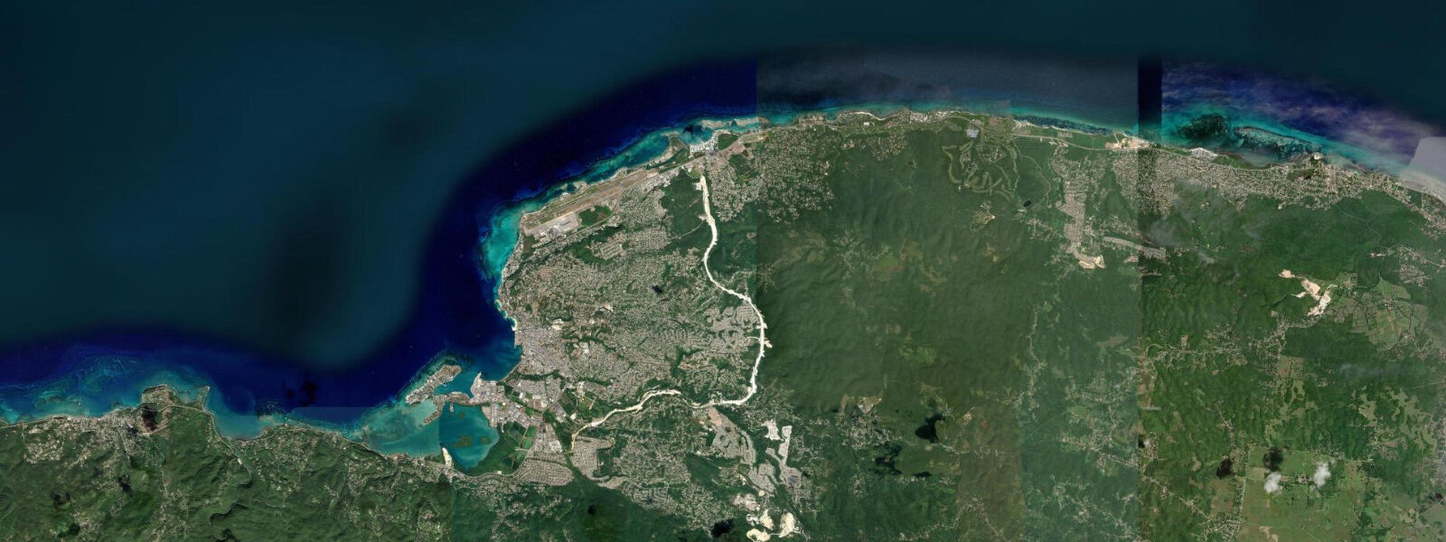
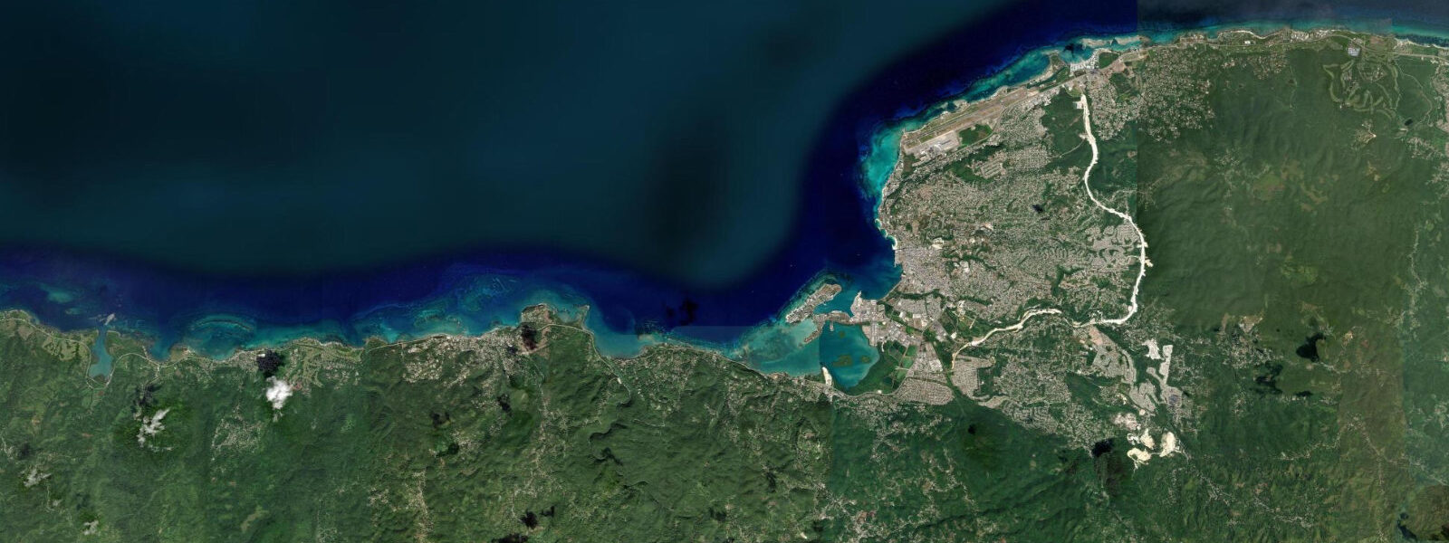
Rose Hall occupies a stretch of the north Jamaica coast between Montego Bay to the west and Falmouth to the east, about 10 km from the Sangster International Airport. The coastline here is low-lying, with the North Coast Highway running just inland and the coastal strip occupied by a sequence of all-inclusive resort properties — the Riu Palace Jamaica, Iberostar Rose Hall, Hilton Rose Hall — sharing roughly 4 km of beachfront between them. The beach is a continuous strip of white Caribbean sand facing north-northwest, with the open Caribbean directly offshore and no offshore reef in this section providing the protection that makes Montego Bay's inner beaches calmer.
The tidal regime at Rose Hall is mixed semidiurnal microtidal, identical in character to the rest of the NW Jamaica coast: mean spring range of 20 to 35 cm, with two unequal highs and two unequal lows each day. The differences in height between successive highs and lows are small; the beach condition changes very little across the tidal cycle, and beach users typically plan around swell and weather rather than the tide. JMet (Meteorological Service of Jamaica) is the national tidal and weather reference; predictions on this page come from Open-Meteo Marine, a gridded global ocean model, accurate to approximately ±45 min and ±0.2–0.3 m — which at this range can equal or exceed the total astronomical signal.
The Rose Hall Great House stands on the limestone ridge roughly 400 m inland from the coast highway, visible from the beach as a white two-storey colonial plantation house above the resort rooflines. Built around 1770 by John Palmer, it became the property of his grandson's wife, Annie Palmer, who according to Jamaican legend murdered three husbands on the property in the early 19th century. The house was abandoned and fell into ruin after emancipation, was restored as a tourist attraction in the 1960s, and now operates as the most-visited historic house in Jamaica. Night tours with torches and theatrical ghost-story elements are the primary commercial offering; day tours give access to the house's period furniture and the estate grounds. The great house has no direct connection to the coast or the tidal environment; it is inland.
For beach users at Rose Hall, the primary coastal activity is resort beach recreation: the hotel beach strips are equipped with loungers, water sports centres offering jet-ski rental and banana-boat rides, and beach bars. The north-facing exposure means the beach receives a consistent Caribbean sea breeze from the northeast in the afternoon. The beach slope is gentle, the water deepens gradually, and the small tidal range means the dry beach width changes by only a few metres between high and low on a spring tide. Morning low tides do expose additional firm wet sand, useful for beach walkers who prefer the firm surface over the loose dry sand above the high-tide line.
For snorkellers, the near-shore water at Rose Hall lacks the reef structure found at Montego Bay Marine Park; the bottom is primarily sand and sparse seagrass in depths of 1 to 3 m close to shore, with the occasional patch reef appearing further offshore. Dive operators from Montego Bay offer boat trips to the wall sites north of the Montego Bay airport reef, which is accessible by a 20-minute boat ride from the Rose Hall beach.
For shore anglers, the hotel jetties and the rocky sections at each end of the Rose Hall beach strip are the most productive casting platforms. Jack crevalle and snapper are the main targets from the jetties on the incoming tide in the early morning; barracuda cruise the near-shore sand bottom and are most active at dusk. The surf fishing conditions at Rose Hall depend more on Caribbean swell state than on tide, since the beach is exposed and the tidal range is too small to significantly change the wave breaking pattern.
The stretch of coast between Rose Hall and the Montego Bay airport reef to the west includes the Half Moon resort, which has its own beach club and a golf course whose final holes run along the coast. The Half Moon Bay beach, within the resort, has better offshore reef protection than the open Rose Hall strip, making it calmer in a moderate Caribbean swell.
Photographers at Rose Hall have the resort-beach Caribbean composition: palms at the sand edge, the turquoise water under the trade-wind sky, and the Great House visible on the hill behind. Sunrise from the beach looking northeast gives the most dramatic light, with the resort buildings as dark silhouettes against the incoming east light and the Caribbean glinting ahead.
Predictions on this page come from Open-Meteo Marine, a gridded global ocean model. Accuracy is typically ±45 min and ±0.2–0.3 m. At Rose Hall's 20 to 35 cm spring range, the model uncertainty can match or exceed the total signal. JMet is the authoritative Jamaican tidal and weather reference.
Tide questions about Rose Hall
Quick answers to the most common questions about tide times, range, and water access at Rose Hall.
When is the next high tide at Rose Hall?
The hero block at the top of this page shows the next predicted high at Rose Hall in local Eastern Standard Time (Jamaica observes EST year-round, UTC-5, with no daylight saving). The astronomical spring range on the NW Jamaica coast at Rose Hall is approximately 20 to 35 cm — genuinely microtidal. The Open-Meteo Marine gridded model's typical accuracy ceiling of ±45 min on timing and ±0.2 to 0.3 m on height can equal or exceed the total predicted tide at this location. For practical beach and water-activities planning at Rose Hall, the Caribbean sea state and swell forecast matter far more than the tide table. JMet (Meteorological Service of Jamaica) is the authoritative reference.
What is the Rose Hall Great House?
Rose Hall Great House is a Georgian plantation house built around 1770 by John Palmer on the limestone ridge above the coast highway, roughly 400 m inland from the beach resort strip. The house became notorious through the legend of Annie Palmer — John Palmer's granddaughter-in-law — who Jamaican oral tradition credits with murdering three husbands at the property in the early 19th century. The historical basis for the legend is disputed by scholars; the legend itself, popularised by Herbert de Lisser's 1929 novel The White Witch of Rosehall, made the property a major tourist destination. The house fell into ruin after emancipation and was restored in the 1960s. Day and night tours operate from the site; night tours include torchlight, theatrical staging, and the legend narrative. The property has no beach access; it is reached via the coast highway from the resort strip.
How does the Rose Hall beach compare to Doctor's Cave in Montego Bay?
Doctor's Cave Beach in Montego Bay is reef-protected and enclosed in a sheltered curve of the bay, producing calmer, clearer water and a more consistent beach environment. The Rose Hall strip is open-water Caribbean coast with no offshore reef in the immediate section, meaning Caribbean swell arrives more directly and the water is less consistently flat. On a calm Caribbean day the two locations are comparable; in a moderate NE swell event, Doctor's Cave stays calm while Rose Hall sees a more active wave face. The water at Doctor's Cave is typically clearer, partly because the reef community filters suspended material and the enclosed geometry reduces wind-driven sediment suspension. Rose Hall's beach is longer and less crowded per linear metre than Doctor's Cave, which has high visitor density as a managed beach club.
Where do these tide predictions come from?
Open-Meteo Marine, a free gridded global ocean model. The model estimates tidal height across a geographic grid rather than computing from harmonic analysis of a local Rose Hall gauge record. Accuracy is typically within ±45 minutes on timing and ±0.2 to 0.3 metres on height. At Rose Hall's spring range of 20 to 35 cm, the timing and height uncertainty of the gridded model each represent a substantial fraction of the total astronomical signal. For resort beach activities at Rose Hall — swimming, snorkelling, water sports — the Caribbean swell and wind forecast from JMet (Meteorological Service of Jamaica) is a more practically relevant input than the tide table.
Is this safe to use for navigation?
No. The north coast of Jamaica in the Rose Hall area has offshore shoals and the Half Moon Bay reef structure to the west that require current chart data for vessel navigation. For boat operations along this coast, use current Jamaican Hydrographic Office charts and JMet marine forecasts. The approaches to the hotel jetties and the Montego Bay airport reef zone require local chart knowledge. Open-Meteo Marine gridded predictions are not gauge-calibrated harmonic data and do not replace authoritative sources for navigation.
7-day tide table — Rose Hall
Heights relative to MSL. Predictions: Open-Meteo Marine (MeteoFrance SMOC, 0.08° grid) — heights relative to MSL (not chart datum / LAT). Model-derived.
| Day | Type | Time | Height |
|---|---|---|---|
| Sun 21 Jun | High | 07:00 | 0.6m |
| Low | 14:10 | 0.3m | |
| High | 21:00 | 0.6m | |
| Mon 22 Jun | Low | 15:10 | 0.3m |
| High | 21:50 | 0.6m | |
| Tue 23 Jun | Low | 04:00 | 0.5m |
| High | 22:50 | 0.6m | |
| Wed 24 Jun | Low | 05:00 | 0.4m |
| High | 23:50 | 0.6m | |
| Thu 25 Jun | Low | 06:00 | 0.5m |
| High | 10:00 | 0.5m | |
| Low | 17:00 | 0.3m | |
| Fri 26 Jun | High | 00:10 | 0.6m |
| Low | 17:50 | 0.3m | |
| Sat 27 Jun | High | 01:00 | 0.6m |
| Low | 18:00 | 0.3m | |
| High | 23:00 | 0.6m |