Montego Bay tide times
Montego Bay tide forecast — heights relative to MSL.
Today's tide times for Montego Bay
Tide times at Montego Bay on Sunday, 21 June 2026: first high tide at 07:00am, first low tide at 02:10pm, second high tide at 09:00pm. Sunrise 10:36am, sunset 11:50pm.
Tide chart for Montego Bay
24-hour cosine-interpolated curve around the present moment. Heights relative to MSL. Predictions: Predictions: Open-Meteo Marine (MeteoFrance SMOC, 0.08° grid).
Sun, moon and conditions on Sun 21 Jun
Snapshot at build time — refreshes daily. Sea state from Open-Meteo Marine.
Highs and lows next 7 days
Every predicted high and low for the next week, with the daily tidal coefficient (0–120; higher = bigger swing, > 95 means stronger currents).
Other spots nearby
The three closest curated TideTurtle locations to Montego Bay, measured by great-circle distance.
Today's solunar windows
Solunar tradition: major periods are the ≈3h windows around moon transit and opposition; minor are ≈2h around moonrise and moonset. Pair with the local tide stage and wind for the best read.
Cycle dates near Montego Bay
Last spring tide on Sun 21 Jun (range 0.2m). Next spring tide on Sat 27 Jun (range 0.3m). Next neap on Tue 23 Jun.
Spring tides cluster around new and full moons (biggest swings). Neap tides land on quarter moons (smallest swings). See the spring tide and neap tide glossary entries for the why.
About tides at Montego Bay
A short guide to the coastline at Montego Bay — geography, sea state, and what the tide is actually doing under your feet.
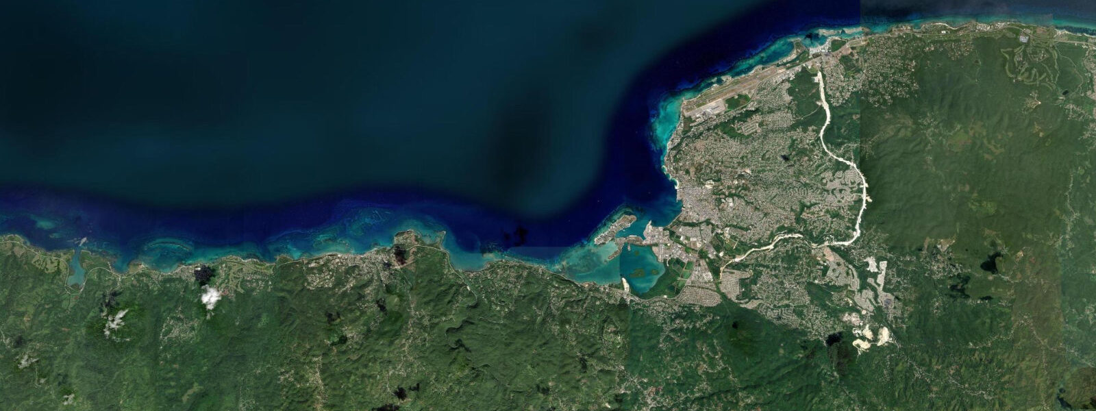
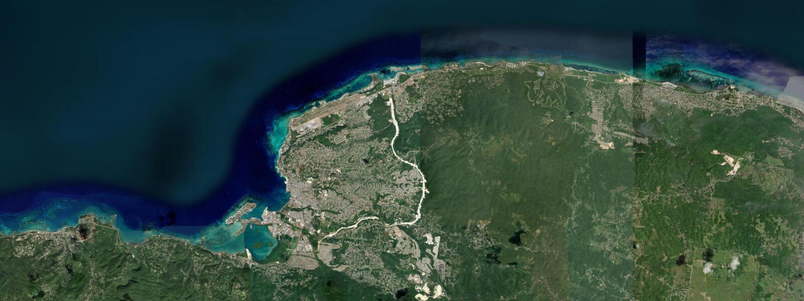
Montego Bay faces west across the Caribbean from Jamaica's northwest coast, sheltered from the dominant easterly trade-wind swell by the island's own mass and by the broad shallow bank that extends offshore. The bay is a wide curve of calm Caribbean water enclosed by the low point of Montego Bay Marine Park reef to the northwest and the headland at Bogue Point to the southwest, with the city climbing the limestone hills inland and the Hip Strip — Gloucester Avenue — running along the waterfront above the beach zone.
The tidal regime at Montego Bay is mixed semidiurnal microtidal, with a mean spring range of just 20 to 35 cm. This is the smallest tidal range of any region covered in this Caribbean content cluster. Two unequal highs and two unequal lows each day, but the differences in height between them are so small that casual beach users are unlikely to notice the change in water level across the tidal cycle. The water line on the beach moves a few metres between high and low on a spring tide, and on neap tides the change is negligible. Wind and swell — including the occasional large Caribbean system generated by tropical disturbances to the west or south — produce water-level changes that consistently exceed the astronomical tide. JMet (Meteorological Service of Jamaica) is the national weather and tidal reference; predictions on this page come from Open-Meteo Marine, a gridded global ocean model, accurate to approximately ±45 min and ±0.2–0.3 m, which at this location can exceed the total astronomical range.
Doctor's Cave Beach is the signature beach in Montego Bay: a small, pocket beach of white coral sand in a sheltered curve of the bay, operating as a private-access facility within the Montego Bay Marine Park. The beach faces west-southwest, the water is typically among the clearest in the bay, and the gentle slope and moderate depth make it suitable for swimmers across a wide ability range. The Montego Bay Marine Park (established 1990) encompasses the reef system from Doctor's Cave westward to the Bogue Lagoon, including the coral gardens accessible by snorkel from the beach. The reef is accessible at any tide state; visibility is typically best in the early morning before boat traffic and diver disturbance increases the sediment load.
For divers, Montego Bay's offshore reef drops from the snorkel-depth coral gardens to a wall starting at roughly 15 m on the seaward side of the reef crest. The wall runs from Rose Hall west past the airport and into the deeper water north of the bay. Dive operators based at Doctor's Cave and the Hip Strip hotels run boats to the wall sites and to the airport reef north of the runway. Dive conditions depend almost entirely on Caribbean sea state and visibility; the tidal range is so small that dive timing around the tide cycle is irrelevant here.
For shore anglers, the jetties and rocky points at the edges of the bay — the eastern arm at the mouth of the Montego River, the rocks at the western point past the Hip Strip, and the Bogue Lagoon edges — hold snapper, jack, and tarpon. The incoming tide in the early morning is the traditional window for jetty fishing in the bay; the pre-dawn to one hour after sunrise is the most consistent productive period for shore-cast targeting jack and snapper. The Bogue Lagoon, a mangrove-edged estuary accessible by small boat from the western bay, holds snook and tarpon that are most active on the flooding tide in the mangrove channels.
For beach-walkers and families, the beach strip running north from Doctor's Cave through Cornwall Beach to Walter Fletcher Beach gives about 1.5 km of accessible Caribbean waterfront within walking distance of the Hip Strip. The sand is white coral, the slope is gentle, and the water is calm in normal Caribbean weather. The small tidal range means beach conditions vary very little across the tidal cycle; what changes day to day is cloud cover and Caribbean swell state, not the water level.
Photographers at Montego Bay have the sunset over the Caribbean as the dominant opportunity — the west-facing bay orientation gives a clean western horizon with no land interruption from Doctor's Cave westward. The sunset light reaches its full colour range 15 to 25 minutes after the disc drops below the horizon, when the sky behind the offshore reef silhouette is typically the most saturated.
Predictions on this page come from Open-Meteo Marine, a gridded global ocean model. Accuracy is typically ±45 min and ±0.2–0.3 m. At Montego Bay's 20 to 35 cm spring range, the model's uncertainty in timing and height can exceed the full astronomical signal. JMet is the authoritative Jamaican tidal and weather reference.
Tide questions about Montego Bay
Quick answers to the most common questions about tide times, range, and water access at Montego Bay.
When is the next high tide at Montego Bay?
The hero block at the top of this page shows the next predicted high at Montego Bay in local Eastern Standard Time (Jamaica observes EST year-round, UTC-5; Jamaica does not observe daylight saving time, so there is no time-change adjustment). The astronomical spring range at Montego Bay is just 20 to 35 cm — the smallest of any region on this site's Caribbean coverage. At this range, the model's uncertainty (typically ±45 min, ±0.2 to 0.3 m) can exceed the total predicted tide. JMet (Meteorological Service of Jamaica) is the authoritative national weather and tidal reference.
Why is the tidal range so small at Montego Bay?
The Caribbean Sea is a semi-enclosed basin with limited ocean connections — primarily through the gaps between the island arcs of the Lesser Antilles and through the Yucatán Channel. The tidal energy that enters the Caribbean from the Atlantic is partly dissipated at these narrow openings and partly absorbed by the irregular geometry of the basin. At Jamaica, on the western side of the Caribbean basin, the result is a genuinely microtidal coast: mean spring range of just 20 to 35 cm on the north coast and slightly less on the south coast, where Jamaica's own bulk further shelters the shoreline. Wind and storm surge from passing tropical systems produce water-level changes several times larger than the astronomical tide during the June through November hurricane season.
What is the Montego Bay Marine Park and how does it affect visiting?
The Montego Bay Marine Park was established in 1990 as Jamaica's first marine protected area. It covers the reef system from the Bogue Lagoon in the west to the Ironshore reefs in the east, including the coral gardens accessible from Doctor's Cave Beach and the deeper reef wall offshore. Within the park, fishing, boat anchoring on the reef, and coral collection are prohibited. For snorkellers and divers, the park's protection means the reef community is in noticeably better condition than unprotected Jamaican reefs nearby. Doctor's Cave Beach operates within the park and collects an access fee. Dive operators in Montego Bay are required to hold Marine Park permits and briefing certifications for the wall sites.
Where do these tide predictions come from?
Open-Meteo Marine, a free gridded global ocean model. The model estimates tidal height across a geographic grid rather than computing from harmonic analysis of a local Montego Bay gauge. Accuracy is typically within ±45 minutes on timing and ±0.2 to 0.3 metres on height. At Montego Bay's spring range of 20 to 35 cm, the model's uncertainty on both timing and height can be a significant fraction of — or exceed — the total astronomical signal. For any activity where precise water level matters, weight JMet's (Meteorological Service of Jamaica) coastal and weather data over the gridded model predictions.
Is this safe to use for navigation?
No. The Montego Bay Marine Park reef system and the approaches to Montego Bay harbour, the cruise terminal, and the adjacent marinas require standard chart navigation. For vessel operations in Montego Bay waters, use current Jamaican Hydrographic Office charts and JMet marine forecasts. The reef line north of the airport and the shoal areas in Bogue Lagoon require current chart data. Open-Meteo Marine gridded predictions are not gauge-calibrated harmonic data and do not replace authoritative sources for navigation. The coral garden areas within the Marine Park carry anchoring prohibitions that apply regardless of tide state.
7-day tide table — Montego Bay
Heights relative to MSL. Predictions: Open-Meteo Marine (MeteoFrance SMOC, 0.08° grid) — heights relative to MSL (not chart datum / LAT). Model-derived.
| Day | Type | Time | Height |
|---|---|---|---|
| Sun 21 Jun | High | 07:00 | 0.6m |
| Low | 14:10 | 0.3m | |
| High | 21:00 | 0.6m | |
| Mon 22 Jun | Low | 15:10 | 0.3m |
| High | 21:50 | 0.6m | |
| Tue 23 Jun | Low | 04:00 | 0.5m |
| High | 22:50 | 0.6m | |
| Wed 24 Jun | Low | 05:00 | 0.4m |
| High | 23:50 | 0.6m | |
| Thu 25 Jun | Low | 06:00 | 0.5m |
| High | 10:00 | 0.5m | |
| Low | 17:00 | 0.3m | |
| Fri 26 Jun | High | 00:10 | 0.6m |
| Low | 17:50 | 0.3m | |
| Sat 27 Jun | High | 01:00 | 0.6m |
| Low | 18:00 | 0.3m | |
| High | 23:00 | 0.6m |