Falmouth tide times
Falmouth tide forecast — heights relative to MSL.
Today's tide times for Falmouth
Tide times at Falmouth on Sunday, 21 June 2026: first low tide at 01:00am, first high tide at 07:00am, second low tide at 02:00pm, second high tide at 08:50pm. Sunrise 10:35am, sunset 11:49pm.
Tide chart for Falmouth
24-hour cosine-interpolated curve around the present moment. Heights relative to MSL. Predictions: Predictions: Open-Meteo Marine (MeteoFrance SMOC, 0.08° grid).
Sun, moon and conditions on Sun 21 Jun
Snapshot at build time — refreshes daily. Sea state from Open-Meteo Marine.
Highs and lows next 7 days
Every predicted high and low for the next week, with the daily tidal coefficient (0–120; higher = bigger swing, > 95 means stronger currents).
Other spots nearby
The three closest curated TideTurtle locations to Falmouth, measured by great-circle distance.
Today's solunar windows
Solunar tradition: major periods are the ≈3h windows around moon transit and opposition; minor are ≈2h around moonrise and moonset. Pair with the local tide stage and wind for the best read.
About tides at Falmouth
A short guide to the coastline at Falmouth — geography, sea state, and what the tide is actually doing under your feet.
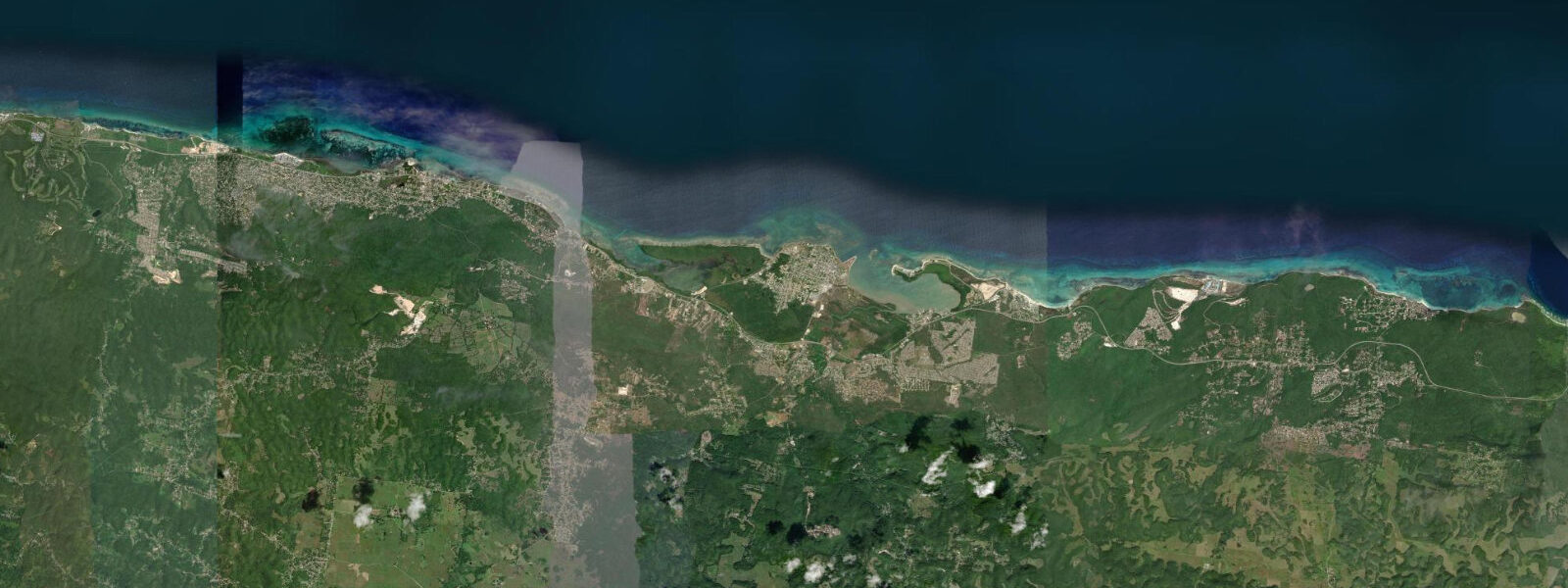
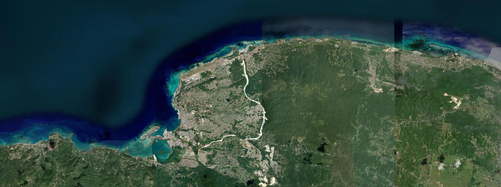
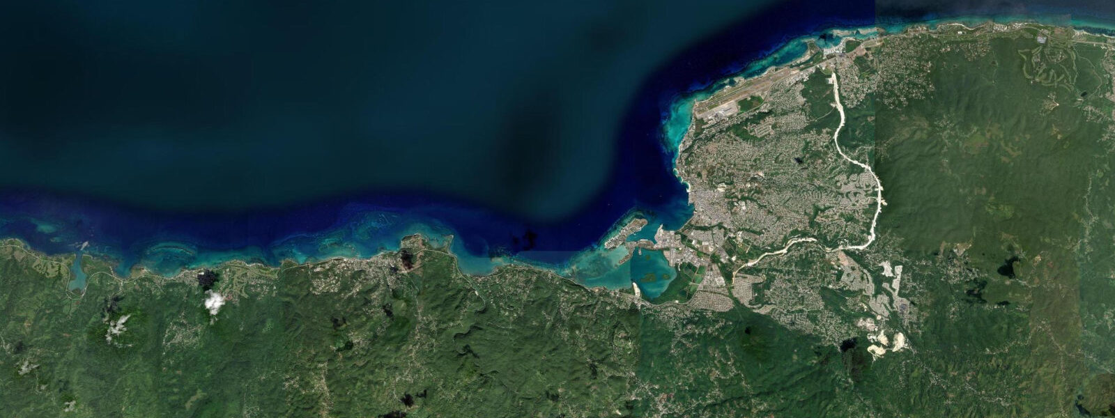
Falmouth sits roughly 35 km east of Montego Bay on the north Jamaica coast, on a sheltered harbour formed by a reef-enclosed bay at the mouth of the Martha Brae river. The town was laid out in 1769 and was, by the early 19th century, the wealthiest town in Jamaica — the commercial centre of the sugar-plantation economy in Trelawny Parish. The Georgian town plan and its original buildings survive in unusually complete form, making Falmouth the best-preserved Georgian town in the Caribbean and one of the most intact examples of late 18th-century British colonial urban planning anywhere in the hemisphere. The courthouse, the Water Square, the Anglican Church of St Peter, the Phoenix Foundry, and the grid of Georgian houses are all within walking distance of the waterfront.
The tidal regime at Falmouth is mixed semidiurnal microtidal, consistent with the NW Jamaica pattern: mean spring range of approximately 20 to 35 cm. Two unequal highs and two unequal lows each day, but the differences are small enough that the harbour level appears essentially constant across the tidal cycle to a casual observer. The bay is tightly reef-enclosed, which further dampens whatever small tidal signal the open coast receives. Small-craft access to the harbour is comfortable on any tide state. JMet (Meteorological Service of Jamaica) is the national tidal and weather reference; predictions on this page come from Open-Meteo Marine, a gridded global ocean model, accurate to approximately ±45 min and ±0.2–0.3 m — which, at this range, can approach or exceed the total astronomical signal.
Falmouth's harbour has been redeveloped as a cruise ship facility; the Falmouth Cruise Port, completed in 2011, was purpose-built to accommodate the largest cruise ships afloat and is one of the few cruise facilities in the Caribbean capable of handling Oasis-class ships at the pier. On cruise-ship days the population of the small town (roughly 8,000 permanent residents) effectively doubles or triples for a few hours. The Georgian town centre is a 10-minute walk from the cruise pier; most of the historic buildings are accessible on foot.
The Luminous Lagoon (Glistening Waters) is located roughly 2 km west of Falmouth town, at the mouth of the Rock River and the Ferry River estuary on the western edge of the harbour bay. The lagoon glows vivid blue-green when the water is disturbed at night — the bioluminescence is produced by Pyrodinium bahamense, a marine dinoflagellate that emits light when physically agitated. The density of the dinoflagellate population in the Luminous Lagoon is among the highest ever recorded for a marine environment; the glow is bright enough to read by close to the boat and to photograph with moderate exposure settings. The lagoon is best visited on moonless nights (around new moon) when there is no competing ambient light; on nights with a full moon the bioluminescence is still present but less visually distinct against the lunar illumination of the water surface. The tide state does not meaningfully affect the bioluminescence — it is a function of dinoflagellate population density and water temperature, not tidal mixing. Boat tours depart from the Glistening Waters Marina.
For shore anglers, the Martha Brae river mouth and the lagoon edges hold tarpon on the flooding tide, particularly in the early evening as light levels drop. The tarpon run into the lagoon on the incoming tide and hold near the surface in the brackish estuary mix. Anglers targeting tarpon from the Glistening Waters dock and the river mouth area use live mullet and bait-cast presentations.
For paddlers, the Luminous Lagoon and the Martha Brae River above the lagoon offer flat-water kayaking in the calm, brackish estuary environment. The river is navigable by kayak for several kilometres above the tidal limit, winding through a mix of agricultural land and riverine vegetation. A kayak tour at dusk that transitions into the bioluminescent lagoon at night is an established activity offered by several operators at Glistening Waters Marina.
For history walkers, the Georgian town is best experienced in the early morning before the cruise-ship visitor influx. The courthouse (1815) on Water Square, the oldest cast-iron water wheel in the western hemisphere at the Falmouth market site, and the Albert George Market buildings from the 1800s are all accessible on foot.
Predictions on this page come from Open-Meteo Marine, a gridded global ocean model. Accuracy is typically ±45 min and ±0.2–0.3 m. JMet is the authoritative Jamaican tidal and weather reference.
Tide questions about Falmouth
Quick answers to the most common questions about tide times, range, and water access at Falmouth.
When is the next high tide at Falmouth?
The hero block at the top of this page shows the next predicted high at Falmouth in local Eastern Standard Time (Jamaica observes EST year-round, UTC-5, with no daylight saving). The astronomical spring range is approximately 20 to 35 cm — effectively microtidal, with the harbour level changing little across the tidal cycle. Open-Meteo Marine gridded predictions at this range carry uncertainty that can approach or exceed the total astronomical signal. JMet (Meteorological Service of Jamaica) is the authoritative national tidal and weather reference.
How does the Luminous Lagoon bioluminescence work?
The bioluminescence in the Luminous Lagoon (Glistening Waters) is produced by Pyrodinium bahamense, a single-celled marine dinoflagellate that emits blue-green light when physically disturbed — a wave, a paddle stroke, a hand dragged through the water. The organism's light-producing reaction involves a protein (luciferin) that oxidises when the cell is agitated, releasing photons. The Falmouth lagoon supports one of the highest recorded population densities of this organism in any marine environment; the combination of the brackish estuary chemistry (a mix of freshwater from the Martha Brae and Rock rivers and seawater from the bay), the warm temperature, and the protected shallow geometry creates ideal conditions. The bioluminescence is present year-round but is most visually striking on moonless nights. Tide state does not affect it.
What is the best way to see the Georgian town at Falmouth?
The Falmouth historic district is walkable in under two hours from the cruise pier, with the key buildings clustered around Water Square and the surrounding blocks. The best time to visit is early morning on non-cruise-ship days, when the streets are quiet and the morning light falls on the facades from the east. The Falmouth Heritage Renewal guide (available from the Jamaica National Heritage Trust) maps the main buildings and is the most reliable reference for dates and histories. The Falmouth courthouse (1815) and the Phoenix Foundry are the architectural highlights; the old Falmouth wharf, where slave ships once docked, is a UNESCO Slave Route Project–documented site a short walk from the courthouse.
Where do these tide predictions come from?
Open-Meteo Marine, a free gridded global ocean model. The model estimates tidal height across a geographic grid rather than computing from harmonic analysis of a local Falmouth gauge. Accuracy is typically within ±45 minutes on timing and ±0.2 to 0.3 metres on height. At Falmouth's spring range of 20 to 35 cm, the model's uncertainty in both timing and height approaches or exceeds the total astronomical signal. For the Luminous Lagoon tours, the Martha Brae river kayaking, and small-craft harbour access, the tidal range is small enough that no tide-timing planning is practically necessary. JMet (Meteorological Service of Jamaica) is the authoritative national reference.
Is this safe to use for navigation?
No. The Falmouth Cruise Port approaches and the reef-enclosed harbour have navigational hazards requiring current chart data. For vessel operations at Falmouth, use current Jamaican Hydrographic Office charts and JMet marine forecasts. The reef structure north of the harbour and the Martha Brae river bar at the entrance to the Luminous Lagoon are the primary hazards for small craft; the river bar shifts after heavy-rain events and requires a local depth check before entry. Open-Meteo Marine gridded predictions are not gauge-calibrated harmonic data and do not replace authoritative sources for navigation.
7-day tide table — Falmouth
Heights relative to MSL. Predictions: Open-Meteo Marine (MeteoFrance SMOC, 0.08° grid) — heights relative to MSL (not chart datum / LAT). Model-derived.
| Day | Type | Time | Height |
|---|---|---|---|
| Sun 21 Jun | Low | 01:00 | 0.4m |
| High | 07:00 | 0.6m | |
| Low | 14:00 | 0.3m | |
| High | 20:50 | 0.6m | |
| Mon 22 Jun | — | ||
| Tue 23 Jun | — | ||
| Wed 24 Jun | Low | 16:10 | 0.3m |
| Thu 25 Jun | — | ||
| Fri 26 Jun | — | ||
| Sat 27 Jun | High | 00:50 | 0.6m |
| Low | 18:00 | 0.3m | |
| High | 23:00 | 0.6m | |