Treasure Beach, Jamaica tide times
Treasure Beach, Jamaica tide forecast — heights relative to MSL.
Today's tide times for Treasure Beach, Jamaica
Tide times at Treasure Beach, Jamaica on Saturday, 4 July 2026: first low tide at 12:00pm. Sunrise 10:40am, sunset 11:50pm.
Tide chart for Treasure Beach, Jamaica
24-hour cosine-interpolated curve around the present moment. Heights relative to MSL. Predictions: Predictions: Open-Meteo Marine (MeteoFrance SMOC, 0.08° grid).
Sun, moon and conditions on Sat 04 Jul
Snapshot at build time — refreshes daily. Sea state from Open-Meteo Marine.
Highs and lows next 7 days
Every predicted high and low for the next week, with the daily tidal coefficient (0–120; higher = bigger swing, > 95 means stronger currents).
Other spots nearby
The three closest curated TideTurtle locations to Treasure Beach, Jamaica, measured by great-circle distance.
Today's solunar windows
Solunar tradition: major periods are the ≈3h windows around moon transit and opposition; minor are ≈2h around moonrise and moonset. Pair with the local tide stage and wind for the best read.
About tides at Treasure Beach, Jamaica
A short guide to the coastline at Treasure Beach, Jamaica — geography, sea state, and what the tide is actually doing under your feet.
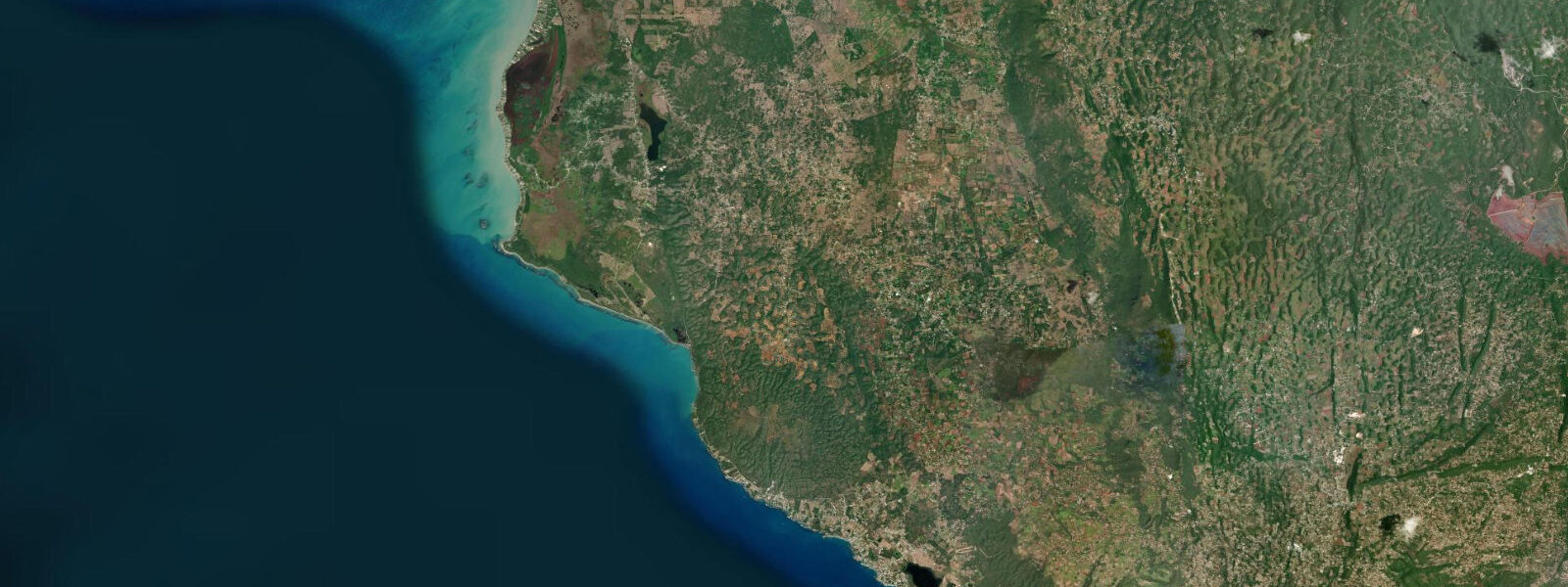
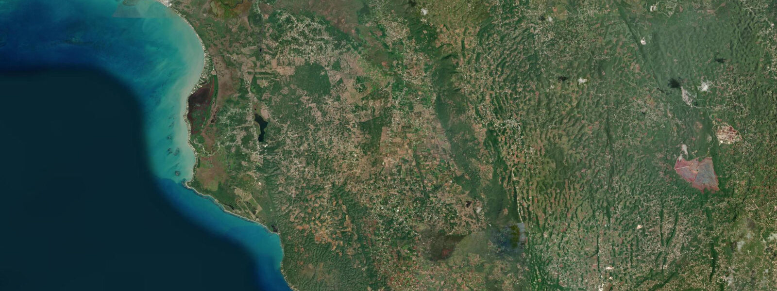
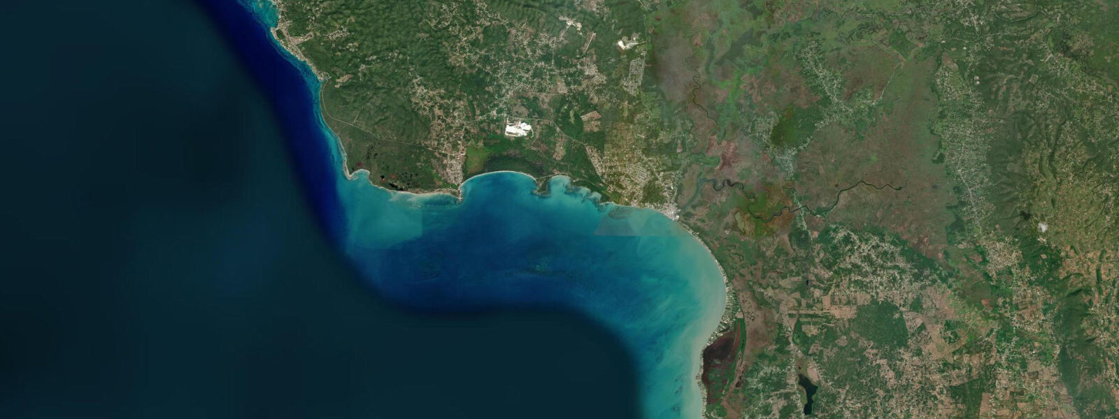
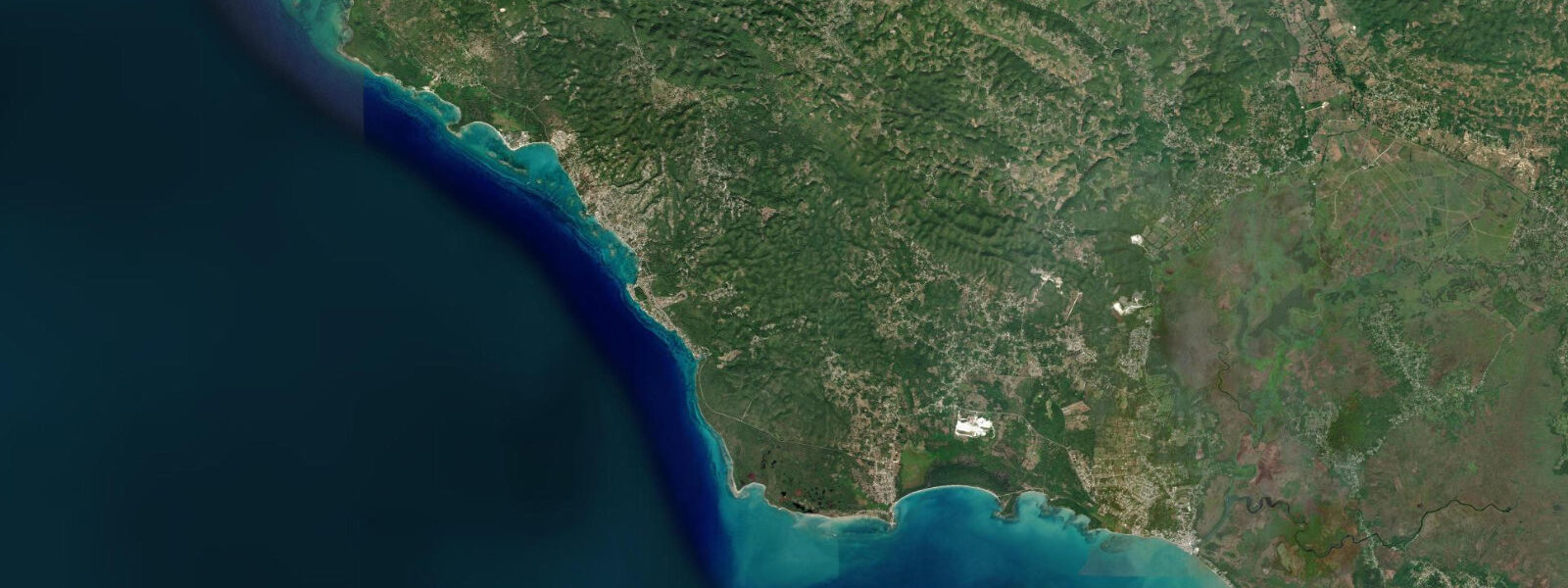
Treasure Beach is not a single beach but four connected bays along the south Jamaica coast of St. Elizabeth Parish — Calabash Bay, Frenchman's Bay, Billy's Bay, and Great Bay — separated by low rocky headlands and joined by a road that runs along the low cliff above the shore. The south Jamaica coast is drier than the north, backed by savannah and the Santa Cruz Mountains rather than the tropical forest that defines Portland Parish; the light here is more direct and the landscape more open.
The coast faces the Caribbean Sea to the south, and the swell regime is governed by Atlantic energy wrapping around Jamaica's western tip rather than arriving directly — the result is a moderate-to-calm shoreline on most days, with the occasional swell pulse from a distant southern hemisphere or Gulf of Mexico storm. The tourism model at Treasure Beach is distinctly different from the north coast. There are no all-inclusive resorts; the accommodation is almost entirely small guesthouses, villas, and the Jake's Hotel complex at Calabash Bay, which has been running a boutique community-tourism operation since the 1990s.
The Jake's Off-Road Triathlon, held annually in January, brings a specific adventure-sports crowd. The fishing is real: the boats at Frenchman's Bay and Billy's Bay go out before dawn for kingfish, wahoo, and dolphinfish (mahi-mahi), and the catch comes back to the bay in the morning for sale direct from the boats. Calabash Bay is the calmest of the four bays, sheltered by the natural curve of the headland to the southwest; the snorkelling on the fringing reef at the headland runs from 2 to 8 metres depth and holds healthy coral coverage for south Jamaica.
Frenchman's Bay to the east has more swell exposure and the fishing boats work from a steep shingle ramp directly off the beach. Great Bay, the furthest east of the four, is the most remote and least visited, accessible by a rough track; the beach here is wide and natural, with no facilities. 6 metres.
5 metres — snorkellers plan for the rising tide from the half-tide mark to avoid the shallowest coral heads. Shore anglers fish the evening flood at the rocky headlands between the bays, targeting the snapper that move onto the reef on the incoming water. 3 metres on height.
Tide questions about Treasure Beach, Jamaica
Quick answers to the most common questions about tide times, range, and water access at Treasure Beach, Jamaica.
What makes Treasure Beach different from the north coast resorts?
Treasure Beach has no all-inclusive resorts and no hotel strip. The accommodation is guesthouses, small villas, and the Jake's Hotel compound at Calabash Bay, all independently operated. The fishing community at Frenchman's Bay and Billy's Bay is working, not decorative — boats go out before dawn and return with actual catch sold direct from the boats. The south coast dryness and the savannah landscape behind the coast produce a different visual character from the tropical lushness of the north coast. The Jake's Off-Road Triathlon in January and the Calabash Literature Festival (irregular) are the main events on the cultural calendar.
Which is the best bay at Treasure Beach for swimming?
Calabash Bay is the calmest of the four bays, sheltered by the headland to the southwest and with the gentlest entry for swimming. The sand slope is gradual and the wave energy is low on most days. The fringing reef at the southern headland provides snorkelling at 2 to 8 metres depth accessible by swimming from the beach; plan to snorkel on the rising tide from half-tide to avoid the shallowest sections. Frenchman's Bay has more swell exposure on larger days; Great Bay is wide and natural but the least sheltered of the four.
What is the tide range at Treasure Beach?
Caribbean mixed semidiurnal, spring range roughly 0.4 to 0.6 metres. The spring low exposes 20 to 25 metres of additional dry sand at Calabash Bay and shallows the fringing reef significantly. Two unequal highs and two unequal lows each day. The south coast Caribbean regime means the astronomical tide is the dominant water-level signal here; the Atlantic swell energy is lower than the north coast and storm surge is the main exception.
Where do the tide predictions for Treasure Beach come from?
Open-Meteo Marine, a free gridded global ocean model. Accuracy is typically within plus or minus 45 minutes on timing and 0.2 to 0.3 metres on height. For Jamaica, the Jamaica Meteorological Service publishes weather and marine forecasts. The nearest authoritative tide gauge reference is Kingston Harbour, approximately 110 km to the east on the same south coast; the tidal phase at Treasure Beach runs roughly 1 to 2 hours earlier than Kingston on the same mixed semidiurnal cycle.
Is this safe to use for navigation?
No. The south Jamaica coast at Treasure Beach involves fringing reef, rocky headlands, and fishing boat traffic in the inshore zone. For vessel navigation, use the Caribbean charts from the Caribbean Hydrographic Institute and consult the Jamaica Maritime Authority. Open-Meteo Marine gridded predictions are not authoritative navigational data.
7-day tide table — Treasure Beach, Jamaica
Heights relative to MSL. Predictions: Open-Meteo Marine (MeteoFrance SMOC, 0.08° grid) — heights relative to MSL (not chart datum / LAT). Model-derived.
| Day | Type | Time | Height |
|---|---|---|---|
| Sat 04 Jul | Low | 12:00 | 0.5m |
| Sun 05 Jul | High | 05:10 | 0.7m |
| Mon 06 Jul | — | ||
| Tue 07 Jul | — | ||
| Wed 08 Jul | Low | 14:10 | 0.4m |
| High | 22:10 | 0.7m | |
| Thu 09 Jul | Low | 15:10 | 0.4m |
| High | 23:10 | 0.7m | |
| Fri 10 Jul | Low | 06:00 | 0.5m |
| High | 09:00 | 0.6m | |
| Low | 16:10 | 0.4m | |
| High | 23:00 | 0.7m | |