Port Royal, Jamaica tide times
Port Royal, Jamaica tide forecast — heights relative to MSL.
Today's tide times for Port Royal, Jamaica
Tide times at Port Royal, Jamaica on Saturday, 4 July 2026: first low tide at 12:00am. Sunrise 10:36am, sunset 11:46pm.
Tide chart for Port Royal, Jamaica
24-hour cosine-interpolated curve around the present moment. Heights relative to MSL. Predictions: Predictions: Open-Meteo Marine (MeteoFrance SMOC, 0.08° grid).
Sun, moon and conditions on Sat 04 Jul
Snapshot at build time — refreshes daily. Sea state from Open-Meteo Marine.
Highs and lows next 7 days
Every predicted high and low for the next week, with the daily tidal coefficient (0–120; higher = bigger swing, > 95 means stronger currents).
Other spots nearby
The three closest curated TideTurtle locations to Port Royal, Jamaica, measured by great-circle distance.
Today's solunar windows
Solunar tradition: major periods are the ≈3h windows around moon transit and opposition; minor are ≈2h around moonrise and moonset. Pair with the local tide stage and wind for the best read.
About tides at Port Royal, Jamaica
A short guide to the coastline at Port Royal, Jamaica — geography, sea state, and what the tide is actually doing under your feet.
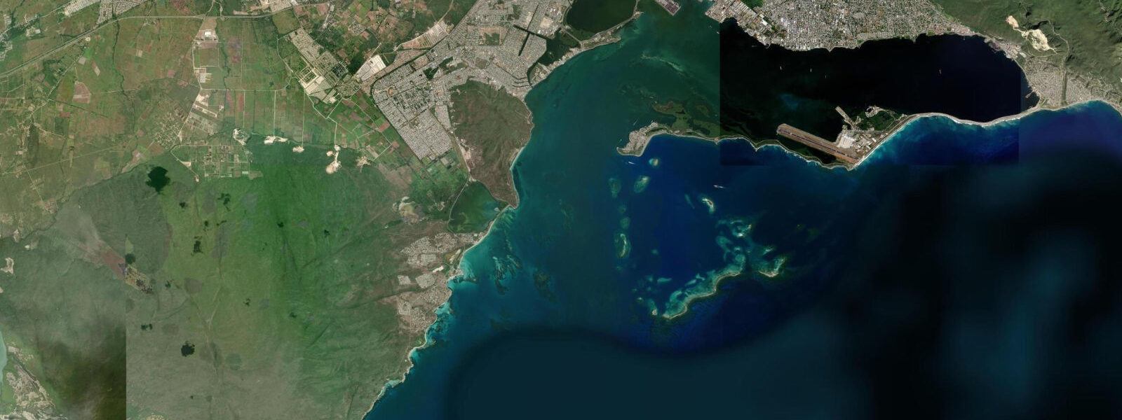
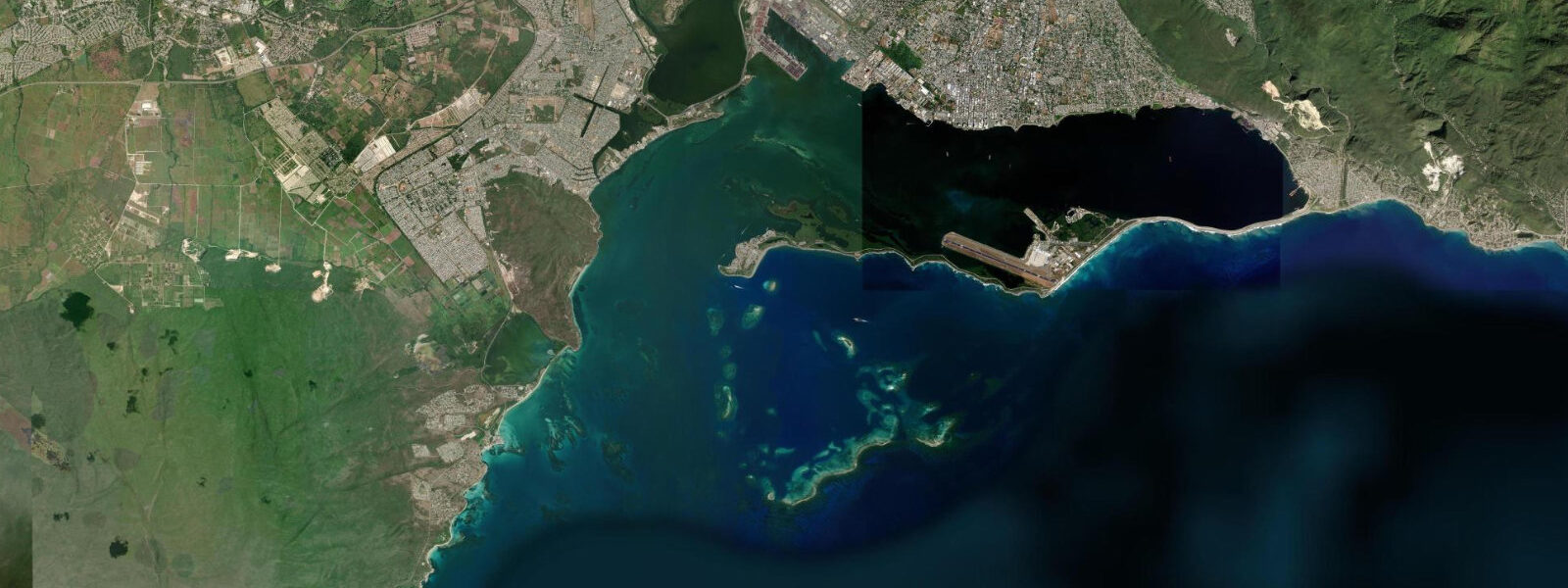
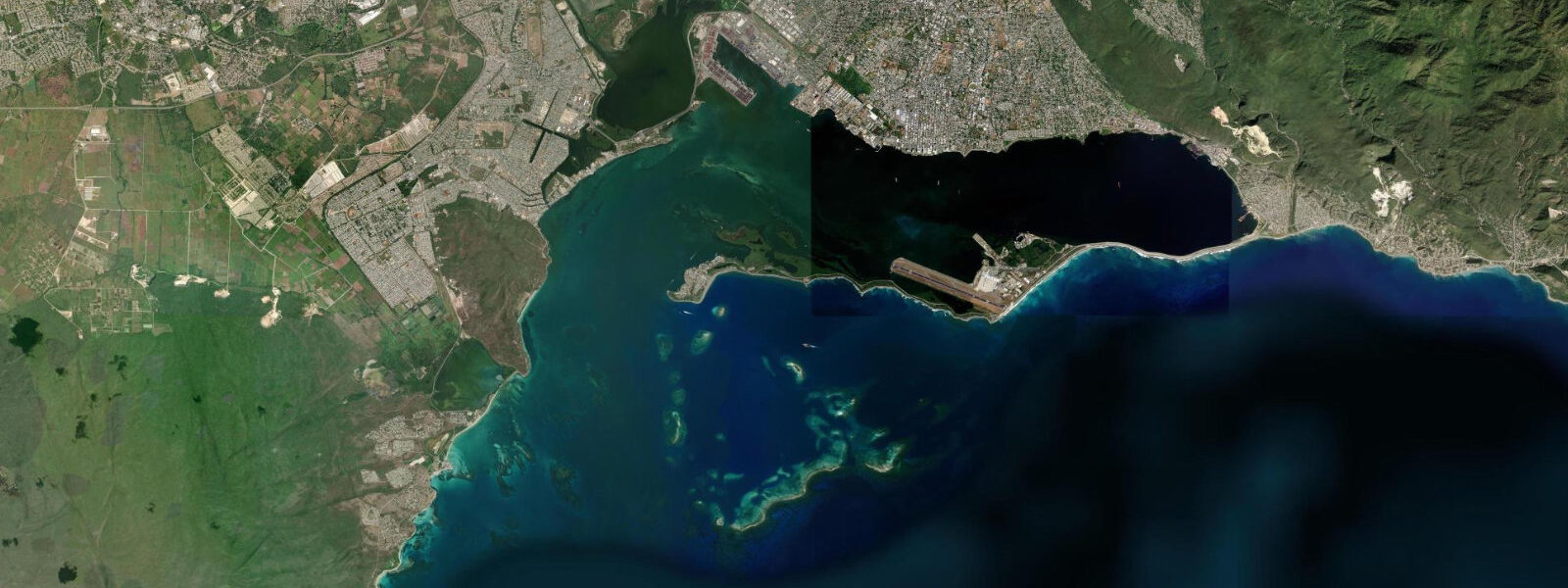
Port Royal sits at the tip of the Palisadoes, the narrow tombolo that encloses Kingston Harbour from the south. In the second half of the seventeenth century it was the most important English port city in the Caribbean, the wealthiest city in the Americas by some accounts — a place built on the privateering trade, the sugar economy, and the concentration of merchant shipping passing through the western Caribbean. The 1692 earthquake, one of the most destructive seismic events in Caribbean history, dropped an estimated two-thirds of the town into Kingston Harbour in approximately two minutes. The submerged ruins — buildings, streets, and artefacts — lie in 6 to 9 metres of water directly off the current waterfront and are legally protected as an archaeological site under Jamaica's National Heritage Trust.
The tidal regime at Port Royal is Caribbean mixed semidiurnal, microtidal: spring range typically 0.5 to 0.7 metres inside the sheltered harbour. The Palisadoes barrier to the south blocks the open Caribbean swell; the water inside Kingston Harbour is generally flat, with tidal current running through the narrow harbour entrance between Port Royal and the southern tip of the airport runway. The entrance current peaks at spring tide and is relevant to small craft navigating the harbour mouth.
Above water, Port Royal is a small fishing community of approximately 1,200 people with a working fishing beach, a historic fort (Fort Charles, still standing), the tilted Giddy House (an artillery store whose foundation shifted in the 1692 earthquake, now permanently canted at an angle), the Naval Hospital ruins, and water taxi service to the Kingston waterfront. Fort Charles is one of the oldest English military structures in the Western Hemisphere; the parapet walk has views across the harbour entrance and toward the Blue Mountains. The fortifications were substantially rebuilt after the 1692 earthquake and continued in use into the twentieth century.
Fishing from the Port Royal beach and the pier is a daily activity. The harbour entrance, where the tidal current concentrates bait, is productive for snapper and jacks on the incoming flood; dawn and dusk are the primary windows. The water taxis to Kingston run from the main pier throughout the day and provide a practical way to approach the Kingston waterfront from the south, particularly to avoid the road traffic on the Palisadoes highway.
The archaeological dive sites at the submerged 1692 town are accessible to licensed dive operators with permits from the National Heritage Trust; recreational dives to the site require going through an authorised operator. The visibility in the harbour is variable — harbour conditions are different from open Caribbean — and the site is a genuinely significant historical location that warrants the care the permitting system requires.
For photography, the view from the Palisadoes road approaching Port Royal — the causeway with the harbour to the north and the open Caribbean to the south — gives a sense of the geographic position that made the original port strategically valuable. The Norman Manley International Airport runway runs along the same narrow strip; the aircraft approach is over the harbour, low and close.
Tide predictions for Port Royal come from Open-Meteo Marine, a global gridded ocean model. Accuracy is typically within plus or minus 45 minutes on timing and 0.2 to 0.3 metres on height.
The historical record of Port Royal's pre-1692 character is unusually detailed for a seventeenth-century Caribbean town. Contemporary accounts, port records, and the subsequent archaeological excavation of the submerged town have produced a picture of a city with 2,000 buildings, hundreds of taverns, and a concentration of wealth disproportionate to its size. Henry Morgan, the Welsh privateer who became Jamaica's Lieutenant Governor, was one of the more prominent residents. The earthquake that destroyed it was treated by some contemporaries as divine judgment; the immediate rebuilding of the town suggests the inhabitants took a more practical view.
Tide questions about Port Royal, Jamaica
Quick answers to the most common questions about tide times, range, and water access at Port Royal, Jamaica.
What happened to Port Royal in 1692?
On 7 June 1692, a magnitude 7.5 earthquake struck Jamaica. The ground beneath Port Royal — built on reclaimed sand and gravel fill — liquefied, and approximately two-thirds of the town slid into Kingston Harbour in under two minutes. Contemporary accounts record buildings, streets, and people dropping into the water as the ground gave way. Roughly 2,000 people died in the earthquake itself and the tsunami that followed; a further 3,000 died of disease in the weeks after. The submerged town, lying in 6 to 9 metres of water, is one of the most intact archaeological sites of a seventeenth-century English colonial settlement anywhere in the world. The National Heritage Trust of Jamaica manages and protects the site.
What is the tide range at Port Royal?
Inside Kingston Harbour, mixed semidiurnal, spring range 0.5 to 0.7 metres. The Palisadoes barrier blocks open Caribbean swell, and the harbour is generally calm across the tidal cycle. The current at the harbour entrance between Port Royal and the airport runway tip runs with the tide; it peaks at spring tides and is the most relevant tidal variable for small craft navigating the mouth. Tide predictions come from Open-Meteo Marine — accuracy within plus or minus 45 minutes on timing and 0.2 to 0.3 metres on height.
Can I dive on the 1692 earthquake ruins?
Yes, with proper authorisation. The submerged ruins of the pre-1692 town are a protected archaeological site under the National Heritage Trust of Jamaica. Recreational dives require going through a licensed operator who holds an NHT permit for the site. The site is in 6 to 9 metres of water off the current Port Royal waterfront. Harbour visibility is variable and different from open Caribbean conditions; expect 3 to 8 metres visibility depending on recent weather and harbour traffic. The remnants visible on the dive include building foundations, artefacts in situ, and the general stratigraphy of the collapsed town. Do not remove anything.
How do I get to Port Royal from Kingston?
Two options: road or water taxi. By road, the Palisadoes highway runs the full length of the tombolo from the Norman Manley Airport junction to Port Royal — approximately 20 kilometres from downtown Kingston, 30 to 45 minutes in normal traffic. Water taxis run from the Victoria Pier on Kingston waterfront to Port Royal pier throughout the day, taking approximately 20 minutes; this avoids the Palisadoes road entirely and gives a view of the harbour from the water. The water taxi service is the more convenient option for a day visit without a car.
What is the Giddy House at Port Royal?
The Giddy House is a surviving colonial artillery store from the Royal Artillery complex at Port Royal, built in the late nineteenth century. After the 1907 Kingston earthquake — a separate seismic event from 1692 — the building's foundation shifted, tilting the entire structure at a permanent angle of approximately 45 degrees. The tilt is severe enough that standing on the tilted floor creates a strong disorientation effect — hence the name. The structure is intact and is one of the more photographed curiosities at Port Royal. It is accessible as part of the Fort Charles historic site complex, which charges a small entrance fee.
7-day tide table — Port Royal, Jamaica
Heights relative to MSL. Predictions: Open-Meteo Marine (MeteoFrance SMOC, 0.08° grid) — heights relative to MSL (not chart datum / LAT). Model-derived.
| Day | Type | Time | Height |
|---|---|---|---|
| Sat 04 Jul | Low | 00:00 | 0.5m |
| Sun 05 Jul | High | 05:00 | 0.6m |
| Mon 06 Jul | — | ||
| Tue 07 Jul | Low | 14:00 | 0.4m |
| Wed 08 Jul | High | 06:00 | 0.5m |
| Low | 14:00 | 0.4m | |
| Thu 09 Jul | — | ||
| Fri 10 Jul | High | 23:00 | 0.7m |