Trapani, Sicily tide times
Trapani, Sicily tide forecast — heights relative to MSL.
Today's tide times for Trapani, Sicily
Tide times at Trapani, Sicily on Friday, 19 June 2026: first high tide at 02:00, first low tide at 18:00. Sunrise 05:46, sunset 20:35.
Tide chart for Trapani, Sicily
24-hour cosine-interpolated curve around the present moment. Heights relative to MSL. Predictions: Predictions: Open-Meteo Marine (MeteoFrance SMOC, 0.08° grid).
Sun, moon and conditions on Fri 19 Jun
Snapshot at build time — refreshes daily. Sea state from Open-Meteo Marine.
Highs and lows next 7 days
Every predicted high and low for the next week, with the daily tidal coefficient (0–120; higher = bigger swing, > 95 means stronger currents).
Other spots nearby
The three closest curated TideTurtle locations to Trapani, Sicily, measured by great-circle distance.
Today's solunar windows
Solunar tradition: major periods are the ≈3h windows around moon transit and opposition; minor are ≈2h around moonrise and moonset. Pair with the local tide stage and wind for the best read.
Cycle dates near Trapani, Sicily
Last spring tide on Fri 19 Jun (range 0.3m). Next neap on Tue 23 Jun.
Spring tides cluster around new and full moons (biggest swings). Neap tides land on quarter moons (smallest swings). See the spring tide and neap tide glossary entries for the why.
About tides at Trapani, Sicily
A short guide to the coastline at Trapani, Sicily — geography, sea state, and what the tide is actually doing under your feet.
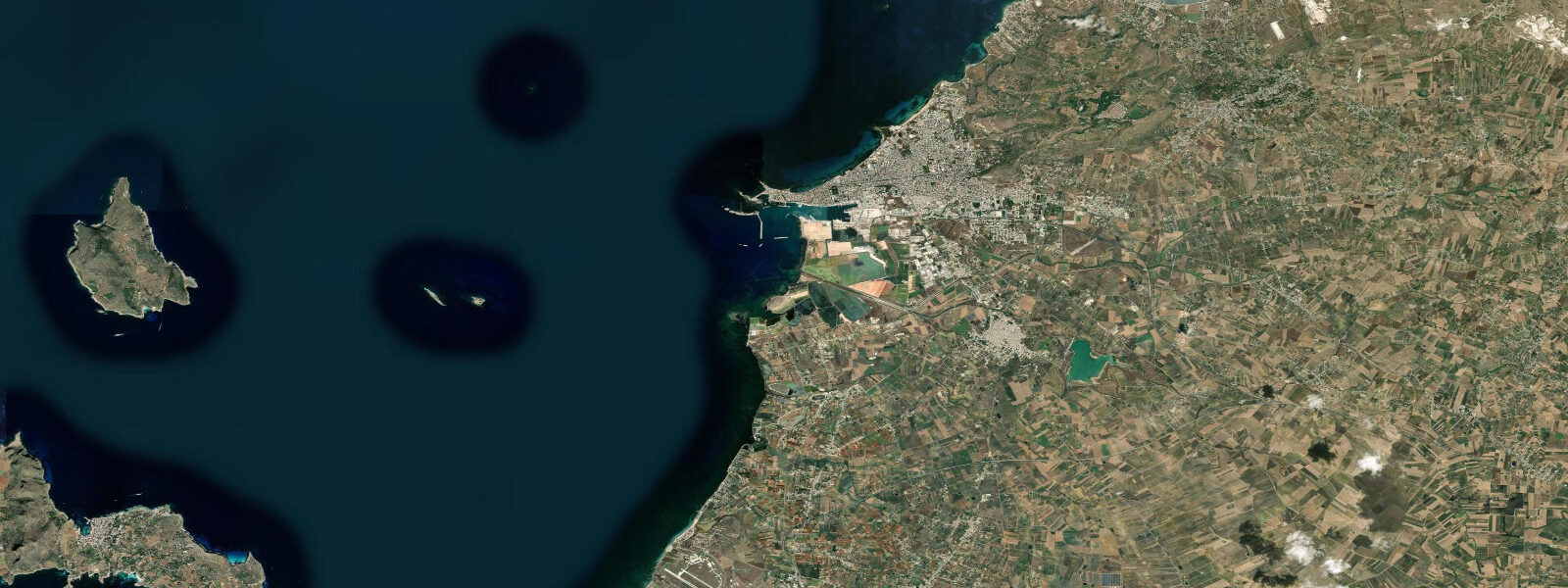
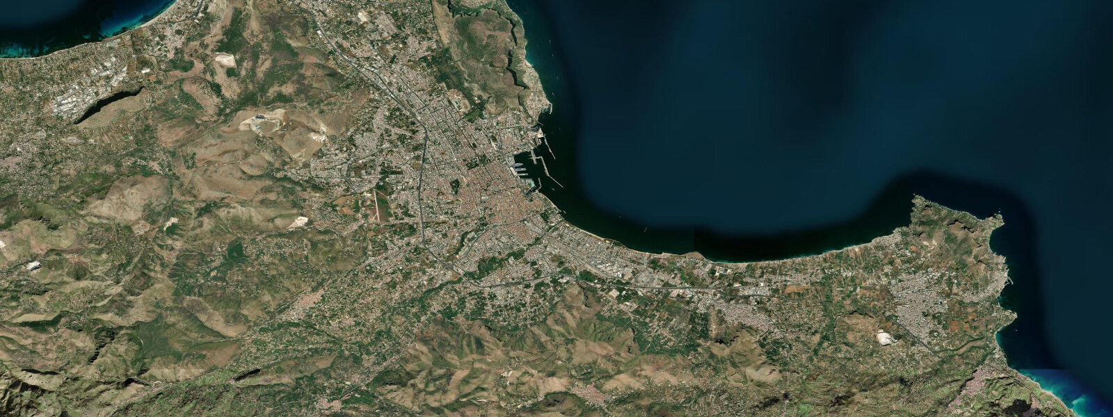
Trapani occupies a narrow sickle of land that curves northwest into the Sicilian Channel, pointing toward Tunisia 150 km across the water. The spit is low and flat, mostly below 5 m elevation, which means the sea is visible on both sides from almost anywhere in the old town. The Egadi Islands — Favignana, Levanzo, and Marettimo — sit 15–20 km offshore to the northwest, close enough that their ridgelines are a constant presence on the horizon. The channel between Trapani and Favignana carries ferry traffic, fishing boats, and in summer a steady stream of dive boats heading for the island reefs.
The tidal regime in the Sicilian Channel is microtidal, with a mean range of 0.15–0.25 m. Tides are mixed semidiurnal — two cycles per day, the two highs and two lows of unequal height. The small range means the sea surface here shifts by less than 25 cm through the cycle, which is imperceptible to the eye against the background of wind-driven ripple. Wind and barometric pressure drive far more variation in sea level than the tide does. A sustained westerly from the Sicilian Channel — the libeccio — can push 0.3–0.4 m of additional water against the eastern shore of the spit, temporarily flooding the low quayside at the ferry terminal. That said, the tidal signal is real and consequential in one specific context: the salt flats.
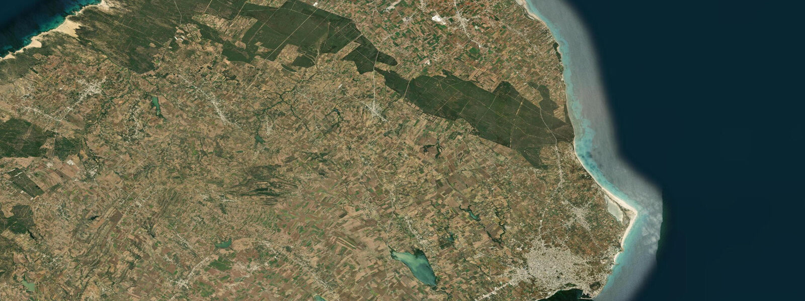
The Saline di Trapani e Paceco extend south of the city in a series of shallow rectangular pans separated by clay bunds and serviced by an system of windmill-driven sluices. The salt pans have been in continuous operation since the medieval period — the windmills that dot the flat horizon between Trapani and Marsala are the same mechanism that has moved water between pans at different elevations for centuries, concentrating brine by sequential evaporation. At high water, tidal inflow through the main channel gates allows seawater to enter the primary pans. On the falling tide, the windmills pump water through the sluice sequence from lower-salinity pans toward higher-salinity concentration pans closer to the harvest basins. The average windmill here pumps 20–25 cubic metres per hour; in a gentle westerly, which is the preferred condition, a single mill can service several pans over a tidal cycle.
The salt flats are also a nature reserve managed by the WWF Italia, and the microtidal flooding regime creates the shallow, hypersaline habitat that supports flamingo colonies. Greater flamingos (Phoenicopterus roseus) are present year-round, with numbers peaking in autumn and winter when birds arrive from breeding grounds in Sardinia and the Camargue. The pan system is visible from the road, but the best viewpoint is from the windmill at Nubia, where a raised walkway gives an unobstructed sight line across the primary pans. Flamingos feed in water 0.3–0.5 m deep, which places them at mid-tide; the shallowest pans empty enough on a falling tide to concentrate the birds in predictable locations.
The Egadi Islands are accessible by ferry from Trapani's main terminal, with crossings to Favignana taking approximately 25 minutes by hydrofoil. The Favignana Channel — the passage between the western tip of Sicily and the island — has a mild tidal current that runs northwest on the flood and southeast on the ebb. The current is strongest at mid-tide; during peak flow it runs at 0.3–0.5 knots through the narrowest section. Ferry schedules are not adjusted for tidal state, but small boat operators running between the fishing grounds north of Favignana and the Trapani harbour use the ebb to reduce fuel consumption on the return leg.
Cape Boeo, known classically as Capo Lilibeo, marks the westernmost point of Sicily, 3 km south of Trapani's old town. The headland has an archaeological museum (the Museo Regionale Lilibeo) built around the remains of a Phoenician and Roman harbour. The underwater section of the ancient harbour is submerged to 1–2 m below chart datum; snorkelling over the Roman-period stonework is possible in calm conditions, and the low-relief archaeology is most visible when the sun angle is high — late morning in summer.
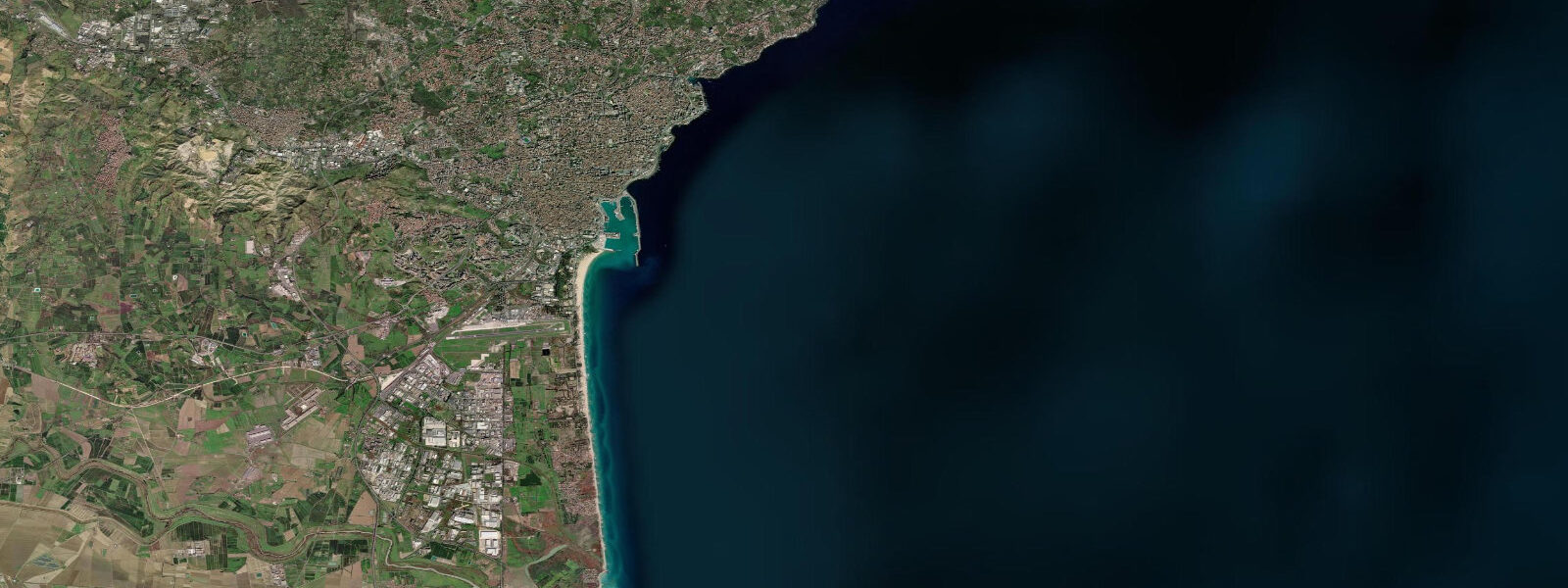
Marsala, 30 km south of Trapani along the SS115 coast road, sits in a sheltered lagoon behind Isola Grande. The shallow lagoon is tidal, with a range that amplifies slightly compared to the open coast; local fishing boats work the lagoon on the flood and return on the ebb. The Stagnone di Marsala nature reserve, adjacent to Isola Grande, is one of the few places in Italy where Posidonia oceanica seagrass meadows are accessible on foot at extreme low water over the lagoon flats.
Tide data for Trapani, Sicily comes from the Open-Meteo Marine API, a gridded model product. Timing accuracy is ±45 minutes, height accuracy ±0.3 m — usable for trip planning, not for navigation.
Tide questions about Trapani, Sicily
Quick answers to the most common questions about tide times, range, and water access at Trapani, Sicily.
How do tides affect the Saline di Trapani salt flats?
The Saline di Trapani operate on a tidal inflow and windmill-driven pumping cycle. At high water, seawater enters the primary pans through sluice gates connected to the sea. As the tide falls, windmills pump water progressively through a sequence of pans at different elevations, concentrating brine by evaporation at each stage. The mean tidal range in the Sicilian Channel is 0.15–0.25 m — small, but sufficient to drive the hydraulic difference between adjacent pan levels when combined with the windmill lift. The harvest basins at the end of the sequence contain near-saturated brine by late summer. Visiting at high water gives you the full pans; visiting two to three hours into the ebb shows the windmills actively working the sluices, which is the more interesting mechanical spectacle.
When is the best time to see flamingos at the Trapani salt pans?
Greater flamingos are present in the Saline di Trapani nature reserve year-round, but numbers are highest from October through February when migratory birds arrive from Sardinia and the Camargue. Summer holds a resident population of several hundred. Flamingos feed in water 0.3–0.5 m deep; the best viewing is on a rising or mid-tide when the primary pans hold that depth. On the lowest tides the shallowest pans drain enough to concentrate birds into fewer locations, which can make individual viewing better even if the overall habitat looks less spectacular. The windmill at Nubia has a raised walkway that is the standard viewpoint — arrive by 08:00 before tour groups arrive from Palermo.
What is the ferry crossing like from Trapani to the Egadi Islands?
Hydrofoils connect Trapani to Favignana in approximately 25 minutes, with the slower car ferry taking about 50 minutes. The Favignana Channel between the Sicilian mainland and the island carries a mild tidal current running northwest on the flood and southeast on the ebb, peaking at 0.3–0.5 knots at mid-tide. This has no practical effect on the ferry crossing but is noticeable in a kayak or small dinghy crossing the channel. Departures from Trapani run from early morning; last returns from Favignana are typically around 19:00–20:00 in summer, earlier off-season. Check the Siremar or Liberty Lines timetable for the current schedule — departures are weather-dependent, and the Sicilian Channel can build short, steep chop in a westerly.
Is snorkelling or diving possible at Capo Lilibeo and the nearby coastline?
Cape Boeo (Capo Lilibeo) has accessible underwater archaeology in calm conditions — the remains of the ancient Phoenician and Roman harbour at Lilibeo are submerged to 1–2 m below chart datum and visible by snorkel from the surface. The site is best in flat, settled weather with high sun angle (10:00–14:00 in summer) for maximum light penetration. The open-water dive sites off the Egadi Islands are the main draw for serious divers — Marettimo's western wall and the WWII-era wrecks in the Sicilian Channel are the headline targets, all accessed by dive boat from Trapani or Favignana. The Trapani coast itself has clean water with Posidonia meadows but limited topographic relief.
Does the tidal range in Trapani affect fishing from the harbour or coast?
Directly, no — the 0.15–0.25 m range is too small to significantly expose or cover intertidal structure. The fishing community in Trapani traditionally worked offshore grounds, not intertidal zones. The blue fin tuna mattanza — the historic net trap fishing operation in the Egadi Islands — operated on current and seasonal fish migration rather than tidal state. Today the mattanza is no longer commercially practised, but sport fishing from Favignana targets bluefin on the same seasonal runs (May–June). Shore fishing along the Trapani spit is productive for sea bream and bass at dawn and dusk; the sea wall south of the ferry terminal and the rocky sections near Capo Lilibeo are the standard access points.
7-day tide table — Trapani, Sicily
Heights relative to MSL. Predictions: Open-Meteo Marine (MeteoFrance SMOC, 0.08° grid) — heights relative to MSL (not chart datum / LAT). Model-derived.
| Day | Type | Time | Height |
|---|---|---|---|
| Fri 19 Jun | High | 02:00 | -0.4m |
| Low | 18:00 | -0.7m | |
| Sat 20 Jun | High | 01:10 | -0.4m |
| Low | 19:00 | -0.7m | |
| Sun 21 Jun | High | 02:00 | -0.4m |
| Low | 09:00 | -0.7m | |
| Mon 22 Jun | High | 03:10 | -0.4m |
| Low | 09:50 | -0.6m | |
| Tue 23 Jun | High | 03:50 | -0.4m |
| Low | 10:50 | -0.6m | |
| Wed 24 Jun | High | 04:50 | -0.4m |
| Thu 25 Jun | Low | 12:00 | -0.6m |
| High | 19:00 | -0.4m |