Portofino tide times
Portofino tide forecast — heights relative to MSL.
Today's tide times for Portofino
Tide times at Portofino on Friday, 19 June 2026: first high tide at 02:00, first low tide at 07:10, second high tide at 12:00, second low tide at 18:10. Sunrise 05:38, sunset 21:09.
Tide chart for Portofino
24-hour cosine-interpolated curve around the present moment. Heights relative to MSL. Predictions: Predictions: Open-Meteo Marine (MeteoFrance SMOC, 0.08° grid).
Sun, moon and conditions on Fri 19 Jun
Snapshot at build time — refreshes daily. Sea state from Open-Meteo Marine.
Highs and lows next 7 days
Every predicted high and low for the next week, with the daily tidal coefficient (0–120; higher = bigger swing, > 95 means stronger currents).
Other spots nearby
The three closest curated TideTurtle locations to Portofino, measured by great-circle distance.

Today's solunar windows
Solunar tradition: major periods are the ≈3h windows around moon transit and opposition; minor are ≈2h around moonrise and moonset. Pair with the local tide stage and wind for the best read.
About tides at Portofino
A short guide to the coastline at Portofino — geography, sea state, and what the tide is actually doing under your feet.
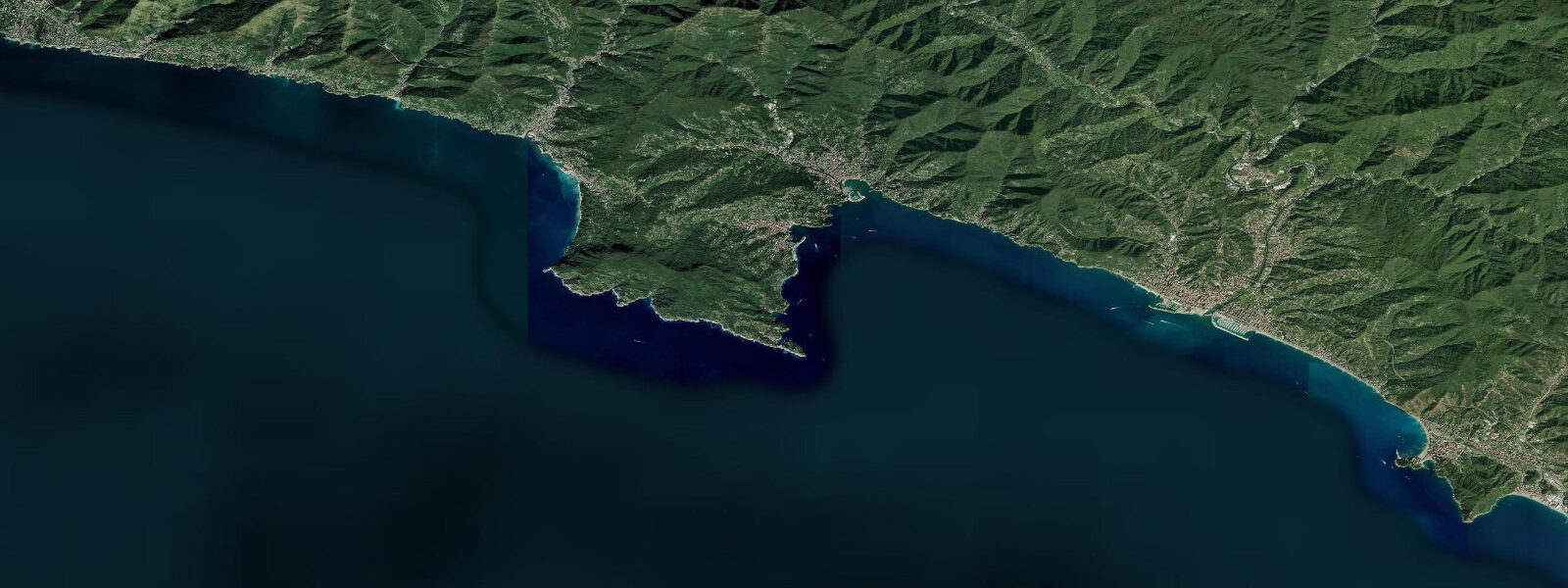
Portofino is the village that became the template for the Italian Riviera aesthetic worldwide — the horseshoe harbour ringed with ochre, terracotta, and pale-yellow buildings reflected in green water, fishing boats alongside the kind of superyachts that don't list prices. The promontory itself is a protected nature reserve and one of the few coastal stretches in Liguria where development stopped early; the pine and holm oak forests behind the village reach the cliff edge and the marine reserve extends offshore.
Tidal range here is 0.2 to 0.3 metres — the Mediterranean standard. Portofino's weather is shaped by its position at the tip of the Monte di Portofino promontory, which intercepts southwest weather while keeping the harbour in the wind shadow for much of the year. The result is one of the more sheltered anchorages on the Ligurian coast. The outer promontory facing the Tigullio Gulf receives more swell, but the harbour itself stays glassy when Camogli 5 kilometres north is choppy.
The Portofino Marine Reserve protects the sea floor from the shoreline to 1.5 nautical miles offshore. Underwater, the reserve has recovered substantially since the 1990s — posidonia meadows, spiny lobster, moray eels, grouper, and occasional barracuda shoals in the deeper channels. The Secca delle Vedove reef south of the promontory is the most visited dive site: a series of rocky pinnacles at 20–35 metres covered in gorgonian sea fans, encrusted with red coral, and patrolled by sizeable species unlikely to be seen on unprotected stretches of Ligurian coast. Dive permits from the reserve authority are required; local operators handle paperwork.
The Paraggi bay — a 15-minute walk along the coast path from Portofino — is one of the few genuinely sandy beaches in Liguria. It is small and heavily managed (private beach clubs hold most of the access), but the water clarity rewards the effort. Snorkelling from Paraggi into the reserve boundary produces consistent results.
The walking infrastructure around the promontory is exceptional. The Alta Via dei Monti Liguri crosses above the village; lower paths connect Portofino to San Fruttuoso (a medieval abbey accessible only by foot or boat), Camogli, and Santa Margherita Ligure. San Fruttuoso has a submerged Christ statue at 17 metres — the Cristo degli Abissi — placed there in 1954 and now a pilgrimage for divers across the Mediterranean. The walk to San Fruttuoso takes about 90 minutes one way; return by ferry.
Predictions on this page come from Open-Meteo Marine, a gridded global ocean model. Accuracy is typically within plus or minus 45 minutes on timing and 0.2 to 0.3 metres on height — model-derived, not from a local gauge. For authoritative Italian tide data, consult ISPRA (Istituto Superiore per la Protezione e la Ricerca Ambientale).
Tide questions about Portofino
Quick answers to the most common questions about tide times, range, and water access at Portofino.
What is the tidal range at Portofino?
Portofino sits in the micro-tidal Ligurian Sea. Spring tidal range is 0.2 to 0.3 metres. Water level is effectively constant from a practical planning standpoint. Harbour shelter is excellent thanks to the promontory's southwest orientation, making the anchorage calm even when the Golfo del Tigullio outside has a chop running.
Is the Portofino Marine Reserve good for diving?
Yes — it is one of the better dive destinations on the Italian Riviera. Protection since the 1990s has allowed grouper, moray, and spiny lobster populations to recover. The Secca delle Vedove pinnacles at 20–35 metres host gorgonian fans and red coral. The Cristo degli Abissi statue at San Fruttuoso (17 metres) is a named dive site with historical and visual appeal. Dive permits required; local operators include them in trip bookings.
How do I get to San Fruttuoso abbey from Portofino?
Two options: walk the coastal path (approximately 90 minutes one way, moderate difficulty with some scrambling), or take the seasonal passenger ferry that runs from Portofino, Camogli, and Santa Margherita Ligure. The abbey has a small pebble beach and cafe. Many people walk one direction and ferry back. There is no road access — foot or boat only, which is why it has survived intact.
Is Paraggi beach open to the public?
Partially. Paraggi bay has a small public access zone, but most of the beach is managed by private lidos that charge for sunbeds and umbrellas. Arrive early (before 09:00) to find public space. The walk from Portofino takes 15 minutes on the coastal path. The water is exceptionally clear and sandy-bottomed — unusual for Liguria, which is mostly pebble coast.
When is the best time to visit Portofino to avoid the worst crowds?
May and September. July and August bring day-tripper volumes that can make the tiny village feel genuinely claustrophobic; boat traffic in the harbour peaks, and the coastal paths are heavily used. May offers reliable sunshine, warm enough water for swimming, empty paths, and the wildflowers on the promontory at their best. Late September maintains warm sea temperatures (22–23°C) with noticeably fewer visitors.
8-day tide table — Portofino
Heights relative to MSL. Predictions: Open-Meteo Marine (MeteoFrance SMOC, 0.08° grid) — heights relative to MSL (not chart datum / LAT). Model-derived.
| Day | Type | Time | Height |
|---|---|---|---|
| Fri 19 Jun | High | 02:00 | -0.4m |
| Low | 07:10 | -0.6m | |
| High | 12:00 | -0.5m | |
| Low | 18:10 | -0.7m | |
| Sat 20 Jun | — | ||
| Sun 21 Jun | High | 02:00 | -0.4m |
| Mon 22 Jun | Low | 10:00 | -0.6m |
| High | 16:00 | -0.5m | |
| Tue 23 Jun | Low | 10:50 | -0.6m |
| Wed 24 Jun | High | 04:00 | -0.4m |
| Thu 25 Jun | Low | 12:10 | -0.6m |
| High | 19:10 | -0.4m | |
| Fri 26 Jun | Low | 01:00 | -0.5m |