Reggio Calabria tide times
Reggio Calabria tide forecast — heights relative to MSL.
Tide chart for Reggio Calabria
24-hour cosine-interpolated curve around the present moment. Heights relative to MSL. Predictions: Predictions: Open-Meteo Marine (MeteoFrance SMOC, 0.08° grid).
Sun, moon and conditions on Sun 21 Jun
Snapshot at build time — refreshes daily. Sea state from Open-Meteo Marine.
Highs and lows next 7 days
Every predicted high and low for the next week, with the daily tidal coefficient (0–120; higher = bigger swing, > 95 means stronger currents).
Other spots nearby
The three closest curated TideTurtle locations to Reggio Calabria, measured by great-circle distance.
Today's solunar windows
Solunar tradition: major periods are the ≈3h windows around moon transit and opposition; minor are ≈2h around moonrise and moonset. Pair with the local tide stage and wind for the best read.
About tides at Reggio Calabria
A short guide to the coastline at Reggio Calabria — geography, sea state, and what the tide is actually doing under your feet.
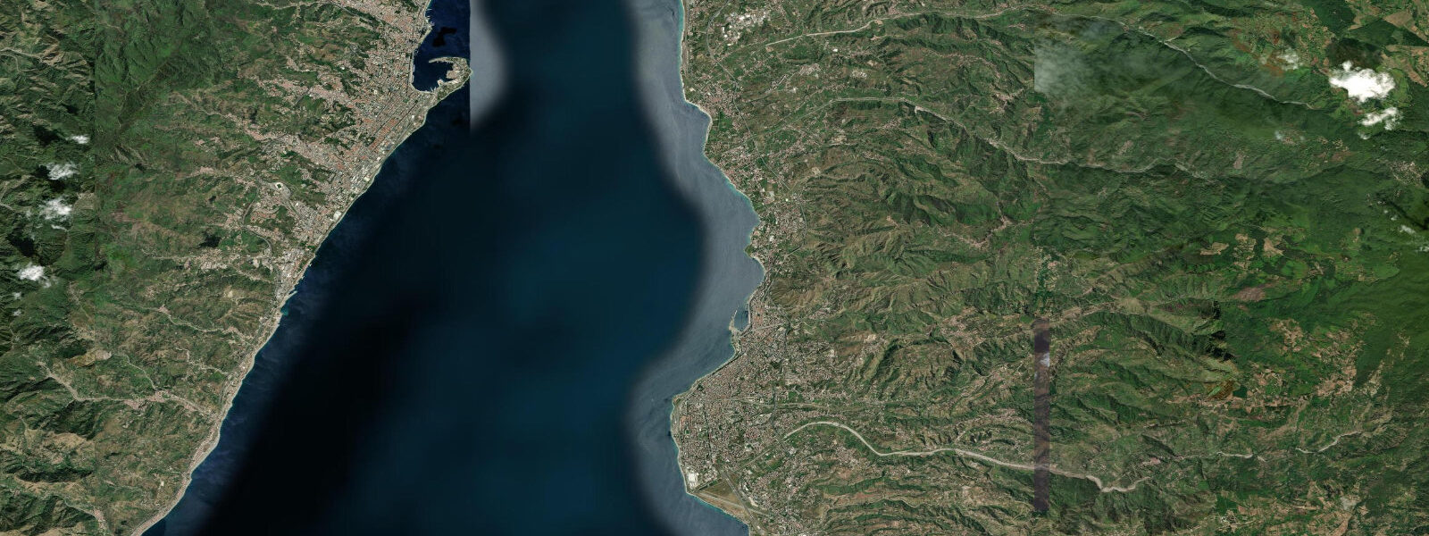
Reggio Calabria stands at the narrowest point of the Strait of Messina, 3.2 kilometres from the Sicilian shore at Messina, and the sea here behaves unlike anywhere else in the Mediterranean. The Strait connects the Tyrrhenian basin to the north and the Ionian to the south, two bodies of water that rarely sit at the same level. The pressure differential between them drives tidal currents that can reach 3 knots during peak flow — fast enough to require active consideration from small boat operators navigating the passage. The Strait is one of the few places in the Mediterranean where tides produce genuinely consequential currents rather than a gentle oscillation of centimetres.
Mean tidal range at Reggio Calabria is approximately 0.4 metres — modestly elevated compared to the Italian norm of 0.2–0.3 metres, a direct consequence of the Strait's hydraulic amplification. The twice-daily flood and ebb that would be invisible on an open Tyrrhenian beach are visible here in the behaviour of currents running along the waterfront and through the port approaches.
The Bronzi di Riace — two life-size Greek bronze warriors cast around 450 BC and recovered from the sea floor 8 kilometres north of Reggio in 1972 — are housed in the Museo Nazionale della Magna Grecia and represent perhaps the finest surviving examples of classical Greek bronze sculpture in the world. The museum makes Reggio a mandatory stop for anyone interested in the archaeology of Magna Graecia, the Greek colonial settlements that dominated this coast from the 8th century BC onward.
The Strait of Messina has a classical literary identity: the whirlpool Charybdis and the six-headed monster Scylla, which Homer placed on either side of a narrow sea passage, are generally accepted by scholars to reference the Strait. The tidal bore and currents that form the modern Charybdis vortex are strongest during spring tides at the northern entrance near Capo Peloro; visible, though not dangerous to large vessels. Fishing boats working the Strait target pesce spada (swordfish) during their summer migration — a tradition depicted in the Museo del Mare in Messina.
Reggio's seafront lungomare, rebuilt after the 1908 earthquake that devastated the city and killed over 200,000 people in one of the deadliest natural disasters in European history, is a wide palm-lined promenade facing Sicily. Etna is visible from it on clear days. The city never fully regained the population it had before 1908, but the cultural infrastructure around the Bronzi and the Strait's unique environment give it a weight disproportionate to its present size.
Predictions on this page come from Open-Meteo Marine, a gridded global ocean model. Accuracy is typically within plus or minus 45 minutes on timing and 0.2 to 0.3 metres on height — model-derived, not from a local gauge. For authoritative Italian tide data, consult ISPRA (Istituto Superiore per la Protezione e la Ricerca Ambientale) through the Rete Mareografica Nazionale.
Tide questions about Reggio Calabria
Quick answers to the most common questions about tide times, range, and water access at Reggio Calabria.
Why does the Strait of Messina have stronger tidal currents than the rest of the Mediterranean?
The Tyrrhenian Sea and the Ionian Sea rarely sit at exactly the same water level. The Strait of Messina — 3.2 kilometres wide at its narrowest between Reggio Calabria and Messina — is the pressure-equalisation channel between them. When the tidal cycle creates a differential, water flows through the Strait to correct it, producing currents of up to 3 knots at peak flow. This is exceptional for the Mediterranean, where the tide itself is typically only 0.2–0.3 metres. The Strait's hydraulic behaviour was strong enough to generate the Scylla and Charybdis legend in antiquity.
What is the tidal range at Reggio Calabria?
Approximately 0.4 metres mean range at springs — modestly higher than the typical Italian Mediterranean figure of 0.2–0.3 metres, due to the hydraulic amplification effect of the Strait of Messina. The current patterns in the Strait change direction with the tidal phase; small boat operators and swimmers near the strait entrance should check tide state before entering the water.
Are the Bronzi di Riace worth visiting?
Yes — the two bronze warriors in the Museo Nazionale della Magna Grecia are considered the finest surviving classical Greek bronze sculptures in existence. Cast around 450 BC, they were lying on the sea floor 8 kilometres north of Reggio until discovered by a sport diver in 1972. The museum also houses an extensive Magna Graecia collection covering the Greek colonial period across southern Italy from the 8th century BC. Allow 2–3 hours for a proper visit.
Is it safe to swim in the Strait of Messina?
Swimming is possible in sheltered areas along Reggio's lungomare, away from the main current channels. The Strait's tidal currents — up to 3 knots in the central passage — make open-water crossings and swimming in the shipping lane area genuinely hazardous for swimmers and unsupported kayakers. Organised cross-strait swims do take place annually (the Coppa del Faro event), but these are safety-managed events with escort boats. Check local conditions and keep clear of ferry and ship traffic.
Are the tide predictions on this page suitable for navigation in the Strait of Messina?
No. Predictions here come from Open-Meteo Marine, a global ocean model providing indicative guidance only. The Strait of Messina is a complex, fast-moving hydraulic environment where current speeds and reversal timing are critical for safe navigation. For the Strait specifically, use official Italian Hydrographic Institute (Istituto Idrografico della Marina) tide and current tables, and consult current pilot books. Never plan a Strait passage based on model-derived tide predictions alone.
8-day tide table — Reggio Calabria
Heights relative to MSL. Predictions: Open-Meteo Marine (MeteoFrance SMOC, 0.08° grid) — heights relative to MSL (not chart datum / LAT). Model-derived.
| Day | Type | Time | Height |
|---|---|---|---|
| Sun 21 Jun | — | ||
| Mon 22 Jun | — | ||
| Tue 23 Jun | High | 23:00 | -0.5m |
| Wed 24 Jun | — | ||
| Thu 25 Jun | — | ||
| Fri 26 Jun | Low | 07:00 | -0.6m |
| Sat 27 Jun | — | ||
| Sun 28 Jun | High | 01:00 | -0.5m |