Cork Harbour tide times
Cork Harbour tide forecast — heights relative to MSL.
Today's tide times for Cork Harbour
Tide times at Cork Harbour on Sunday, 21 June 2026: first high tide at 01:00, first low tide at 04:36, second high tide at 10:23, second low tide at 16:54, third high tide at 22:57. Sunrise 05:13, sunset 21:55.
Tide chart for Cork Harbour
24-hour cosine-interpolated curve around the present moment. Heights relative to MSL. Predictions: Predictions: Open-Meteo Marine (MeteoFrance SMOC, 0.08° grid).
Sun, moon and conditions on Sun 21 Jun
Snapshot at build time — refreshes daily. Sea state from Open-Meteo Marine.
Highs and lows next 7 days
Every predicted high and low for the next week, with the daily tidal coefficient (0–120; higher = bigger swing, > 95 means stronger currents).
Other spots nearby
The three closest curated TideTurtle locations to Cork Harbour, measured by great-circle distance.
Today's solunar windows
Solunar tradition: major periods are the ≈3h windows around moon transit and opposition; minor are ≈2h around moonrise and moonset. Pair with the local tide stage and wind for the best read.
Cycle dates near Cork Harbour
Last spring tide on Sun 21 Jun (range 2.7m). Next spring tide on Sat 27 Jun (range 2.4m). Next neap on Wed 24 Jun.
Spring tides cluster around new and full moons (biggest swings). Neap tides land on quarter moons (smallest swings). See the spring tide and neap tide glossary entries for the why.
About tides at Cork Harbour
A short guide to the coastline at Cork Harbour — geography, sea state, and what the tide is actually doing under your feet.
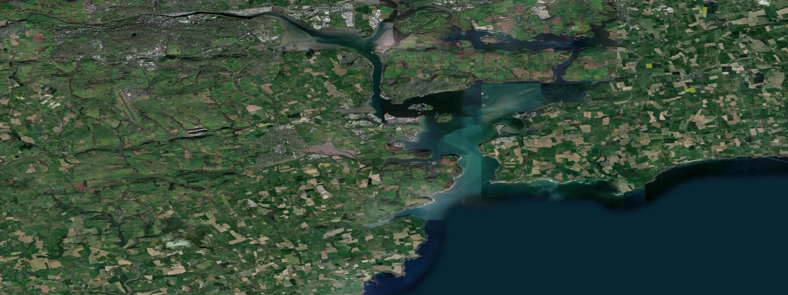
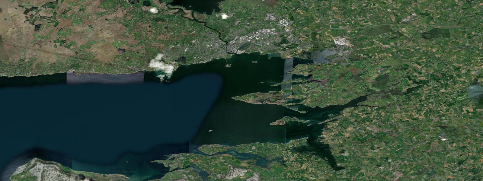
Cork Harbour is one of the largest natural harbours in the world — a drowned river valley stretching 25 kilometres from the harbour mouth at Roches Point to the city quays. The tidal range is significant: mean range approximately 3.6 metres above Lowest Astronomical Tide (LAT), with spring tides pushing to around 4.2 metres and neap tides falling back to 1.8 metres. Two high waters and two low waters occur each day, roughly 12 hours 25 minutes apart, with the flood running northeast from Roches Point and the ebb reversing southwest.
Cobh (pronounced 'Cove'), on Great Island in the inner harbour, sits at the intersection of maritime history and active coastal life. The RMS Titanic's final port call was here on 11 April 1912; 123 passengers boarded by tender before the ship turned for open water. The town's steep Victorian terraces and cathedral spire are landmarks on the approach from seaward. At low water, the foreshore below the town drops away to exposed mudflat — a reminder of how much the harbour breathes with each tide.
Tidal streams in the outer harbour entrance run at 1.0–1.5 knots on spring tides; inside the harbour proper, streams are gentler, typically under 0.5 knots. The harbour supports one of Ireland's busiest commercial ferry terminals (Ringaskiddy, for Brittany Ferries to Roscoff and Santander), a major container port, a cruise ship anchorage, and extensive leisure sailing from Royal Cork Yacht Club at Crosshaven — the oldest yacht club in the world, founded 1720.
For sea anglers, the harbour and adjacent outer approaches hold bass, flounder, pollock, and wrasse through the season. Shore marks inside the harbour fish best on the first two hours of the flood. Kayakers use the inner harbour channels extensively; novice groups launch from Crosshaven and work the sheltered eastern shore. Swimmers favour Myrtleville Beach, just outside the harbour on the western shore, accessible at any state of tide.
Open-Meteo Marine tide predictions displayed here carry an inherent uncertainty of approximately ±45 minutes on timing and ±0.2–0.3 metres on height. Marine Institute Ireland station data and the UKHO's Irish Sea and South Coast of Ireland charts (Admiralty chart SC5622) are the authoritative references for planning any passage or commercial operation in Cork Harbour.
Tide questions about Cork Harbour
Quick answers to the most common questions about tide times, range, and water access at Cork Harbour.
What is the tidal range at Cork Harbour?
The mean spring range at Cork Harbour is approximately 4.2 metres above Lowest Astronomical Tide (LAT), with neap ranges around 1.8 metres. The average mean range sits near 3.6 metres. These figures relate to the outer harbour at Roches Point; ranges decrease slightly moving deeper into the inner harbour toward Cork city quays. Tides are semidiurnal — two high waters and two low waters per day.
What time does the tide turn at Cork Harbour?
High water at Cork Harbour (Roches Point) occurs approximately 6 hours 10 minutes after high water at Cobh, which itself follows the primary Atlantic tidal wave up the Celtic Sea. The flood stream at the harbour mouth runs northeast for roughly 6 hours; the ebb reverses southwest. Use the tide times displayed on this page as a planning guide; for a specific date confirm against Marine Institute Ireland published predictions, as the Open-Meteo forecast carries ±45-minute timing uncertainty.
Is Cork Harbour safe for swimming and kayaking?
The inner harbour offers well-sheltered water suitable for kayaking at any state of tide, with the eastern shore from Crosshaven to Spike Island popular among paddlers. Myrtleville Beach on the western outer harbour is the principal swimming beach — it faces southeast and is accessible at all tide states, though the foreshore steepens slightly on the lower ebb. Tidal streams in the main channel at Roches Point run at 1.0–1.5 knots on springs, which is manageable for experienced kayakers but worth noting when crossing the shipping lane. Cobh foreshore exposes considerable mudflat at low water; wading is inadvisable.
Can I visit Cobh and the Titanic Experience by boat?
Yes. Cobh is accessible by private boat via the main harbour channel; a visitors' pontoon operates seasonally adjacent to the town quay. Low-water clearances at the town-side berths are adequate for most cruising yachts at half-tide and above — check the latest berthing guide from Cobh Marina for sill depths. The Titanic Experience Cobh is a short walk up the hill from the quay, housed in the original White Star Line ticketing offices where passengers boarded the tenders on 11 April 1912.
How accurate are the tide predictions for Cork Harbour on this site?
Tide times and heights displayed on TideTurtle use Open-Meteo Marine model output. That source carries an inherent forecast uncertainty of approximately ±45 minutes on timing and ±0.2–0.3 metres on height relative to observed water levels. For recreational planning — timing a beach visit, launching a kayak, checking whether a drying mooring is accessible — this accuracy is generally sufficient. For commercial vessel operations, passage planning, or any situation where grounding or flooding would carry serious consequences, use Marine Institute Ireland's published tide tables or UKHO Admiralty charts as the authoritative source. This site does not replace official nautical publications.
7-day tide table — Cork Harbour
Heights relative to MSL. Predictions: Open-Meteo Marine (MeteoFrance SMOC, 0.08° grid) — heights relative to MSL (not chart datum / LAT). Model-derived.
| Day | Type | Time | Height |
|---|---|---|---|
| Sun 21 Jun | High | 01:00 | -0.3m |
| Low | 04:36 | -1.9m | |
| High | 10:23 | 0.7m | |
| Low | 16:54 | -1.9m | |
| High | 22:57 | 0.8m | |
| Mon 22 Jun | Low | 05:26 | -1.7m |
| High | 11:23 | 0.7m | |
| Low | 17:50 | -1.6m | |
| High | 23:56 | 0.8m | |
| Tue 23 Jun | Low | 06:22 | -1.5m |
| High | 12:21 | 0.7m | |
| Low | 18:50 | -1.5m | |
| Wed 24 Jun | High | 00:54 | 0.7m |
| Low | 07:21 | -1.4m | |
| High | 13:20 | 0.7m | |
| Low | 19:51 | -1.4m | |
| Thu 25 Jun | High | 01:52 | 0.8m |
| Low | 08:21 | -1.3m | |
| High | 14:16 | 0.9m | |
| Low | 20:52 | -1.3m | |
| Fri 26 Jun | High | 02:43 | 0.9m |
| Low | 09:21 | -1.4m | |
| High | 15:09 | 0.9m | |
| Low | 21:48 | -1.4m | |
| Sat 27 Jun | High | 03:34 | 0.9m |
| Low | 10:11 | -1.4m | |
| High | 15:57 | 1.0m | |
| Low | 22:35 | -1.4m |