Chabahar tide times
Chabahar tide forecast — heights relative to MSL.
Today's tide times for Chabahar
Tide times at Chabahar on Friday, 3 July 2026: first low tide at 04:02am, first high tide at 10:03pm. Sunrise 04:40am, sunset 06:21pm.
Tide chart for Chabahar
24-hour cosine-interpolated curve around the present moment. Heights relative to MSL. Predictions: Predictions: Open-Meteo Marine (MeteoFrance SMOC, 0.08° grid).
Sun, moon and conditions on Fri 03 Jul
Snapshot at build time — refreshes daily. Sea state from Open-Meteo Marine.
Highs and lows next 7 days
Every predicted high and low for the next week, with the daily tidal coefficient (0–120; higher = bigger swing, > 95 means stronger currents).
Other spots nearby
The three closest curated TideTurtle locations to Chabahar, measured by great-circle distance.
Today's solunar windows
Solunar tradition: major periods are the ≈3h windows around moon transit and opposition; minor are ≈2h around moonrise and moonset. Pair with the local tide stage and wind for the best read.
Cycle dates near Chabahar
Next spring tide on Sat 04 Jul (range 2.0m). Next neap on Tue 07 Jul.
Spring tides cluster around new and full moons (biggest swings). Neap tides land on quarter moons (smallest swings). See the spring tide and neap tide glossary entries for the why.
About tides at Chabahar
A short guide to the coastline at Chabahar — geography, sea state, and what the tide is actually doing under your feet.
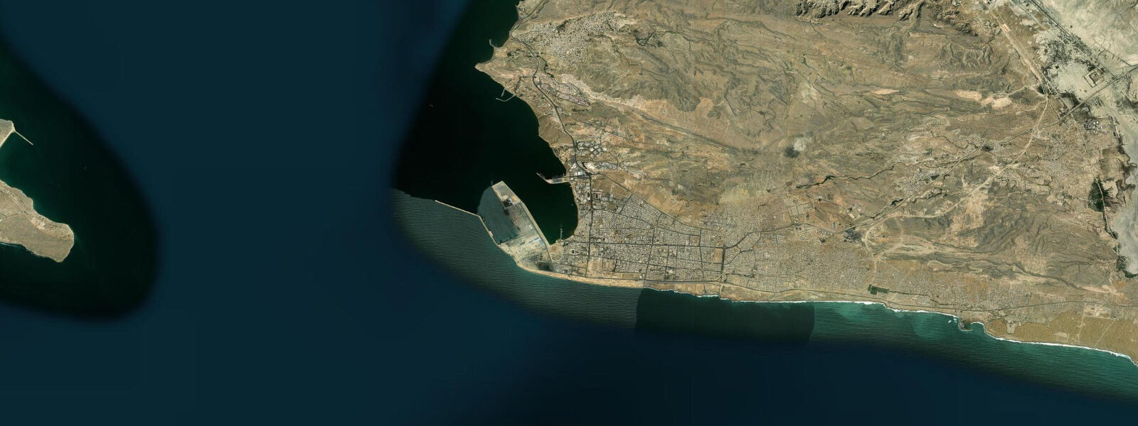
Chabahar is Iran's only deepwater port on the Sea of Oman — the country's open-ocean window, separated from the enclosed Persian Gulf by the Strait of Hormuz. The difference from the Gulf coast is immediate and physical: the water is deeper, clearer, and the sea state is influenced by the Indian Ocean rather than the enclosed Gulf basin. Chabahar faces south toward open water; the nearest land in that direction is the Maldives, approximately 3,000 km away across the open Indian Ocean.
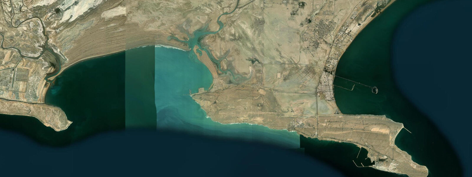
Tides at Chabahar follow the Sea of Oman pattern, which is semi-diurnal but driven by different resonant frequencies from the Indian Ocean than the Gulf's tides. Spring tidal range here is approximately 1.8-2.4 m — among the larger values on Iran's entire coast. The tidal currents at Chabahar Bay are strong enough to be operationally significant for small boat operators, and the bay geometry concentrates tidal flow in the channel between the Tibid Peninsula and the eastern shoreline. Local boat operators know these patterns well and plan accordingly.
The monsoon is the defining seasonal force at Chabahar — a detail that marks this coast as fundamentally different from anything on the Gulf. The Indian Ocean Southwest Monsoon arrives in June and builds through July-August, sending powerful swell from the south and southwest that can reach 3-5 m or more on the outer coast. The Makran coastline becomes genuinely wild. The fishing community manages this; the port itself is in a protected position relative to the main swell. The swell also creates surf conditions on the exposed beaches south of town, though no formal surf culture has yet developed here.
For diving and snorkelling, Chabahar's offshore islands — Derrik, Farandegin, and the nearby rocky outcrops — are Iran's best accessible dive sites by a wide margin. The clear Indian Ocean water (visibility of 12-20 m in winter) and the reef communities of the Sea of Oman rather than the enclosed Gulf give a completely different underwater environment: more diverse coral, larger fish, and Indian Ocean species not found in the Gulf at all. Whale sharks pass through the outer coast in May-June during the pre-monsoon season, before the full monsoon makes the sea unsafe for small boats.
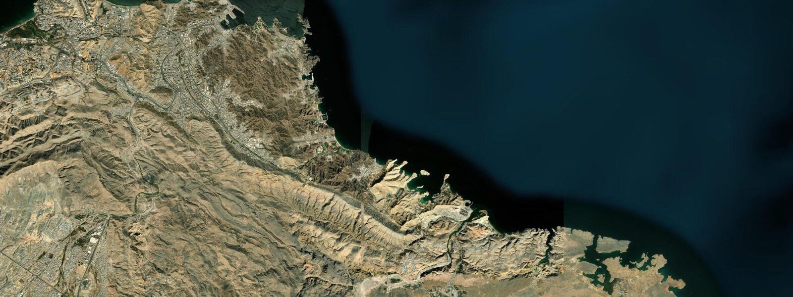
The Makran coast of Baluchistan province is remote and historically underdeveloped. Connectivity to the rest of Iran has improved with road upgrades and a developing rail link, but this remains frontier territory by Iranian standards. The coastline east of Chabahar toward the Pakistan border is some of the wildest marine territory in the western Indian Ocean: sea stacks, sandy coves, mud volcanoes near the water's edge, and minimal human presence for hundreds of kilometres. For travellers seeking a genuinely different Iranian coastal experience far removed from the Gulf's enclosed water, Chabahar delivers something exceptional.
The geopolitical position of Chabahar — contested between Iranian development ambitions, Indian infrastructure investment, and the broader India-Pakistan-Iran strategic triangle — has brought significant port development investment in recent years, with India's Adani Group involved in terminal operations. This has improved connectivity without yet transforming the city's character; it remains a frontier port with more authenticity than polish. For the marine traveller, this is a feature rather than a bug: the dive sites are uncrowded, the fishing community is accessible and genuine, and the Makran coast east toward Pakistan remains some of the most truly remote coastline in the western Indian Ocean. The open-ocean exposure at Chabahar means weather windows are more variable than at enclosed Gulf sites, and the prudent approach is to build flexibility into any trip plan: the best diving days and the worst swell days can arrive in quick succession on a coast that faces the full depth of the Indian Ocean.
Tide questions about Chabahar
Quick answers to the most common questions about tide times, range, and water access at Chabahar.
What are tides like at Chabahar?
Chabahar's tides are Indian Ocean-driven, distinct from the enclosed Gulf. Spring tidal ranges of 1.8-2.4 m are typical for the Sea of Oman coast. The semi-diurnal pattern continues but the tidal curve shape and timing differ from Gulf sites. In Chabahar Bay itself, the channel between the Tibid Peninsula and the eastern shore concentrates tidal flow; currents of 1-2 knots on spring tides are normal here and important for small boat operators to manage. Open-Meteo gridded predictions (±45 min, ±0.3 m). The bay geometry means there is a good window for calm diving and snorkelling in the sheltered inner bay regardless of swell conditions on the outer coast — local operators know the shelter-exposure trade-offs by site and season.
When is the best time to dive or snorkel at Chabahar?
November through April is the window for the best underwater conditions. Water temperatures of 22-26°C, visibility of 12-20 m, and calm sea conditions on the offshore islands combine for genuinely excellent diving by regional standards. The Indian Ocean winter is cleaner and clearer than summer. March-April is the peak for reef fish activity and whale shark probability increases in May as the pre-monsoon water warms. The Southwest Monsoon (June-August) shuts down offshore diving on the outer coast — swell is too large and conditions too rough for safe small-boat operations. September-October sees the monsoon tail off and conditions improve rapidly through October. Iranian dive operators in Chabahar typically run a November-May dive season and pause during peak monsoon months.
What marine life can I expect to see at Chabahar?
Chabahar sits at the edge of the Indian Ocean proper, giving it marine fauna distinct from the enclosed Gulf. Hard and soft coral reef communities on the offshore islands support a diverse reef fish community: grouper, snapper, barracuda, trevally, rays, and moray eel. Pelagic species include wahoo, yellowfin tuna, and dorado in the open water beyond the reef. Whale sharks pass through the outer coast in May-June during the pre-monsoon season — not guaranteed but regular enough that local operators factor it into the seasonal offering. Green and hawksbill turtles nest on some of the Makran beaches and are seen in the water year-round. Dolphins (Indo-Pacific bottlenose and spinner) are common in the bay. The diversity here is substantially higher than at any Persian Gulf site.
How do I get to Chabahar?
Chabahar has a domestic airport (Konarak Airport) with flights from Tehran (approximately 2.5 hours) and some other Iranian cities. The flight is the practical option for most visitors — the land route through Baluchistan province is long (1,200+ km from Tehran), much of it through remote terrain. Security conditions in Sistan-Baluchestan province require checking current travel advisories from your home country before planning any overland trip. Foreigners travelling to Chabahar need standard Iranian visa arrangements. The Chabahar Free Trade Zone allows some visa-on-arrival arrangements — check current rules as these have changed periodically and may differ from standard Iranian visa requirements.
Is Chabahar safe for water activities and what should I know about the monsoon?
November through May is safe for most water activities at Chabahar. The Southwest Monsoon (June-September) is the major seasonal hazard: swell can build to 3-5 m on the outer coast, and the bay entrance sees rough conditions during peak monsoon months. Local fishermen and dive operators know exactly where the shelter is and when to stay in port — follow their guidance without exception during monsoon season. The inner bay remains relatively protected even in moderate monsoon swell. Year-round hazards are standard Indian Ocean coastal cautions: tidal current in the bay channel, sharp coral at dive sites, and Portuguese man-o'-war which appears intermittently. A 3 mm wetsuit is appropriate November-February; lighter protection in spring and early summer before the monsoon arrives.
8-day tide table — Chabahar
Heights relative to MSL. Predictions: Open-Meteo Marine (MeteoFrance SMOC, 0.08° grid) — heights relative to MSL (not chart datum / LAT). Model-derived.
| Day | Type | Time | Height |
|---|---|---|---|
| Fri 03 Jul | Low | 04:02 | -0.8m |
| High | 22:03 | 0.9m | |
| Sat 04 Jul | Low | 04:31 | -0.7m |
| High | 11:30 | 1.3m | |
| Low | 17:38 | 0.0m | |
| High | 22:48 | 0.8m | |
| Sun 05 Jul | Low | 05:03 | -0.5m |
| High | 11:57 | 1.3m | |
| Low | 18:23 | -0.1m | |
| High | 23:47 | 0.8m | |
| Mon 06 Jul | Low | 05:40 | -0.4m |
| High | 12:25 | 1.3m | |
| Low | 19:08 | -0.2m | |
| Tue 07 Jul | High | 00:47 | 0.7m |
| Low | 06:23 | -0.2m | |
| High | 12:56 | 1.2m | |
| Low | 19:52 | -0.4m | |
| Wed 08 Jul | High | 13:33 | 1.1m |
| Low | 20:55 | -0.6m | |
| Thu 09 Jul | High | 03:35 | 0.7m |
| Low | 08:20 | 0.2m | |
| High | 14:21 | 1.1m | |
| Low | 21:49 | -0.8m | |
| Fri 10 Jul | High | 02:30 | 0.3m |