Kish Island tide times
Kish Island tide forecast — heights relative to MSL.
Today's tide times for Kish Island
Tide times at Kish Island on Friday, 3 July 2026: first high tide at 03:30am, first low tide at 09:08am, second high tide at 04:25pm. Sunrise 05:05am, sunset 06:51pm.
Tide chart for Kish Island
24-hour cosine-interpolated curve around the present moment. Heights relative to MSL. Predictions: Predictions: Open-Meteo Marine (MeteoFrance SMOC, 0.08° grid).
Sun, moon and conditions on Fri 03 Jul
Snapshot at build time — refreshes daily. Sea state from Open-Meteo Marine.
Highs and lows next 7 days
Every predicted high and low for the next week, with the daily tidal coefficient (0–120; higher = bigger swing, > 95 means stronger currents).
Other spots nearby
The three closest curated TideTurtle locations to Kish Island, measured by great-circle distance.
Today's solunar windows
Solunar tradition: major periods are the ≈3h windows around moon transit and opposition; minor are ≈2h around moonrise and moonset. Pair with the local tide stage and wind for the best read.
Cycle dates near Kish Island
Next spring tide on Sat 04 Jul (range 1.3m). Next neap on Sun 05 Jul.
Spring tides cluster around new and full moons (biggest swings). Neap tides land on quarter moons (smallest swings). See the spring tide and neap tide glossary entries for the why.
About tides at Kish Island
A short guide to the coastline at Kish Island — geography, sea state, and what the tide is actually doing under your feet.
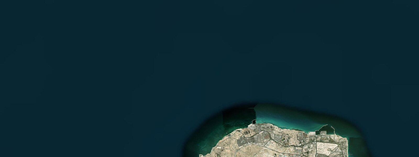
Kish is a flat coral island in the eastern Persian Gulf, about 18 kilometres from the Iranian mainland in Hormozgan Province. Its elevation barely clears 40 metres at the highest point; the entire island is 91 square kilometres of coral limestone set in shallow turquoise water. Since the 1970s it has operated as a free trade zone, and today it functions primarily as a domestic resort and shopping destination — but the marine environment around it is the reason any visitor interested in tides and coastal ecology comes here.
The tidal regime at Kish is mixed semidiurnal. Further into the Persian Gulf than Bandar Abbas, the tidal resonance of the Gulf amplifies the signal and spring tides produce a range of approximately 1.5 to 2.0 metres — noticeably larger than at the Strait. The two daily tide cycles are irregular in height, with the diurnal inequality most pronounced around the solstices. At low water on a spring tide, the coral reef platform on the island's southern and eastern side is exposed to within a few hundred metres of the beach, and the reef flat becomes accessible on foot in places — tidal pools holding fish, urchins, and anemones.
The Mubarak Marine Park covers the coral reef system surrounding the island. The reef is predominantly Acropora table and branching coral with Porites massive formations in the deeper zones. Coral bleaching events have affected the reef — the 1998 Indian Ocean bleaching event hit the Persian Gulf hard, and subsequent events in 2010 and 2020 caused partial mortality — but recovery has occurred and live coral cover remains significant on the north and northwest sides of the island, where the water is deeper and circulation better.
On the western coast, the MS Koula F — referred to locally as the Greek Ship — lies grounded on a sand bottom in the shallows. The vessel ran aground in 1966 and was never refloated. The hull is now heavily corroded, the superstructure partially collapsed, and the wreck has become artificial reef. It is Kish's most photographed feature: the rust-orange hulk sitting in clear water against the island backdrop, accessible from the western beach. At low water on a spring tide, it is possible to walk along the beach to within 30 metres of the hull. Snorkelling around the wreck is popular — the structure has colonised significantly with coral and the resident fish population includes grouper and parrotfish.
Dolphin watching is reliable in the waters around Kish. Indo-Pacific bottlenose dolphins are common; spinner dolphins are occasionally seen on the deeper water side. Boat trips run from the marina on the northern coast. The Persian Gulf has a resident population of dugong — sea cow — and while sightings from Kish itself are uncommon, the shallow seagrass beds on the island's eastern side are part of the broader dugong feeding habitat of the Gulf.
The island's human geography is a product of the free trade zone regime. No visa is required for international visitors staying on Kish (a practical arrangement that made it a convenient transit point historically), and duty-free shopping draws Iranians who cannot easily travel abroad. The circular road around the island is 27 kilometres; cycling is a popular activity in the cooler months. The beach clubs on the northern coast operate a family-friendly model consistent with Iranian public beach regulation.
Best visiting window: November through March. April and May are warm but acceptable. The summer months from June to September are genuinely extreme — the Persian Gulf absorbs solar heat and sea surface temperatures reach 32-34°C; air temperatures on the island exceed 40°C with high humidity. For reef exploration and photography, early morning low-water visits in the winter months give the clearest water and the most accessible reef flat.
The island's circular road — 27 kilometres — is flat and well-surfaced, and bicycle hire is available from multiple outlets near the marina area. Cycling the circuit in the early morning (start before 07:00 in summer, by 08:00 in winter) covers the western coast wreck viewpoint, the southern reef edge where the flat is exposed at low water, and the northern marina area in approximately two hours at a comfortable pace. The flat geometry of the island means wind direction matters more than gradient — the prevailing northwest wind (Shamal) makes the western leg the headwind section in the typical circuit direction.
For those with an interest in the Persian Gulf's ecological history: the coral bleaching documentation at Kish is unusually well-recorded because researchers from the Iranian Fisheries Research Organization have monitored the reef continuously since the 1990s. The recovery trajectory after the 1998 event was faster on the north and northwest faces than on the south — a pattern consistent with the deeper water and better flushing on the north side reducing heat stress duration during bleaching events.
Predictions on this page come from Open-Meteo Marine, a gridded global ocean model. Accuracy is typically within plus or minus 45 minutes on timing and 0.2 to 0.3 metres on height — model-derived, not from a local gauge. The authoritative source for tidal data in this region is the Ports and Maritime Organization of Iran (PMO).
Tide questions about Kish Island
Quick answers to the most common questions about tide times, range, and water access at Kish Island.
What is the Greek Ship at Kish Island?
The Greek Ship is the wreck of the MS Koula F, a cargo vessel that ran aground on the western coast of Kish in 1966 and was never salvaged. The hull sits in shallow water on a sand bottom, now heavily corroded and partially collapsed. It has become the island's most recognised landmark and an unofficial artificial reef — coral has colonised the hull and the wreck supports a significant fish population including grouper and parrotfish. At low water on a spring tide, the beach walk brings you within 30 metres of the hull. Snorkelling around the structure is popular and the visibility in the surrounding water is typically 5 to 10 metres.
What is the tidal range at Kish Island?
Kish Island is far enough into the Persian Gulf that the Gulf's tidal resonance amplifies the tidal signal compared to the Strait of Hormuz. Spring tides at Kish produce a range of approximately 1.5 to 2.0 metres. The regime is mixed semidiurnal — two high and two low tides per day, but the heights of successive highs and lows are often unequal. This diurnal inequality is most pronounced around the solstices. Neap tides reduce the range to roughly 0.6 to 0.8 metres. At low water on a spring tide the coral reef flat on the southern and eastern side of the island becomes exposed and partially accessible on foot.
Is snorkelling good at Kish Island?
Yes — the Mubarak Marine Park reef system holds live coral, and the clearest water is on the northern and northwestern sides of the island. Acropora table and branching corals are the dominant shallow-water species; Porites massive formations appear in deeper zones. The reef has experienced bleaching events (1998, 2010, 2020) but live coral cover remains significant in the better-flushed sections. The wreck of the Greek Ship on the western coast is a reliable site — the colonised hull holds grouper, parrotfish, and schools of snappers. Best visibility is in the winter months (November-March) when water temperatures drop to 18-22°C and algal growth slows.
Do I need a visa to visit Kish Island?
International visitors can enter Kish Island without a prior Iranian visa — the island operates under a special visa-free entry arrangement for stays of up to 14 days, limited to the island itself. Departing to the Iranian mainland requires a standard Iranian visa. The arrangement was established to facilitate the free trade zone and has been maintained through subsequent policy periods, though travellers should verify current regulations through official Iranian embassy sources before travel, as policy can change. Most international visitors who come specifically to see the reef and wreck arrive under this arrangement.
When should I visit Kish to see dolphins?
Dolphin sightings occur year-round in the waters around Kish. Indo-Pacific bottlenose dolphins are the most frequently seen species, commonly sighted on the deeper water side of the island during morning hours. Boat tours from the northern marina increase the probability of a sighting. The calmer winter months (November to March) produce better sea conditions for dolphin watching from a small boat; summer seas around Kish are not rough, but the heat makes extended time on an open vessel uncomfortable. Spinner dolphins are occasionally encountered in the deeper water east of the island.
8-day tide table — Kish Island
Heights relative to MSL. Predictions: Open-Meteo Marine (MeteoFrance SMOC, 0.08° grid) — heights relative to MSL (not chart datum / LAT). Model-derived.
| Day | Type | Time | Height |
|---|---|---|---|
| Fri 03 Jul | High | 03:30 | 0.7m |
| Low | 09:08 | -0.5m | |
| High | 16:25 | 0.8m | |
| Sat 04 Jul | Low | 09:32 | -0.5m |
| High | 16:45 | 0.8m | |
| Low | 21:42 | 0.5m | |
| Sun 05 Jul | High | 02:36 | 0.9m |
| Low | 22:40 | 0.3m | |
| Mon 06 Jul | High | 03:26 | 0.7m |
| Low | 10:27 | -0.4m | |
| High | 17:30 | 0.8m | |
| Low | 23:34 | 0.2m | |
| Tue 07 Jul | High | 17:54 | 0.8m |
| Wed 08 Jul | Low | 00:42 | 0.1m |
| High | 05:42 | 0.4m | |
| Low | 11:30 | -0.0m | |
| High | 18:30 | 0.9m | |
| Thu 09 Jul | Low | 01:52 | -0.1m |
| High | 07:30 | 0.3m | |
| Low | 12:12 | 0.1m | |
| High | 19:12 | 0.9m | |
| Fri 10 Jul | Low | 02:30 | -0.3m |