Sagar Island, West Bengal tide times
Sagar Island, West Bengal tide forecast — heights relative to MSL.
Today's tide times for Sagar Island, West Bengal
Tide times at Sagar Island, West Bengal on Friday, 19 June 2026: first low tide at 05:30, first high tide at 11:47, second low tide at 18:19. Sunrise 04:55, sunset 18:22.
Tide chart for Sagar Island, West Bengal
24-hour cosine-interpolated curve around the present moment. Heights relative to MSL. Predictions: Predictions: Open-Meteo Marine (MeteoFrance SMOC, 0.08° grid).
Sun, moon and conditions on Fri 19 Jun
Snapshot at build time — refreshes daily. Sea state from Open-Meteo Marine.
Highs and lows next 7 days
Every predicted high and low for the next week, with the daily tidal coefficient (0–120; higher = bigger swing, > 95 means stronger currents).
Other spots nearby
The three closest curated TideTurtle locations to Sagar Island, West Bengal, measured by great-circle distance.
Today's solunar windows
Solunar tradition: major periods are the ≈3h windows around moon transit and opposition; minor are ≈2h around moonrise and moonset. Pair with the local tide stage and wind for the best read.
Cycle dates near Sagar Island, West Bengal
Last spring tide on Fri 19 Jun (range 3.7m). Next neap on Thu 25 Jun.
Spring tides cluster around new and full moons (biggest swings). Neap tides land on quarter moons (smallest swings). See the spring tide and neap tide glossary entries for the why.
About tides at Sagar Island, West Bengal
A short guide to the coastline at Sagar Island, West Bengal — geography, sea state, and what the tide is actually doing under your feet.
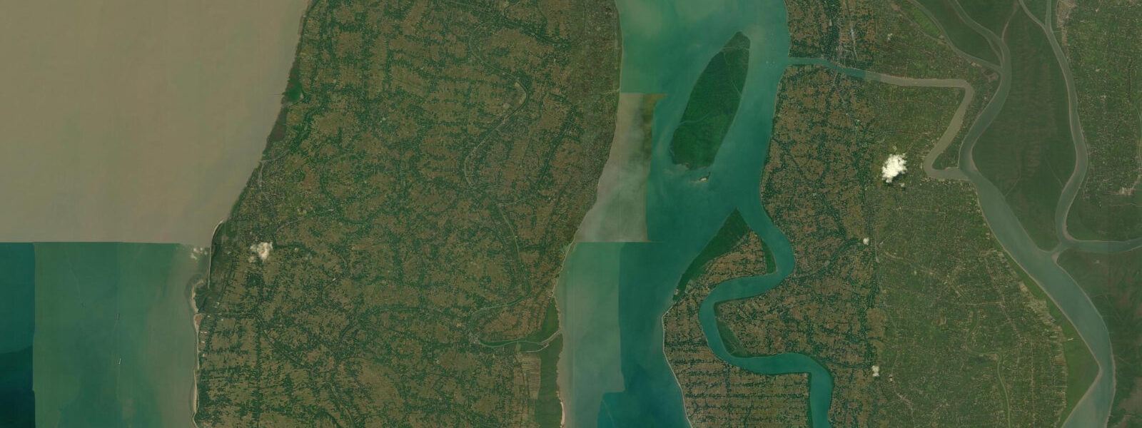
Sagar Island stands at the point where the Hooghly river — the westernmost major distributary of the Ganges — finally meets the Bay of Bengal. This confluence, known as Gangasagar, is one of Hinduism's most significant sacred sites: the place where the Ganges, born in the Himalayas and carrying the weight of half a subcontinent's geography, completes its journey. The tidal forces at this river mouth are among the strongest on India's east coast, and they affect everything from the position of the bathing ghats used by pilgrims to the ferry schedule for the island's 200,000 permanent residents.
The tide at Sagar Island is semidiurnal — two high waters and two low waters per day — with a mean range of 4.0 to 5.5 m. This is among the highest ranges on India's entire coastline, produced by the combination of two amplifying factors: the funnel geometry of the northern Bay of Bengal, which concentrates tidal energy as it shallows toward the river mouths, and the Hooghly estuary itself, which constricts and accelerates tidal flow as it narrows northward toward Kolkata and Diamond Harbour. At spring tides, the difference between low water and high water at the southern tip of the island can exceed 5 m — a change visible to the eye as a substantial rise in the river and creek banks surrounding the island.
The Kapil Muni temple at the island's southern tip, the focal point of the Gangasagar pilgrimage, sits at approximately 2.5 m above mean sea level. This elevation places the temple above the daily tidal influence — even at spring high water, the temple complex remains dry under normal conditions. The vulnerability is not the daily tide but cyclonic storm surge. The temple has been rebuilt multiple times following cyclone damage; historical records and local accounts document at least three major rebuilds in the twentieth century following surge events that placed the southern tip of the island under water. The current structure dates from rebuilds after the major cyclones of the 1970s and subsequent events. The combination of large baseline tidal range and potential surge amplification means that a strong cyclone making landfall near Sagar Island could produce a total water level 3–5 m above normal high water — enough to overtop most of the island's land area.
The Gangasagar Mela, held at Makar Sankranti in mid-January each year, is one of the largest religious gatherings in the world. Between 1 and 3 million pilgrims make the journey to Sagar Island to bathe at the river-sea confluence during the auspicious period around 14–15 January. The bathing area is not fixed from year to year — the active confluence channel migrates seasonally as the delta responds to monsoon discharge and tidal scour. Each year, authorities survey the channel position and establish the bathing ghats on the firm sand adjacent to the current main channel. High water during the Mela period in January is at the neap end of the tidal cycle in many years — a deliberate planning consideration, since the bathing crowd can access the confluence zone more safely when the tidal range is smaller and the current less vigorous.
The ferry connection to Sagar Island is tide-dependent. The main route runs from Kachuberia ghat on the mainland to Kheya Ghat on the island's north shore, with smaller services from Harwood Point (Kakdwip). At spring low water, the ferry ghats on both sides are accessed via temporary bamboo walkways that extend as the bank dries out — the ghat itself may be 40–50 m from the waterline at low water. During the Mela, when crowd pressure on the ghats is extreme, tidal timing significantly affects safety at embarkation and disembarkation points.
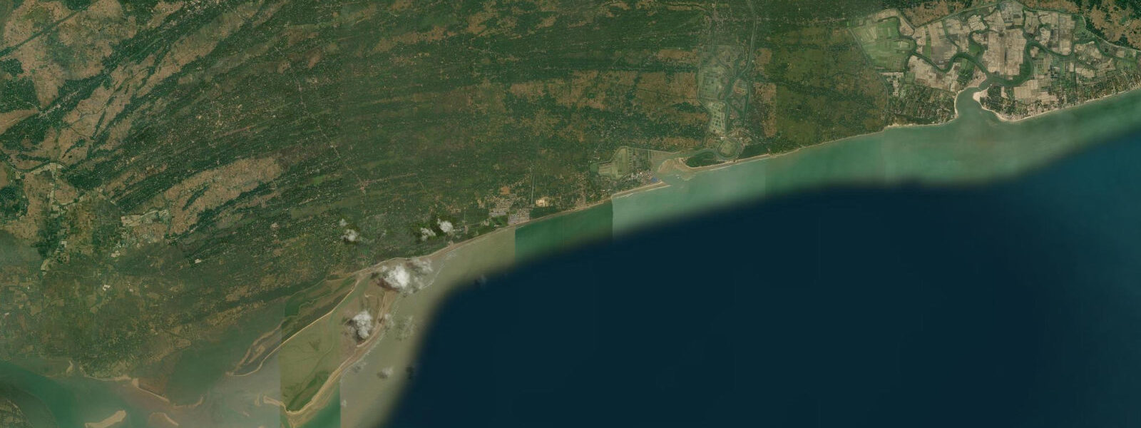
For photographers, the southern tip of Sagar Island — the confluence zone visible from the Kapil Muni temple steps — offers a view of tidal dynamics that is unusual in its scale and clarity. At high water, the boundary between the Hooghly's brown freshwater and the Bay of Bengal's darker water is visible as a colour line shifting position with the tide; at low water the sandbanks around the confluence are exposed, and the channel between them runs visibly fast. The timing of sunrise against the tidal window — low water in the early morning gives exposed sandbanks catching first light; high water at sunrise gives a flat expanse of water reflecting the sky — determines the photographic character of the shot entirely.
Fishing around Sagar Island operates on the strong tidal currents. The mechanised fleet from Diamond Harbour, 60 km north on the Hooghly, runs operations in the near-shore Bay of Bengal; local country boats from Sagar Island's eastern creeks target Hilsa, prawn, and mullet. Hilsa — the prestige fish of the Bengali table — moves up the Hooghly on the flood tide during the post-monsoon season; the most productive fishing positions are on the first flood after the neap low, when Hilsa shoals run shallowest against the current.
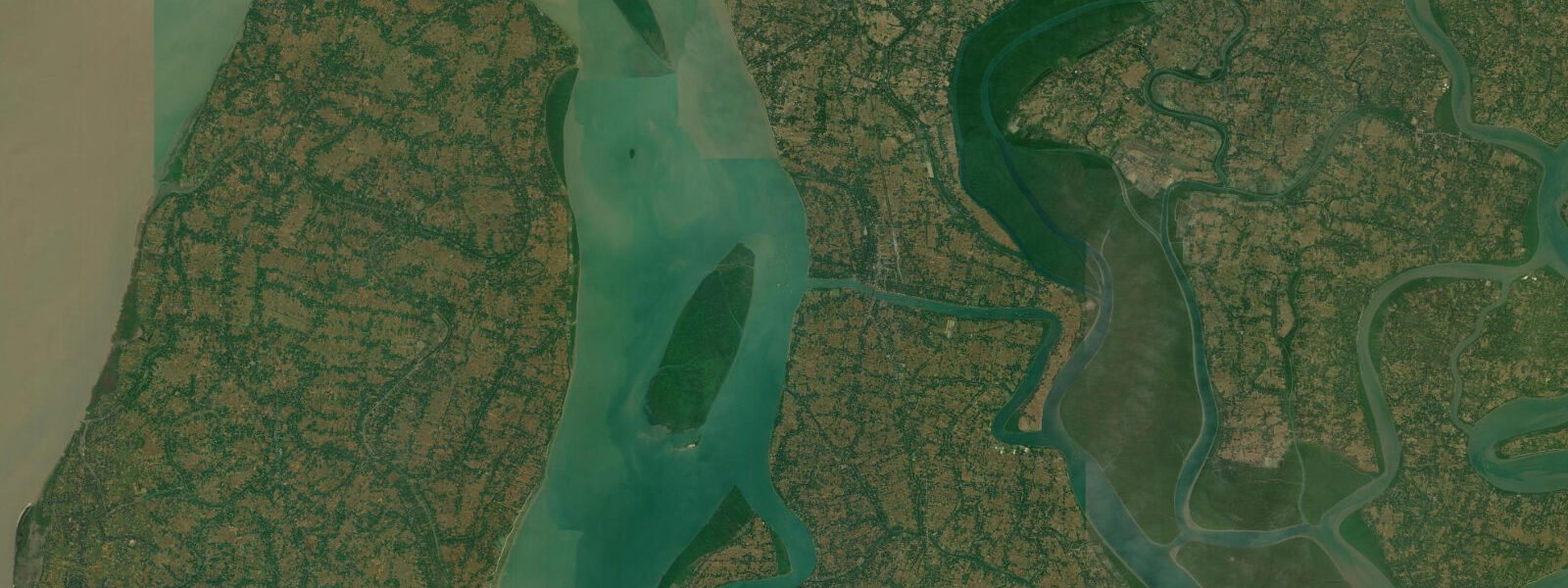
The island's tidal creek network on its northern and eastern edges is navigable by small boat during the upper half of the tide. At low water, the creek mouths dry to mud. Exploring the inner creek system — lined with mangroves and nipa palm — requires timing departure for 1 hour before high water and returning before the ebb exposes the bars.
Tide data for Sagar Island comes from the Open-Meteo Marine API, a gridded model product. Timing accuracy is ±45 minutes, height accuracy ±0.3 m — usable for trip planning, not for navigation.
Tide questions about Sagar Island, West Bengal
Quick answers to the most common questions about tide times, range, and water access at Sagar Island, West Bengal.
What is the tidal range at Sagar Island and why is it so large?
The mean tidal range at Sagar Island is 4.0 to 5.5 m — among the highest on India's east coast. Two factors amplify the range here beyond the Bay of Bengal baseline. First, the funnel shape of the northern Bay of Bengal concentrates tidal energy as it shallows and narrows toward the river mouths; second, the Hooghly estuary constricts the tidal volume as it moves northward, further accelerating the rise and fall. At spring tides in the post-monsoon period, the difference between low and high water can exceed 5 m at the island's southern tip. The large range means tidal currents in the main Hooghly channel and at the confluence are strong — ferries and fishing boats time their passages carefully to avoid the peak ebb and flood.
How does the tide affect the Gangasagar Mela pilgrimage bathing?
The Gangasagar Mela at Makar Sankranti (around 14–15 January each year) draws 1–3 million pilgrims to bathe at the Hooghly–Bay of Bengal confluence. The bathing ghat position is adjusted each year because the active confluence channel migrates seasonally — authorities survey the channel each November and establish ghats on the firm sand adjacent to the current main flow. Tidal timing matters for safety: the current at the confluence runs at 2–3 knots on a strong ebb or flood, and bathing in the main channel during peak tidal flow is hazardous for weaker swimmers. The 1–2 hour window around slack water near high tide is when the current is least vigorous and the main bathing typically concentrates.
Is Sagar Island safe to visit during cyclone season?
Sagar Island carries genuine cyclone storm surge risk during the active seasons (April–June pre-monsoon and October–November post-monsoon). The island's average elevation is 3–5 m above mean sea level, and the Kapil Muni temple at its southern tip sits at approximately 2.5 m. A major cyclone making landfall near the island mouth could produce total water levels 3–5 m above normal high water, putting most of the island's low-lying land under water — a scenario documented in the twentieth-century cyclone record. During cyclone season, monitor India Meteorological Department Bay of Bengal advisories. If a system develops within 500 km, check evacuation guidance immediately — the island's ferry-dependent access makes early departure essential.
How does the ferry to Sagar Island work with the tides?
The main ferry route runs from Kachuberia ghat on the mainland to Kheya Ghat on the island's north shore; a secondary route operates from Harwood Point (Kakdwip). At spring low water, the ghat approach on both sides may be 40–50 m from the water's edge, accessed via temporary bamboo walkways extended as the bank dries. At high water, embarkation is direct and quick. Ferry schedules are published by the West Bengal Surface Transport Corporation and are intended to run across the tidal cycle, but actual departure times at low water depend on passenger loading across the walkways — allow extra time during the lowest tides. During the Gangasagar Mela, government-run additional ferry services operate continuously; the ghat crowd management is tidal-state dependent.
What fishing takes place around Sagar Island?
Hilsa is the prestige target in the Hooghly below Sagar Island. The fish move upriver on the post-monsoon flood tide from August through October, and the most productive positions are worked on the first strong flood after neap low water, when Hilsa shoals run shallow against the current in the main channel. Local country boats from the island's eastern creek settlements target Hilsa, prawn, and mullet using gill nets set across the current on the flood. The mechanised fleet operating out of Diamond Harbour, 60 km north, runs deeper Bay of Bengal operations for croaker and pomfret. The strong tidal currents at the confluence zone mean net-setting requires precise positioning to avoid losing gear on the ebb.
8-day tide table — Sagar Island, West Bengal
Heights relative to MSL. Predictions: Open-Meteo Marine (MeteoFrance SMOC, 0.08° grid) — heights relative to MSL (not chart datum / LAT). Model-derived.
| Day | Type | Time | Height |
|---|---|---|---|
| Fri 19 Jun | Low | 05:30 | -0.9m |
| High | 11:47 | 2.7m | |
| Low | 18:19 | -0.8m | |
| Sat 20 Jun | High | 00:14 | 2.3m |
| Low | 06:24 | -0.7m | |
| High | 12:36 | 2.5m | |
| Low | 19:07 | -0.8m | |
| Sun 21 Jun | High | 01:12 | 2.1m |
| Low | 07:14 | -0.5m | |
| High | 13:30 | 2.2m | |
| Low | 19:51 | -0.6m | |
| Mon 22 Jun | High | 02:10 | 1.8m |
| Low | 08:05 | -0.3m | |
| High | 14:31 | 1.9m | |
| Low | 20:38 | -0.5m | |
| Tue 23 Jun | High | 03:14 | 1.7m |
| Low | 09:02 | -0.1m | |
| High | 15:30 | 1.7m | |
| Low | 21:27 | -0.3m | |
| Wed 24 Jun | High | 04:20 | 1.8m |
| Low | 10:05 | -0.0m | |
| High | 16:36 | 1.6m | |
| Low | 22:31 | -0.2m | |
| Thu 25 Jun | High | 05:25 | 1.8m |
| Low | 11:22 | 0.0m | |
| High | 17:42 | 1.6m | |
| Low | 23:41 | -0.3m | |
| Fri 26 Jun | High | 04:30 | 1.4m |