Digha, West Bengal tide times
Digha, West Bengal tide forecast — heights relative to MSL.
Today's tide times for Digha, West Bengal
Tide times at Digha, West Bengal on Friday, 19 June 2026: first low tide at 05:30, first high tide at 11:44, second low tide at 18:12. Sunrise 04:57, sunset 18:24.
Tide chart for Digha, West Bengal
24-hour cosine-interpolated curve around the present moment. Heights relative to MSL. Predictions: Predictions: Open-Meteo Marine (MeteoFrance SMOC, 0.08° grid).
Sun, moon and conditions on Fri 19 Jun
Snapshot at build time — refreshes daily. Sea state from Open-Meteo Marine.
Highs and lows next 7 days
Every predicted high and low for the next week, with the daily tidal coefficient (0–120; higher = bigger swing, > 95 means stronger currents).
Other spots nearby
The three closest curated TideTurtle locations to Digha, West Bengal, measured by great-circle distance.
Today's solunar windows
Solunar tradition: major periods are the ≈3h windows around moon transit and opposition; minor are ≈2h around moonrise and moonset. Pair with the local tide stage and wind for the best read.
Cycle dates near Digha, West Bengal
Last spring tide on Fri 19 Jun (range 3.5m). Next neap on Thu 25 Jun.
Spring tides cluster around new and full moons (biggest swings). Neap tides land on quarter moons (smallest swings). See the spring tide and neap tide glossary entries for the why.
About tides at Digha, West Bengal
A short guide to the coastline at Digha, West Bengal — geography, sea state, and what the tide is actually doing under your feet.
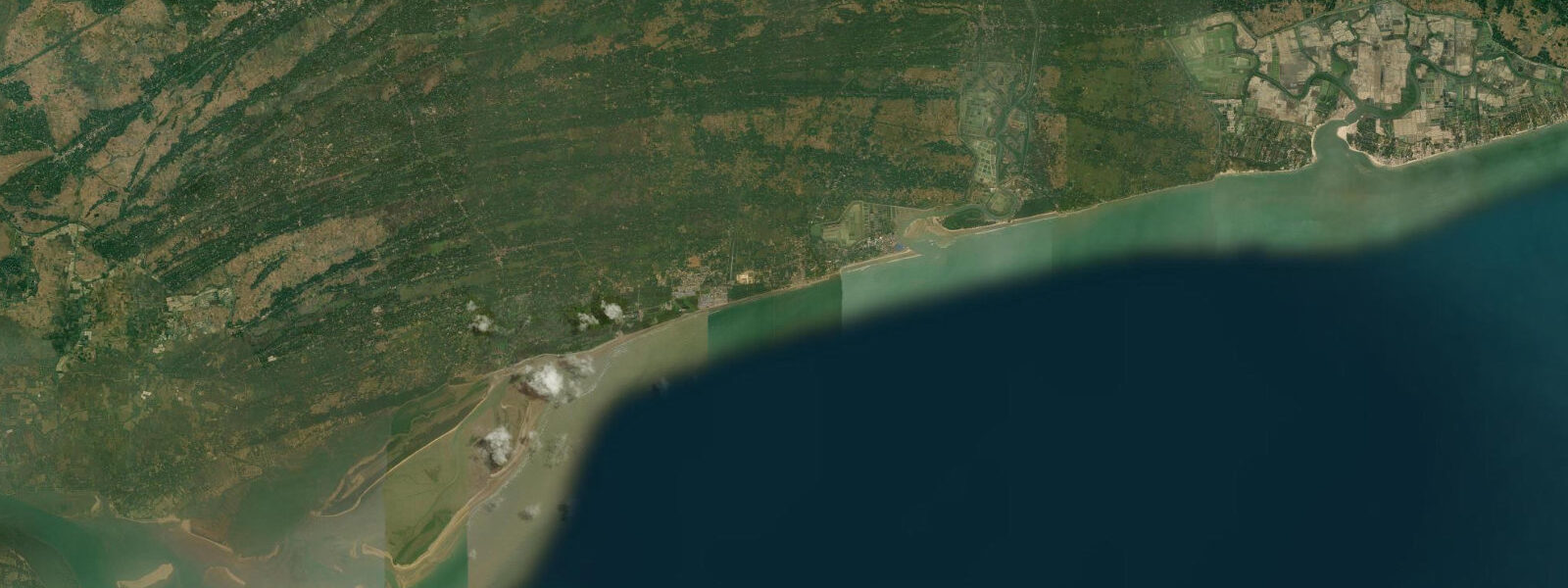
Digha is West Bengal's most visited beach destination, 185 km southwest of Kolkata, and the thing that sets it apart from most of India's resort beaches is the tide. The Bay of Bengal semidiurnal tide at Digha runs 3.5 to 4.5 m — a range that transforms the beach between high and low water in a way that visitors not expecting it find startling. At high water there is barely any dry sand; waves push to within a few metres of the concrete promenade. Six hours later, 300–400 m of flat wet sand is exposed, stretching toward a line of water barely visible from the seafront.
That transformation is not a hazard — it is the defining feature of the coast. Understanding when the tide is coming in and going out is the single most useful thing any visitor to Digha can know.
High water at Digha typically lasts 45–60 minutes at a relatively stable level before the ebb begins. The ebb runs for roughly 6 hours and is strongest in the first 2–3 hours, draining the broad flat quickly. Low water holds for a similar brief window before the flood returns. The timing shifts by approximately 50 minutes later each day, which means a low-water window that falls at 08:00 on one day falls near 09:00 the following morning. For activities that depend on the exposed flat — shellfish collecting, beach walking, the Mandarmani beach-road — the low-water timing governs the entire plan.
The tidal flat at Digha is productive for shellfish. The 2–3 hours around low water expose the muddy-sand zone where small clams, cockles, and shore crabs concentrate in the upper sediment layer. Local collectors — most of them women working in family groups — spread across the flat within minutes of the water receding to the point where the sand is firm enough to walk on. Collection is by hand and small rake; the clams are carried in baskets and sold at the seafront market by early afternoon. For visiting families, this is one of the few places in India where the mechanics of tidal food production are visible from the beach promenade without needing a boat.
Shankarpur fishing harbour, 15 km east along the coast, handles the mechanised fleet that does the serious offshore work. The trawlers targeting prawn and croaker in the Bay of Bengal depart on the ebb tide — usually in the early pre-dawn hours — and return on the flood, typically arriving between 14:00 and 18:00 depending on the season and the day's fishing grounds. The harbour entrance is tide-sensitive; boats time their passage to arrive with at least 1.5 m of water over the bar. The landing activity at Shankarpur is worth a visit in the afternoon when the fleet returns — the unloading, icing, and auction sequence runs quickly and the volume of catch from a productive day is substantial.
Mandarmani beach, 20 km northeast of Digha, has a specific and well-known feature: during low water, the beach is firm enough and wide enough to drive on for approximately 20 km. In effect, the exposed tidal flat functions as a highway for the 3–4 hours around low water. Local vehicles — including resort cars and tourist taxis — use the beach as a road between Mandarmani and neighbouring beach settlements. The window is governed by the same tidal cycle as Digha, with low water typically producing driveable conditions from about 1.5 hours after the ebb begins until roughly 1 hour before the flood returns the water. Attempting the beach-road near the end of the driveable window is a common mistake — the flood tide advances quickly across a flat beach, and vehicles caught by the incoming water have had to be abandoned.
For photographers, the Digha tidal cycle offers two interesting windows. The hour before low water, when the flat is still draining and shallow pools remain on the exposed sand, produces reflective light that the full-ebb dry flat does not. The hour before high water, when the sea advances across the flat in thin sheets, creates a different set of geometric conditions. Sunrise at Digha falls to the south-east and catches the wet flat at low water when the tide is out in the early morning — the optimal combination for beach photography.
Seasonal context matters at Digha. The monsoon (June through September) makes beach use impractical; the sea runs grey and heavy surf closes the beach intermittently. The post-monsoon period (October through February) is the best time for beach visits — the tidal range at its largest, the sea calmer, and the shellfish collecting most productive. March and April see increasing heat and the first pre-monsoon storms, but the beach is still usable in the morning hours.
The Digha seafront itself is heavily developed — hotels, stalls, and food vendors run the length of the promenade. The beach to the west of the main access, toward Old Digha, is quieter and the shellfish collecting more active.
Tide data for Digha comes from the Open-Meteo Marine API, a gridded model product. Timing accuracy is ±45 minutes, height accuracy ±0.3 m — usable for trip planning, not for navigation.
Tide questions about Digha, West Bengal
Quick answers to the most common questions about tide times, range, and water access at Digha, West Bengal.
What is the tidal range at Digha and how much does the beach change?
Digha has one of the larger semidiurnal tidal ranges on India's east coast — 3.5 to 4.5 m between low and high water at spring tides. In practical terms, this means the beach changes dramatically over a 6-hour period: at high water, dry sand is minimal and waves reach close to the promenade; at low water, 300–400 m of flat wet sand is exposed. The transformation happens faster than most visitors expect — the flood tide returns quickly across a flat beach. Check the tide chart on this page before arriving for a beach session, and plan to be off the lower flat at least 30 minutes before predicted low water turns to flood.
When is the best time to collect shellfish at Digha beach?
The shellfish collecting window at Digha is the 2–3 hours centred on low water, when the tidal flat is exposed and the sand is firm enough to walk on. Small clams, cockles, and shore crabs concentrate in the upper 10–15 cm of the muddy-sand flat. Local collectors work the flat from the moment the water recedes far enough to walk safely — usually about 45 minutes after the ebb begins in earnest. For visitors wanting to observe the collecting activity, arrive at the beach 1 hour before predicted low water and walk toward Old Digha where local collectors are more active. The clam catch is sold at the seafront market by mid-morning when the low-water window falls in the morning.
How does the Mandarmani beach-road work and when is it driveable?
During low water, the exposed tidal flat at Mandarmani beach — 20 km northeast of Digha — is firm enough and wide enough to drive on for approximately 20 km along the coast. The driveable window opens roughly 1–1.5 hours after the ebb begins in earnest and closes about 1 hour before the flood returns. In total, this is typically a 3–4 hour window centred on low water. The same tidal cycle governs Mandarmani and Digha — check the low-water time on this page and subtract 30 minutes for a conservative start time and add 2.5 hours for the latest safe return. Driving on the beach after the driveable window closes is a genuine risk — the flood advances quickly and vehicles have been stranded by misjudging the turn of the tide.
What is Shankarpur harbour and how does it relate to Digha's fishing?
Shankarpur harbour, 15 km east of Digha, is the main mechanised fishing port serving this stretch of coast. The trawler fleet at Shankarpur targets prawn, croaker, and pomfret in the near-shore Bay of Bengal. Boats depart on the ebb tide in the early pre-dawn hours and return on the afternoon or evening flood — typically arriving between 14:00 and 18:00. The harbour entrance bar requires at least 1.5 m of water for the mechanised fleet to cross safely; captains time arrival to the flood. Visiting Shankarpur in the mid-afternoon during the fleet's return gives a clear view of the tidal landing cycle — the unloading, icing, and harbour-side auction runs over about 2 hours and is accessible to casual visitors.
What is the best season to visit Digha for beach activities?
The post-monsoon period from October through February is the most reliable for beach use at Digha. Tidal range is largest in October–November at spring tides, giving the full beach-exposure effect; the sea is calmer and clearer than during the monsoon; and the shellfish collecting is at its most productive. The monsoon months June through September bring heavy surf and intermittent beach closures — the wide tidal flat that is an asset in calm weather becomes dangerous when swell is running. March and April are transitional — warmer, occasionally stormy pre-monsoon weather, but the beach is usable in the morning hours before heat peaks. Water temperature runs 25–28°C from October through February.
8-day tide table — Digha, West Bengal
Heights relative to MSL. Predictions: Open-Meteo Marine (MeteoFrance SMOC, 0.08° grid) — heights relative to MSL (not chart datum / LAT). Model-derived.
| Day | Type | Time | Height |
|---|---|---|---|
| Fri 19 Jun | Low | 05:30 | -0.9m |
| High | 11:44 | 2.6m | |
| Low | 18:12 | -0.8m | |
| Sat 20 Jun | High | 00:08 | 2.1m |
| Low | 06:21 | -0.7m | |
| High | 12:33 | 2.4m | |
| Sun 21 Jun | Low | 07:17 | -0.4m |
| High | 13:22 | 2.0m | |
| Low | 19:54 | -0.5m | |
| Mon 22 Jun | High | 01:53 | 1.7m |
| Low | 08:10 | -0.2m | |
| High | 14:09 | 1.8m | |
| Low | 20:49 | -0.4m | |
| Tue 23 Jun | High | 02:57 | 1.6m |
| Low | 09:10 | -0.1m | |
| High | 15:03 | 1.5m | |
| Low | 21:43 | -0.3m | |
| Wed 24 Jun | High | 16:17 | 1.5m |
| Low | 22:44 | -0.2m | |
| Thu 25 Jun | High | 05:17 | 1.6m |
| Low | 11:28 | 0.0m | |
| High | 17:33 | 1.5m | |
| Low | 23:46 | -0.3m | |
| Fri 26 Jun | High | 04:30 | 1.4m |