Diamond Harbour tide times
Diamond Harbour tide forecast — heights relative to MSL.
Today's tide times for Diamond Harbour
Tide times at Diamond Harbour on Friday, 31 July 2026: first low tide at 05:30, first high tide at 10:24, second low tide at 16:36, second high tide at 22:38. Sunrise 05:08, sunset 18:18.
Tide chart for Diamond Harbour
24-hour cosine-interpolated curve around the present moment. Heights relative to MSL. Predictions: Predictions: Open-Meteo Marine (MeteoFrance SMOC, 0.08° grid).
Sun, moon and conditions on Fri 31 Jul
Snapshot at build time — refreshes daily. Sea state from Open-Meteo Marine.
Highs and lows next 7 days
Every predicted high and low for the next week, with the daily tidal coefficient (0–120; higher = bigger swing, > 95 means stronger currents).
Other spots nearby
The three closest curated TideTurtle locations to Diamond Harbour, measured by great-circle distance.
Today's solunar windows
Solunar tradition: major periods are the ≈3h windows around moon transit and opposition; minor are ≈2h around moonrise and moonset. Pair with the local tide stage and wind for the best read.
Cycle dates near Diamond Harbour
Last spring tide on Fri 31 Jul (range 4.4m). Next neap on Thu 06 Aug.
Spring tides cluster around new and full moons (biggest swings). Neap tides land on quarter moons (smallest swings). See the spring tide and neap tide glossary entries for the why.
About tides at Diamond Harbour
A short guide to the coastline at Diamond Harbour — geography, sea state, and what the tide is actually doing under your feet.
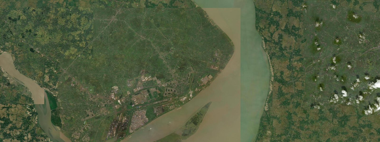
Diamond Harbour sits on the western bank of the Hooghly River, 50 kilometres south of Kolkata, at the point where the river channel begins its final approach to the Bay of Bengal. Here the Hooghly is wide — 1 to 2 km across at most states of the tide — and the tidal signal from the ocean is fully present. Mean spring range at Diamond Harbour is approximately 4 to 5 m. That is a macrotidal river, one that rises and falls by more than the height of a two-storey building twice each day, and everything that happens on this stretch of water — ferry crossings, fishing, boat anchoring, riverside access — is organised around those cycles.
Diamond Harbour was a pilot station for the Kolkata Port Trust for much of the British colonial period, the last point where incoming vessels from the Bay of Bengal took on river pilots who knew the Hooghly's shoals and bends well enough to navigate the 80-kilometre passage upriver to the docks. The channel is notoriously difficult: the Hooghly carries enormous sediment loads from the Ganga and its tributaries, the shoals shift seasonally, and tidal currents in the narrower sections run at several knots. Getting a loaded vessel from Diamond Harbour to Kolkata was, and remains, a tide-dependent operation. Pilots still work the river; the Port Trust maintains continuous dredging to keep the navigation channel open.
The tidal bore — called a bore tide locally, sometimes Bane in historical records — forms in the Hooghly on large spring tides. A bore is a wave of tidal advance that moves upstream as a distinct leading edge rather than a gradual water-level rise; the Hooghly bore is not as dramatic as the Severn Bore in England or the bore on the Qiantang River in China, but it is real. At certain spring tides, particularly after new and full moons when the range peaks, a detectable wave advances up the river against the current, audible before it arrives and strong enough to move moored boats. Local fishers know the bore by the sound of it. The bore is most pronounced in the narrowing reaches upstream of Diamond Harbour, between Falta and Garden Reach; at Diamond Harbour itself the water-level rise is more gradual but the velocity of the incoming tide is still striking.
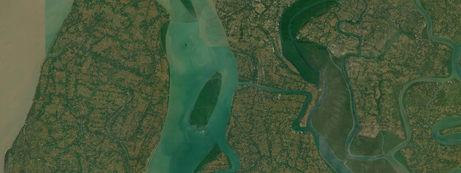
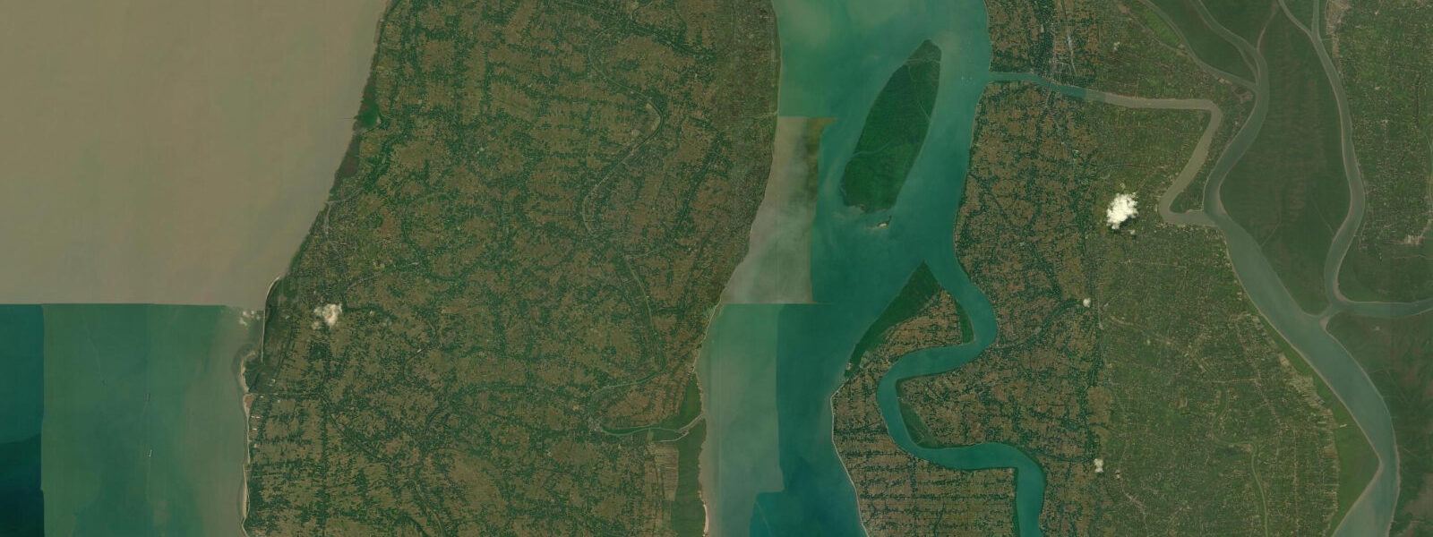
The Sundarbans lie to the east and southeast, beginning at the point where the Hooghly delta system fragments into dozens of distributary channels separated by densely vegetated islands. This mangrove system — roughly 10,000 square kilometres split between India and Bangladesh — is the functional continuation of the tidal regime that runs through Diamond Harbour. The same spring tide that raises the Hooghly 4 to 5 m at Diamond Harbour pushes into the Sundarbans creek network, flushing the mangroves twice daily, carrying nutrients and sediment that sustain the extraordinary productivity of the system: Royal Bengal tigers, estuarine crocodiles, Irrawaddy dolphins, spawning grounds for the Hilsa shad that is both economically and culturally central to Bengali cuisine.
The Hilsa — Tenualosa ilisha — is worth understanding in the context of tidal fishing here. It is the most commercially important fish in West Bengal and Bangladesh, an anadromous species that migrates from the Bay of Bengal into the river system to spawn. The Hooghly between Diamond Harbour and the sea is one of its key spawning migration routes, and the fishing communities along the river time their nets to the tide: gill nets set on the ebb current, hauled on the flood. The timing of the tide and the presence of the bore are practical knowledge passed through fishing communities over generations.
Ferry traffic on the Hooghly at Diamond Harbour connects the western bank at Diamond Harbour town to Maheshtala and Kalaghat on the eastern shore. The ferries are flat-bottomed wooden boats, and the landing ghats — the stone steps leading down to the water — are calibrated to the tidal range. At high tide, the top step might be awash; at low tide, the bottom of the ghat is exposed several metres below the river surface. Passengers embark and disembark at whatever level the river is at when the ferry touches the ghat, and the ferryman reads the current to decide how to approach. Navigation on the Hooghly without understanding the tidal current is not viable.
Access to the Sundarbans for tourism, including boat tours to see tigers and crocodiles from the river channels, is managed through entry permits at Sajnekhali and Canning. These tours operate on tidal windows — the channels through the mangrove forest are navigable at high water and may become too shallow to pass at low water. The wildlife is also more active at certain tidal states: tigers are most often seen on intertidal banks exposed at low water, where they move between islands. The tidal rhythm and the wildlife sighting opportunity are directly connected.
A note on access and safety: the Sundarbans is not a safe area for independent exploration. The combination of Bengal tiger and saltwater crocodile habitat, dense mangrove terrain with no clear navigation landmarks, and the tidal current in the creek system creates conditions where disorientation and dangerous wildlife encounters are both realistic risks. All access to the core zones should be with licensed Sundarbans guides through regulated entry points.
Predictions on this page come from Open-Meteo Marine, a gridded global ocean model — model-derived, not a local gauge, accurate typically within plus or minus 45 minutes on timing and 0.2 to 0.3 m on height. On a coast with a 4 to 5 m spring range, those height errors are proportionally modest. The India Meteorological Department and the Kolkata Port Trust maintain the authoritative Hooghly tide gauge data. For vessel navigation on the Hooghly — where tidal current and channel conditions are operationally critical — the Port Trust's official predictions and pilot service apply.
Tide questions about Diamond Harbour
Quick answers to the most common questions about tide times, range, and water access at Diamond Harbour.
What is the tidal range at Diamond Harbour on the Hooghly River?
Mean spring range at Diamond Harbour runs approximately 4 to 5 m — macrotidal, meaning the river rises and falls by more than four metres twice each day. That range is large enough to expose and submerge several metres of the riverside ghats on each cycle, and it drives the tidal current through the Hooghly channel at several knots at peak flow. Spring tides around new and full moons push toward the top of the range; neap tides two weeks later are noticeably smaller. The India Meteorological Department and the Kolkata Port Trust maintain the authoritative tide gauge data for this stretch of the Hooghly.
Does the Hooghly River have a tidal bore?
Yes. A tidal bore forms in the Hooghly on large spring tides, when the incoming tidal surge advances upstream as a distinct leading wave rather than a gradual water-level rise. At Diamond Harbour the bore is a noticeable but not extreme event — the tidal rise is rapid and the advancing wave is audible to riverside communities before it arrives. The bore is most pronounced in the narrowing reaches upstream toward Falta and Garden Reach. The conditions that produce it (large spring tides, the funnel geometry of the lower Hooghly) are the same ones that make the river difficult to navigate without local knowledge. Local fishing communities have read the bore and the tidal current as practical tools for generations.
Is the Sundarbans accessible from Diamond Harbour for wildlife tourism?
Diamond Harbour is one of the southern-most accessible points on the Hooghly before the delta fragments into Sundarbans channels. Regulated wildlife tours into the Sundarbans operate from entry points further east — primarily Canning, Sonakhali, and Sajnekhali — requiring permit registration with the West Bengal Forest Department. These tours are conducted by licensed guides on defined routes and operate around tidal windows: the narrower mangrove channels become impassable at low water, and tigers are most likely to be seen on intertidal banks exposed during the ebb. Independent access to the Sundarbans core zones is not permitted and carries genuine wildlife risk from Bengal tigers and estuarine crocodiles. Do not attempt independent navigation in the Sundarbans creek system.
Where do these tide predictions come from?
Open-Meteo Marine, a free gridded global ocean model — model-derived, not a local gauge. Accuracy is typically within plus or minus 45 minutes on timing and 0.2 to 0.3 m on height. On a river with a 4 to 5 m spring range, the height uncertainty is proportionally small, but the timing uncertainty of 45 minutes matters on a coast where tidal current velocity changes rapidly around the turn. For navigation on the Hooghly River — where commercial vessels, ferries, and the Port Trust pilot service all depend on precise tidal state — the Kolkata Port Trust's official predictions and the IMD gauge data are the authoritative references.
When is the best time to fish for Hilsa on the Hooghly at Diamond Harbour?
Hilsa (Tenualosa ilisha) migrate from the Bay of Bengal into the Hooghly river system to spawn, and the peak migration runs broadly from June through September — which coincides with the monsoon season and the river's highest flow period. Fishing communities along the Hooghly at Diamond Harbour target Hilsa with gill nets timed to the tidal ebb, when the outgoing current carries the fish into the nets. Fishing is restricted during the Hilsa breeding moratorium periods, which the West Bengal government has expanded in recent years to protect the stock during peak spawning. Check current regulations before planning any commercial or recreational fishing activity. The ebb tide window is consistently the productive period, regardless of season.
8-day tide table — Diamond Harbour
Heights relative to MSL. Predictions: Open-Meteo Marine (MeteoFrance SMOC, 0.08° grid) — heights relative to MSL (not chart datum / LAT). Model-derived.
| Day | Type | Time | Height |
|---|---|---|---|
| Fri 31 Jul | Low | 05:30 | -0.6m |
| High | 10:24 | 3.4m | |
| Low | 16:36 | -0.8m | |
| High | 22:38 | 3.0m | |
| Sat 01 Aug | Low | 04:46 | -1.0m |
| High | 10:52 | 3.3m | |
| Low | 17:12 | -1.0m | |
| High | 23:04 | 2.9m | |
| Sun 02 Aug | Low | 05:25 | -1.0m |
| High | 11:20 | 3.1m | |
| Low | 17:46 | -1.1m | |
| High | 23:30 | 2.8m | |
| Mon 03 Aug | Low | 06:02 | -1.0m |
| High | 11:45 | 2.8m | |
| Low | 18:21 | -1.0m | |
| Tue 04 Aug | High | 12:18 | 2.6m |
| Wed 05 Aug | Low | 07:20 | -0.6m |
| High | 12:49 | 2.3m | |
| Low | 19:34 | -0.8m | |
| Thu 06 Aug | High | 01:36 | 2.2m |
| Low | 08:02 | -0.4m | |
| High | 13:54 | 2.0m | |
| Low | 20:21 | -0.6m | |
| Fri 07 Aug | High | 03:39 | 2.1m |