Kovalam, Kerala tide times
Kovalam, Kerala tide forecast — heights relative to MSL.
Today's tide times for Kovalam, Kerala
Tide times at Kovalam, Kerala on Friday, 19 June 2026: first high tide at 05:30, first low tide at 08:20, second high tide at 15:17. Sunrise 06:04, sunset 18:41.
Tide chart for Kovalam, Kerala
24-hour cosine-interpolated curve around the present moment. Heights relative to MSL. Predictions: Predictions: Open-Meteo Marine (MeteoFrance SMOC, 0.08° grid).
Sun, moon and conditions on Fri 19 Jun
Snapshot at build time — refreshes daily. Sea state from Open-Meteo Marine.
Highs and lows next 7 days
Every predicted high and low for the next week, with the daily tidal coefficient (0–120; higher = bigger swing, > 95 means stronger currents).
Other spots nearby
The three closest curated TideTurtle locations to Kovalam, Kerala, measured by great-circle distance.
Today's solunar windows
Solunar tradition: major periods are the ≈3h windows around moon transit and opposition; minor are ≈2h around moonrise and moonset. Pair with the local tide stage and wind for the best read.
Cycle dates near Kovalam, Kerala
Last spring tide on Fri 19 Jun (range 0.8m). Next neap on Sat 20 Jun.
Spring tides cluster around new and full moons (biggest swings). Neap tides land on quarter moons (smallest swings). See the spring tide and neap tide glossary entries for the why.
About tides at Kovalam, Kerala
A short guide to the coastline at Kovalam, Kerala — geography, sea state, and what the tide is actually doing under your feet.
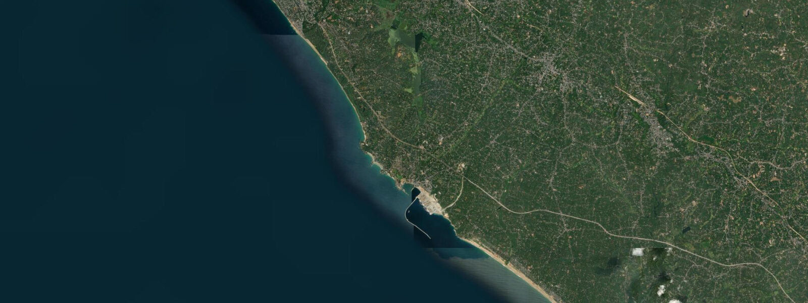
Kovalam sits 16 km south of Thiruvananthapuram, tucked into three crescent-shaped coves separated by two rocky headlands that jut into the Arabian Sea. The arrangement creates three distinct beaches — Lighthouse Beach to the south, Hawa Beach in the centre, and Eve's Beach to the north — each with a slightly different exposure and character. Most visitors end up on Lighthouse Beach, where the working lighthouse at the south headland marks the sky and a strip of fish restaurants lines the sand.
The first thing anyone checking tide times notices about this stretch of coast is how small the numbers are. Mean spring range here is 0.5–0.8 m, rising to perhaps 0.9 m on big spring tides. Compare that to Mumbai, 1,400 km north, where the spring range exceeds 4.0 m, or even Mangalore, 600 km north, at around 1.5 m. The Kerala coast sits in a tidal minimum produced by the geometry of the Indian Ocean resonance system. The Indian Ocean is a semi-enclosed basin open only at its southern end, and its natural resonance period does not align well with the dominant tidal forcing frequencies. The co-tidal lines — lines of equal tidal phase — converge on an amphidromic point in the central Arabian Sea, a location of near-zero tidal amplitude. Kerala lies in the shadow of that amphidromic system, so even though the coast faces open ocean, the tide barely moves. For anyone planning a beach day, this is practical information: the waterline shifts by only 20–40 m between low and high water on Lighthouse Beach. The beach character does not transform with the tide the way it does on the Konkan coast or the Bay of Bengal shores.
Semidiurnal rhythm still applies — two highs and two lows per day, roughly six hours apart. A low water at 07:30 is followed by high near 13:30, then low again around 19:30. On a 0.6 m range day, high water reads roughly 0.7 m above chart datum, low water around 0.1 m. The numbers are small, but the timing still matters: a morning low water on Lighthouse Beach exposes the full width of firm sand, good for walking the waterline from the southern headland north toward the centre cove. By early afternoon, high water pushes the sea back to within a few metres of the beach shacks.
Lighthouse Beach carries the most swell exposure because the southern headland deflects some wave energy but the cove mouth faces southwest — directly into the fetch of the Arabian Sea's summer and pre-monsoon swells. Hawa Beach and Eve's Beach are progressively more sheltered, the northern headland between them blocking the worst of the refracted swell. Swimmers who find Lighthouse Beach choppy on a windy day usually find Hawa calmer.
The lighthouse itself — an 1972 structure, painted in the red-and-white diagonal bands of an operational navigational aid — stands at the south headland and is open to visitors in the afternoons. The view from the gallery confirms the three-cove layout and gives a clear reading of the headland geometry that creates the beach's protected character.
Four kilometres north along the coast, the construction site of Vizhinjam International Seaport has been visible from the water since 2015 and is now moving toward commissioning. The port is being built by Adani Ports as one of India's first purpose-built transshipment hubs, with a design depth of 20 m capable of handling the largest container vessels currently trading. The breakwater construction has altered the coastal sediment transport patterns in the immediate vicinity, and some observers have noted changes in sand distribution on the Kovalam beaches since construction intensified. That relationship is not fully mapped, but it is worth tracking. From Lighthouse Beach on a clear day, the port's construction infrastructure — cranes, breakwater rock armour — is visible to the north.
Fishing boats launch from a small zone at the north end of Hawa Beach in the early morning, before the tourist traffic builds. The catch is handled and sold from the beach directly; the activity is concentrated between 05:30 and 07:30 on most days.
Above the beach strip, Kovalam town runs along the ridge, and the cultural centres staging Kathakali performances operate in the evenings — the performances are timed for the tourist accommodation strip, not for tide.
Tide data for Kovalam, Kerala comes from the Open-Meteo Marine API, a gridded model product. Timing accuracy is ±45 minutes, height accuracy ±0.3 m — usable for trip planning, not for navigation.
Tide questions about Kovalam, Kerala
Quick answers to the most common questions about tide times, range, and water access at Kovalam, Kerala.
Why is the tidal range at Kovalam so small compared to other Indian beaches?
Kovalam sits in a zone of tidal minimum caused by the resonance geometry of the Arabian Sea. The Arabian Sea's natural oscillation period does not match the dominant tidal frequencies, and an amphidromic point — a location of near-zero tidal amplitude — exists in the central Arabian Sea. The Kerala coastline falls in the low-amplitude shadow of that system. The result is a mean spring range of 0.5–0.8 m. Mumbai, by contrast, sits on a very different part of the Indian coast and sees spring ranges above 4.0 m. For visitors, the practical effect is that Kovalam's beaches do not change dramatically with the tide — the waterline shifts 20–40 m, not 100–150 m.
Which of the three Kovalam coves is best for swimming at high water?
Hawa Beach and Eve's Beach are both more sheltered than Lighthouse Beach at high water, because the headlands between the coves deflect the dominant southwest swell. On days with moderate swell — typical for the dry season (October to May) — Lighthouse Beach is swimmable at any tide state, but conditions at the other coves are consistently gentler. At high water on Lighthouse Beach, the sea reaches close to the shack line. The small tidal range (0.5–0.8 m) means there is rarely a dramatic difference in wave activity between high and low water here; wave action is driven more by offshore swell and wind than by the tide itself.
When is the best time of day to walk the full length of Lighthouse Beach?
Low water is the practical choice. On a day with low water at 07:00–08:00, the beach is at its widest — up to 60–70 m of firm sand between the shack line and the sea edge — and the morning light is good for photographs toward the lighthouse at the south headland. With the Kerala tidal range at 0.5–0.8 m, there is no extreme exposure at low water, but the bottom of the sand slope is accessible for the full length of the cove. The beach returns to its narrower high-water width within six hours, so a morning walk at low tide is the best window before the heat builds and the beach crowds by 09:30.
How is the Vizhinjam port construction affecting Kovalam beach?
Vizhinjam International Seaport, 4 km north of Kovalam, is under construction as one of India's first deep-water container transshipment hubs. Port construction involves large breakwater structures that modify the longshore sediment transport — the natural movement of sand along the coast driven by waves arriving at an angle. Some changes in sand distribution on the northern end of the Kovalam beach system have been observed since construction intensified. The full long-term sediment impact will depend on final breakwater orientation and port operations. The construction site and breakwater are visible from the northern end of Kovalam's beach strip on clear days.
Is the Kovalam lighthouse open to visitors, and does the tide affect access?
The Kovalam lighthouse is open to visitors on most afternoons, typically from around 15:00 to 17:00, though the exact schedule can vary. It sits on the southern headland at the end of Lighthouse Beach. Access is via a path from the south end of the beach — the headland base is not affected by tidal inundation given the small local range (0.5–0.8 m). The lighthouse is an operational navigational aid, painted in the standard red-and-white diagonal pattern, and the viewing gallery gives a clear view of all three Kovalam coves and, on a clear day, the Vizhinjam port construction site to the north.
8-day tide table — Kovalam, Kerala
Heights relative to MSL. Predictions: Open-Meteo Marine (MeteoFrance SMOC, 0.08° grid) — heights relative to MSL (not chart datum / LAT). Model-derived.
| Day | Type | Time | Height |
|---|---|---|---|
| Fri 19 Jun | High | 05:30 | 0.3m |
| Low | 08:20 | 0.1m | |
| High | 15:17 | 0.8m | |
| Sat 20 Jun | Low | 22:36 | 0.1m |
| Sun 21 Jun | High | 04:24 | 0.5m |
| Low | 09:40 | 0.2m | |
| High | 16:17 | 0.7m | |
| Low | 23:15 | 0.1m | |
| Mon 22 Jun | High | 05:36 | 0.5m |
| Low | 10:20 | 0.3m | |
| High | 16:48 | 0.7m | |
| Low | 23:50 | 0.1m | |
| Tue 23 Jun | High | 17:15 | 0.6m |
| Wed 24 Jun | — | ||
| Thu 25 Jun | Low | 01:40 | 0.1m |
| High | 09:45 | 0.6m | |
| Fri 26 Jun | Low | 02:30 | 0.0m |