Neil Island tide times
Neil Island tide forecast — heights relative to MSL.
Today's tide times for Neil Island
Tide times at Neil Island on Saturday, 27 June 2026: first high tide at 06:36, first low tide at 13:09, second high tide at 18:54. Sunrise 04:56, sunset 17:45.
Tide chart for Neil Island
24-hour cosine-interpolated curve around the present moment. Heights relative to MSL. Predictions: Predictions: Open-Meteo Marine (MeteoFrance SMOC, 0.08° grid).
Sun, moon and conditions on Sat 27 Jun
Snapshot at build time — refreshes daily. Sea state from Open-Meteo Marine.
Highs and lows next 7 days
Every predicted high and low for the next week, with the daily tidal coefficient (0–120; higher = bigger swing, > 95 means stronger currents).
Other spots nearby
The three closest curated TideTurtle locations to Neil Island, measured by great-circle distance.
Today's solunar windows
Solunar tradition: major periods are the ≈3h windows around moon transit and opposition; minor are ≈2h around moonrise and moonset. Pair with the local tide stage and wind for the best read.
Cycle dates near Neil Island
Next spring tide on Thu 02 Jul (range 1.7m). Last neap on Sat 27 Jun.
Spring tides cluster around new and full moons (biggest swings). Neap tides land on quarter moons (smallest swings). See the spring tide and neap tide glossary entries for the why.
About tides at Neil Island
A short guide to the coastline at Neil Island — geography, sea state, and what the tide is actually doing under your feet.
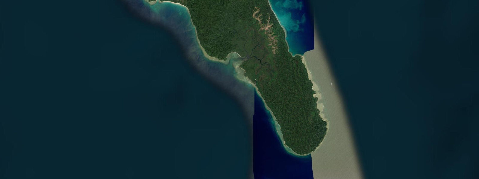
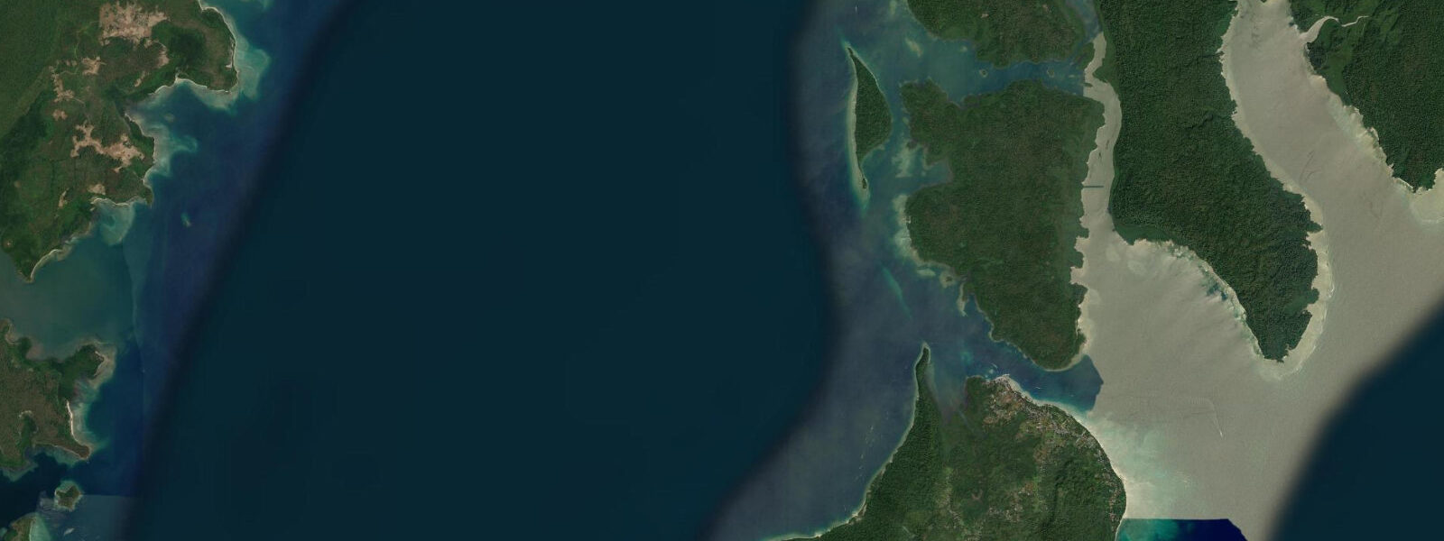
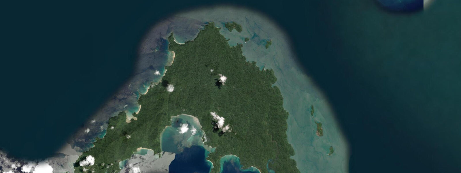
Neil Island — officially Shaheed Dweep since 2018 — is the smallest of the three main Andaman tourist islands, 35 kilometres north of Port Blair and 37 kilometres south of Havelock. At 18 square kilometres, it is easy to circumnavigate by bicycle in a single morning, which is the standard way residents and visitors move between its five named beaches and the small bazaar village at the north jetty. The island's compact scale gives it a distinct character from Havelock: less infrastructure, quieter beaches, more direct access to the reef.
The tidal range at Neil Island is 2.5–3.0 m on spring tides, semidiurnal. The most dramatic tidal feature on the island is the Natural Bridge on the southeast coast — a coral rock arch spanning approximately 4 metres, formed by differential erosion of the ancient raised coral limestone. The arch sits at the low-water mark on spring tides and is fully accessible, dry underfoot, for 2–3 hours centred on low spring water. At mid-tide and above, the arch is surrounded by 0.5–1.5 m of water and requires wading to reach. At high spring water it is not accessible on foot without swimming. The Natural Bridge is the island's signature photograph and draws visitors specifically for the low-tide window.
Bharatpur Beach on the north coast, adjacent to the main jetty, is Neil Island's most-used snorkelling beach. The coral reef here is a shallow fringing reef starting 30–50 metres from the waterline, with coral heads at 1–3 m depth at mid-tide. The snorkelling is accessible to beginners — no strong currents and no navigation required — with a fish community that includes parrotfish, triggerfish, sergeant majors, and occasional sea turtles that feed on the reef vegetation. The best window is 1 hour before to 2 hours after high water on neap tides, when the reef is at its deepest, the current is minimal, and the afternoon light is declining but adequate. During the spring ebb the current runs across Bharatpur's reef fast enough to push snorkellers sideways; beginners should avoid this window.
Laxmanpur Beach on the west coast faces the Andaman Sea directly and is the island's sunset beach. The wide intertidal zone at Laxmanpur is fully sandy — no rock or coral in the intertidal zone — and the low-water flat extends 60–80 m at low spring water. Unlike Radhanagar on Havelock, there is no strong surf here: Laxmanpur faces into the relatively sheltered water between Neil and Havelock to the northwest, and the prevailing wind fetch is limited. The beach is calm enough for children to swim at mid-tide and above. The southwest monsoon (May–September) pushes low swell onto Laxmanpur from the northwest; October through April the beach is at its calmest.
Sitapur Beach on the east coast is the island's sunrise beach. It faces northeast across the passage toward Havelock and catches the first light before any other beach on the island. The reef fronting Sitapur is deeper than Bharatpur — the outer reef edge drops to 5–8 m at mid-tide — and is used for scuba diving and snorkelling by more confident swimmers. Tidal current on the Sitapur reef runs in the northeast–southwest direction of the inter-island passage, reaching 1.5–2.5 knots at peak spring. Snorkelling is best at neap slack water; diving operators from the island plan for the current.
For anglers, Neil Island's compact reef system gives shore-fishing access from the rocky points at the south and southeast coast. The Natural Bridge area at low spring water is a productive location for shallow-reef species — parrotfish, surgeonfish, and goatfish — with the exposed rock platform giving easy casting access to the outer reef edge. The passage between Neil and Havelock sees significant tidal flow and is fished by boat from the Neil jetty for the pelagic species that move through on the current.
For photographers, the Natural Bridge at low spring water on a calm morning is the primary subject. The arch frames the sky and the passage water behind it; the low-water exposure lasts 2–3 hours, giving time to work different angles before the tide covers the approach path. Bharatpur Beach at dawn before the ferry from Port Blair arrives gives undisturbed beach and reef photography. Laxmanpur at sunset with the Havelock silhouette visible to the northwest produces consistent results in the October–April dry season.
All tide predictions for Neil Island come from the Open-Meteo Marine gridded model. Timing accuracy is ±45 minutes; height accuracy is ±0.3 m above Chart Datum.
Tide questions about Neil Island
Quick answers to the most common questions about tide times, range, and water access at Neil Island.
When is the Natural Bridge accessible and how long is the low-tide window?
Neil Island's Natural Bridge is accessible on foot, dry underfoot, for approximately 2–3 hours centred on low spring water. The arch sits at approximately 0.3 m above Chart Datum and is exposed whenever the predicted height drops below that mark. Plan to arrive 60�–75 minutes before predicted low water. At mid-tide (approximately 1.2–1.5 m), the arch is surrounded by 0.5–1.0 m of water requiring wading. At high spring water it is not safely accessible on foot. Open-Meteo predictions carry ±45 minutes and ±0.3 m uncertainty — on marginal tidal states, add 30 minutes to the predicted low time.
Which beach on Neil Island is best for beginner snorkellers?
Bharatpur Beach at the north jetty is the best beginner snorkelling site. The reef starts 30–50 m from the waterline, with coral heads at 1–3 m depth at mid-tide, no strong currents on neap tides, and no navigation complexity. Fish species include parrotfish, triggerfish, and sea turtles. The best window is 1 hour before to 2 hours after high water on neap tides. Avoid the spring ebb — the current across the reef flat runs fast enough to push beginners sideways. Equipment hire is available at the jetty. Sitapur Beach's reef suits confident snorkellers but has 1.5–2.5 knot tidal currents unsuitable for beginners.
Is Neil Island suitable for families with children?
Neil Island works well for families. Laxmanpur Beach on the west coast is the calmest swimming beach, facing a sheltered stretch of water between Neil and Havelock, with no significant surf at most tidal states outside the May–September monsoon. The water at mid-tide and above is 0.5–1.5 m deep within 30 m of shore — suitable for supervised wading and swimming. Bharatpur Beach's snorkelling is accessible for children who are confident swimmers and have snorkelling experience. The island's compact size means all five beaches are within 6 km of the jetty — reachable by bicycle or auto-rickshaw. The single bazaar village has guesthouses, restaurants, and equipment hire. Open-Meteo predictions carry ±45 minutes and ±0.3 m uncertainty.
What shore fishing is available on Neil Island and when is it most productive?
The rocky points on Neil Island's south and southeast coast — accessible from Sitapur Beach and the Natural Bridge area at low water — give the best shore-fishing access. Parrotfish, surgeonfish, goatfish, and snapper work the shallow reef edge; the exposed platform at low spring water puts the outer reef at casting range. The 2-hour window around low spring water is the peak period. The inter-island passage between Neil and Havelock, fished by boat from the Neil jetty, produces barracuda and jack species on the tidal current — the ebb phase is most productive for current-fishing.
What are the sea conditions for the ferry crossing from Port Blair to Neil Island?
The government ferry from Port Blair to Neil Island (approximately 2 hours) crosses open water with the final section through the passage between Neil and Havelock. Sea state is influenced by tidal current in the main passage (1.5–3.0 knots on spring tides) and by wind and swell. The worst combination is a spring ebb against a southwest swell (May–September); the calmest conditions are neap tides in the October–April dry season. The ferries run in all but the roughest conditions; check sea-state forecasts from the Port Blair harbourmaster if travelling May–September. Open-Meteo predictions carry ±45 minutes and ±0.3 m uncertainty.
8-day tide table — Neil Island
Heights relative to MSL. Predictions: Open-Meteo Marine (MeteoFrance SMOC, 0.08° grid) — heights relative to MSL (not chart datum / LAT). Model-derived.
| Day | Type | Time | Height |
|---|---|---|---|
| Sat 27 Jun | High | 06:36 | 1.3m |
| Low | 13:09 | 0.1m | |
| High | 18:54 | 1.0m | |
| Sun 28 Jun | Low | 00:50 | 0.1m |
| High | 07:17 | 1.4m | |
| Low | 13:48 | 0.1m | |
| High | 19:36 | 1.1m | |
| Mon 29 Jun | Low | 01:31 | 0.0m |
| High | 07:56 | 1.5m | |
| Low | 14:24 | -0.0m | |
| High | 20:13 | 1.1m | |
| Tue 30 Jun | Low | 02:07 | -0.0m |
| High | 08:33 | 1.5m | |
| Low | 14:56 | -0.0m | |
| High | 20:52 | 1.2m | |
| Wed 01 Jul | Low | 02:45 | -0.0m |
| High | 09:09 | 1.6m | |
| Low | 15:28 | -0.1m | |
| High | 21:24 | 1.2m | |
| Thu 02 Jul | Low | 03:15 | -0.1m |
| High | 09:37 | 1.6m | |
| Low | 16:03 | -0.1m | |
| High | 21:56 | 1.2m | |
| Fri 03 Jul | Low | 03:47 | -0.1m |
| High | 10:11 | 1.6m | |
| Low | 16:31 | -0.1m | |
| High | 22:33 | 1.2m | |
| Sat 04 Jul | Low | 04:30 | 0.0m |