Patreksfjörður tide times
Patreksfjörður tide forecast — heights relative to MSL.
Today's tide times for Patreksfjörður
Tide times at Patreksfjörður on Saturday, 27 June 2026: first low tide at 00:00, first high tide at 05:08, second low tide at 11:27, second high tide at 17:35. Sunrise 02:16, sunset 01:01.
Tide chart for Patreksfjörður
24-hour cosine-interpolated curve around the present moment. Heights relative to MSL. Predictions: Predictions: Open-Meteo Marine (MeteoFrance SMOC, 0.08° grid).
Sun, moon and conditions on Sat 27 Jun
Snapshot at build time — refreshes daily. Sea state from Open-Meteo Marine.
Highs and lows next 7 days
Every predicted high and low for the next week, with the daily tidal coefficient (0–120; higher = bigger swing, > 95 means stronger currents).
Other spots nearby
The three closest curated TideTurtle locations to Patreksfjörður, measured by great-circle distance.
Today's solunar windows
Solunar tradition: major periods are the ≈3h windows around moon transit and opposition; minor are ≈2h around moonrise and moonset. Pair with the local tide stage and wind for the best read.
Cycle dates near Patreksfjörður
Next spring tide on Wed 01 Jul (range 2.9m). Last neap on Sat 27 Jun.
Spring tides cluster around new and full moons (biggest swings). Neap tides land on quarter moons (smallest swings). See the spring tide and neap tide glossary entries for the why.
About tides at Patreksfjörður
A short guide to the coastline at Patreksfjörður — geography, sea state, and what the tide is actually doing under your feet.
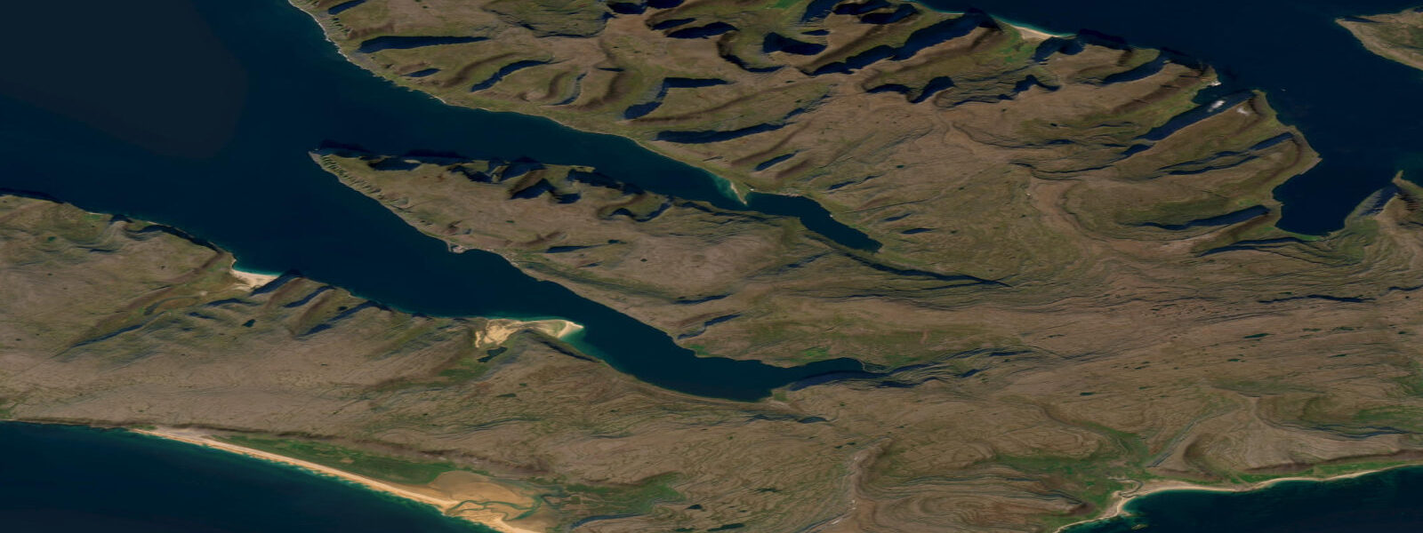
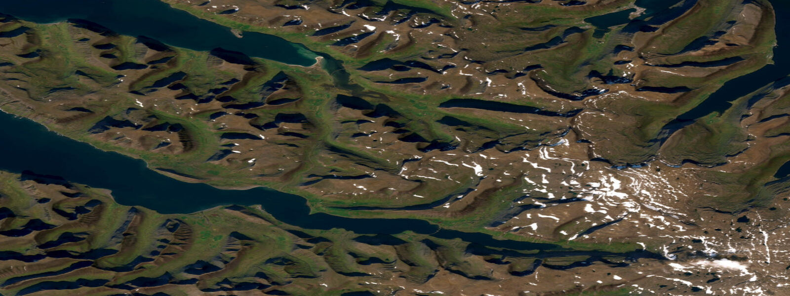
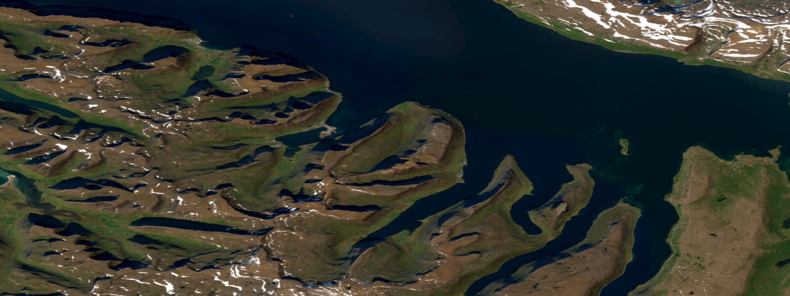
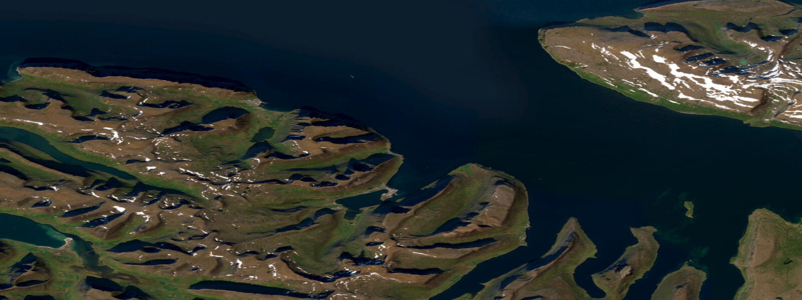
Patreksfjörður is a town of around 700 on the outer southern rim of the Westfjords peninsula, in the fjord of the same name. The town sits at the head of a 25 km long fjord opening to the south-southwest, making it one of the more accessible Westfjords communities from Reykjavík (approximately 6–7 hours by road, or 1 hour by small plane). The fjord name derives from Saint Patrick (Pátrúkur in Icelandic), who is said to have sheltered here on a voyage north from Ireland — a reminder that the Celtic sea connection to the Westfjords predates Norse settlement.
The tidal regime at Patreksfjörður is semidiurnal with a spring range of approximately 3.3 m above Chart Datum. Mean high water springs is around 2.6 m; mean low water springs drops to roughly 0.3–0.5 m. Neap range narrows to 1.3–1.6 m. The fjord opens to the south-southwest and receives the full North Atlantic tidal signal; the range is slightly less than at Ísafjörður (3.5 m) due to the more direct south-facing orientation rather than the amplification that occurs in the longer, more enclosed northern fjords. The tidal current in the inner fjord is gentle — 0.3–0.7 knots in the main basin; the outer fjord mouth where the depth shallows can see 1.5–2.0 knots on springs.
Rauðisandur beach, 20 km northwest of Patreksfjörður town, is one of Iceland's most unusual natural features: a 10 km beach of red-orange sand formed from crushed scallop and sea-shell fragments, at the base of the Rauðanes cliffs facing southwest across the open Denmark Strait. The 3.3 m tidal range at Rauðisandur produces a dramatic beach profile change: at spring low water the red sand flat extends several hundred metres beyond the high-water mark; at spring high water the red band narrows and the ocean pushes close to the cliff base in some sections. The beach is backed by the Látrabjarg bird cliffs to the west — the westernmost point in Iceland and Europe, and the largest seabird cliff in Iceland (14 km long, 441 m at its highest).
Látrabjarg (30 km west of Patreksfjörður) is the most significant wildlife destination accessible from the town. The cliff top path along the 14 km face gives access to some of the most intense concentration of seabirds in the North Atlantic: razorbills, guillemots, kittiwakes, fulmars, and puffins in the millions. Puffins nest in burrows within 1 m of the cliff edge path and approach to within touching distance (which is prohibited). The tidal state is not directly relevant to bird watching from the cliff top, but the tidal flat below Rauðisandur and the rock platforms at the cliff base are used by turnstone, purple sandpiper, and wading birds on the ebb.
Fishing from Patreksfjörður targets cod and haddock in the fjord and on the shallow banks at the fjord mouth, and the outer Iceland continental shelf fisheries accessible by larger boats. The inner fjord is sheltered and the current is gentle; small-boat fishing in the fjord interior is viable at all tidal stages. The fjord mouth and the outer banks are best fished on the spring ebb when the current is running and fish are feeding actively.
All tide predictions for Patreksfjörður come from the Open-Meteo Marine gridded model. Timing accuracy is ±45 minutes; height accuracy is ±0.3 m above Chart Datum.
The Brjánslækur ferry terminal, 15 km east of Patreksfjörður on the inner Patreksfjörður shore, is the departure point for the Baldur car ferry crossing to Stykkishólmur on the Snæfellsnes peninsula — a 3-hour crossing through the Breiðafjörður archipelago, one of the most spectacular short ferry routes in Iceland. The Breiðafjörður is dotted with approximately 3,000 islands, skerries, and reefs; the tidal current through the inter-island passages is 1.0–2.5 knots on springs. The ferry navigates these passages using the local tidal current tables maintained by the Breiðafjörður pilots; passengers on the upper deck can observe the current lines and eddies in the passages during the crossing. The ferry is a practical transport link for Westfjords circuit travellers but also a scenic attraction in its own right.
Tide questions about Patreksfjörður
Quick answers to the most common questions about tide times, range, and water access at Patreksfjörður.
What is the tidal range at Patreksfjörður and how does it affect Rauðisandur beach?
Patreksfjörður has a semidiurnal spring tidal range of approximately 3.3 m above Chart Datum. At Rauðisandur beach, 20 km northwest of the town, this range produces a dramatic change in the red sand flat extent: at spring low water the flat extends several hundred metres beyond the high-water mark; at spring high water the ocean pushes close to the cliff base in some sections. The widest and most photogenic beach exposure is on spring low tides in the early morning. Neap range narrows to 1.3–1.6 m. Tide predictions carry ±45 minutes timing uncertainty and ±0.3 m height uncertainty.
What wildlife can be seen at Látrabjarg cliffs near Patreksfjörður?
Látrabjarg is Iceland's largest seabird cliff — 14 km long, up to 441 m high, the westernmost point of Iceland and Europe. Millions of razorbills, common guillemots, Brünnich's guillemots, kittiwakes, fulmars, and puffins nest on the cliff face from May through August. Puffins nest in burrows at the cliff edge path and approach within touching distance of stationary visitors (touching them is prohibited). The cliff top path is the viewing route; the tidal state affects the rock platforms and sandy cove below for wading bird activity but not the cliff-nesting seabirds directly. Arrive by 08:00 to avoid the worst of the summer visitor traffic.
Is Rauðisandur beach accessible year-round?
Rauðisandur is accessible by a 4WD or standard car on the gravel road from Patreksfjörður (20 km, approximately 40 minutes). In winter (November–March), the road can be blocked by snow or ice; check road conditions with the Icelandic Road and Coastal Administration (Vegagerðin) before departing. The beach itself is accessible at any tidal stage — the 3.3 m spring range means the beach does not flood in the same way a low-lying sand spit would, but portions of the beach narrowed by high spring tides can be wet and slippery. The most striking photography conditions are morning light on the red sand with the Látrabjarg cliffs in the western background.
What fishing is available from Patreksfjörður?
Cod and haddock are the primary targets in the inner Patreksfjörður fjord and on the shallow banks at the fjord mouth. Small-boat fishing inside the fjord is viable at all tidal stages — the 0.3–0.7 knot inner current is manageable. The fjord mouth and outer banks are best fished on the spring ebb when the current runs at 1.5–2.0 knots and fish feed actively on the current edges. The outer Iceland continental shelf fisheries west of the Westfjords require larger vessels and weather windows. Angling licences and boat hire are available from the town; confirm current regulations with the Westfjords Regional Development agency.
Is Patreksfjörður a good base for exploring the southern Westfjords?
Patreksfjörður is the best base for the southern Westfjords region, which includes Rauðisandur beach, Látrabjarg cliffs, the fossil-rich Brjánslækur shore, and the Dynjandi waterfall (70 km northeast). The town has accommodation, a supermarket, and a fuel station — the only reliable services in this part of the Westfjords. The Baldur ferry from Brjánslækur (15 km east of Patreksfjörður) crosses to Stykkishólmur on the Snæfellsnes peninsula; this is an important route for anyone driving the Westfjords circuit without backtracking to Reykjavík.
7-day tide table — Patreksfjörður
Heights relative to MSL. Predictions: Open-Meteo Marine (MeteoFrance SMOC, 0.08° grid) — heights relative to MSL (not chart datum / LAT). Model-derived.
| Day | Type | Time | Height |
|---|---|---|---|
| Sat 27 Jun | Low | 00:00 | -1.4m |
| High | 05:08 | 0.2m | |
| Low | 11:27 | -1.5m | |
| High | 17:35 | 0.7m | |
| Sun 28 Jun | Low | 00:07 | -1.5m |
| High | 05:49 | 0.3m | |
| Low | 12:06 | -1.6m | |
| High | 18:15 | 0.9m | |
| Mon 29 Jun | Low | 00:46 | -1.5m |
| High | 06:27 | 0.5m | |
| Low | 12:44 | -1.6m | |
| High | 18:50 | 0.9m | |
| Tue 30 Jun | Low | 01:20 | -1.7m |
| High | 07:09 | 0.5m | |
| Low | 13:17 | -1.7m | |
| High | 19:26 | 1.0m | |
| Wed 01 Jul | Low | 01:55 | -1.9m |
| High | 07:46 | 0.5m | |
| Low | 13:47 | -1.8m | |
| High | 20:01 | 1.1m | |
| Thu 02 Jul | Low | 14:22 | -1.9m |
| High | 20:39 | 0.9m | |
| Fri 03 Jul | Low | 02:59 | -1.9m |
| High | 08:56 | 0.5m | |
| Low | 14:56 | -1.8m | |
| High | 21:12 | 0.9m | |
| Low | 23:00 | 0.4m |