Ísafjörður tide times
Ísafjörður tide forecast — heights relative to MSL.
Today's tide times for Ísafjörður
Tide times at Ísafjörður on Saturday, 27 June 2026: first low tide at 00:00, first high tide at 06:20, second low tide at 12:19, second high tide at 18:42.
Tide chart for Ísafjörður
24-hour cosine-interpolated curve around the present moment. Heights relative to MSL. Predictions: Predictions: Open-Meteo Marine (MeteoFrance SMOC, 0.08° grid).
Sun, moon and conditions on Sat 27 Jun
Snapshot at build time — refreshes daily. Sea state from Open-Meteo Marine.
Highs and lows next 7 days
Every predicted high and low for the next week, with the daily tidal coefficient (0–120; higher = bigger swing, > 95 means stronger currents).
Other spots nearby
The three closest curated TideTurtle locations to Ísafjörður, measured by great-circle distance.
Today's solunar windows
Solunar tradition: major periods are the ≈3h windows around moon transit and opposition; minor are ≈2h around moonrise and moonset. Pair with the local tide stage and wind for the best read.
Cycle dates near Ísafjörður
Next spring tide on Wed 01 Jul (range 1.8m). Last neap on Sat 27 Jun.
Spring tides cluster around new and full moons (biggest swings). Neap tides land on quarter moons (smallest swings). See the spring tide and neap tide glossary entries for the why.
About tides at Ísafjörður
A short guide to the coastline at Ísafjörður — geography, sea state, and what the tide is actually doing under your feet.
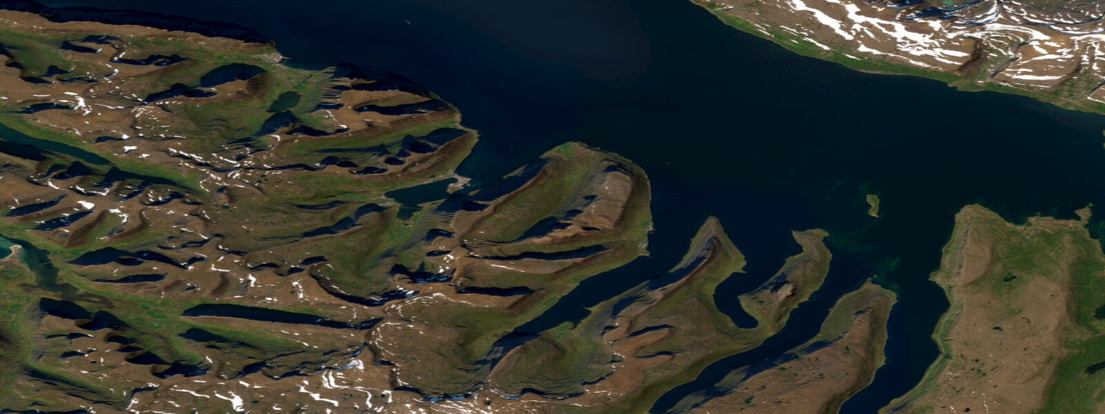
Ísafjörður is the Westfjords' largest town, tucked into Skutulsfjörður — a short, tight side-fjord branching off the larger Ísafjarðardjúp. The tidal regime is semidiurnal with a spring range of around 4.0 m at the town quay. That is a significant range: at low water springs, the harbour basin exposes two metres of weed-covered concrete piling below the dock cleat, and the tidal current through the fjord's constriction at Bolungarvíkuráll — the narrow between Ísafjörður and Bolungarvík — runs at 1.5–2 knots at spring mid-tide. Timing matters here in a way it simply does not on a 1 m tidal coast.
The ferry to Hornstrandir Nature Reserve departs from the town pier, and departure timing is managed to make the approach to the Hornstrandir landing beaches on the flood tide. The beaches at Hlöðuvík and Hesteyri on the reserve's south shore are backed by tidal lagoons that fill and drain over the cycle; landing a small boat on the ebb requires hauling it well clear of the waterline as the tide drops another 1.5 m after you arrive. If you are planning an independent kayak or RIB trip to Hornstrandir, build your schedule around the flood for the inbound leg. The reserve has no permanent residents — the seasonal ferry runs roughly June through August.
Arctic foxes den on the tidal foreshore at several points along the Hornstrandir coast and around the outer headlands near Ísafjörður. The foxes are habituated to the intertidal zone and feed on beached invertebrates, birds' eggs, and carrion, working the foreshore most actively in the two hours following low water when the full inter-tidal strip is exposed. In summer they are active in the midnight sun; in winter the foreshore is mostly frozen, but the foxes remain year-round.
Kayaking in Skutulsfjörður and Ísafjarðardjúp is excellent from May through September. The inner fjord at high water gives a glassy surface with the town's brightly coloured corrugated-iron houses reflecting in the water — the classic Ísafjörður photograph. On the ebb, the outer reaches of Ísafjarðardjúp develop a chop when northwest wind opposes the falling tide; plan your outbound leg on the flood if conditions look uncertain. Rental kayaks are available from Westfjords Adventures in the town centre.
Arctic char fishing in the rivers draining into Skutulsfjörður is tidal-phase sensitive only at the river mouths, where sea-run char move on the flood. Cod fishing from the town pier is productive on the flood tide, particularly in the first two hours after low water when cod follow the tide in off the deeper shelf. The bottom is mixed gravel and shell, and cod are taken on jigs at 8–15 m depth off the pier end.
Beluga whale sightings in Ísafjörður are rare but documented — the fjord is deep enough to attract them when they stray south from their more normal Svalbard-area range. Most sightings are in August and September, unpredictable and not tidal. The inner fjord's sheltered water means any large marine mammal moving in on the flood is easier to spot from the pier than from open water.
Midnight sun runs from late May through mid-July. The low Arctic sun at midnight illuminates the fjord walls at a flat angle that photographers find exceptional. The best foreground for a low-tide midnight-sun shot is the weed-exposed piling zone on the inner harbour's north quay — the kelp and bladderwrack in the foreground, the mountain behind lit orange. At high water the same scene is a simple water reflection, also good but less textured.
Tidal predictions here use the Open-Meteo Marine gridded model (±45 minutes on timing, ±0.3 m on height). Not for navigation.
Tide questions about Ísafjörður
Quick answers to the most common questions about tide times, range, and water access at Ísafjörður.
What is the tidal range at Ísafjörður and how does it affect harbour access?
Spring range at Ísafjörður is around 4.0 m. At low water springs, the harbour exposes roughly 2 m of pilings below dock level. All commercial berths in the main harbour have sufficient depth at low water for the vessels they serve — the harbour was built to function across the full tidal range. For small inflatable boats and kayaks, launching from the slipway is easiest in the two hours around high water when the slope is shorter. At low water springs, the slip extends a long way down and dragging a loaded kayak up the exposed ramp is strenuous.
How do I time a trip to Hornstrandir by kayak from Ísafjörður?
Plan your outbound crossing to arrive at the Hornstrandir beaches on a rising tide. The beaches at Hlöðuvík and Hesteyri have tidal lagoons that drain significantly on the ebb — landing and pulling a kayak clear of the waterline at low water requires hauling across 40–60 m of exposed flat. On the flood, you can land much closer to the vegetation line. With a 4 m range, the difference between high and low water landing conditions is very significant. The crossing from Ísafjörður takes 3–5 hours depending on conditions; check tide tables and plan departure to arrive 1–2 hours before high water at your landing beach.
When is the best time to see Arctic foxes near Ísafjörður?
Arctic foxes are present year-round in the Westfjords and are most visible in the coastal tidal zone in the two hours after low water, when the intertidal strip is fully exposed and they forage for invertebrates and birds' eggs. Summer is the most productive time to look — the midnight sun means you can watch at any hour. The headlands east of Ísafjörður toward Bolungarvík have resident fox families. Hornstrandir has the highest density in Iceland. The foxes there have minimal fear of humans and will approach within a few metres during the nesting season.
Is cod fishing productive from the Ísafjörður pier?
Yes. Cod move inshore on the flood tide at Ísafjörður, and the first two hours after low water are consistently the most productive window from the town pier. Bottom is mixed gravel and shell at 8–15 m off the pier end; standard cod jigs work well. Haddock and occasional wolffish (catfish) are also taken from the pier. Fishing is legal from public quays without a licence in Iceland. The pier is accessible at all tide stages, though at low water springs the drop to the water surface is roughly 4 m, making landing fish that are not lip-hooked more difficult.
What is the current speed at the Bolungarvíkuráll narrows?
Tidal current through the Bolungarvíkuráll constriction — the narrow between Ísafjörður and Bolungarvík — runs approximately 1.5–2.0 knots at spring mid-tide. This is manageable for most motorised vessels but is a meaningful consideration for kayakers: paddling against 2 knots of current in a loaded sea kayak will give slow progress and is tiring over a sustained distance. Plan to pass through the narrows on slack water or the early favourable tide. Spring tides produce the stronger currents; neap tides reduce the flow to well under 1 knot and the narrows become straightforward to transit at any state.
7-day tide table — Ísafjörður
Heights relative to MSL. Predictions: Open-Meteo Marine (MeteoFrance SMOC, 0.08° grid) — heights relative to MSL (not chart datum / LAT). Model-derived.
| Day | Type | Time | Height |
|---|---|---|---|
| Sat 27 Jun | Low | 00:00 | -1.1m |
| High | 06:20 | -0.1m | |
| Low | 12:19 | -1.2m | |
| High | 18:42 | 0.2m | |
| Sun 28 Jun | Low | 01:01 | -1.2m |
| High | 07:00 | -0.1m | |
| Low | 12:58 | -1.3m | |
| High | 19:26 | 0.3m | |
| Mon 29 Jun | Low | 01:39 | -1.1m |
| High | 07:38 | 0.1m | |
| Low | 13:39 | -1.2m | |
| High | 19:55 | 0.4m | |
| Tue 30 Jun | Low | 02:21 | -1.2m |
| High | 08:12 | 0.1m | |
| Low | 14:14 | -1.2m | |
| High | 20:27 | 0.4m | |
| Wed 01 Jul | Low | 02:58 | -1.3m |
| High | 08:47 | 0.0m | |
| Low | 14:44 | -1.3m | |
| High | 21:06 | 0.5m | |
| Thu 02 Jul | Low | 03:33 | -1.3m |
| High | 09:16 | 0.0m | |
| Low | 15:21 | -1.4m | |
| High | 21:40 | 0.4m | |
| Fri 03 Jul | Low | 04:07 | -1.4m |
| High | 09:56 | -0.0m | |
| Low | 15:55 | -1.3m | |
| High | 22:12 | 0.4m |