Dyrafjörður tide times
Dyrafjörður tide forecast — heights relative to MSL.
Today's tide times for Dyrafjörður
Tide times at Dyrafjörður on Saturday, 27 June 2026: first low tide at 00:00, first high tide at 05:54, second low tide at 12:02, second high tide at 18:26.
Tide chart for Dyrafjörður
24-hour cosine-interpolated curve around the present moment. Heights relative to MSL. Predictions: Predictions: Open-Meteo Marine (MeteoFrance SMOC, 0.08° grid).
Sun, moon and conditions on Sat 27 Jun
Snapshot at build time — refreshes daily. Sea state from Open-Meteo Marine.
Highs and lows next 7 days
Every predicted high and low for the next week, with the daily tidal coefficient (0–120; higher = bigger swing, > 95 means stronger currents).
Other spots nearby
The three closest curated TideTurtle locations to Dyrafjörður, measured by great-circle distance.
Today's solunar windows
Solunar tradition: major periods are the ≈3h windows around moon transit and opposition; minor are ≈2h around moonrise and moonset. Pair with the local tide stage and wind for the best read.
Cycle dates near Dyrafjörður
Next spring tide on Wed 01 Jul (range 2.3m). Last neap on Sat 27 Jun.
Spring tides cluster around new and full moons (biggest swings). Neap tides land on quarter moons (smallest swings). See the spring tide and neap tide glossary entries for the why.
About tides at Dyrafjörður
A short guide to the coastline at Dyrafjörður — geography, sea state, and what the tide is actually doing under your feet.
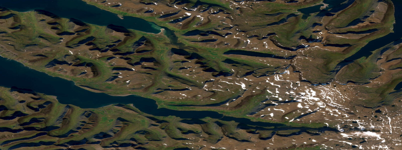
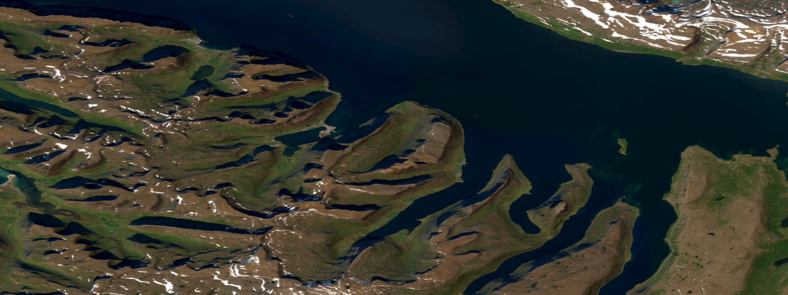
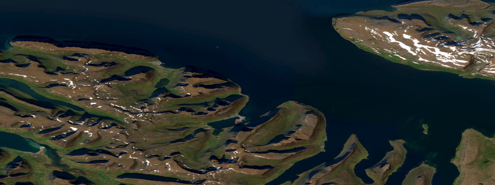
Dyrafjörður opens to the southwest between steep basalt ridges, one of the most dramatically proportioned fjords in the Westfjords. Spring tidal range here is around 4.1 m — marginally the largest of the three Westfjords places on this site, reflecting the fjord's direct south-westerly exposure to the incoming Atlantic tidal wave. The semidiurnal pattern delivers two clear highs and two lows per day. The constriction at Svalvogaeyri, roughly 8 km from the fjord mouth, produces tidal currents of up to 2 knots at spring mid-tide — significant enough to be felt in a loaded sea kayak and to require timing on a small-engine RIB.
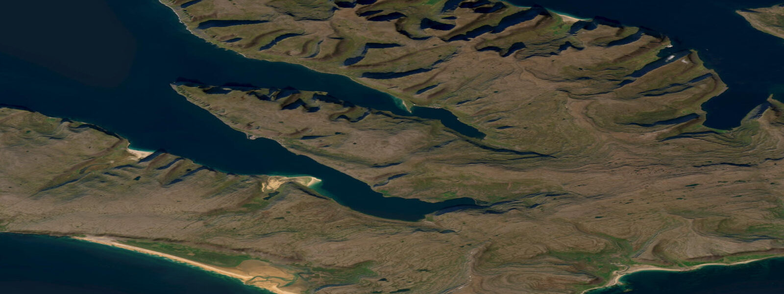
Flateyri, the main village, sits on the south shore on a two-kilometre sand and gravel spit delta. The delta was not formed by normal river deposition: it is the material deposited by the avalanche of 20 October 1995, when a snow slide from Böðmóðshnúkur above the village crossed the fjord and pushed a mass of debris into the sea, simultaneously destroying 29 houses and extending the coastline by 150–200 m. The memorial to the 20 victims stands at the spit's apex. At high water springs, the flat spit is only 0.5�–1.0 m above sea level at its lowest points — the relationship between tidal height and the spit geometry is visible and not abstract here.
Þingeyri, at the fjord head 15 km from the mouth, is the oldest trading post in the Westfjords — a church, a handful of houses, and a small harbour. At low water springs with a 4.1 m range, the fjord head dries for several hundred metres around the delta of the river entering at Þingeyri. The approach by kayak must be timed to arrive before the last two hours of the ebb unless you want to drag your hull across exposed gravel.
Puffins nest on the sea cliffs of the Kirkjuból headland on the north shore, opposite Flateyri. The colony is visible from the water from May through August. The best viewing is from a kayak or small boat positioned 50–100 m off the cliff base at mid-tide, when the cliff-base boulders are partly submerged and the puffins are landing and departing from their burrow entrances without obstruction. At low water, a ledge extends from the cliff base and the birds must fly a longer approach. Guillemot, razorbill, and fulmar share the cliff with the puffins.
Wolffish — known in Iceland as steinbítur, catfish in English — are the target species for sea anglers in Dyrafjörður. They are a bottom predator that feeds on sea urchins and shellfish in rocky ground, and they are present year-round in the 10–25 m zone. The most productive fishing is on the first half of the flood, from low water to mid-flood, when wolffish move onto the rocky shoulders at the fjord sides. A heavy jig or whole squid on a running ledger is the standard rig; the fish run to 6–10 kg in these waters. Cod are also taken in the same areas on the same rigs.
The sea cliffs between Flateyri and Svalvogaeyri on the south shore offer mixed-grade hiking with views over the full tidal cycle. The lower path sections cross intertidal ground between Flateyri and the first headland — plan the crossing for mid-tide or above. At low water springs, a kelp-covered bench at the base of the first headland is impassable without getting wet; at mid-tide it is a dry scramble.
Photographers find Dyrafjörður exceptional at high water on clear evenings when the fjord walls reflect perfectly in the surface. The Flateyri spit gives a foreground of almost-sea-level land with the north wall cliffs 2 km across the water. At low water, the foreground becomes exposed gravel flat — a different, rawer composition. Both states are worth the trip.
Tidal predictions here use the Open-Meteo Marine gridded model (±45 minutes on timing, ±0.3 m on height). Not for navigation.
Tide questions about Dyrafjörður
Quick answers to the most common questions about tide times, range, and water access at Dyrafjörður.
What is the tidal current at the Svalvogaeyri narrows in Dyrafjörður?
The constriction at Svalvogaeyri produces currents of approximately 2 knots at spring mid-tide. This is the strongest tidal current of the three Westfjords places listed on this site. For kayakers, timing the passage through the narrows on a slack or early flood is strongly recommended — paddling against 2 knots of current in a loaded sea kayak is possible but slow and tiring. For motorised small boats with engines above 10 hp, the current is manageable at any state. Spring tides produce the stronger flows; neap tides reduce the current to under 1 knot.
What is the significance of the Flateyri sand spit and its relation to tides?
The Flateyri spit is material deposited by the catastrophic avalanche of October 1995, which extended the coastline 150–200 m into the fjord. The spit sits only 0.5–1.0 m above sea level at its lowest points. At high water springs — with a 4.1 m range — the sea reaches almost to the base of the protective avalanche barriers built after the disaster. The memorial to the 20 victims stands at the spit's outer edge. The relationship between tidal height and spit elevation here is more visible than on most coasts, making it a stark illustration of what tidal range means in a practical sense.
When is the best time to see puffins at Kirkjuból?
Puffins are at the Kirkjuból cliff colony from late April through early August, with peak activity in June and July. The best viewing is from a kayak or small boat 50–100 m off the cliff base at mid-tide or above, when the cliff-base ledge is submerged and approaching birds have a clear flight path to their burrow entrances. At low water, the exposed ledge disrupts the approach lines and the birds are more scattered. Morning is better than afternoon — the cliff faces southwest and is in shadow by mid-afternoon. Guillemot, razorbill, and fulmar share the cliff.
Is wolffish (steinbítur) fishing available in Dyrafjörður?
Wolffish are present year-round in the rocky ground at 10–25 m depth in Dyrafjörður. The most productive window is the first half of the flood, from low water to mid-flood, when they move onto the rocky shoulders at the fjord sides to feed. Fish typically run 4–10 kg in this fjord. A heavy jig or squid on a running ledger is standard. Fishing from a small boat gives access to the best ground off the cliff bases — shore fishing access to the productive rock is limited by the cliff terrain. Cod are taken in the same areas on the same gear.
Can I reach Þingeyri by kayak and how do I time the approach?
Yes — Þingeyri is at the fjord head, roughly 15 km from the mouth. At low water springs, the fjord head dries for several hundred metres around the river delta, and a kayak will ground well before reaching the small harbour quay. Plan your approach to arrive at Þingeyri no later than 2 hours before predicted high water, and leave no earlier than 2 hours after high water, to avoid the last section of ebb when depth at the fjord head drops below 0.5 m. The full day-paddle from Flateyri to Þingeyri and back is 30 km and requires careful tidal planning on both legs.
7-day tide table — Dyrafjörður
Heights relative to MSL. Predictions: Open-Meteo Marine (MeteoFrance SMOC, 0.08° grid) — heights relative to MSL (not chart datum / LAT). Model-derived.
| Day | Type | Time | Height |
|---|---|---|---|
| Sat 27 Jun | Low | 00:00 | -1.2m |
| High | 05:54 | 0.1m | |
| Low | 12:02 | -1.4m | |
| High | 18:26 | 0.4m | |
| Sun 28 Jun | Low | 00:43 | -1.3m |
| High | 06:36 | 0.1m | |
| Low | 12:40 | -1.4m | |
| High | 19:06 | 0.6m | |
| Mon 29 Jun | Low | 01:20 | -1.2m |
| High | 07:09 | 0.3m | |
| Low | 13:19 | -1.4m | |
| High | 19:35 | 0.6m | |
| Tue 30 Jun | Low | 02:00 | -1.4m |
| High | 07:50 | 0.2m | |
| Low | 13:54 | -1.5m | |
| High | 20:07 | 0.6m | |
| Wed 01 Jul | Low | 02:35 | -1.5m |
| High | 08:27 | 0.2m | |
| Low | 14:22 | -1.5m | |
| High | 20:44 | 0.8m | |
| Thu 02 Jul | Low | 03:12 | -1.5m |
| High | 08:54 | 0.2m | |
| Low | 15:00 | -1.6m | |
| High | 21:18 | 0.6m | |
| Fri 03 Jul | Low | 03:43 | -1.5m |
| High | 09:32 | 0.2m | |
| Low | 15:32 | -1.5m | |
| High | 21:51 | 0.6m |