Bolungarvík tide times
Bolungarvík tide forecast — heights relative to MSL.
Today's tide times for Bolungarvík
Tide times at Bolungarvík on Saturday, 27 June 2026: first low tide at 00:00, first high tide at 06:19, second low tide at 12:19, second high tide at 18:42.
Tide chart for Bolungarvík
24-hour cosine-interpolated curve around the present moment. Heights relative to MSL. Predictions: Predictions: Open-Meteo Marine (MeteoFrance SMOC, 0.08° grid).
Sun, moon and conditions on Sat 27 Jun
Snapshot at build time — refreshes daily. Sea state from Open-Meteo Marine.
Highs and lows next 7 days
Every predicted high and low for the next week, with the daily tidal coefficient (0–120; higher = bigger swing, > 95 means stronger currents).
Other spots nearby
The three closest curated TideTurtle locations to Bolungarvík, measured by great-circle distance.
Today's solunar windows
Solunar tradition: major periods are the ≈3h windows around moon transit and opposition; minor are ≈2h around moonrise and moonset. Pair with the local tide stage and wind for the best read.
Cycle dates near Bolungarvík
Next spring tide on Wed 01 Jul (range 1.8m). Last neap on Sat 27 Jun.
Spring tides cluster around new and full moons (biggest swings). Neap tides land on quarter moons (smallest swings). See the spring tide and neap tide glossary entries for the why.
About tides at Bolungarvík
A short guide to the coastline at Bolungarvík — geography, sea state, and what the tide is actually doing under your feet.
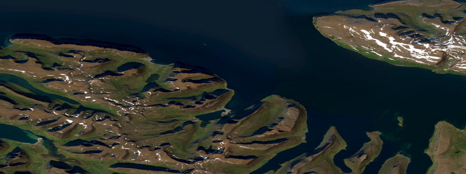
Bolungarvík is a fishing village of around 900 people at the western end of the Ísafjörður fjord complex, 15 km by road west of Ísafjörður town. It sits on a small natural harbour formed by the Bolungarvík peninsula and a rocky headland, facing northeast across the outer Ísafjarðardjúp toward the open Denmark Strait. The Ósvör Maritime Museum at the village's old harbour is one of the best-preserved examples of a traditional Icelandic rowing-boat fishery station — the turf-roofed stone fish racks, drying houses, and the rowboat mooring arrangements show how the pre-motor fishing economy worked at this scale of harbour.
The tidal regime at Bolungarvík is semidiurnal with a spring range of approximately 3.5 m above Chart Datum — the same as Ísafjörður, as they share the same outer fjord system. Mean high water springs is around 2.8 m; mean low water springs drops to 0.3–0.4 m. Neap range narrows to 1.4–1.8 m. Being closer to the fjord mouth than Ísafjörður, Bolungarvík experiences slightly stronger tidal current at the harbour entrance: 1.5–2.5 knots on springs, flowing north on the flood and south on the ebb. The exposed outer headland directly north of the village is one of the most wind-exposed positions in the Westfjords — katabatic drainage from the plateau above sends down gusts of 30–50 knots with minimal warning.
For the traditional fishing heritage, the Ósvör Maritime Museum is the primary draw. The station was last actively used in the early 20th century; it has been preserved and authentically reconstructed to show the equipment, processes, and living conditions of the traditional fishery. The 8-oar rowing boats (færeyjar) would have been launched from this shore into 3.5 m tidal range conditions; the timing of departure and return was governed by the tide just as it was for any working harbour. The museum is open June through August.
Fishing from Bolungarvík today targets the outer Ísafjarðardjúp and the Denmark Strait grounds for cod and haddock. The village's small fishing fleet operates year-round; the Bolungarvík harbour is ice-free throughout the year due to the North Atlantic Current, though pack ice from the Greenland coast occasionally reaches the outer fjord entrances in severe winters. The harbour has a fish processing plant that buys directly from the fleet.
For hikers, Bolungarvík is the starting point for the Deildarfjall ridge walk — a 4–6 hour route that climbs the ridge west of the village to 650 m and provides views across the Ísafjarðardjúp fjord system and out to the open Denmark Strait. At the high point, the tidal character of the fjord system below is clearly visible: the full scale of the tidal flats exposed at low water at the fjord head, the tidal rip patterns in the narrows, and the contrast between the mudflat and the submerged bay areas at different tidal states.
For photographers, Bolungarvík's harbour at spring low water exposes the harbour slipways, the traditional stone fish-drying rack foundations, and the rock platform below the Ósvör museum, providing foreground material not visible at high water. The museum buildings themselves are best photographed in the long horizontal light of the Arctic summer evening. The headland north of the village provides a dramatic viewpoint for the open Denmark Strait and the Vestfirðir coastline.
All tide predictions for Bolungarvík come from the Open-Meteo Marine gridded model. Timing accuracy is ±45 minutes; height accuracy is ±0.3 m above Chart Datum.
The Seljalandsdalur valley above Bolungarvík provides access to the plateau level of the Westfjords above the fjord system. From the valley head, the open plateau (Bolungarvíkurheiði) stretches east and north at 400–600 m elevation — the same plateau from which katabatic winds descend on the harbour. The plateau is snow-covered from October through May in most years and is used for cross-country skiing in the long winter season. In summer, the plateau provides a different perspective on the tidal fjord system below: looking south from the plateau edge, the entire Ísafjarðardjúp system is visible, and the difference between spring and neap tidal height is apparent as a colour change on the shoreline as the intertidal zone alternates between exposed and submerged.
Tide questions about Bolungarvík
Quick answers to the most common questions about tide times, range, and water access at Bolungarvík.
What is the tidal range at Bolungarvík and how does it affect the harbour?
Bolungarvík has a semidiurnal spring tidal range of approximately 3.5 m above Chart Datum. The harbour entrance has tidal current of 1.5–2.5 knots on springs; small craft transiting the entrance should plan against the strongest current phases. The harbour itself is protected from swell by the enclosing headland; the main operational hazard is katabatic wind from the plateau above, which can produce 30–50 knot gusts at the harbour with little warning — independent of tidal state. Neap range narrows to 1.4–1.8 m. Tide predictions carry ±45 minutes timing uncertainty and ±0.3 m height uncertainty.
What is the Ósvör Maritime Museum at Bolungarvík?
The Ósvör Maritime Museum is one of Iceland's best-preserved traditional fishing station complexes — a complete early-20th-century rowing-boat fishery station with turf-roofed stone fish racks, drying houses, and authentic boating equipment including a replica 8-oar færeyja (traditional Icelandic rowing boat). The station shows the scale and methods of pre-motor fisheries at the village level; operations were governed by the tide, the wind, and the season, exactly as they had been since the medieval period. The museum is open June through August; entry includes a guided tour of the station's equipment and processes.
Is the Deildarfjall ridge hike suitable for most visitors?
The Deildarfjall ridge walk west of Bolungarvík is a 4–6 hour moderate-to-strenuous route climbing to approximately 650 m. The path is marked from the village edge. The main hazard is the exposed ridge crest, where westerly wind and katabatic gusts can exceed 30 knots — check the wind forecast before departing. In clear conditions, the viewpoint over the Ísafjarðardjúp fjord system and the Denmark Strait is one of the most dramatic in the Westfjords. The tidal character of the fjord system is visible from the ridge — the exposed low-water mudflats at the fjord head, the tidal rip in the narrows, and the blue water of the outer fjord contrasting with the pale intertidal zone.
When is pack ice a risk at Bolungarvík?
Pack ice from the Greenland coast reaches the Westfjords coast in severe winters, typically during extended northerly circulation patterns in February–March. The outer Ísafjarðardjúp entrance can be partially blocked in extreme ice years; this is uncommon but has occurred in living memory. The Icelandic Meteorological Office publishes sea ice charts for Icelandic waters; check these if planning Westfjords coast visits in late winter. The Bolungarvík harbour itself is sheltered by the headland from direct ice intrusion, but the outer fjord approach may be affected. Ice years also affect the timing and safety of the Hornstrandir ferry service from Ísafjörður.
What fishing is available from Bolungarvík and when is the season?
Bolungarvík's working fishing fleet targets cod and haddock year-round in the outer Ísafjarðardjúp and the Denmark Strait grounds. The village's fish processing plant provides a local market for the catch. Charter angling for visiting anglers is less developed here than in Ísafjörður; confirm current availability with the Bolungarvík municipality or the Ísafjörður tourism office. The tidal timing for productive bank fishing follows the same spring-ebb concentration pattern as elsewhere in Iceland: the most productive drift is on the ebb when current crosses the shallow banks at maximum speed. The midnight sun period (late May to late July) allows 24-hour fishing access to productive grounds.
7-day tide table — Bolungarvík
Heights relative to MSL. Predictions: Open-Meteo Marine (MeteoFrance SMOC, 0.08° grid) — heights relative to MSL (not chart datum / LAT). Model-derived.
| Day | Type | Time | Height |
|---|---|---|---|
| Sat 27 Jun | Low | 00:00 | -1.1m |
| High | 06:19 | -0.1m | |
| Low | 12:19 | -1.2m | |
| High | 18:42 | 0.2m | |
| Sun 28 Jun | Low | 01:01 | -1.2m |
| High | 06:57 | -0.1m | |
| Low | 12:58 | -1.3m | |
| High | 19:26 | 0.3m | |
| Mon 29 Jun | Low | 01:39 | -1.1m |
| High | 07:38 | 0.1m | |
| Low | 13:39 | -1.2m | |
| High | 19:53 | 0.4m | |
| Tue 30 Jun | Low | 02:18 | -1.2m |
| High | 08:13 | 0.1m | |
| Low | 14:14 | -1.2m | |
| High | 20:26 | 0.4m | |
| Wed 01 Jul | Low | 02:58 | -1.3m |
| High | 08:48 | 0.0m | |
| Low | 14:43 | -1.3m | |
| High | 21:05 | 0.5m | |
| Thu 02 Jul | Low | 03:33 | -1.3m |
| High | 09:16 | 0.0m | |
| Low | 15:21 | -1.4m | |
| High | 21:38 | 0.4m | |
| Fri 03 Jul | Low | 04:07 | -1.4m |
| High | 09:56 | -0.0m | |
| Low | 15:54 | -1.3m | |
| High | 22:15 | 0.4m |