Vík, Southern Region tide times
Vík, Southern Region tide forecast — heights relative to MSL.
Today's tide times for Vík, Southern Region
Tide times at Vík, Southern Region on Friday, 19 June 2026: first high tide at 00:00, first low tide at 02:19, second high tide at 08:20, second low tide at 14:20, third high tide at 20:49. Sunrise 03:00, sunset 23:34.
Tide chart for Vík, Southern Region
24-hour cosine-interpolated curve around the present moment. Heights relative to MSL. Predictions: Predictions: Open-Meteo Marine (MeteoFrance SMOC, 0.08° grid).
Sun, moon and conditions on Fri 19 Jun
Snapshot at build time — refreshes daily. Sea state from Open-Meteo Marine.
Highs and lows next 7 days
Every predicted high and low for the next week, with the daily tidal coefficient (0–120; higher = bigger swing, > 95 means stronger currents).
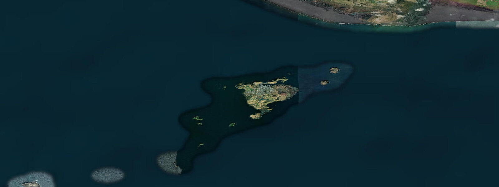
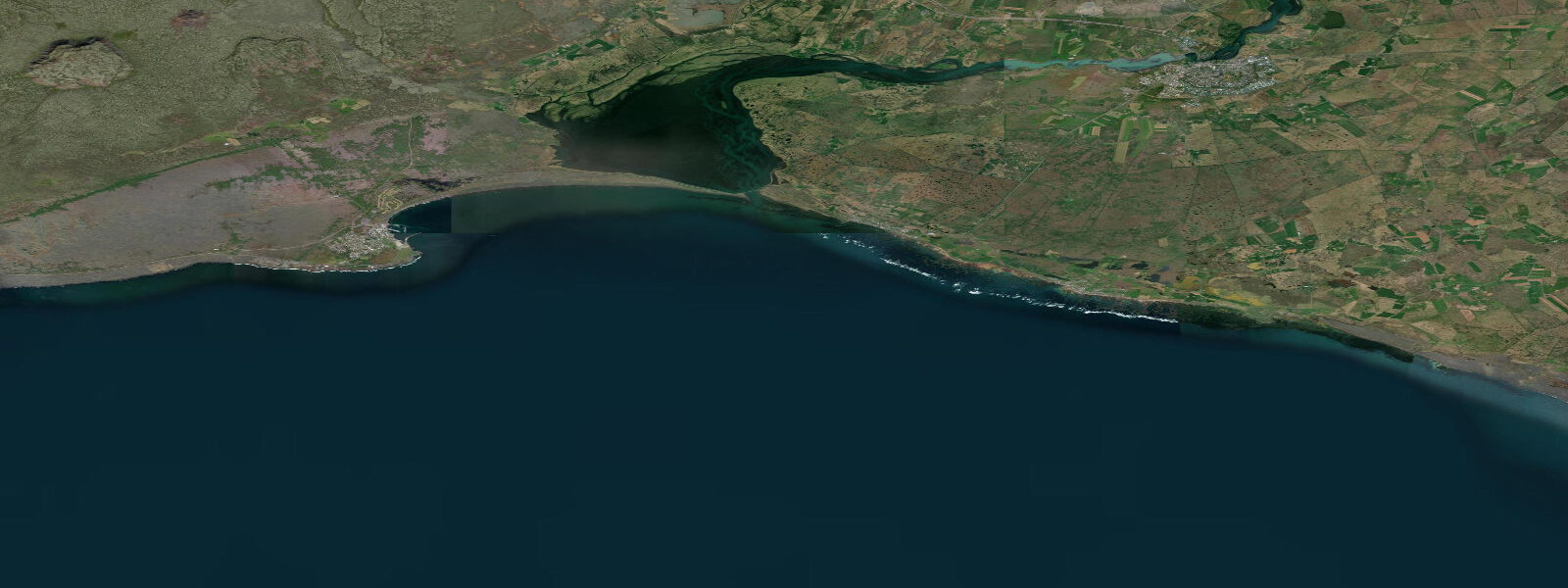
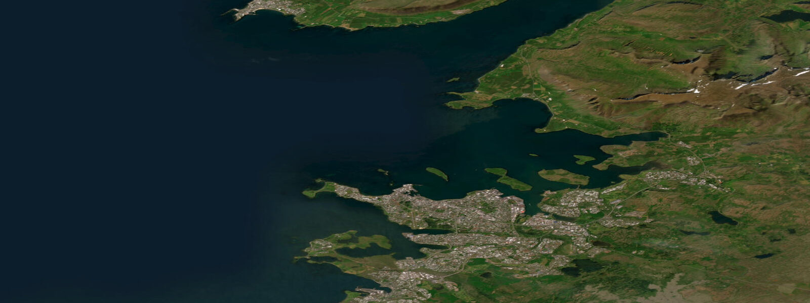
Other spots nearby
The three closest curated TideTurtle locations to Vík, Southern Region, measured by great-circle distance.
Today's solunar windows
Solunar tradition: major periods are the ≈3h windows around moon transit and opposition; minor are ≈2h around moonrise and moonset. Pair with the local tide stage and wind for the best read.
Cycle dates near Vík, Southern Region
Last spring tide on Fri 19 Jun (range 2.3m). Next neap on Tue 23 Jun.
Spring tides cluster around new and full moons (biggest swings). Neap tides land on quarter moons (smallest swings). See the spring tide and neap tide glossary entries for the why.
About tides at Vík, Southern Region
A short guide to the coastline at Vík, Southern Region — geography, sea state, and what the tide is actually doing under your feet.
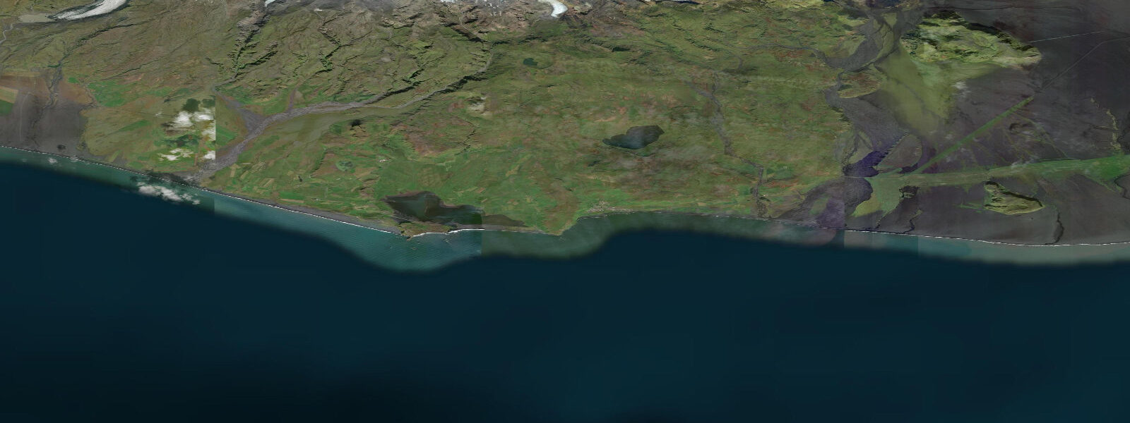
Vík í Mýrdal is Iceland's southernmost village — a cluster of around 300 people tucked below the Mýrdalsjökull glacier on the edge of the North Atlantic. The glacier sits directly above the village, capping the Katla caldera, one of Iceland's most historically active subglacial volcanoes. That geological fact shapes everything about living and visiting here: emergency sirens are tested regularly, evacuation routes are posted on every main road, and jökulhlaup (glacial outburst flood) risk from a Katla eruption remains a permanent background condition. It is not cause for alarm — it is cause for orientation.
The tidal context at Vík is semidiurnal, with a mean range of 2.5 to 3.5 metres. The Atlantic reaches the black-sand beach at Reynisfjara with full oceanic fetch — there is no sheltering landmass between here and the coast of Labrador. The beach faces southwest, which means swell from North Atlantic winter storms arrives unimpeded. Tide height matters for the width of beach available, but at Reynisfjara the tide state is secondary to wave condition: the beach is dangerous regardless of whether it is high or low water.
Reynisfjara is the feature that draws most visitors to Vík. Walking west from the village along the cliff path above Háleyjarbunga, the beach opens up below — 3 kilometres of near-black basalt sand flanked by the hexagonal columnar basalt cliffs on the east end and the Reynisdrangar sea stacks standing 66 metres out of the water offshore. The stacks are striking at any light and become dramatic at dawn when mist sits between them. The cliff path above is accessible at all tides and gives the best elevated view of the stacks and the full sweep of the bay.
The beach itself requires specific awareness. Sneaker waves — large waves arriving without the usual build sequence — occur at Reynisfjara because the steep beach slope reflects energy back seaward, creating unpredictable surge conditions. These waves have killed visitors, including in 2016 and 2017 when several fatalities occurred in separate incidents. The guidance is concrete: stay above the high-water mark, watch the sea from elevated ground first, never turn your back on the water, and don't approach the waterline to photograph the stacks. The danger is not the tide itself but the wave energy the Atlantic delivers to a beach with no offshore reef to absorb it.
For anglers, the rivers feeding into the coastal area — particularly the Múlakvísl, which drains directly off Mýrdalsjökull — carry glacial sediment loads that colour the water grey-green. Sea trout are present in the lower reaches of some south Iceland rivers in season (July–September), and local knowledge about access and conditions is worth seeking. The open coastline around Vík itself is exposed surf-casting territory when conditions allow, but the same wave hazard that affects beach visitors affects shore anglers: fishing from the beach at Reynisfjara is not advisable.
Birdlife on the basalt cliffs above Reynisfjara is exceptional. The columnar basalt formations create nesting ledges used by fulmars, kittiwakes, and — in season — Atlantic puffins. Puffins nest in burrows in the cliff-top turf from May to August; the access trail along Háleyjarbunga allows close approach to active burrows. Razorbills and guillemots occupy the cliff ledges below. The Reynisdrangar stacks are a major seabird roost.
Dyrhólaey, 10 kilometres west of Vík by road, provides a different perspective on the same coastline. The natural arch at sea level is large enough for a boat to pass through; the headland above (about 120 metres) gives a panorama east to the Reynisdrangar stacks and west to the Mýrdalssandur outwash plain and Eyjafjallajökull. Puffin colonies use the headland cliff tops in summer. The arch itself is viewable from the beach below — access to the headland road requires checking whether it is open, as it closes during nesting season to protect the birds.
For photographers, the combination of black sand, sea stacks, columnar basalt, and northern light quality makes Reynisfjara one of the most-photographed coastal locations in the North Atlantic. The elevated path above the beach provides safe shooting positions without stepping onto the wave-exposed sand. The Reynisdrangar stacks photograph well from the cliff-top viewpoint. Dyrhólaey arch at sunrise or sunset rewards the 30-minute drive from Vík.
Vík village has limited but functional services: a petrol station, a small supermarket, a campsite, and accommodation ranging from guesthouses to the Hótel Vík. The village is 183 kilometres from Reykjavík on the Ring Road (Route 1) — approximately 2.5 hours in clear conditions. In winter, the road can close due to storm conditions; the Múlakvísl bridge has been washed out by jökulhlaups in past events.
Tide data for Vík, Southern Region comes from the Open-Meteo Marine API, a gridded model product. Timing accuracy is ±45 minutes, height accuracy ±0.3 m — usable for trip planning, not for navigation.
Tide questions about Vík, Southern Region
Quick answers to the most common questions about tide times, range, and water access at Vík, Southern Region.
Is Reynisfjara beach safe to visit?
Reynisfjara is open to visitors but carries genuine hazards at all tide states. Sneaker waves — large waves arriving unpredictably — have killed visitors here because the steep beach slope creates surge conditions without warning. Stay above the high-water mark, watch from elevated ground before descending to the beach, and never turn your back on the water. The cliff path above the beach (Háleyjarbunga) is safe at any tide and gives better views of the Reynisdrangar sea stacks than standing on the sand. Visit in daylight, in a group, and treat the waterline as off-limits.
What is the tidal range at Vík?
Vík has a semidiurnal tidal pattern with a mean range of 2.5 to 3.5 metres — spring tides reaching the upper end of that range, neaps the lower. The tide exposes and covers a significant strip of the black sand at Reynisfjara beach, but beach width changes less dramatically than the wave hazard does with weather. Tidal predictions here come from the Open-Meteo Marine gridded model (±45 minutes, ±0.3 m); for authoritative Icelandic coastal data, the Icelandic Meteorological Office (Veðurstofa Íslands) is the reference source.
What is the Katla volcano risk for visitors to Vík?
Katla is Iceland's most overdue major volcano — its historical eruption interval is 40–80 years and it last erupted in 1918. A subglacial eruption would generate a jökulhlaup (glacial outburst flood) from Mýrdalsjökull that would reach the coast within minutes, with flow paths toward Vík and the coastal plain east of the village. Evacuation routes are clearly signed from all main roads around Vík. In practice, the risk on any given day is very low, but the emergency infrastructure is real and functional. If sirens sound, follow the evacuation signs uphill immediately without waiting for further instructions.
When is the best time to see puffins near Vík?
Atlantic puffins are present at the Reynisfjara cliffs and on Háleyjarbunga from May through early August. The birds nest in burrows in the cliff-top turf; the walking trail along the top of the basalt cliffs passes within a few metres of active burrows and allows close observation without disturbing nesting activity. Numbers peak in June and July. By mid-August most birds have left for the open ocean. The Dyrhólaey headland, 10 km west of Vík, also hosts a large colony — the access road may close during peak nesting season to protect the birds.
How do I photograph the Reynisdrangar sea stacks safely?
The elevated cliff path above Reynisfjara beach (Háleyjarbunga) gives an unobstructed view of the Reynisdrangar stacks from a safe distance without stepping onto the wave-exposed sand below. The stacks are 66 metres tall and photograph well in low-angle morning or evening light. The path is accessible directly from the Reynisfjara car park and involves an easy 10-minute walk to the main viewpoint. For the arch at Dyrhólaey, the headland road (when open) provides a westward look back along the coast. A long focal length from the elevated path captures the stacks and the breaking Atlantic swell without requiring beach access.
7-day tide table — Vík, Southern Region
Heights relative to MSL. Predictions: Open-Meteo Marine (MeteoFrance SMOC, 0.08° grid) — heights relative to MSL (not chart datum / LAT). Model-derived.
| Day | Type | Time | Height |
|---|---|---|---|
| Fri 19 Jun | High | 00:00 | -0.8m |
| Low | 02:19 | -1.5m | |
| High | 08:20 | 0.4m | |
| Low | 14:20 | -1.5m | |
| High | 20:49 | 0.7m | |
| Sat 20 Jun | Low | 03:11 | -1.4m |
| High | 09:11 | 0.3m | |
| Low | 15:16 | -1.5m | |
| High | 21:40 | 0.5m | |
| Sun 21 Jun | Low | 04:05 | -1.5m |
| High | 10:07 | 0.0m | |
| Low | 16:12 | -1.5m | |
| High | 22:36 | 0.2m | |
| Mon 22 Jun | Low | 04:58 | -1.4m |
| High | 11:08 | -0.1m | |
| Low | 17:15 | -1.3m | |
| Tue 23 Jun | High | 12:17 | -0.1m |
| Low | 18:25 | -1.2m | |
| Wed 24 Jun | High | 00:38 | -0.0m |
| Low | 06:55 | -1.2m | |
| High | 13:21 | 0.0m | |
| Low | 19:38 | -1.1m | |
| Thu 25 Jun | High | 01:45 | -0.1m |
| Low | 07:54 | -1.2m | |
| High | 14:26 | 0.1m | |
| Low | 20:34 | -1.1m | |
| High | 23:00 | -0.8m |