Tai Long Wan tide times
Tai Long Wan tide forecast — heights relative to MSL.
Today's tide times for Tai Long Wan
Tide times at Tai Long Wan on Saturday, 4 July 2026: first high tide at 10:40, first low tide at 17:58. Sunrise 05:42, sunset 19:10.
Tide chart for Tai Long Wan
24-hour cosine-interpolated curve around the present moment. Heights relative to MSL. Predictions: Predictions: Open-Meteo Marine (MeteoFrance SMOC, 0.08° grid).
Sun, moon and conditions on Sat 04 Jul
Snapshot at build time — refreshes daily. Sea state from Open-Meteo Marine.
Highs and lows next 7 days
Every predicted high and low for the next week, with the daily tidal coefficient (0–120; higher = bigger swing, > 95 means stronger currents).
Other spots nearby
The three closest curated TideTurtle locations to Tai Long Wan, measured by great-circle distance.
Today's solunar windows
Solunar tradition: major periods are the ≈3h windows around moon transit and opposition; minor are ≈2h around moonrise and moonset. Pair with the local tide stage and wind for the best read.
Cycle dates near Tai Long Wan
Last spring tide on Sat 04 Jul (range 1.5m). Next spring tide on Fri 10 Jul (range 1.3m). Next neap on Wed 08 Jul.
Spring tides cluster around new and full moons (biggest swings). Neap tides land on quarter moons (smallest swings). See the spring tide and neap tide glossary entries for the why.
About tides at Tai Long Wan
A short guide to the coastline at Tai Long Wan — geography, sea state, and what the tide is actually doing under your feet.
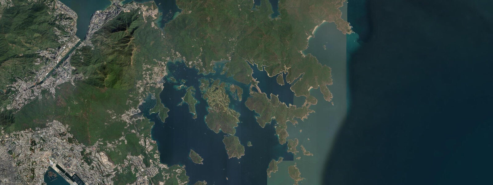
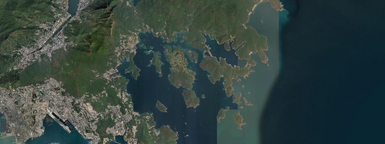
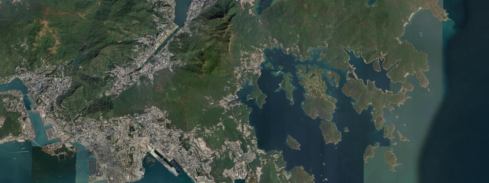
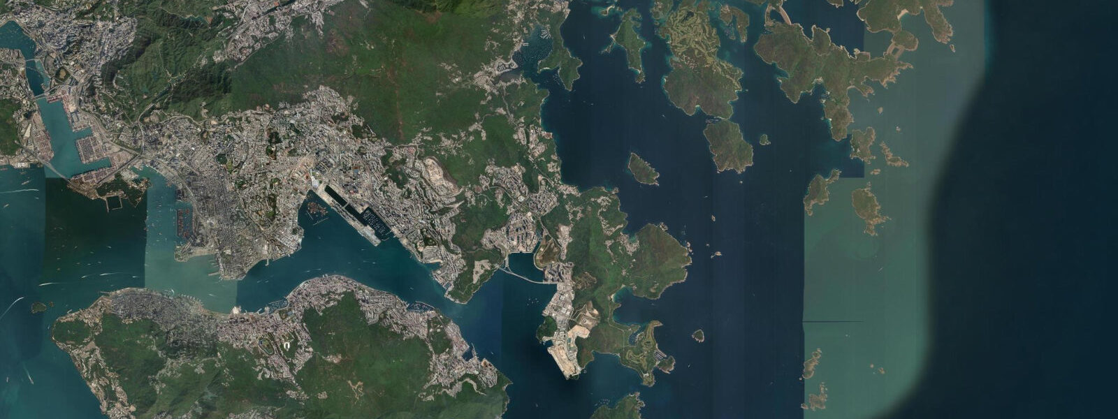
Tai Long Wan — literally Big Wave Bay in Cantonese — is four beaches on the northeastern face of the Sai Kung Peninsula, open to the South China Sea. In a territory where most beaches are surrounded by development, Tai Long Wan is an anomaly: no road access, no permanent shops, and a view from the beach headlands that contains nothing built by human hands. The four beaches — Sai Wan (west), Ham Tin Wan, Tai Wan, and Tung Wan (east) — are separated by rocky headlands and connected at low water by a coastal path that skirts the cliff bases. The hike in, via the MacLehose Trail Section 2 from Pak Tam Chung, takes 2 to 2.5 hours over rough terrain; the kaido (water taxi) from Sai Kung town arrives in 30 to 40 minutes.
The tidal regime at Tai Long Wan is the same mixed semidiurnal system as the rest of the eastern New Territories coast. Spring range is approximately 1.8 metres. The beaches are northeast-facing, and the dominant wave direction is from the northeast — typhoon residual swell propagates south and southwest after systems dissipate north of the Philippines between August and November, and Tai Long Wan receives this swell almost directly. In an active typhoon autumn, consistent beach break develops on Ham Tin Wan and Tung Wan in the 1 to 1.5 metre swell range. Tidal position influences the surf zone: the mid-rising tide on spring days puts the break in the most shapely part of the sandbar profile.
Of the four beaches, Ham Tin Wan is the most accessible and the most used for water entry activities. A freshwater stream drains across the beach from the valley behind — the stream outlet shifts position with seasonal sediment movement. The beach has a small village at its inland edge where local families run basic refreshment stalls (congee, instant noodles, cold drinks) on a seasonal basis — the most reliable source of food and water for hikers who have not carried sufficient supplies. Camping at the designated sites behind Ham Tin Wan is possible without a permit, first-come first-served.
Tai Wan is the flattest and longest of the four beaches, backed by a low coastal barrier that occasionally floods in typhoon conditions. Tung Wan, at the eastern end, has the most exposed position and the roughest sea conditions. Sai Wan, at the western end, is the most sheltered and the most popular for swimming. The headland between Sai Wan and Ham Tin Wan offers the best panoramic view of the bay complex — a 20-minute scramble from either beach.
The inter-beach coastal path at low water springs links all four beaches without requiring the inland track. The path traverses rock platforms at the base of the headland cliffs. It is not marked and requires scrambling in places — not suitable for inexperienced coastal walkers. Wear shoes that grip wet rock. The platform is safely accessible only in calm conditions; assess swell height from the headland before descending.
Migratory seabirds pass through the outer Sai Kung waters in October to December: brown booby, red-necked phalarope, and Streaked shearwater have been recorded from the headlands. Chinese white dolphin are occasionally sighted in the outer approaches.
Predictions on this page come from Open-Meteo Marine, a gridded global ocean model. Accuracy is typically within plus or minus 45 minutes on timing and 0.2 to 0.3 metres on height — model-derived, not from a local gauge. The local tide authority is the Hong Kong Observatory, which publishes annual tide tables for Hong Kong waters.
Tide questions about Tai Long Wan
Quick answers to the most common questions about tide times, range, and water access at Tai Long Wan.
How do I get to Tai Long Wan?
Two options: hike or kaido (water taxi). The hike follows MacLehose Trail Section 2 from the Pak Tam Chung car park (end of bus route 94 from Sai Kung town) — approximately 10 kilometres to Ham Tin Wan, taking 2 to 2.5 hours over rough terrain with 350 metres of ascent. The kaido from Sai Kung waterfront pier drops visitors at Sai Wan or Ham Tin Wan in 30 to 40 minutes; negotiate price and departure time directly with the boatmen. A popular combination is kaido in, hiking out (or the reverse). Carry sufficient food and water for the day — supplies at Ham Tin Wan village stall are limited and not always available.
Is camping allowed at Tai Long Wan?
Designated camping sites behind Ham Tin Wan beach are available without a permit, on a first-come, first-served basis. No fires are permitted. Carry all rubbish out. Water from the stream crossing Ham Tin Wan should be treated before drinking — the valley has upstream habitation. Saturday nights in spring and autumn are the busiest; arrive by 15:00 to secure a site. There are no toilet facilities at the beach camping area; the village at Ham Tin Wan has a basic toilet. The AFCD website lists current camping site locations and any temporary closures across the Sai Kung Country Park network.
Which of the four beaches is best for swimming?
Sai Wan, at the western end of the Tai Long Wan complex, is the most sheltered and most consistent for swimming — it faces west-northwest rather than the open northeast, which reduces direct swell exposure. Ham Tin Wan is the most used overall and has calm conditions in settled weather, but it is directly exposed to northeast swell in autumn. Tai Wan and Tung Wan are more exposed. None of the four beaches has lifeguard cover, rip currents are present at all beach ends adjacent to headlands, and all beaches should be treated as unsupervised swimming. Assess sea conditions before entering the water at any state.
When does Tai Long Wan get waves?
Northeast swell arrives between August and November, when typhoons north of the Philippines generate residual swell that propagates into the northeast-facing bays of the outer Sai Kung coast. Consistent beach break on Ham Tin Wan and Tung Wan occurs in the 0.8 to 1.5 metre range when swell direction aligns with the bay mouth. Swell is also possible in winter (November to February) on north to northeast wind swell. Summer months (May to July) are generally flat. Tidal range of approximately 1.8 metres at springs creates a measurable change in the surf zone through the tidal cycle.
Are there refreshments available at Tai Long Wan?
A small village at the inland edge of Ham Tin Wan has local families running basic food stalls on a seasonal basis — congee, instant noodles, and cold drinks are the standard offerings. These stalls are not always open and not reliable in the off-season (November to March). There are no shops at any of the other three beaches. Carry all food and water for the day from Sai Kung town. A minimum of 2 litres of water per person for the hiking route is appropriate; more in summer. The kaido boatman can sometimes arrange a return pickup later in the day if agreed in advance.
8-day tide table — Tai Long Wan
Heights relative to MSL. Predictions: Open-Meteo Marine (MeteoFrance SMOC, 0.08° grid) — heights relative to MSL (not chart datum / LAT). Model-derived.
| Day | Type | Time | Height |
|---|---|---|---|
| Sat 04 Jul | High | 10:40 | 1.3m |
| Low | 17:58 | -0.1m | |
| Sun 05 Jul | High | 09:40 | 1.2m |
| Low | 18:45 | -0.1m | |
| Mon 06 Jul | High | 01:50 | 0.7m |
| Low | 19:19 | -0.0m | |
| Tue 07 Jul | High | 02:25 | 0.8m |
| Low | 07:34 | 0.5m | |
| High | 11:17 | 0.9m | |
| Low | 19:57 | 0.1m | |
| Wed 08 Jul | High | 02:57 | 0.9m |
| Low | 08:50 | 0.4m | |
| High | 12:11 | 0.7m | |
| Low | 14:06 | 0.7m | |
| Thu 09 Jul | High | 03:42 | 1.1m |
| Low | 10:00 | 0.3m | |
| High | 13:07 | 0.6m | |
| High | 16:15 | 0.6m | |
| Low | 20:50 | 0.4m | |
| Fri 10 Jul | High | 04:20 | 1.3m |
| Low | 11:04 | 0.1m | |
| High | 14:20 | 0.4m | |
| Low | 14:38 | 0.4m | |
| High | 18:04 | 0.6m | |
| Low | 21:42 | 0.6m | |
| Sat 11 Jul | High | 04:50 | 1.5m |
| Low | 07:00 | 1.2m |