High Island (Leung Shuen Wan) tide times
High Island (Leung Shuen Wan) tide forecast — heights relative to MSL.
Today's tide times for High Island (Leung Shuen Wan)
Tide times at High Island (Leung Shuen Wan) on Saturday, 4 July 2026: first high tide at 10:40, first low tide at 17:58. Sunrise 05:42, sunset 19:10.
Tide chart for High Island (Leung Shuen Wan)
24-hour cosine-interpolated curve around the present moment. Heights relative to MSL. Predictions: Predictions: Open-Meteo Marine (MeteoFrance SMOC, 0.08° grid).
Sun, moon and conditions on Sat 04 Jul
Snapshot at build time — refreshes daily. Sea state from Open-Meteo Marine.
Highs and lows next 7 days
Every predicted high and low for the next week, with the daily tidal coefficient (0–120; higher = bigger swing, > 95 means stronger currents).
Other spots nearby
The three closest curated TideTurtle locations to High Island (Leung Shuen Wan), measured by great-circle distance.
Today's solunar windows
Solunar tradition: major periods are the ≈3h windows around moon transit and opposition; minor are ≈2h around moonrise and moonset. Pair with the local tide stage and wind for the best read.
Cycle dates near High Island (Leung Shuen Wan)
Last spring tide on Sat 04 Jul (range 1.5m). Next spring tide on Fri 10 Jul (range 1.3m). Next neap on Wed 08 Jul.
Spring tides cluster around new and full moons (biggest swings). Neap tides land on quarter moons (smallest swings). See the spring tide and neap tide glossary entries for the why.
About tides at High Island (Leung Shuen Wan)
A short guide to the coastline at High Island (Leung Shuen Wan) — geography, sea state, and what the tide is actually doing under your feet.
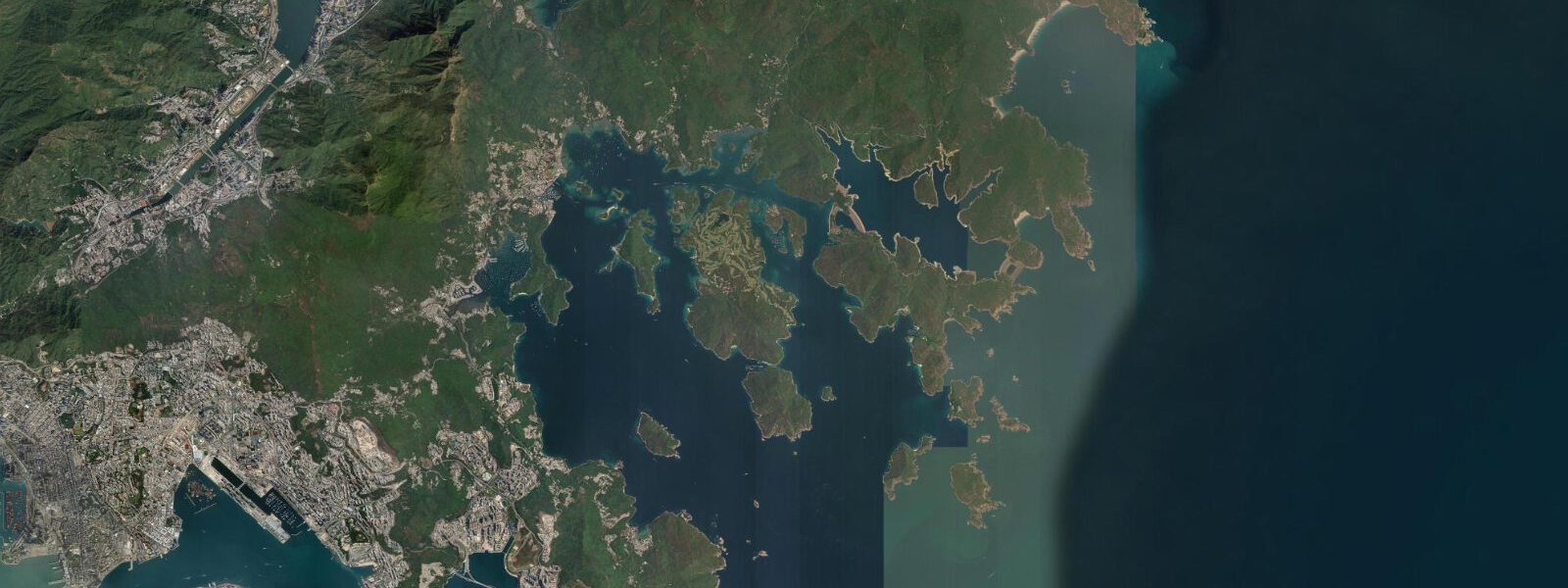
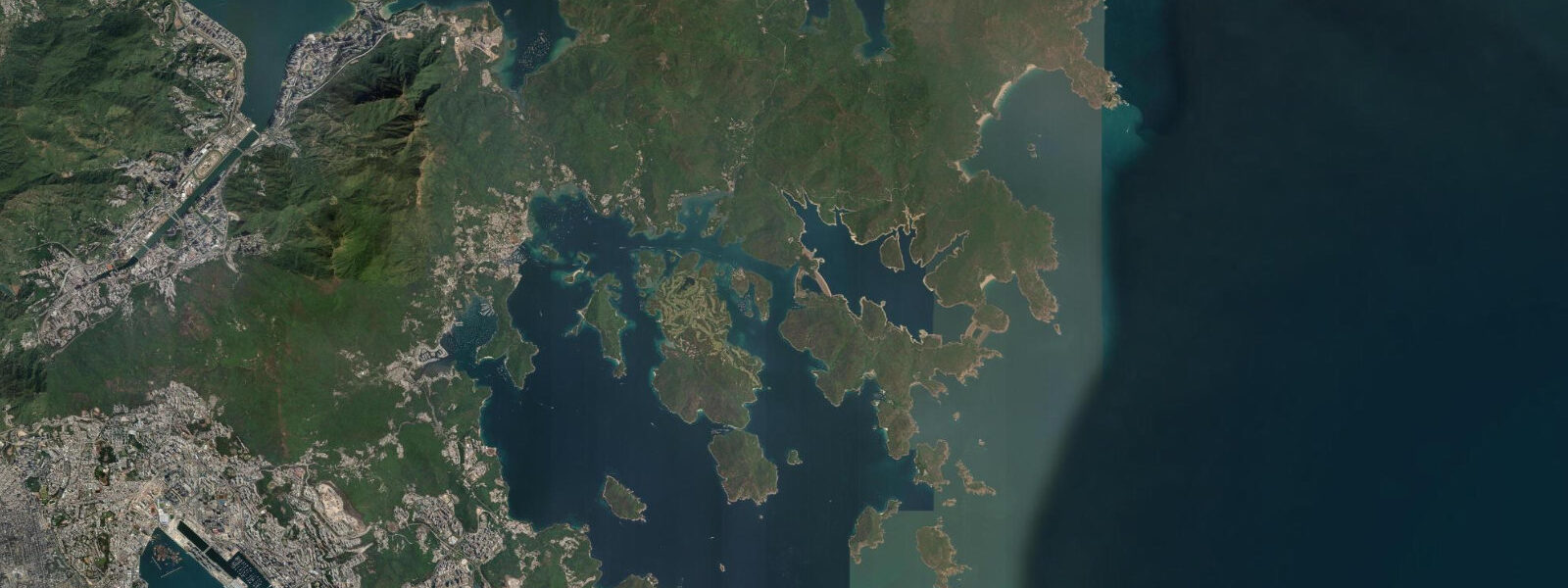
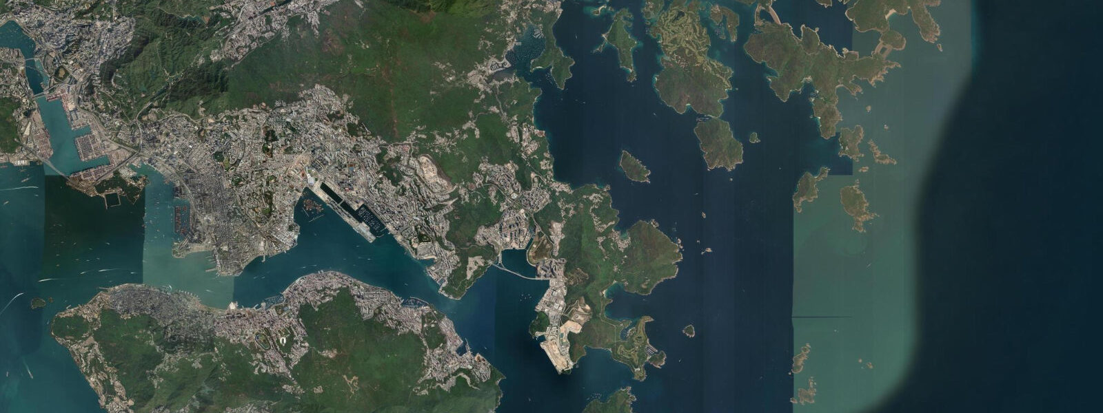
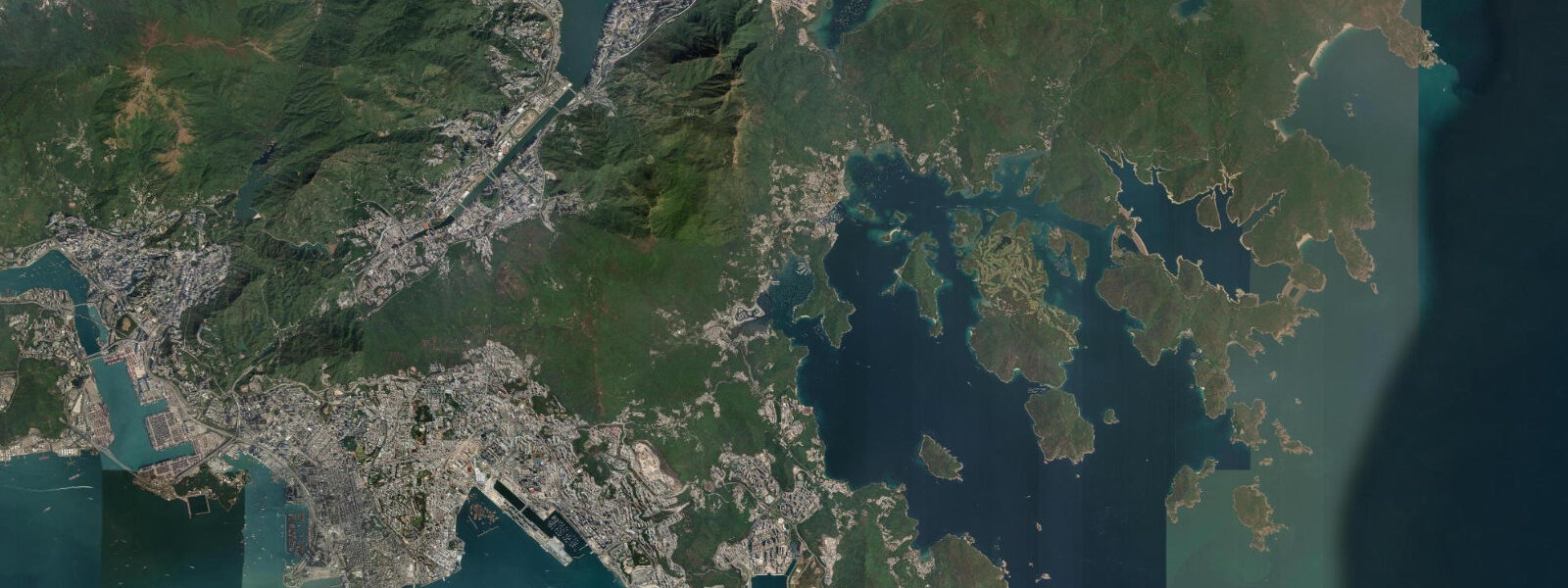
High Island — Leung Shuen Wan in Cantonese — sits at the southeastern edge of the Sai Kung Peninsula, where the land drops abruptly into the South China Sea. What was once an open sea bay between the High Island peninsula and the outlying island of Leung Shuen Wan Chau is now enclosed by two concrete dam walls, completed in 1978, that transformed the bay into Hong Kong's largest freshwater reservoir. The outer sea walls extend into open ocean and their bases are exposed to the full force of the South China Sea — typhoon conditions push 4 to 6 metre waves against the dam face.
The geology at High Island is the reason for the area's UNESCO Global Geopark designation. Approximately 140 million years ago, a supervolcanic eruption event deposited massive sheets of rhyolitic ash across the region. As these pyroclastic flows cooled and contracted, they cracked in a regular polygonal pattern, forming hexagonal columns that now stand exposed in the sea cliffs along the outer coast. The columns at High Island reach 2 to 3 metres in diameter and 20 to 30 metres in height. The best exposure is on the outer sea wall of the eastern dam and on the sea cliffs of the adjacent headlands — the columns are visible from above at the dam wall path and from below at sea level at very low tides.
The tidal character of the outer coast here is driven by the South China Sea mixed semidiurnal system. Spring range at this exposed location is approximately 1.8 metres. At low water springs, the rock platforms at the base of the volcanic columns are exposed for up to 2 hours, revealing the marine intertidal community that inhabits the column bases — acorn barnacles in the high zone, limpets and periwinkles in the mid zone, and in the lowest zone, encrusting algae, sea anemones, and the occasional chiton. The rock platform is only safely accessible in calm weather; swell from the open South China Sea runs into the base of the cliffs at exposed headlands even when wind conditions seem benign.
The reservoir road from the Sai Kung Country Park provides vehicle access to the dam area. The walk from the dam car park to the eastern sea wall takes approximately 20 minutes on a paved road. The outer headland beyond the dam wall is reached via a rough path along the dam top and then a descent to the shore — suitable for fit walkers in appropriate footwear. The geopark information panels on the dam wall explain the geological formation process and show cross-sections of the column structure.
For photographers, the combination of the hexagonal column architecture and the sea level perspective is the primary target. The best light for photographing the columns on the eastern sea wall is in the morning, when the sun is behind the camera for a photographer facing southeast. Low water spring morning combinations — predictable roughly twice monthly — give both the best intertidal rock access and the best morning light. A standard zoom lens covers the full column height from the sea wall path; a wide angle is needed for the base-of-cliff perspective at low water.
The reservoir interior is managed as a water catchment and is not accessible for recreation except on the designated footpaths around the dam perimeter. Swimming in the reservoir is prohibited. The surrounding country park — Sai Kung Country Park — has unrestricted hiking access on designated trails.
Predictions on this page come from Open-Meteo Marine, a gridded global ocean model. Accuracy is typically within plus or minus 45 minutes on timing and 0.2 to 0.3 metres on height — model-derived, not from a local gauge. The local tide authority is the Hong Kong Observatory, which publishes annual tide tables for Hong Kong waters.
Tide questions about High Island (Leung Shuen Wan)
Quick answers to the most common questions about tide times, range, and water access at High Island (Leung Shuen Wan).
What are the hexagonal rock columns at High Island?
The hexagonal columns at High Island are formed in rhyolitic volcanic tuff — ash deposits from a supervolcanic eruption approximately 140 million years ago. As the cooling ash contracted, it cracked in a regular polygonal pattern, forming columns up to 3 metres in diameter and 20 to 30 metres tall. The same cooling mechanism produces the basalt columns of the Giant's Causeway in Northern Ireland, though the rock type differs. The High Island columns are among the largest and best-preserved examples of this geological structure in Asia and are the primary reason the area holds UNESCO Global Geopark designation. They are visible from the eastern dam wall path and from sea level at very low tides.
How do I get to High Island from Sai Kung town?
By private vehicle or taxi along the Sai Kung Country Park road to the High Island Reservoir dam car park — approximately 15 kilometres from Sai Kung town (25 to 35 minutes by car). There is no public bus service to the reservoir. Minibuses from Sai Kung town stop at Pak Tam Chung, from where it is a further 8 kilometres by road to the dam. Cyclists regularly make the journey on the paved road. From the dam car park, walk the road across the dam and continue to the eastern sea wall (20 minutes on foot). The geopark information panels are on the western dam wall, visible from the road.
Is the intertidal rock platform at High Island safe to access?
The rock platform at the base of the volcanic columns is only safely accessible in calm weather and at low water springs (when it is exposed for approximately 2 hours). South China Sea swell runs into the cliff base even when wind conditions appear light. Before descending to sea level, assess the swell height from above: if waves are reaching the base of the column wall, do not descend. Wear shoes with firm grip on wet rock; the barnacle-covered platform is rough but the seaweed zones are extremely slippery. Return before the tide rises to the descent point. Alert someone to your plans and departure time.
Is swimming or fishing allowed at High Island Reservoir?
Swimming in the reservoir is prohibited — the reservoir is part of Hong Kong's freshwater supply system. Fishing in the reservoir is also not permitted. The outer sea walls and the marine area beyond the dam faces are outside the reservoir designation; fishing from the sea wall is permitted with appropriate gear and awareness of sea conditions. The outer coast is exposed and wave-washed; rock fishing carries the same sea-safety requirements as any exposed coast — wear a personal flotation device, use a life line if conditions are rough, and never turn your back on the sea.
What wildlife can I see near High Island?
The sea cliffs and outer headlands support a small breeding population of Pacific swallows and white-rumped swifts. Peregrine falcons have been recorded nesting on the outer cliff faces. In the marine intertidal zone at low water: acorn barnacles, limpets, chitons, and encrusting coralline algae dominate the exposed platform. The outer water column is occasionally visited by Indo-Pacific bottlenose dolphins that transit along the outer Sai Kung coast. The Sai Kung Country Park forest on the peninsula holds large-billed crow, crested serpent eagle, and various bulbul and warbler species. Chinese barking deer move through the scrub at dawn and dusk.
8-day tide table — High Island (Leung Shuen Wan)
Heights relative to MSL. Predictions: Open-Meteo Marine (MeteoFrance SMOC, 0.08° grid) — heights relative to MSL (not chart datum / LAT). Model-derived.
| Day | Type | Time | Height |
|---|---|---|---|
| Sat 04 Jul | High | 10:40 | 1.3m |
| Low | 17:58 | -0.1m | |
| Sun 05 Jul | High | 09:40 | 1.2m |
| Low | 18:45 | -0.1m | |
| Mon 06 Jul | High | 01:50 | 0.7m |
| Low | 19:19 | -0.0m | |
| Tue 07 Jul | High | 02:25 | 0.8m |
| Low | 07:34 | 0.5m | |
| High | 11:17 | 0.9m | |
| Low | 19:57 | 0.1m | |
| Wed 08 Jul | High | 02:57 | 0.9m |
| Low | 08:50 | 0.4m | |
| High | 12:11 | 0.7m | |
| Low | 14:06 | 0.7m | |
| Thu 09 Jul | High | 03:42 | 1.1m |
| Low | 10:00 | 0.3m | |
| High | 13:07 | 0.6m | |
| High | 16:15 | 0.6m | |
| Low | 20:50 | 0.4m | |
| Fri 10 Jul | High | 04:20 | 1.3m |
| Low | 11:04 | 0.1m | |
| High | 14:20 | 0.4m | |
| Low | 14:38 | 0.4m | |
| High | 18:04 | 0.6m | |
| Low | 21:42 | 0.6m | |
| Sat 11 Jul | High | 04:50 | 1.5m |
| Low | 07:00 | 1.2m |