
Tela, Honduras tide times
Tela, Honduras tide forecast — heights relative to MSL.
Today's tide times for Tela, Honduras
Tide times at Tela, Honduras on Friday, 3 July 2026: first low tide at 06:00pm, first high tide at 11:10pm. Sunrise 05:22am, sunset 06:25pm.
Tide chart for Tela, Honduras
24-hour cosine-interpolated curve around the present moment. Heights relative to MSL. Predictions: Predictions: Open-Meteo Marine (MeteoFrance SMOC, 0.08° grid).
Sun, moon and conditions on Fri 03 Jul
Snapshot at build time — refreshes daily. Sea state from Open-Meteo Marine.
Highs and lows next 7 days
Every predicted high and low for the next week, with the daily tidal coefficient (0–120; higher = bigger swing, > 95 means stronger currents).
Other spots nearby
The three closest curated TideTurtle locations to Tela, Honduras, measured by great-circle distance.
Today's solunar windows
Solunar tradition: major periods are the ≈3h windows around moon transit and opposition; minor are ≈2h around moonrise and moonset. Pair with the local tide stage and wind for the best read.
About tides at Tela, Honduras
A short guide to the coastline at Tela, Honduras — geography, sea state, and what the tide is actually doing under your feet.
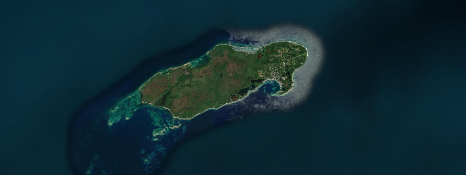
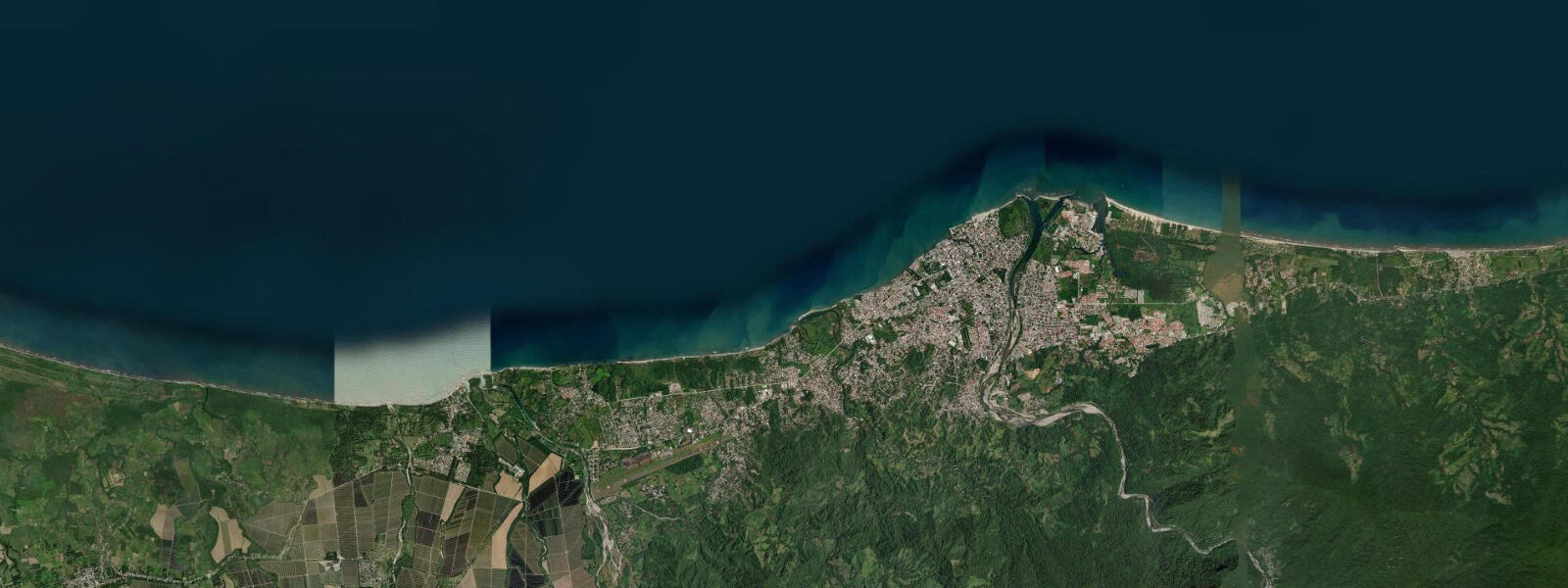
Tela sits on the Caribbean mainland coast of Honduras, on a bay where the Río Ulúa and the Río Tela empty into the sea between long stretches of palm-fringed beach. The town carries its banana-economy history in its street plan: Tela Vieja, the original Honduran settlement, and Tela Nueva, the grid built by the Tela Railroad Company (a United Fruit subsidiary) for its American employees in the 1920s. The two parts are separated by the river mouth and joined by a bridge. The company housing is empty now, but the wide streets and the wood-frame houses with screened porches survive as a reminder of when Honduras's Caribbean coast ran on banana export contracts.
The tidal regime at Tela is Caribbean microtidal: spring range 0.3 to 0.5 metres, mixed semidiurnal. The dominant water-level variable is the river discharge from the Ulúa system, which increases significantly during the May–November rainy season and can raise the bay water level by more than any astronomical tidal cycle. During heavy rain events, the bay turns brown from sediment discharge and the normal low-turbidity snorkelling conditions inside Punta Sal collapse. The dry-season window (December through April) is when the bay is clearest and conditions are most reliable for marine activities.
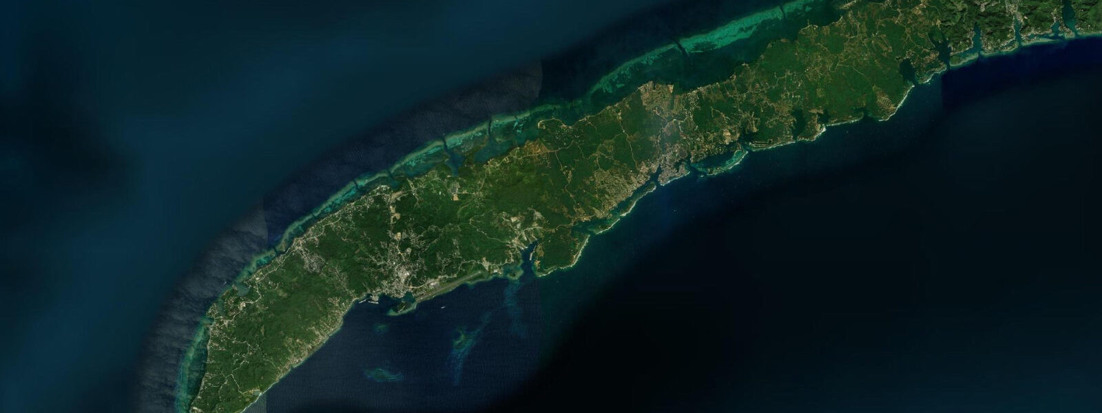
Punta Sal National Park begins 20 km west of Tela by boat, accessible by launch from the town dock in 45 to 60 minutes. The park protects a forested headland, the Laguna los Micos wetland complex, and the coral reef at Punta Sal itself — one of the most intact reef sections on the Honduran mainland coast. Howler monkeys, manatees in the lagoon, and at least 300 recorded bird species make the park one of the most biologically dense in Central America. The reef at Punta Sal is the snorkelling and diving target: the headland shelters a section of reef that has not had the sediment stress that has degraded reefs further east near the Ulúa delta.
Lancetilla Botanical Garden, 4 km south of Tela, is the largest tropical botanical garden in the Western Hemisphere — 1,680 hectares of documented plant collections started by United Fruit Company botanist Wilson Popenoe in 1925. The fruit tree collection alone holds over 1,000 varieties. A river runs through the garden and is one of the better freshwater birding spots on the Caribbean coast. Lancetilla is a full half-day on its own and pairs with an afternoon Punta Sal boat trip on a single visit day.
Anglers at Tela target snook in the river mouths during the incoming tide, when the rising water level pushes marine baitfish into the river-mouth zone and snook stack up in the current seam. The tide prediction on this page indicates the turn from ebb to flood — the 1 to 2 hours immediately after the predicted low is the active snook window. Offshore, launches out of Tela run the Caribbean shelf for mahi-mahi and king mackerel.
Families and beach walkers use the long beach running east and west from the town centre. The beach is wide, palm-shaded, and relatively uncrowded outside the Honduran holiday seasons (Semana Santa, August, Christmas). Sandflies (jejenes) are present particularly near the river mouths at dusk — long sleeves and repellent are standard equipment for anyone sitting on the beach after 17:00.
Predictions on this page come from Open-Meteo Marine, a global gridded ocean model. Accuracy is ±45 minutes on timing and ±0.2 to 0.3 metres on height. For the river-mouth snook window, the tidal low predicted on this page is the planning reference — combine with local river-condition knowledge to account for rainfall-driven flow.
Tide questions about Tela, Honduras
Quick answers to the most common questions about tide times, range, and water access at Tela, Honduras.
When is the next high tide at Tela?
The predicted next high tide at Tela is shown at the top of this page in Central Standard Time (CST, UTC-6). Spring range is 0.3 to 0.5 metres — Caribbean microtidal. In the rainy season (May–November), river discharge from the Ulúa system can dominate water-level change in the bay, making the tide prediction a partial picture. Predictions come from Open-Meteo Marine (gridded, ±45 min / ±0.2–0.3 m).
How do you visit Punta Sal National Park from Tela?
Punta Sal is accessible by boat from Tela's main dock — a 45 to 60 minute launch ride west. Guided day tours depart from the dock or can be arranged through hotels in Tela; private launch hire is also available. The park has no road access. The best season is December through April when river discharge is low and bay clarity is highest. Bring reef-safe sunscreen, water, and lunch — facilities inside the park are minimal.
When is the best tide for snook fishing at the river mouths?
Snook hold in the current seam at river mouths during the incoming tide, concentrating in the 1–2 hours after the predicted low water as rising water pushes marine baitfish into the brackish transition zone. The Río Tela and the Río Ulúa mouth zone are the primary inshore targets. Effective lures are surface plugs and large jigs worked across the current seam. Local guides are the most efficient way to identify the productive mouths on any given day.
Where do tide predictions for Tela come from?
Predictions come from Open-Meteo Marine, a global gridded ocean model. Accuracy class: ±45 minutes on timing, ±0.2 to 0.3 metres on height. River discharge from the Ulúa system significantly affects bay water level during the wet season (May–November); the tidal prediction alone does not capture this variation. INAHMI (Instituto Nacional de Meteorología e Hidrología de Honduras) publishes tidal reference data for the Honduran Caribbean coast. For river-mouth snook windows where the exact timing matters, cross-reference with local river-condition knowledge and current wet-season discharge levels.
Is this safe to use for navigation?
No. TideTurtle is a planning tool, not a nautical almanac. Navigation along the Honduran Caribbean coast, including the approaches to Tela Bay, the river mouths, and the offshore passage to Punta Sal, requires current charts and local knowledge of the shifting sandbars at the Ulúa and Tela river deltas. The delta sandbars move significantly between dry and wet seasons and are not reliably represented on any fixed chart. Open-Meteo Marine predictions are not a substitute for authoritative harmonic data for any vessel operation.
8-day tide table — Tela, Honduras
Heights relative to MSL. Predictions: Open-Meteo Marine (MeteoFrance SMOC, 0.08° grid) — heights relative to MSL (not chart datum / LAT). Model-derived.
| Day | Type | Time | Height |
|---|---|---|---|
| Fri 03 Jul | Low | 18:00 | 0.1m |
| High | 23:10 | 0.1m | |
| Sat 04 Jul | Low | 17:10 | 0.1m |
| Sun 05 Jul | High | 00:00 | 0.1m |
| Low | 18:15 | 0.1m | |
| Low | 20:00 | 0.1m | |
| Mon 06 Jul | — | ||
| Tue 07 Jul | — | ||
| Wed 08 Jul | High | 02:00 | 0.1m |
| Low | 09:00 | -0.1m | |
| Thu 09 Jul | High | 17:50 | 0.2m |
| Low | 23:00 | 0.1m | |
| Fri 10 Jul | High | 04:00 | 0.2m |
| Low | 11:00 | -0.1m | |
| High | 17:00 | 0.2m | |