Mangrove Bight, Guanaja tide times
Mangrove Bight, Guanaja tide forecast — heights relative to MSL.
Today's tide times for Mangrove Bight, Guanaja
Tide times at Mangrove Bight, Guanaja on Friday, 3 July 2026: first low tide at 06:00pm, first high tide at 11:10pm. Sunrise 05:15am, sunset 06:20pm.
Tide chart for Mangrove Bight, Guanaja
24-hour cosine-interpolated curve around the present moment. Heights relative to MSL. Predictions: Predictions: Open-Meteo Marine (MeteoFrance SMOC, 0.08° grid).
Sun, moon and conditions on Fri 03 Jul
Snapshot at build time — refreshes daily. Sea state from Open-Meteo Marine.
Highs and lows next 7 days
Every predicted high and low for the next week, with the daily tidal coefficient (0–120; higher = bigger swing, > 95 means stronger currents).
Other spots nearby
The three closest curated TideTurtle locations to Mangrove Bight, Guanaja, measured by great-circle distance.
Today's solunar windows
Solunar tradition: major periods are the ≈3h windows around moon transit and opposition; minor are ≈2h around moonrise and moonset. Pair with the local tide stage and wind for the best read.
About tides at Mangrove Bight, Guanaja
A short guide to the coastline at Mangrove Bight, Guanaja — geography, sea state, and what the tide is actually doing under your feet.
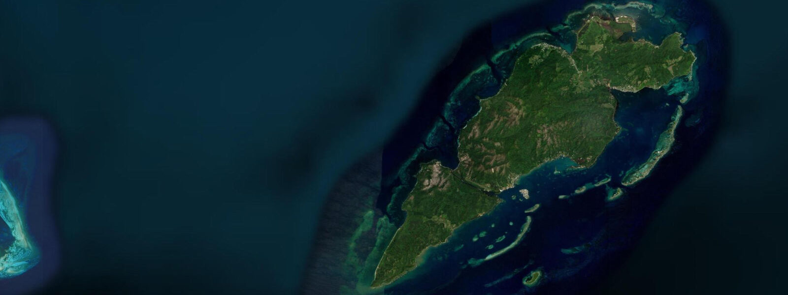
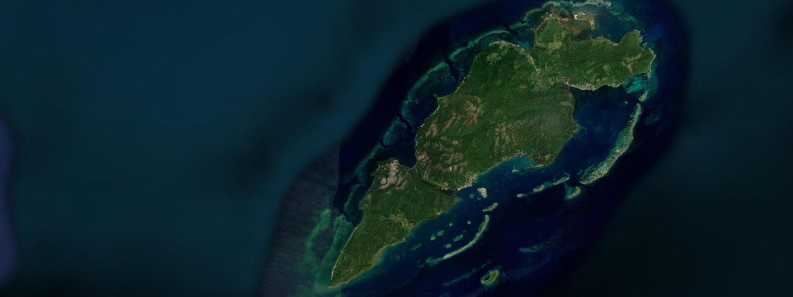
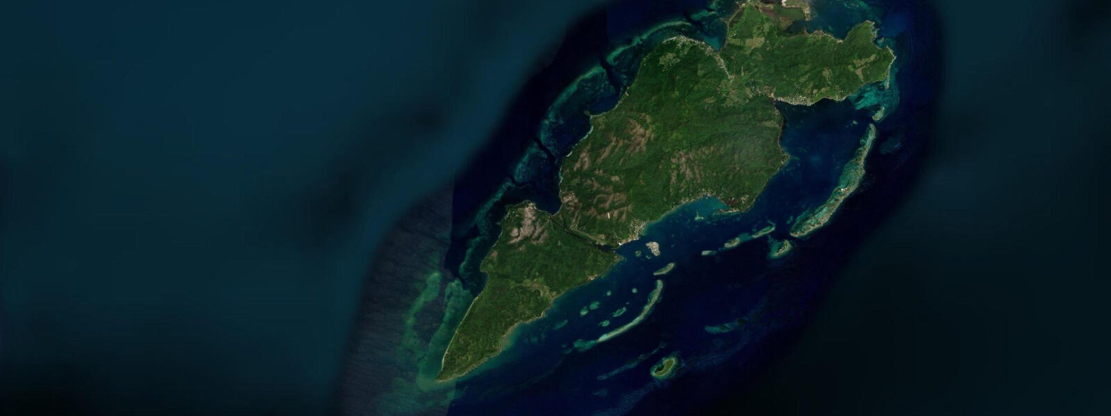
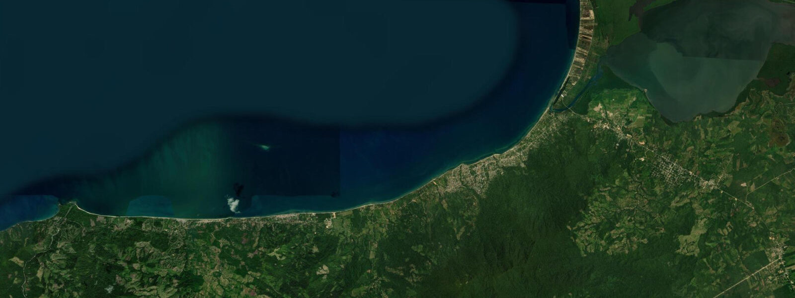
Mangrove Bight occupies the northwest corner of Guanaja, the point where the principal ferry from La Ceiba docks and the first land most visitors touch on the island. The name is accurate: the shoreline behind the dock is dense red mangrove, the roots intertwined with the muddy substrate of the sheltered embayment. Bonacca — the commercial cay that functions as the island's capital — sits a short boat ride to the south, its wooden buildings packed onto a small islet with no natural ground to spare.
Tides here follow the Bay Islands microtidal pattern: spring range 20–50 cm, mixed semidiurnal character. Open-Meteo Marine supplies the forecast data for this location — timing accuracy is ±45 minutes, height accuracy ±0.2–0.3 m. The small range makes intertidal zone work predictable, and the mangrove fringe remains submerged even at low water, which matters for the juvenile fish and crustaceans that use the root system as nursery habitat.
For kayakers, Mangrove Bight is the best entry point on Guanaja for a mangrove circuit. The root tunnels and shallow channels behind the dock can be paddled at any tidal state, though slightly higher water (within two hours of high tide) opens more of the interior passages. Birding from a kayak here is exceptional: reddish egrets, tricoloured herons, and green kingfishers work the root margins. Osprey are a fixture above the bight year-round.
Anglers fishing the mangrove edges at dawn — before the morning ferry disturbs the water — will find snook and tarpon holding at the root edges, particularly where the tidal current creates a slow circular flow inside the bight. Tarpon in the 10–30 kg range move through on incoming tides between April and July. Light tackle with surface lures works well in the pre-dawn flat calm.
The ferry dock itself provides a concrete platform for casual fishing after the boat traffic dies down in the early afternoon. Yellowtail snapper respond to small cut bait dropped at the dock pilings, especially on an ebbing tide when current concentrates food scraps.
Beach families won't find a traditional beach here — the shoreline is mangrove rather than sand. The nearest sandy beaches are a short water taxi ride south toward the western end of the main island. However, the calm protected water in front of the dock is safe for supervised swimming from the dock itself, and the shallow clear water over the sand patch 200 m north of the ferry terminal has a gentle sandy bottom accessible from a dinghy.
The view from Mangrove Bight southwest toward Bonacca and the Pine Ridge hills behind it is one of the most characteristic in the Bay Islands: low wooden town on a cay, steep green hills behind, open Caribbean sky. Morning light from the northeast hits this scene cleanly. Photographers working the ferry arrival get strong candid frames as passengers disembark onto the wooden dock.
Tide questions about Mangrove Bight, Guanaja
Quick answers to the most common questions about tide times, range, and water access at Mangrove Bight, Guanaja.
Is Mangrove Bight the main ferry landing for Guanaja?
The principal ferry from La Ceiba to Guanaja docks at Mangrove Bight on the northwest shore of the main island. From there, water taxis connect to Bonacca (the commercial cay), Savannah Bight (east coast), and the small resorts along the south shore. The dock is functional rather than scenic — a concrete pier with a small covered waiting area. Ferry schedules run roughly three times a week from La Ceiba; confirm current schedules with your accommodation or the ferry operator in La Ceiba before travel. Tidal state doesn't affect the ferry dock access.
Can I kayak through the mangroves at Mangrove Bight?
The mangrove channels behind the northwest shore of Guanaja are navigable by kayak at any tidal state, though the two hours around high water open the most interior channels. Sit-on-top kayaks are preferable to sea kayaks for the tighter root passages. No commercial kayak rental operates at Mangrove Bight — bring your own or arrange rental through a dive resort on the island's south side. The circuit through the main mangrove stands and back takes 2–3 hours at a relaxed pace. Take a compass or GPS: the channel network is disorienting inside the dense canopy.
What tidal conditions are best for tarpon fishing at Mangrove Bight?
Tarpon concentrate at the mangrove edges on incoming tides, typically the two hours before the higher high water. They use the rising water to push into the root systems in pursuit of mullet and small baitfish. The April–July period sees the largest numbers of fish moving through. Tide timing from Open-Meteo Marine carries ±45-minute uncertainty, so arrive early and watch the water for rolling fish before committing to a spot. Dawn to 90 minutes after sunrise is the most productive window — boat traffic from the morning ferry run disperses fish after that. Use 20–30 lb braid with a short fluorocarbon leader and a surface plug or large streamer fly.
What bird species can I see from the Mangrove Bight kayak circuit?
The mangrove fringe at Mangrove Bight holds a consistent year-round roster: reddish egret, tricoloured heron, little blue heron, snowy egret, and green kingfisher are the most reliable sightings. Brown pelican and magnificent frigatebird work the open water outside the mangrove edge. Osprey nest on the larger trees above the bight and fish the shallows throughout the year. During the October–April boreal winter, several North American wood warbler species (including prothonotary warbler and northern waterthrush) use the mangrove margins as stopover and wintering habitat. Early morning paddling produces the highest activity.
What is the tide range at Mangrove Bight and does it drain the mangroves?
Spring tidal range is 20–50 cm — consistent with Bay Islands Caribbean microtidal conditions. The mangrove root system stays submerged throughout the tidal cycle at all but the very lowest astronomical tides. This continuous inundation is part of what makes the mangroves here functionally intact as fish nursery and invertebrate habitat. Tidal data is provided by Open-Meteo Marine (±45-minute timing, ±0.2–0.3 m height accuracy). Neap tidal ranges drop below 20 cm, further reducing the drainage effect. For practical purposes, kayakers can plan any time of day without concern about being stranded by falling water.
8-day tide table — Mangrove Bight, Guanaja
Heights relative to MSL. Predictions: Open-Meteo Marine (MeteoFrance SMOC, 0.08° grid) — heights relative to MSL (not chart datum / LAT). Model-derived.
| Day | Type | Time | Height |
|---|---|---|---|
| Fri 03 Jul | Low | 18:00 | 0.0m |
| High | 23:10 | 0.1m | |
| Sat 04 Jul | Low | 17:00 | 0.0m |
| Sun 05 Jul | High | 13:10 | 0.1m |
| Low | 18:50 | 0.0m | |
| Mon 06 Jul | — | ||
| Tue 07 Jul | High | 15:00 | 0.1m |
| Wed 08 Jul | — | ||
| Thu 09 Jul | — | ||
| Fri 10 Jul | Low | 11:00 | -0.1m |
| High | 17:00 | 0.2m | |