Guanaja, Honduras tide times
Guanaja, Honduras tide forecast — heights relative to MSL.
Today's tide times for Guanaja, Honduras
Tide times at Guanaja, Honduras on Friday, 3 July 2026: first low tide at 06:00pm, first high tide at 11:10pm. Sunrise 05:15am, sunset 06:20pm.
Tide chart for Guanaja, Honduras
24-hour cosine-interpolated curve around the present moment. Heights relative to MSL. Predictions: Predictions: Open-Meteo Marine (MeteoFrance SMOC, 0.08° grid).
Sun, moon and conditions on Fri 03 Jul
Snapshot at build time — refreshes daily. Sea state from Open-Meteo Marine.
Highs and lows next 7 days
Every predicted high and low for the next week, with the daily tidal coefficient (0–120; higher = bigger swing, > 95 means stronger currents).
Other spots nearby
The three closest curated TideTurtle locations to Guanaja, Honduras, measured by great-circle distance.
Today's solunar windows
Solunar tradition: major periods are the ≈3h windows around moon transit and opposition; minor are ≈2h around moonrise and moonset. Pair with the local tide stage and wind for the best read.
About tides at Guanaja, Honduras
A short guide to the coastline at Guanaja, Honduras — geography, sea state, and what the tide is actually doing under your feet.
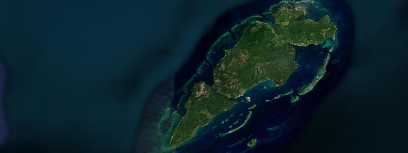
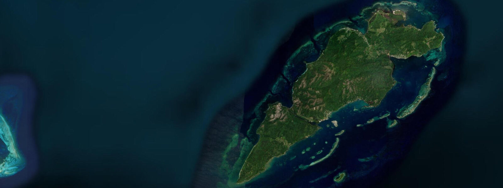
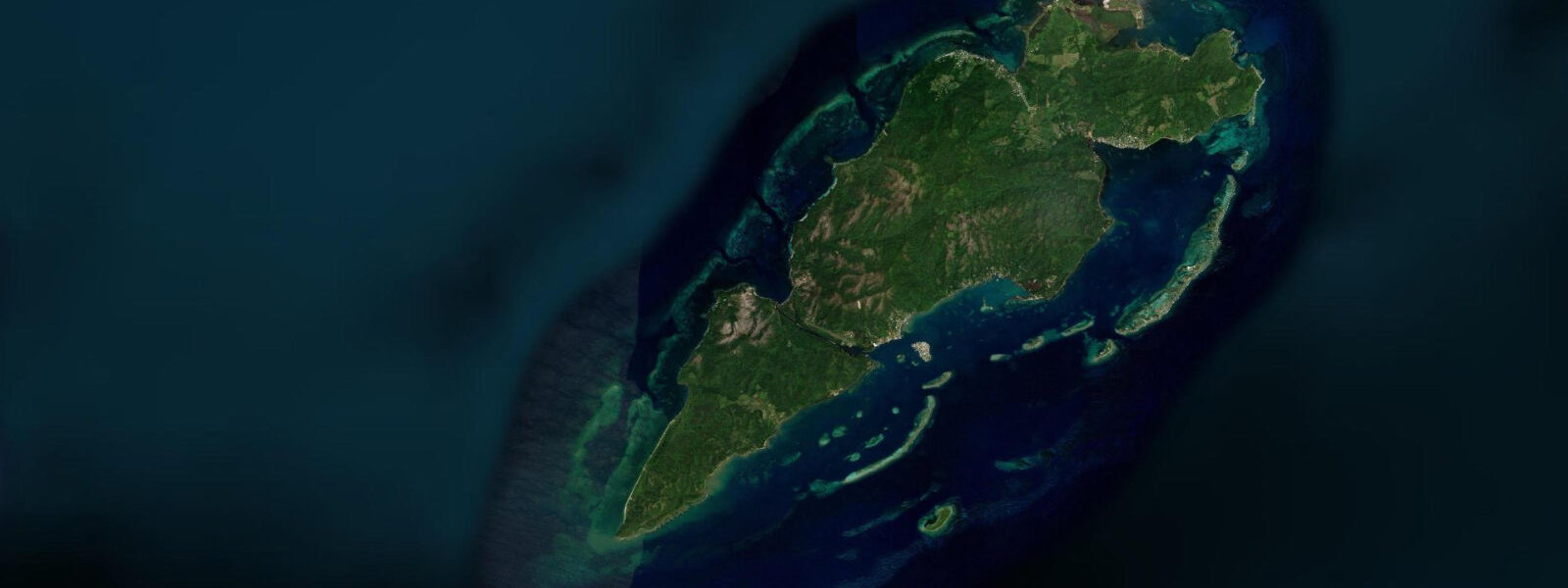
Guanaja is the easternmost of Honduras's Bay Islands, the most isolated, and the most dramatically green. Steep ridges covered in Caribbean pine and broadleaf forest run to the water's edge; there is almost no flat coastal land. The main settlement, Bonacca — also called Guanaja Town — sits on a small cay 500 m offshore, its wooden structures raised above the water on pilings, connected by boardwalks and accessed by water taxi rather than any road. It is one of the few towns in Central America with no motor vehicles at all.
Hurricane Mitch made direct landfall over Guanaja in October 1998 at Category 5 intensity, the most powerful storm to strike the island on record. The damage was total: the forest on the hillsides was stripped, buildings collapsed, and the recovery took most of a decade. What returned was a quieter, more self-reliant version of the island. The pine forest regenerated, the fishing rebuilt, and the dive operations reopened for the small number of visitors who seek out Guanaja specifically because it is not Roatán.
The tidal regime is Caribbean microtidal, spring range 0.3 to 0.5 metres, mixed semidiurnal. Weather dominates water-level variation, as it does across the Bay Islands. The east and north coasts are more exposed to Atlantic swell than the south-facing anchorages, and a strong cold front (norte) in winter can raise the water level along the north shore by 0.3 to 0.5 m above the predicted astronomical high.
The diving on Guanaja's north and east walls is what draws the divers who know about this island. The wall starts shallow — 5 to 10 m on the reef flat — and drops vertically into several hundred metres of clear blue water. The current runs roughly east to west on the flood, pushing plankton along the wall face and concentrating the filter feeders: large barrel sponges, basket sponges, and orange elephant ear sponges in sizes that reflect decades of undisturbed growth. Eagle rays and large grouper use the current seam at the drop-off. The north wall sites — Black Rocks, Jado Trader (a deliberately sunk wreck at 30 m) — are the reference dives. The Jado Trader wreck has been colonised over 30 years: the hull is encrusted and the interior holds glassfish clouds and the grouper that follow them.
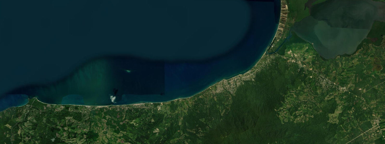
Snorkellers and swimmers work the calmer south-side coves and the shelf between the island and the Bonacca cay. The water is clear, coral heads are distributed across the shelf in 2 to 5 m, and there is minimal boat traffic outside the water-taxi lane. The predicted tidal range (0.3 to 0.5 m) does not meaningfully change the snorkel character, but the higher half of the tide covers the shallowest coral heads and makes finning more comfortable without touching the bottom.
Anglers out of Guanaja target the offshore Honduran deep — the Caribbean trench system to the north drops well below 1,000 m within reasonable boat range. The species mix is the western Caribbean standard: mahi-mahi, wahoo, kingfish inshore; blue marlin, sailfish further out. The current running along the island's north face concentrates baitfish during the flood, and the reef edge produces cubera snapper and black grouper on light tackle.
For families or less mobile visitors, Bonacca itself has grocery shops, a medical clinic, and a few restaurants. The island's single hotel road is the water taxi — run to the dive lodges on the south side or the fish camp on the northeast by boat. There are no ATMs; cash is the only currency in circulation.
Photographers documenting the island face an unusual subject: the water-on-stilts town of Bonacca is visually distinct — coloured wooden buildings, dense vertical packing, the ridge rising steeply behind. Late afternoon light from the west illuminates the settlement face for 30 minutes before sunset. Underwater, the sponge formations on the north wall in natural light (with a dive torch for colour correction below 15 m) are among the more texturally interesting coral reef subjects in the Caribbean.
Predictions on this page come from Open-Meteo Marine, a global gridded ocean model. Accuracy is ±45 minutes on timing and ±0.2 to 0.3 metres on height.
Tide questions about Guanaja, Honduras
Quick answers to the most common questions about tide times, range, and water access at Guanaja, Honduras.
When is the next high tide at Guanaja?
The predicted next high tide at Guanaja is shown at the top of this page in Central Standard Time (CST, UTC-6). Spring range is 0.3 to 0.5 metres — microtidal Caribbean. North-facing shores are exposed to cold-front surges in winter (nortes) that can equal or exceed the tidal range. Predictions come from Open-Meteo Marine (gridded, ±45 min / ±0.2–0.3 m).
How do you get to Guanaja?
Guanaja has a small airport (GJA) with scheduled service from La Ceiba on the Honduran mainland (Aerolineas Sosa and CM Airlines operate the route). The crossing from La Ceiba by boat is not standard for visitors. On the island, all transport between Bonacca and the dive lodges is by water taxi. There are no roads and no vehicles on Guanaja proper or on Bonacca — only boardwalks and water.
What are the best dive sites at Guanaja?
The north wall sites are the reference dives: Black Rocks offers the deepest uninterrupted drop-off and the largest sponge formations; the Jado Trader wreck at 30 m has 30+ years of colonisation and resident schools of glassfish and large grouper. Both are best on the slack near the predicted tide change, when current at the wall face is minimal. Advanced open water or above; 40 m depth reached easily on the north wall. Local dive operator briefings on current and viz are mandatory.
Where do tide predictions for Guanaja come from?
Predictions come from Open-Meteo Marine, a global gridded ocean model. There is no active local tide gauge on Guanaja; the model estimates tidal height from a geographic grid covering the Bay Islands. Accuracy class: ±45 minutes on timing, ±0.2 to 0.3 metres on height. The INAHMI (Instituto Nacional de Meteorología e Hidrología de Honduras) publishes Bay Islands tidal reference data, and the Honduran Navy hydrographic service maintains the regional tide table record. For dive planning on the north wall sites where current matters, local dive operator knowledge of the site-specific lag between the tide change and the current peak is more reliable than the broad model prediction.
Is this safe to use for navigation?
No. TideTurtle is a planning tool, not a nautical almanac. Navigation around Guanaja, including the reef approaches from the north and east and the passage into Bonacca anchorage on the south side, requires current charts and awareness of the complex reef structure on the island's exposed north coast. Strong current in the Guanaja Channel between the island and the mainland Bay Islands requires careful routing. Open-Meteo Marine gridded predictions are not a substitute for authoritative harmonic data for any vessel operation.
8-day tide table — Guanaja, Honduras
Heights relative to MSL. Predictions: Open-Meteo Marine (MeteoFrance SMOC, 0.08° grid) — heights relative to MSL (not chart datum / LAT). Model-derived.
| Day | Type | Time | Height |
|---|---|---|---|
| Fri 03 Jul | Low | 18:00 | 0.0m |
| High | 23:10 | 0.1m | |
| Sat 04 Jul | Low | 17:00 | 0.0m |
| Sun 05 Jul | High | 13:10 | 0.1m |
| Low | 18:50 | 0.0m | |
| Mon 06 Jul | — | ||
| Tue 07 Jul | High | 15:00 | 0.1m |
| Wed 08 Jul | — | ||
| Thu 09 Jul | — | ||
| Fri 10 Jul | Low | 11:00 | -0.1m |
| High | 17:00 | 0.2m | |