Les Cayes tide times
Les Cayes tide forecast — heights relative to MSL.
Tide chart for Les Cayes
24-hour cosine-interpolated curve around the present moment. Heights relative to MSL. Predictions: Predictions: Open-Meteo Marine (MeteoFrance SMOC, 0.08° grid).
Sun, moon and conditions on Fri 03 Jul
Snapshot at build time — refreshes daily. Sea state from Open-Meteo Marine.
Highs and lows next 7 days
Every predicted high and low for the next week, with the daily tidal coefficient (0–120; higher = bigger swing, > 95 means stronger currents).
Other spots nearby
The three closest curated TideTurtle locations to Les Cayes, measured by great-circle distance.
Today's solunar windows
Solunar tradition: major periods are the ≈3h windows around moon transit and opposition; minor are ≈2h around moonrise and moonset. Pair with the local tide stage and wind for the best read.
About tides at Les Cayes
A short guide to the coastline at Les Cayes — geography, sea state, and what the tide is actually doing under your feet.
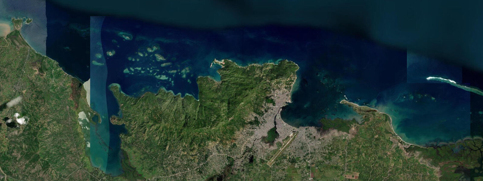
Les Cayes, also written Aux Cayes, is the main port of Haiti's southern peninsula — the administrative centre of the Sud department and the economic hub of the western Tiburon Peninsula region. The town faces south across the Bay of Cayes into the Caribbean Sea. The bay is partially enclosed by a system of offshore shoals and the Île-à-Vache to the southwest, creating a coastal zone that is more sheltered than the open southern Caribbean.
5 metres. The Port des Cayes handles inter-island ferry traffic, coastal cargo, and the fuel imports that supply the southern region; the commercial quay is the active centre of the waterfront. Île-à-Vache (Cow Island) is 45 minutes by boat from Les Cayes — a 10-kilometre island of approximately 14,000 residents with no cars, minimal electricity infrastructure in most communities, and beaches and coral reef that represent some of the least-visited coastal resources in the Caribbean.
The island's eastern tip has a sand beach of several kilometres with close-in coral reef beginning at 1 to 2 metres depth. The reef on Île-à-Vache's south and west faces is in better condition than most easily accessible Caribbean reef because of the minimal boat traffic and the low density of human pressure; it has not been systematically documented by coral health surveys. Port Morgan, on the northwest corner of Île-à-Vache, is an eco-lodge operation that has been running for several decades and serves as the primary tourist infrastructure point for the island.
The rest of the island is fishing village communities accessible by motorised canoe. Hurricane Matthew (October 2016) was catastrophic for the Les Cayes region — the hurricane made landfall near Chardonnières to the southwest with 145-knot winds and a significant storm surge, and the coastal communities of the Sud department sustained the most severe damage of any region in Haiti in that event. Recovery has been ongoing.
The coastal reef that provides artisanal fishing for the southern peninsula communities — snapper, grouper, lobster, conch — is the economic foundation for the coastal population; the fishing is traditional and minimally capitalised. Predictions on this page come from Open-Meteo Marine, a gridded global ocean model. 3 metres on height — model-derived, not from a local gauge.
The Hydrographie Nationale d'Haïti is the national maritime authority.
Tide questions about Les Cayes
Quick answers to the most common questions about tide times, range, and water access at Les Cayes.
How do I get to Île-à-Vache from Les Cayes?
Boats to Île-à-Vache depart from the pier at Les Cayes — motorised wooden canoes that carry 10 to 20 passengers and make the crossing in 30 to 45 minutes depending on sea conditions. The service is informal; boats depart when they are full or when a charter is agreed. Negotiate the fare before boarding. The Port Morgan eco-lodge on the island's northwest end provides boat transfers for guests, which is a more comfortable option. Sea conditions in the Bay of Cayes are generally manageable; the open water between the bay and the island can be choppy in trade wind conditions. Avoid crossing in deteriorating weather.
What is the reef like at Île-à-Vache?
Île-à-Vache's reef on the south and west faces has not been formally documented by recent coral health surveys, but local fishermen and the occasional visiting diver report diverse coral and fish life — grouper, snapper, barracuda, lobster, and conch — in conditions that reflect the low pressure from human activity. The reef begins in 1 to 2 metres on the eastern tip beach and drops through coral gardens to deeper zones. The absence of commercial dive infrastructure means access is by boat with local guides rather than through an organised operator. Port Morgan can arrange boat trips to snorkel sites.
What was the impact of Hurricane Matthew on Les Cayes?
Hurricane Matthew made landfall on 4 October 2016 near Chardonnières, approximately 50 kilometres southwest of Les Cayes, as a Category 4 hurricane with sustained winds of 145 knots and significant storm surge. The Sud department sustained the most severe damage of any Haitian region — crop losses exceeded 90 percent in many communes, coastal communities were destroyed by storm surge, and the death toll in the southern peninsula was the majority of Haiti's overall Matthew fatalities. The town of Les Cayes itself suffered infrastructure damage. Recovery has been ongoing but coastal communities, which have the least structural protection against storm surge, remained vulnerable years after the event.
Is there accommodation at Les Cayes?
Les Cayes has a small number of hotels and guesthouses that serve the commercial traffic to the region — businesspeople, NGO workers, and the occasional traveller heading for Île-à-Vache. The accommodation is functional rather than resort-quality. Port Morgan eco-lodge on Île-à-Vache is the only tourism-oriented accommodation in the broader area; it is the base for exploring the island's beaches and reef. Advance booking for Port Morgan is essential; capacity is limited and the lodge is the island's primary visitor infrastructure.
What fish is available in Les Cayes?
The artisanal fishery of the southern peninsula produces snapper (yellowtail, mutton, red), grouper, lobster (Caribbean spiny lobster), conch, barracuda, and various reef species. The fish market in Les Cayes operates daily, with the best supply in the early morning when overnight boats return. Lobster and conch are seasonal; Caribbean spiny lobster has a closed season from March through July under Haitian fisheries regulation (though enforcement is inconsistent). The fish supply for Les Cayes also comes from Île-à-Vache fishermen who sell at the Les Cayes market. Fresh fish prices in Les Cayes are lower than in Port-au-Prince given the proximity to the fishing grounds.
7-day tide table — Les Cayes
Heights relative to MSL. Predictions: Open-Meteo Marine (MeteoFrance SMOC, 0.08° grid) — heights relative to MSL (not chart datum / LAT). Model-derived.
| Day | Type | Time | Height |
|---|---|---|---|
| Fri 03 Jul | — | ||
| Sat 04 Jul | — | ||
| Sun 05 Jul | — | ||
| Mon 06 Jul | — | ||
| Tue 07 Jul | — | ||
| Wed 08 Jul | High | 19:00 | 0.5m |
| Thu 09 Jul | Low | 10:00 | 0.3m |
| High | 19:00 | 0.6m | |