Jacmel tide times
Jacmel tide forecast — heights relative to MSL.
Tide chart for Jacmel
24-hour cosine-interpolated curve around the present moment. Heights relative to MSL. Predictions: Predictions: Open-Meteo Marine (MeteoFrance SMOC, 0.08° grid).
Sun, moon and conditions on Fri 03 Jul
Snapshot at build time — refreshes daily. Sea state from Open-Meteo Marine.
Highs and lows next 7 days
Every predicted high and low for the next week, with the daily tidal coefficient (0–120; higher = bigger swing, > 95 means stronger currents).
Other spots nearby
The three closest curated TideTurtle locations to Jacmel, measured by great-circle distance.
Today's solunar windows
Solunar tradition: major periods are the ≈3h windows around moon transit and opposition; minor are ≈2h around moonrise and moonset. Pair with the local tide stage and wind for the best read.
About tides at Jacmel
A short guide to the coastline at Jacmel — geography, sea state, and what the tide is actually doing under your feet.
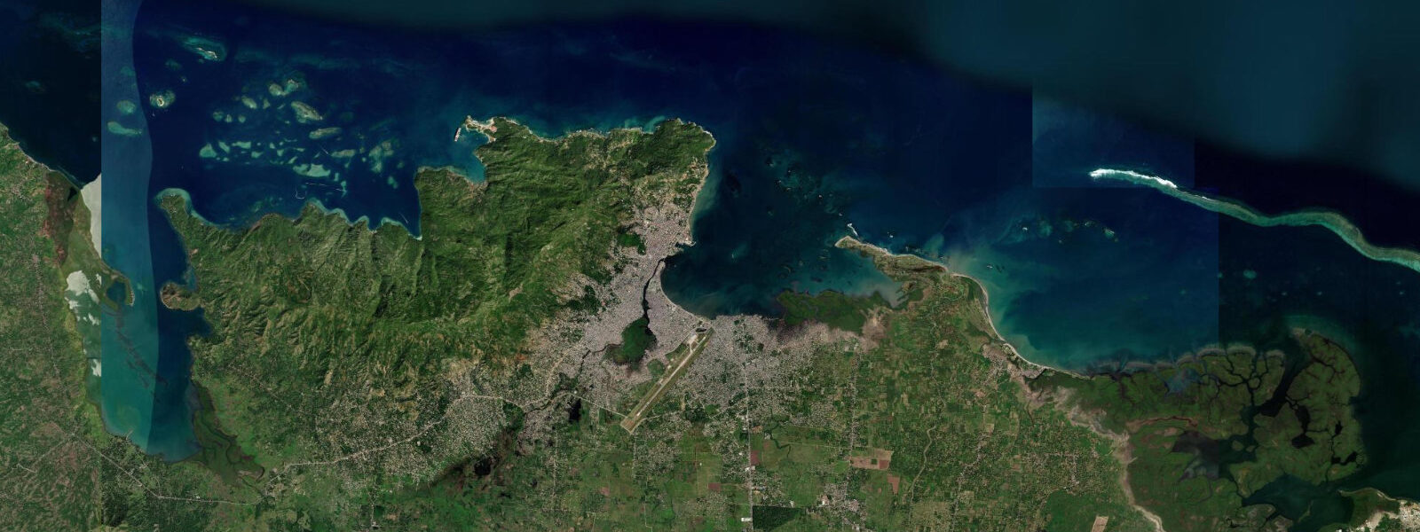
Jacmel is a coastal town on the southern coast of Haiti, in the Sud-Est department, facing the Caribbean Sea. It is arguably the most architecturally preserved colonial town in Haiti — the ironwork balconies, gingerbread wooden filigree facades, and 19th-century French colonial buildings that line the streets above the waterfront survived the 2010 earthquake (which devastated Port-au-Prince to the northwest) with significant but not complete losses. The town was historically a major coffee export port — Jacmel coffee, grown in the mountains of the Massif de la Selle immediately inland, was among the finest in the Caribbean in the 19th century, and the merchant houses along the Grand Rue and the waterfront were built on that trade.
The merchant warehouses, some with their original iron export doors, are still standing. 5 metres. 0 metre in normal conditions, with larger events during the September to October passage of Atlantic storm systems.
The Jacmel waterfront has a concrete seawall with a small commercial harbour. Local fishing boats — painted pirogues — work the reef and the open Caribbean from the beach east of the harbour. The coral reef system off Jacmel's southern coast extends west toward Les Cayes and east toward the Dominican border; reef condition is variable and poorly documented by current survey.
The town's arts scene is genuine and active. Jacmel has produced a disproportionate number of Haitian visual artists and the papier-mâché craft tradition — elaborate carnival masks and figures — has its most sustained community of practitioners here. The Carnaval de Jacmel, held in February, is one of the best in Haiti and involves processions of papier-mâché costumes and traditional characters through the colonial streets.
The Fête de la Saint-Anne in July draws pilgrims to the church and fair on the waterfront. The beach at Cayes-Jacmel, 5 kilometres west of town, is one of the better swimming beaches accessible from Jacmel — a 400-metre sand beach backed by palm trees with calmer conditions than the open harbour front. Predictions on this page come from Open-Meteo Marine, a gridded global ocean model.
3 metres on height — model-derived, not from a local gauge. The Hydrographie Nationale d'Haïti is the national maritime authority.
Tide questions about Jacmel
Quick answers to the most common questions about tide times, range, and water access at Jacmel.
What colonial architecture can I see in Jacmel?
The Grand Rue and the streets running parallel to the waterfront contain the best concentration of 19th-century French colonial architecture in Haiti — merchant houses with ironwork balconies cast in France or in early Haitian foundries, gingerbread wooden filigree on upper facades, and the large warehouse buildings with their heavy iron doors that were used to secure coffee and cocoa before export. Several of the major buildings were damaged in the 2010 earthquake; some have been stabilised or restored with international conservation funding. The Maison Dufort and the old customs house are among the most photographed buildings. The ISPAN (Institut de Sauvegarde du Patrimoine National) manages the heritage area.
What is the Jacmel Carnival?
The Carnaval de Jacmel, held in February before Lent, is known for its papier-mâché costumes — elaborate handmade figures and masks created by Jacmel's artisan community. The tradition includes characters from Haitian folklore, African heritage, and current political satire rendered in painted papier-mâché. The procession through the colonial streets is one of the most visually distinctive carnival events in the Caribbean. The artisan workshops that produce the costumes are active year-round and some welcome visitors; the best concentration is in the Rue du Commerce and the back streets near the waterfront. February carnival draws Haitians from Port-au-Prince and the diaspora.
How do I get from Port-au-Prince to Jacmel?
The Route Nationale 2 from Port-au-Prince climbs through the Massif de la Selle and descends to Jacmel — approximately 85 kilometres that take 2.5 to 3.5 hours by road depending on condition and traffic. Several bus companies operate the route; private tap-tap services also cover it. The road includes mountain sections that require care in wet weather. A direct road through the Kenscoff-Cayes-Jacmel route is shorter in distance but the mountain section is steep. Flight options are occasionally available from Port-au-Prince's domestic terminal; check locally for current operators as the domestic airline situation in Haiti changes.
What beaches are accessible from Jacmel?
Cayes-Jacmel, approximately 5 kilometres west of the town by road, is a 400-metre Caribbean beach backed by palm trees — calmer and better for swimming than the open harbour front in Jacmel town. Ti Mouillage beach is directly accessible from the Jacmel waterfront. Raymond-les-Bains, 10 kilometres east, is another option with a quieter character and a small local hotel. All beaches face south into the Caribbean with a spring tidal range of 0.3 to 0.5 metres. The water is warm year-round (26 to 29 degrees Celsius at the surface); reef snorkelling is possible at Cayes-Jacmel.
What is the tidal range at Jacmel?
Jacmel's tidal regime is Caribbean microtidal — mixed semidiurnal, mean spring range approximately 0.3 to 0.5 metres. The astronomical tide is small; the dominant water-level variations at the harbour and the nearby beaches come from seasonal Caribbean swell and the occasional storm surge from tropical weather systems tracking north through the Caribbean. The small tidal range means beach width changes minimally between high and low water — the beach is usable at all states of tide. The NOAA gauge at Port-au-Prince is the nearest tide reference; secondary port corrections apply for the Jacmel area.
7-day tide table — Jacmel
Heights relative to MSL. Predictions: Open-Meteo Marine (MeteoFrance SMOC, 0.08° grid) — heights relative to MSL (not chart datum / LAT). Model-derived.
| Day | Type | Time | Height |
|---|---|---|---|
| Fri 03 Jul | — | ||
| Sat 04 Jul | High | 01:00 | 0.5m |
| Sun 05 Jul | — | ||
| Mon 06 Jul | Low | 10:00 | 0.3m |
| Tue 07 Jul | — | ||
| Wed 08 Jul | — | ||
| Thu 09 Jul | High | 19:00 | 0.6m |