Labadie tide times
Labadie tide forecast — heights relative to MSL.
Today's tide times for Labadie
Tide times at Labadie on Friday, 3 July 2026: first low tide at 04:45am, first high tide at 10:15am, second low tide at 04:06pm, second high tide at 10:42pm. Sunrise 06:14am, sunset 07:32pm.
Tide chart for Labadie
24-hour cosine-interpolated curve around the present moment. Heights relative to MSL. Predictions: Predictions: Open-Meteo Marine (MeteoFrance SMOC, 0.08° grid).
Sun, moon and conditions on Fri 03 Jul
Snapshot at build time — refreshes daily. Sea state from Open-Meteo Marine.
Highs and lows next 7 days
Every predicted high and low for the next week, with the daily tidal coefficient (0–120; higher = bigger swing, > 95 means stronger currents).
Other spots nearby
The three closest curated TideTurtle locations to Labadie, measured by great-circle distance.
Today's solunar windows
Solunar tradition: major periods are the ≈3h windows around moon transit and opposition; minor are ≈2h around moonrise and moonset. Pair with the local tide stage and wind for the best read.
Cycle dates near Labadie
Next spring tide on Wed 08 Jul (range 0.6m). Last neap on Thu 02 Jul.
Spring tides cluster around new and full moons (biggest swings). Neap tides land on quarter moons (smallest swings). See the spring tide and neap tide glossary entries for the why.
About tides at Labadie
A short guide to the coastline at Labadie — geography, sea state, and what the tide is actually doing under your feet.
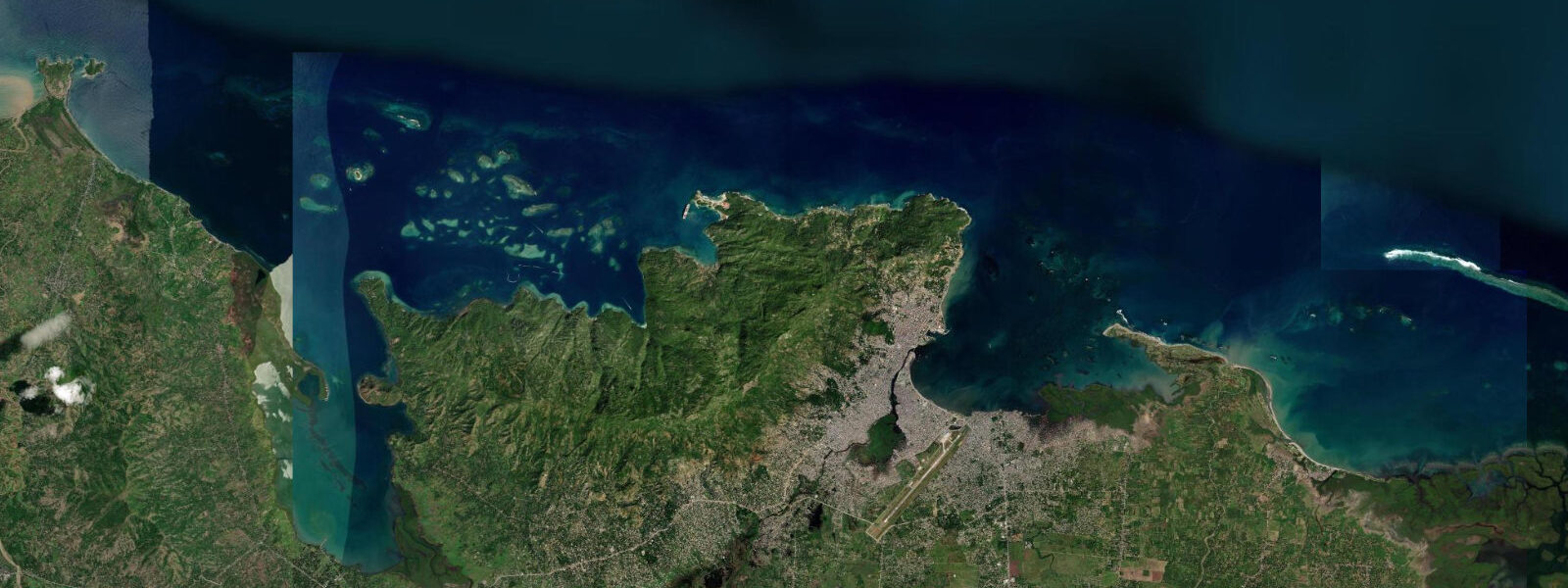
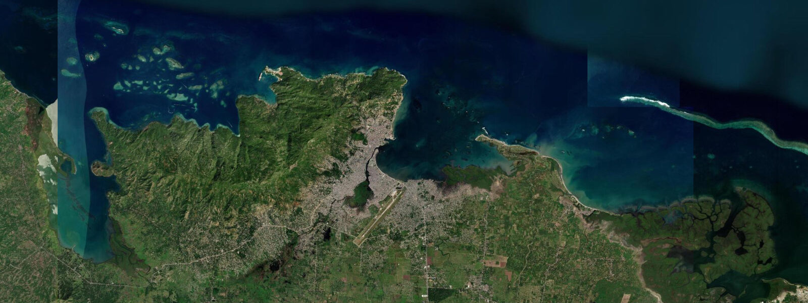
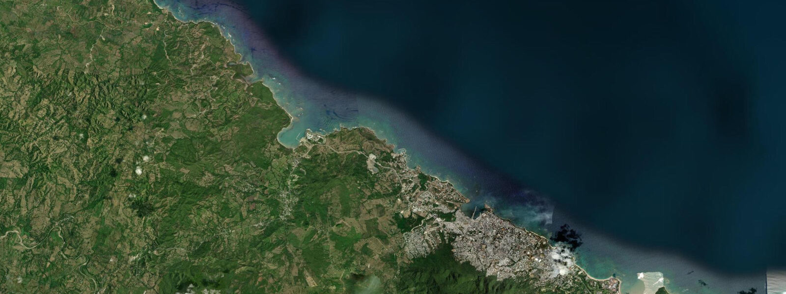
Labadie is a peninsula on the northern coast of Haiti, 15 kilometres west of Cap-Haïtien, where Royal Caribbean International has operated a private beach resort under a long-term lease agreement since 1985. The resort, marketed as Labadee, receives up to 7,000 cruise ship passengers per day in peak season from the cruise ships that anchor in the bay and tender passengers ashore. The private resort occupies the western and southern end of the peninsula; the village of Labadie, a Haitian fishing community, continues on the northern and eastern coast of the same peninsula largely independent of the resort operation.
5 metres, typical of the Windward Passage coastline. Water level variation is minor; the small Caribbean-adjacent tidal signal is less significant than the swell from north-facing cold front events in winter. The beach within the Royal Caribbean resort is genuinely attractive — a series of small sand beaches separated by wooded headlands, facing south into the sheltered bay and protected from north swell by the peninsula itself.
The coral reef on the outer northern and eastern coast of the Labadie peninsula is largely undocumented by current scientific survey but is accessible by local fishermen who can be hired for boat trips by independent visitors to the village side of the peninsula. The fishing village of Labadie has its own relationship with the sea — small-boat fishermen working the reef and the Windward Passage early morning, beach launches through the low shore break, and fish sales on the sand. The visual and economic contrast between the cruise resort operation and the adjacent Haitian village is stark and has been noted extensively in travel journalism and development economics literature.
From the cruise ship perspective, Labadie is one of the most visited private resort destinations in the Caribbean — the resort capacity means the throughput of passengers is among the highest of any Royal Caribbean private island. The Windward Passage visible from the northern shore is one of the busiest shipping lanes in the Caribbean, with container ships and tankers in regular view on their transit between the Atlantic and the Caribbean Sea. Predictions on this page come from Open-Meteo Marine, a gridded global ocean model.
3 metres on height — model-derived, not from a local gauge. The Hydrographie Nationale d'Haïti is the national maritime authority.
Tide questions about Labadie
Quick answers to the most common questions about tide times, range, and water access at Labadie.
Can independent travellers visit Labadie?
The Royal Caribbean resort on the Labadie peninsula is accessible only to cruise passengers on Royal Caribbean sailings — it is a private leased facility with controlled access. Independent travellers cannot purchase day passes or enter the resort side. The fishing village of Labadie on the peninsula's northern and eastern shore is accessible by local boat or road from Cap-Haïtien and is open to visitors, though there is no tourism infrastructure. Local fishermen can arrange boat tours of the reef on the outer coast. The visual distinction between the private resort end and the village end of the same small peninsula is a defining feature of Labadie's geography.
What is the reef like around the Labadie peninsula?
The coral reef on the northern and eastern face of the Labadie peninsula faces the Windward Passage and receives stronger water movement and clearer Atlantic water than the sheltered bay inside. The reef condition is considered better than the heavily-anchored sections near Cap-Haïtien but has not been systematically documented by modern coral health surveys. Local fishermen report diverse reef fish including grouper and snapper in the outer reef sections. Snorkelling access from the village side of the peninsula requires hiring a local boat; there is no commercial dive or snorkel operator currently working this coast independently of the cruise resort operation.
How many cruise passengers visit Labadie?
Royal Caribbean's Labadee private resort is one of the highest-throughput private island destinations in the Caribbean. Individual ship calls bring 3,000 to 7,000 passengers; with multiple ships calling per week in season, total annual passenger numbers are in the range of 1 million visitors per year to the private resort. Royal Caribbean's lease agreement with the Haitian government generates a reported fee per passenger plus a percentage of revenue, making Labadee a significant source of formal tourism revenue for Haiti in a sector that has otherwise been severely depressed by security conditions and natural disasters.
What is the Windward Passage?
The Windward Passage is the channel between the western tip of Haiti and the eastern tip of Cuba, approximately 80 kilometres wide. It connects the Atlantic Ocean to the northeast with the Caribbean Sea to the southwest and carries major commercial shipping traffic on the route between the Panama Canal, the US Gulf Coast, and the US eastern seaboard via the Atlantic. The passage was used by Columbus on his first voyage (1492) and has been a strategic maritime route since European contact. Tidal streams in the Windward Passage run up to 1 knot; the prevailing current sets northwest on the surface. The passage is an active shipping lane — vessels in transit are visible from the Labadie peninsula's northern shore throughout the day.
What is the weather like in northern Haiti?
Northern Haiti has a tropical climate moderated by the trade winds from the northeast. Temperatures on the coast at Cap-Haïtien and Labadie range from 25 to 32 degrees Celsius year-round. The dry season runs roughly November through April; the rainy season from May through October has the highest precipitation, concentrated in May through June and September through October. Hurricanes are a seasonal risk from June through November — Haiti sits in the main North Atlantic hurricane track and is particularly vulnerable given its topography and limited infrastructure. The 2010 earthquake epicentre was in the south; the northern region was less affected. October 2016's Hurricane Matthew caused severe damage in the southwest.
7-day tide table — Labadie
Heights relative to MSL. Predictions: Open-Meteo Marine (MeteoFrance SMOC, 0.08° grid) — heights relative to MSL (not chart datum / LAT). Model-derived.
| Day | Type | Time | Height |
|---|---|---|---|
| Fri 03 Jul | Low | 04:45 | 0.2m |
| High | 10:15 | 0.4m | |
| Low | 16:06 | 0.1m | |
| High | 22:42 | 0.6m | |
| Sat 04 Jul | Low | 05:20 | 0.2m |
| High | 11:00 | 0.5m | |
| Sun 05 Jul | Low | 06:00 | 0.1m |
| High | 11:54 | 0.5m | |
| Low | 17:50 | 0.2m | |
| Mon 06 Jul | High | 00:00 | 0.6m |
| Low | 06:40 | 0.1m | |
| High | 12:54 | 0.5m | |
| Low | 18:42 | 0.2m | |
| Tue 07 Jul | High | 00:42 | 0.6m |
| Low | 07:20 | 0.1m | |
| High | 13:47 | 0.6m | |
| Wed 08 Jul | Low | 07:55 | 0.0m |
| High | 14:47 | 0.6m | |
| Low | 21:00 | 0.2m | |
| Thu 09 Jul | High | 02:18 | 0.5m |
| Low | 08:40 | 0.0m | |
| High | 15:40 | 0.6m | |
| Low | 19:00 | 0.4m |