Fort-Liberté tide times
Fort-Liberté tide forecast — heights relative to MSL.
Today's tide times for Fort-Liberté
Tide times at Fort-Liberté on Friday, 3 July 2026: first low tide at 04:45am, first high tide at 10:18am, second low tide at 04:04pm, second high tide at 10:42pm. Sunrise 06:12am, sunset 07:30pm.
Tide chart for Fort-Liberté
24-hour cosine-interpolated curve around the present moment. Heights relative to MSL. Predictions: Predictions: Open-Meteo Marine (MeteoFrance SMOC, 0.08° grid).
Sun, moon and conditions on Fri 03 Jul
Snapshot at build time — refreshes daily. Sea state from Open-Meteo Marine.
Highs and lows next 7 days
Every predicted high and low for the next week, with the daily tidal coefficient (0–120; higher = bigger swing, > 95 means stronger currents).
Other spots nearby
The three closest curated TideTurtle locations to Fort-Liberté, measured by great-circle distance.
Today's solunar windows
Solunar tradition: major periods are the ≈3h windows around moon transit and opposition; minor are ≈2h around moonrise and moonset. Pair with the local tide stage and wind for the best read.
Cycle dates near Fort-Liberté
Next spring tide on Wed 08 Jul (range 0.7m). Last neap on Thu 02 Jul.
Spring tides cluster around new and full moons (biggest swings). Neap tides land on quarter moons (smallest swings). See the spring tide and neap tide glossary entries for the why.
About tides at Fort-Liberté
A short guide to the coastline at Fort-Liberté — geography, sea state, and what the tide is actually doing under your feet.
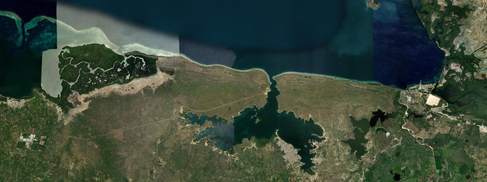
Fort-Liberté is a small town in northeastern Haiti on the Bay of Fort-Liberté — the most sheltered and protected natural anchorage on Haiti's north coast, a lagoon-like bay enclosed by mangrove-fringed shorelines and entered through a narrow channel from the Windward Passage. The bay is remarkable for its physical geography: roughly 5 kilometres wide and 6 kilometres deep, with depths of 6 to 15 metres in the main channel and extensive shallows in the inner sections where mangrove roots and sea grass grow. 4 metres — Caribbean microtidal — and the confined geometry of the bay means the tidal stream through the entrance channel is slightly amplified relative to the open coast.
The historical Fort Dauphin was established by the French on the bay in 1731 as the main northern port east of Cap-Français. The fortifications — walls, bastions, and cannon emplacements — are partially standing at several points around the bay and represent some of the most intact colonial-era military architecture in Haiti east of Cap-Haïtien. The town was renamed Fort-Liberté after independence in 1804, the name change expressing the same declaration of sovereign transformation that renamed towns across the new republic.
The bay's exceptional anchorage quality has made it historically important for navigation in the eastern Windward Passage region. The channel between Haiti and the Dominican Republic is narrow and the bay provides shelter from the northeast trades that blow steadily along the northern coast. The mangrove system in the inner bay is extensive — red, black, and white mangrove fringe the shallower sections, and the combined mangrove and sea grass habitat supports juvenile fish, shrimp, and the lobster that are fished commercially from the bay.
Frigate birds are a constant presence above the bay, soaring on the trade wind thermals and harassing fishing birds. Brown pelicans work the bay surface throughout the day. The bay offers kayaking conditions that are among the most sheltered in Haiti — the enclosed water, the mangrove channels, and the relatively low wave energy make it accessible to paddlers who would find the open northern coast challenging.
Predictions on this page come from Open-Meteo Marine, a gridded global ocean model. 3 metres on height — model-derived, not from a local gauge. The Hydrographie Nationale d'Haïti is the national maritime authority; the NOAA tide gauge at San Juan, Puerto Rico, provides regional reference data for the Windward Passage area.
Tide questions about Fort-Liberté
Quick answers to the most common questions about tide times, range, and water access at Fort-Liberté.
What is the Bay of Fort-Liberté?
The Bay of Fort-Liberté is a large, sheltered lagoon on the northeastern coast of Haiti, enclosed by mangrove-fringed shorelines and entered through a narrow channel from the Windward Passage. The bay is approximately 5 kilometres wide and 6 kilometres deep, with depths of 6 to 15 metres in the main channel. It is the most protected natural anchorage on Haiti's north coast — the colonial French recognised this and established Fort Dauphin on the bay in 1731 as the main eastern port. The bay contains significant mangrove habitat and seagrass beds in its shallower sections.
What colonial fortifications are at Fort-Liberté?
The fortifications at Fort-Liberté are the remnants of Fort Dauphin, established by France in 1731. Several bastion walls, cannon emplacements, and sections of the original perimeter survive in varying states of preservation around the bay. The main fort ruins are on the northern shore of the bay near the town. These structures are part of Haiti's colonial military heritage and are managed by ISPAN (Institut de Sauvegarde du Patrimoine National). The fortifications are less famous internationally than the Citadelle Laferrière near Cap-Haïtien but are architecturally significant as examples of French colonial fortification in the Caribbean.
How do I get to Fort-Liberté from Cap-Haïtien?
Fort-Liberté is approximately 65 kilometres east of Cap-Haïtien by road — about 1.5 to 2 hours by tap-tap or private vehicle on the Route Nationale 6 that runs along the northern coast toward the Dominican Republic border. The road passes through agricultural land and several small coastal towns. The border crossing at Ouanaminthe-Dajabón is approximately 30 kilometres further east on the same road. Fort-Liberté has basic accommodation and a market; it is a working town rather than a tourist destination, visited primarily for the bay's natural character and the colonial ruins.
Is the mangrove in Fort-Liberté Bay accessible by boat?
The mangrove channels in the inner sections of Fort-Liberté Bay are navigable by small flat-bottom boat or kayak at most states of tide. Local fishermen can arrange boat tours of the bay's interior, though there is no established ecotourism operation at Fort-Liberté — arrangements are made directly with local boat operators in the town. The combination of mangrove channels, sea grass beds, and the colonial ruins visible from the water makes the bay one of the more distinctive natural and historical boat tour experiences in northern Haiti.
What fish are caught in Fort-Liberté Bay?
The bay supports a productive artisanal fishery. Lobster (Caribbean spiny lobster, Panulirus argus) is taken from the rocky sections of the bay floor and from the mangrove edge structures; it is sold locally and in Cap-Haïtien markets. Snapper, grouper, and various reef fish are caught in the deeper sections of the bay and in the channel between the bay and the Windward Passage. Conch (Lobatus gigas) is harvested from the seagrass beds. The fishery is managed by traditional local practice rather than by a formal quota system; pressure on lobster and conch stocks has increased over time with population growth.
7-day tide table — Fort-Liberté
Heights relative to MSL. Predictions: Open-Meteo Marine (MeteoFrance SMOC, 0.08° grid) — heights relative to MSL (not chart datum / LAT). Model-derived.
| Day | Type | Time | Height |
|---|---|---|---|
| Fri 03 Jul | Low | 04:45 | 0.1m |
| High | 10:18 | 0.4m | |
| Low | 16:04 | 0.1m | |
| High | 22:42 | 0.6m | |
| Sat 04 Jul | Low | 05:18 | 0.1m |
| High | 11:06 | 0.5m | |
| Low | 16:55 | 0.1m | |
| High | 23:37 | 0.6m | |
| Sun 05 Jul | Low | 06:00 | 0.1m |
| High | 11:54 | 0.5m | |
| Low | 17:50 | 0.2m | |
| Mon 06 Jul | High | 00:00 | 0.6m |
| Low | 18:50 | 0.2m | |
| Tue 07 Jul | High | 00:50 | 0.5m |
| Low | 07:20 | 0.0m | |
| High | 13:50 | 0.6m | |
| Wed 08 Jul | Low | 07:52 | -0.0m |
| High | 14:40 | 0.6m | |
| Thu 09 Jul | Low | 08:40 | -0.0m |
| High | 15:40 | 0.6m | |
| Low | 19:00 | 0.4m |