Cap-Haïtien tide times
Cap-Haïtien tide forecast — heights relative to MSL.
Today's tide times for Cap-Haïtien
Tide times at Cap-Haïtien on Friday, 3 July 2026: first low tide at 04:45am, first high tide at 10:15am, second low tide at 04:00pm, second high tide at 10:42pm. Sunrise 06:14am, sunset 07:31pm.
Tide chart for Cap-Haïtien
24-hour cosine-interpolated curve around the present moment. Heights relative to MSL. Predictions: Predictions: Open-Meteo Marine (MeteoFrance SMOC, 0.08° grid).
Sun, moon and conditions on Fri 03 Jul
Snapshot at build time — refreshes daily. Sea state from Open-Meteo Marine.
Highs and lows next 7 days
Every predicted high and low for the next week, with the daily tidal coefficient (0–120; higher = bigger swing, > 95 means stronger currents).
Other spots nearby
The three closest curated TideTurtle locations to Cap-Haïtien, measured by great-circle distance.
Today's solunar windows
Solunar tradition: major periods are the ≈3h windows around moon transit and opposition; minor are ≈2h around moonrise and moonset. Pair with the local tide stage and wind for the best read.
Cycle dates near Cap-Haïtien
Next spring tide on Wed 08 Jul (range 0.6m). Last neap on Thu 02 Jul.
Spring tides cluster around new and full moons (biggest swings). Neap tides land on quarter moons (smallest swings). See the spring tide and neap tide glossary entries for the why.
About tides at Cap-Haïtien
A short guide to the coastline at Cap-Haïtien — geography, sea state, and what the tide is actually doing under your feet.
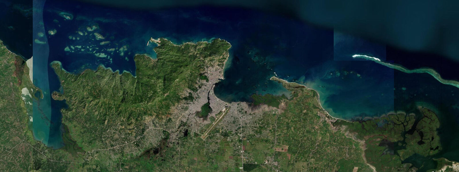
Cap-Haïtien is Haiti's second city, positioned on a bay of the Windward Passage on the northern coast, approximately 270 kilometres north of Port-au-Prince by road. In the 18th century it was the wealthiest city in the French colonial Caribbean — Cap-Français, as it was then known, exported sugar and coffee from the richest plantation economy in the New World and was called the Paris of the Antilles by travelers who admired its stone buildings, theatres, and formal gardens. That prosperity rested entirely on slave labor; the city's legacy is inseparable from the 1791 revolution that began 20 kilometres to the south on the Bois Caïman plantation and culminated in Haitian independence on 1 January 1804.
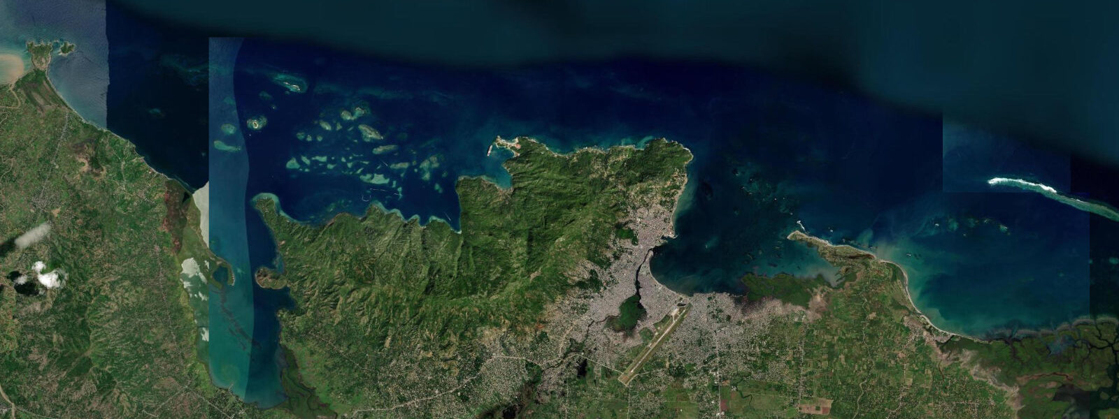
5 metres. The bay is partially sheltered by the headlands flanking it and by offshore shoals; wave energy inside the bay is generally low except during the passage of cold fronts from the north (nortes) in November through March, which generate northerly swell that enters the bay directly. The waterfront of Cap-Haïtien faces north across the bay.
The harbour receives container ships, fuel barges, and ferry traffic; commercial and informal fishing boats work the bay in the early morning. The coral reef system of the northern coast begins a few kilometres west of the city at Labadie and extends east along the coast; the reef near Cap-Haïtien itself is largely degraded close to the city by anchor damage and sediment. 5 to 2 hours.
The Citadelle Laferrière at 970 metres elevation is the largest fortress in the Caribbean — Henri Christophe's extraordinary construction of the early 19th century, a mountaintop fortress designed to resist French reconquest. The walls are 4 metres thick in places; the cannons from the Haitian revolution are still in position. The approach from Milot village involves a horseback or on-foot climb of approximately 8 kilometres gaining 600 metres of elevation; the jeep road from Cap-Haïtien to Milot takes 45 minutes.
The Sans-Souci Palace ruins below the Citadelle are the remnants of Henri Christophe's royal palace, built in a European neoclassical style in the mountains of northern Haiti in 1813 — a statement of Haitian sovereignty and civilizational achievement to the post-independence world. The palace was damaged by earthquake in 1842 and never rebuilt. Together, the Citadelle and Sans-Souci constitute one of the most historically significant sites in the Caribbean and among the most dramatically located monuments in the world.
Predictions on this page come from Open-Meteo Marine, a gridded global ocean model. 3 metres on height — model-derived, not from a local gauge. The Hydrographie Nationale d'Haïti is the national maritime authority; NOAA's tide gauge at San Juan, Puerto Rico, serves as the regional reference for the Windward Passage.
Tide questions about Cap-Haïtien
Quick answers to the most common questions about tide times, range, and water access at Cap-Haïtien.
How do I visit the Citadelle Laferrière from Cap-Haïtien?
Drive or take a tap-tap (shared vehicle) south from Cap-Haïtien to Milot village, approximately 20 kilometres — the journey takes 30 to 45 minutes on the road through the northern plain. From Milot, hire a horse or walk the 8-kilometre trail that gains 600 metres to the Citadelle. The horse hire is organised by local associations at the Milot trailhead; agree the price before starting. Walking takes 2 to 3 hours each way in the heat; bring 2 litres of water minimum. Guides are available and provide historical context. The site is managed by the Haitian Institute for the Preservation of the National Heritage (ISPAN). Entry fee applies. Start before 08:00 to avoid the midday heat and arrive at the Citadelle when the mist from the valleys clears.
Is it safe to travel to Cap-Haïtien?
Cap-Haïtien has historically been more stable than Port-au-Prince. The northern region was largely spared the gang violence that has disrupted travel in the capital region since 2021. However, the security situation in Haiti changes and should be assessed from current advisories from your government's foreign affairs department before travel — not from any static source including this one. When conditions allow, visitors travel to Cap-Haïtien specifically for the Citadelle and the northern coastal sites. The Labadie peninsula, 15 kilometres west, operates independently as a cruise ship port with a different security profile from the city proper.
What is the historical significance of Cap-Haïtien?
Cap-Haïtien (formerly Cap-Français) was the administrative and economic capital of Saint-Domingue, France's most productive colony. The city was the context for the Haitian Revolution — the only successful slave revolt in history — which began in August 1791 with the Bois Caïman ceremony south of the city and culminated in Haitian independence in 1804, the first Black republic in the world. The city was burned multiple times during the revolutionary period. Henri Christophe, who became king of northern Haiti, made Cap-Haïtien his capital again after independence and built the Citadelle in the mountains above to guard against French return. The city's colonial street grid and some 19th-century buildings survive.
What is the tidal range at Cap-Haïtien?
The tidal regime at Cap-Haïtien is mixed semidiurnal — two high waters and two low waters per day — with a mean spring range of approximately 0.3 to 0.5 metres. This is Caribbean microtidal, typical of the island's northern coast. The Windward Passage between Haiti and Cuba is a high-traffic shipping lane, and tidal streams in the passage itself run up to 1 knot; inside Cap-Haïtien Bay the streams are gentler. Water level variation in the harbour is more often driven by wind setup from northerly cold fronts (November through March) than by the astronomical tide. NOAA's San Juan Puerto Rico gauge is the nearest reference with long-term tide records.
What beaches are near Cap-Haïtien?
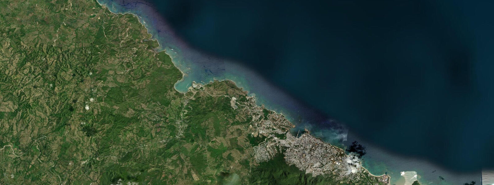
Cormier Plage, approximately 8 kilometres west of the city, is the nearest reasonable beach — a 200-metre arc of sand used by Cap-Haïtien residents and hosting a small hotel and restaurant. The beach at Labadie (Labadee), 15 kilometres west, is managed by Royal Caribbean as a private resort and is not accessible to independent visitors except as cruise passengers. The coral reef along the northern coast between Cap-Haïtien and the Dominican Republic border at Dajabon provides snorkelling opportunities accessible by local boat charter; the reef condition is variable but largely unstudied by modern scientific survey. The beaches on the northern coast east of Cap-Haïtien are accessible by road and see minimal tourism traffic.
7-day tide table — Cap-Haïtien
Heights relative to MSL. Predictions: Open-Meteo Marine (MeteoFrance SMOC, 0.08° grid) — heights relative to MSL (not chart datum / LAT). Model-derived.
| Day | Type | Time | Height |
|---|---|---|---|
| Fri 03 Jul | Low | 04:45 | 0.2m |
| High | 10:15 | 0.4m | |
| Low | 16:00 | 0.1m | |
| High | 22:42 | 0.6m | |
| Sat 04 Jul | Low | 05:18 | 0.2m |
| High | 11:00 | 0.5m | |
| Sun 05 Jul | Low | 06:00 | 0.1m |
| High | 12:00 | 0.5m | |
| Low | 17:50 | 0.2m | |
| Mon 06 Jul | High | 00:00 | 0.6m |
| Low | 06:40 | 0.1m | |
| High | 12:54 | 0.5m | |
| Low | 18:42 | 0.2m | |
| Tue 07 Jul | High | 00:42 | 0.6m |
| Low | 07:20 | 0.1m | |
| High | 13:50 | 0.6m | |
| Wed 08 Jul | Low | 07:55 | 0.0m |
| High | 14:47 | 0.6m | |
| Low | 20:54 | 0.2m | |
| Thu 09 Jul | High | 02:20 | 0.5m |
| Low | 08:45 | -0.0m | |
| High | 15:40 | 0.6m | |
| Low | 19:00 | 0.4m |