Tumon Bay tide times
Tumon Bay tide forecast — heights relative to MSL.
Today's tide times for Tumon Bay
Tide times at Tumon Bay on Saturday, 27 June 2026: first high tide at 10:00am. Sunrise 05:56am, sunset 06:51pm.
Tide chart for Tumon Bay
24-hour cosine-interpolated curve around the present moment. Heights relative to MSL. Predictions: Predictions: Open-Meteo Marine (MeteoFrance SMOC, 0.08° grid).
Sun, moon and conditions on Sat 27 Jun
Snapshot at build time — refreshes daily. Sea state from Open-Meteo Marine.
Highs and lows next 7 days
Every predicted high and low for the next week, with the daily tidal coefficient (0–120; higher = bigger swing, > 95 means stronger currents).
Other spots nearby
The three closest curated TideTurtle locations to Tumon Bay, measured by great-circle distance.
Today's solunar windows
Solunar tradition: major periods are the ≈3h windows around moon transit and opposition; minor are ≈2h around moonrise and moonset. Pair with the local tide stage and wind for the best read.
About tides at Tumon Bay
A short guide to the coastline at Tumon Bay — geography, sea state, and what the tide is actually doing under your feet.
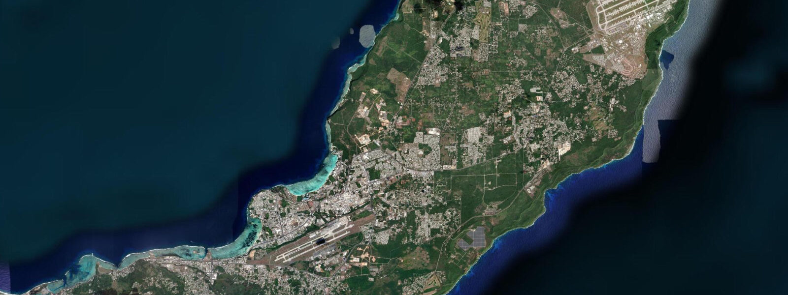
Tumon Bay is Guam's primary tourist zone, a 3-kilometre arc of white sand and reef-enclosed calm water lined by resort hotels, duty-free shops, and water-sports concessions. The bay faces west into the Philippine Sea and is protected on its outer edge by a continuous fringing reef that keeps the bay floor at a consistent 1.5–3.0 m over sand and scattered coral — accessible to swimmers and snorkellers of all levels without technical difficulty.
The tidal regime at Tumon Bay follows Guam's mixed semidiurnal pattern: spring range 0.5–0.7 m. Two unequal highs and two unequal lows occur each day. The higher high water reaches approximately 0.5 m above Chart Datum; the lower low water drops to 0.2 m below Chart Datum on springs. The notable feature of Guam's tidal signal is the pronounced diurnal inequality: on some days the two lows are nearly equal; on others, one low is 0.05 m and the other is 0.35 m below Chart Datum — an asymmetry that shifts the practical shallow-water window by hours. Checking the specific day's tide curve, not just the range, is essential for reef-flat activities.
For swimmers, the beach at Tumon is usable at all tidal states — the bay floor is deep enough for comfortable swimming even at the lowest spring ebb. The fringing reef channels, where openings in the reef allow current exchange with the open ocean, run 0.3–0.5 knots on the flood and ebb. Swimmers should avoid the two main channel openings at the north and south ends of the bay at tidal flow peaks; the current through the channels is directional and can carry an unsuspecting swimmer 50–100 m along the reef face before they can regain control.
For snorkellers, the coral heads inside the reef line at Tumon Bay carry a healthy population of parrotfish, surgeonfish, sergeant major, and occasional sea turtles. The best visibility occurs in the mornings before the afternoon wind chop stirs the upper water column, and at high water when the reef flat is fully covered and stirring from wave action on the outer reef edge is minimised. The coral section at the north end of the bay, near the Gun Beach area, is less disturbed by resort activity and generally shows more intact coral structure.
Water sports operations from the beach run jet ski rentals, kayak rentals, glass-bottom boat tours, and parasailing. The glass-bottom boat schedule runs on the hour and is timed to the morning flat-water window; by 11:00 the easterly trade-wind chop typically stiffens to 0.3–0.5 m and the boat tour quality declines. Jet ski operations are restricted to designated zones outside the main swimming area, marked by buoys.
For beach families, the tidal effect on usable beach width at Tumon is moderate: at low spring water the beach widens by approximately 10–15 m as the sand flat below the normal waterline exposes. Children can stand in 0.3 m of water 30 m from shore at low tide and in 0.6 m at high tide. The sand bottom is clean and even — no notable hazards within the buoyed swimming zone.
Anglers work the reef flat outside the resort zone and the rocky points at the north end of the bay. The reef flat is accessible on foot at low water — the flat inside the reef crest shallows to 0.1–0.3 m on a spring low, exposing wide areas where shore anglers wade to the outer reef edge to cast for trevally, parrotfish, and needlefish. This low-water reef-walk opportunity is the signature Guam shore-fishing tactic and requires careful timing: the window is 45–60 minutes either side of the lower-low water on a spring day. Wear reef shoes.
Photographers use the morning light from the beach looking west across the bay toward the reef and the ocean horizon. Sunrise (06:00–07:00) is behind the island, so the western view at that hour gives cool blue light on calm water. Sunset from the beach is the primary golden-hour window — the sun descends into the Philippine Sea across the bay, and the reef crest catches the last direct light around 18:15 in June and 18:00 in December. Low-water afternoons expose reef structure that adds foreground interest to the sunset view.
All tide predictions for Tumon Bay come from the Open-Meteo Marine gridded model. Timing accuracy is ±45 minutes; height accuracy is ±0.3 m above Chart Datum.
Tide questions about Tumon Bay
Quick answers to the most common questions about tide times, range, and water access at Tumon Bay.
What is the tidal range at Tumon Bay and does it affect swimming conditions?
Tumon Bay has a mixed semidiurnal spring range of 0.5–0.7 m. The bay floor is deep enough for comfortable swimming at all tidal states — even the lower-low spring water leaves 1.3–2.8 m over the sand between the beach and the reef. The key hazard is the tidal current through the two reef-channel openings at the north and south ends of the bay, which runs 0.3–0.5 knots at peak flow and can carry swimmers along the reef face. Stay within the buoyed swimming zone, which excludes the channel mouths. Guam's pronounced diurnal inequality means the two daily lows differ significantly — check the specific day's tide curve. Model accuracy is ±45 minutes and ±0.3 m.
When is snorkelling in Tumon Bay at its best?
The best snorkelling at Tumon Bay is in the early morning (07:00–10:00) at or near high water. At high water, the inner reef flat is fully covered and wave wash over the outer reef crest is reduced, minimising suspended sediment and maintaining visibility of 8–15 m. The coral section at the north end of the bay near Gun Beach has denser fish populations and more intact coral than the resort-adjacent central section. Afternoon trade-wind chop, building from around 11:00 to 0.3–0.5 m, stirs the upper water column and reduces visibility. The resident sea turtle population is most frequently sighted in the northern section, feeding on seagrass at mid to high water.
How does the reef-flat low tide work for shore fishing at Tumon Bay?
At spring lower-low water, the reef flat inside the Tumon Bay reef crest shallows to 0.1–0.3 m over a wide area, allowing shore anglers to wade to the outer reef edge. The window is 45–60 minutes either side of the lower-low water. From the outer edge, casts into the reef break target trevally, parrotfish, and needlefish feeding on the surge zone. Reef shoes and a wading staff are essential on the uneven coral flat. The Gun Beach area at the north end provides the best flat access away from resort activity. Always check the predicted time and height of the lower-low specifically — the higher-low on the same day may leave the flat impassable.
What are the typhoon risks at Tumon Bay and how does storm surge affect the beach?
Guam lies in an active typhoon track; typhoon season runs June through November, peaking in August–September. Super Typhoon Pongsona (2002) and Typhoon Mawar (2023) both caused significant storm surge and beach erosion at Tumon. A Category 4–5 typhoon making landfall on Guam's western coast can produce 3–5 m of storm surge above the astronomical tide — completely inundating the beach and ground floors of resort hotels. The astronomical tidal range of 0.5–0.7 m is trivial compared to typhoon surge. Outside typhoon season, Tumon Bay's exposure to the west means afternoon northwest swells can enter the bay in winter (December–February) and produce 0.5–1.0 m inside-reef chop that temporarily closes water-sports operations.
When is sunset best at Tumon Bay for photography and what tidal state works best?
Tumon Bay faces west into the Philippine Sea, making it one of Guam's prime sunset locations. The sun descends directly over the bay, reaching the horizon around 18:15 in June and 18:00 in December. The golden-hour window is approximately 17:30–18:20. A low-afternoon tide — particularly the spring lower-low when the reef flat is exposed — adds foreground texture that a high-water shot lacks: dark reef rock, tide pools, and the reef crest catching the last direct light. The 30–45 minutes before sunset with an ebbing tide is the optimal combination. The north end of the beach near Gun Beach has fewer resort structures in the frame and cleaner sightlines to the horizon.
8-day tide table — Tumon Bay
Heights relative to MSL. Predictions: Open-Meteo Marine (MeteoFrance SMOC, 0.08° grid) — heights relative to MSL (not chart datum / LAT). Model-derived.
| Day | Type | Time | Height |
|---|---|---|---|
| Sat 27 Jun | High | 10:00 | 0.5m |
| Sun 28 Jun | Low | 12:20 | 0.4m |
| Mon 29 Jun | High | 05:10 | 1.1m |
| Low | 12:55 | 0.3m | |
| Tue 30 Jun | High | 05:50 | 1.1m |
| Low | 13:37 | 0.3m | |
| Wed 01 Jul | High | 22:00 | 1.1m |
| Thu 02 Jul | Low | 14:45 | 0.3m |
| Fri 03 Jul | High | 07:42 | 1.1m |
| Low | 15:21 | 0.3m | |
| High | 23:00 | 1.1m | |
| Sat 04 Jul | Low | 04:00 | 0.9m |