Cocos Island Lagoon, Guam tide times
Cocos Island Lagoon, Guam tide forecast — heights relative to MSL.
Today's tide times for Cocos Island Lagoon, Guam
Tide times at Cocos Island Lagoon, Guam on Saturday, 4 July 2026: first high tide at 10:00am, first low tide at 03:42pm. Sunrise 05:59am, sunset 06:52pm.
Tide chart for Cocos Island Lagoon, Guam
24-hour cosine-interpolated curve around the present moment. Heights relative to MSL. Predictions: Predictions: Open-Meteo Marine (MeteoFrance SMOC, 0.08° grid).
Sun, moon and conditions on Sat 04 Jul
Snapshot at build time — refreshes daily. Sea state from Open-Meteo Marine.
Highs and lows next 7 days
Every predicted high and low for the next week, with the daily tidal coefficient (0–120; higher = bigger swing, > 95 means stronger currents).
Other spots nearby
The three closest curated TideTurtle locations to Cocos Island Lagoon, Guam, measured by great-circle distance.
Today's solunar windows
Solunar tradition: major periods are the ≈3h windows around moon transit and opposition; minor are ≈2h around moonrise and moonset. Pair with the local tide stage and wind for the best read.
About tides at Cocos Island Lagoon, Guam
A short guide to the coastline at Cocos Island Lagoon, Guam — geography, sea state, and what the tide is actually doing under your feet.
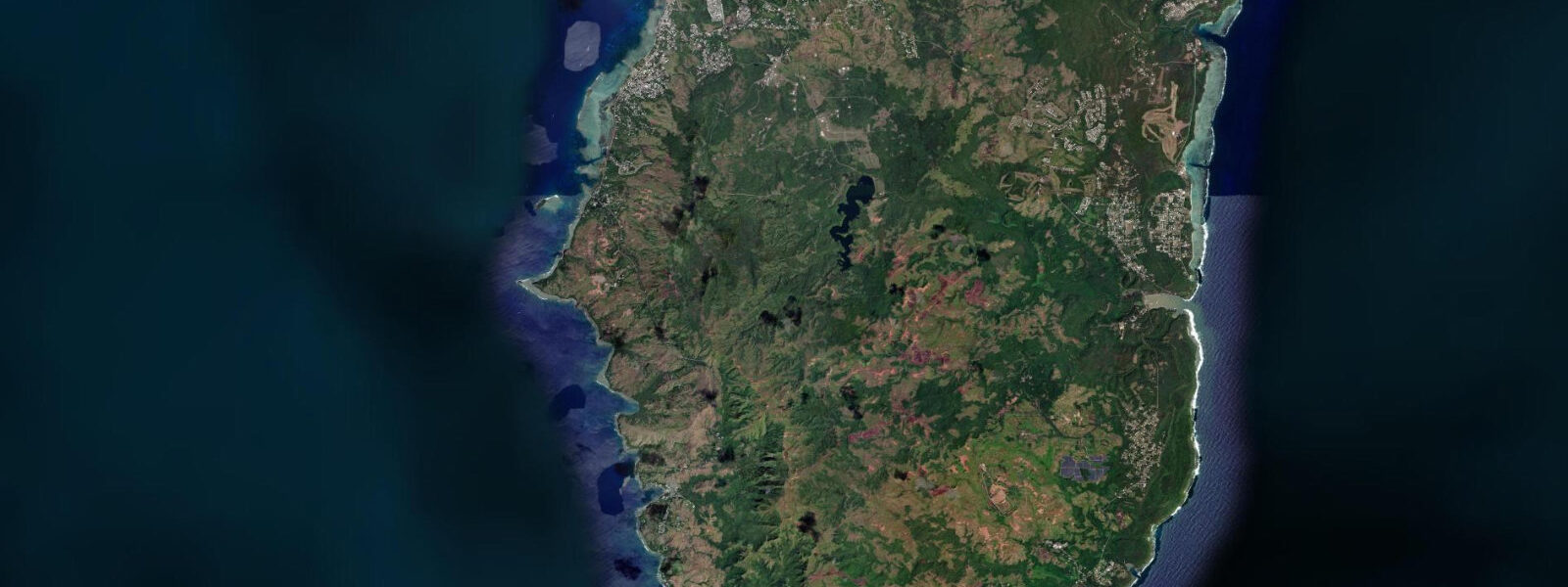
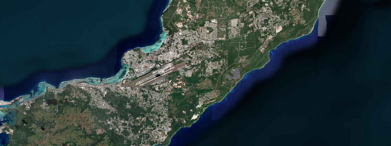
Cocos Island sits off the southern tip of Guam, separated from the mainland by Cocos Lagoon — a shallow coral-floored lagoon roughly 2 km wide. The island itself is small (0.3 km²), privately held, and accessible only by boat from Merizo Pier on the Guam mainland shore. The boat crossing takes 10 minutes; glass-bottom boat operators run scheduled departures from the pier throughout the day. Cocos Lagoon is the largest protected lagoon in Guam, and its 1 to 3 m depth over a white sand and coral floor gives the water a transparency that allows clear bottom viewing from the surface.
The Chamorro people of Merizo have used the Cocos Lagoon area for traditional fishing for centuries — the lagoon's sheltered shallow water is ideal for throw nets and basket traps for reef fish, and the oral history of Merizo includes detailed knowledge of the tidal cycles and seasonal fish patterns in the lagoon. That traditional fishing knowledge is part of what is preserved and interpreted at the Gef Pago Cultural Village on the southern Guam ridge above Merizo, which runs living Chamorro heritage demonstrations including traditional fishing techniques, weaving, and cooking.
The WWII layer at Cocos is less prominent than on the northern parts of Guam but present. Japanese coastal defence installations — concrete gun emplacements and pillboxes — were built on both Cocos Island and the Merizo headland above to cover the southern approaches. They are accessible on the coastal paths and offer views across the lagoon entrance and the Cocos Channel beyond to open Pacific. The approach from the open Pacific through the Cocos Channel was contested during the July 1944 American recapture of Guam; the southern defences were designed to impede that approach.
The tidal regime at Cocos Lagoon is Guam's mixed semidiurnal pattern: two unequal pairs of highs and lows each day, spring range 0.5 to 0.8 m. The modest range means the lagoon is usable for snorkelling at all tide states, with careful attention to the shallowest sections at low water. On the lowest spring lows — occurring around new and full moons in the months when Guam's lower low water is largest — the shallowest coral heads in the lagoon drop to 0.3 to 0.5 m water depth, requiring snorkellers to be horizontal and careful not to contact coral. The glass-bottom boat tours operate at all tide states but choose their route within the lagoon based on the day's water level. The best snorkelling entry for beginners is at mid to high tide, when the coral heads have 1 to 1.5 m of water above them. Predictions on this page come from Open-Meteo Marine (gridded model, ±45 min / ±0.2–0.3 m). NOAA operates the Apra Harbor gauge (station 1630000) as the authoritative harmonic reference for Guam; the timing difference between Apra Harbor and the southern Cocos area is small (less than 20 minutes). The Merizo Pier area at the mainland end of the Cocos Lagoon crossing is a small, functional Chamorro village with a pavilion, picnic tables, and a boat launch ramp. The Merizo Pier community is one of the villages that maintains the most active connection to traditional Chamorro coastal practices in southern Guam. The Gef Pago Cultural Village 2 km up the road from the pier offers the most organised traditional Chamorro cultural programme in the south of the island. The reef at Cocos Island — a small island connected to the south coast of Guam at the reef edge — is a Marine Protected Area that draws divers from across the Pacific. Cocos Lagoon, enclosed by the barrier reef, is accessible by small boat at all tidal states for vessels drawing 1.0 m or less. The lagoon's inner passages, including the cut through the reef at Cocos Channel, have minimum depths of 1.5 m at chart datum and are safe for small outboard boats. The snorkelling on the lagoon side of the barrier reef is better on the flood, when offshore water pushes into the lagoon and visibility improves. Cocos Island is accessible by boat from Merizo pier on the southern Guam coast; the crossing takes 10 to 15 minutes and the boats operate on demand rather than scheduled services. Sea kayaking around Cocos and into the reef pockets is popular; the lagoon's sheltered water makes it accessible even when trades are blowing hard on the outer reef. Nesting seabirds on Cocos Island — including brown boobies — are present year-round and are observed from the beach without tidal constraint.
Tide questions about Cocos Island Lagoon, Guam
Quick answers to the most common questions about tide times, range, and water access at Cocos Island Lagoon, Guam.
When is the next high tide at Cocos Island Lagoon?
The hero block shows the next predicted high at Cocos Lagoon in Chamorro Standard Time (ChST, UTC+10). Mixed semidiurnal, spring range 0.5 to 0.8 m. At the spring low, the shallowest coral heads in the lagoon are in 0.3 to 0.5 m of water — lie flat when snorkelling over them. The 7-day table shows all tidal extremes; the lowest predicted lows each day flag the periods when the shallowest coral heads require care. Predictions from Open-Meteo Marine (gridded model, ±45 min / ±0.2–0.3 m).
What is the tidal range at Cocos Lagoon, Guam?
Spring range runs 0.5 to 0.8 m; neap range about 0.2 to 0.4 m. The mixed semidiurnal pattern means two unequal highs and two unequal lows each day; the larger daily high on a spring day is noticeably bigger than the smaller one. Guam's small tidal range means the lagoon is accessible for snorkelling at all tide states; the critical variable is whether you're at a spring high (most depth over the coral) or a spring low (least depth, potential coral contact).
Where do these predictions come from?
Open-Meteo Marine, a free gridded global ocean model, accuracy ±45 min / ±0.2–0.3 m. NOAA operates the Apra Harbor tide gauge (station 1630000) as the authoritative harmonic reference for Guam. The difference between the Apra Harbor prediction and the Cocos Lagoon area is less than 20 minutes. NOAA's CO-OPS Tides and Currents portal provides gauge-calibrated Guam tide tables at tidesandcurrents.noaa.gov. NOAA's CO-OPS portal (tidesandcurrents.noaa.gov) provides Apra Harbor predictions with station 1630000; the difference between Apra Harbor timing and the Cocos Lagoon southern tip is less than 20 minutes.
How do I get to Cocos Island from Merizo?
Glass-bottom boat tours and water taxis operate from Merizo Pier with multiple daily departures; the crossing takes 10 minutes. Tours typically include a lagoon viewing circuit, snorkelling equipment rental, and a stop at the island beach. Individual water taxi charters for groups are available at the pier. The island has limited shade and no food facilities; bring water and sun protection. The lagoon snorkelling is best in the morning before the afternoon trade wind builds chop on the water surface, reducing visibility.
Is this safe to use for navigation?
No. TideTurtle is a planning tool. The Cocos Channel from the open Pacific into the lagoon has coral heads and the reef approach from the south is shallower than it appears at the surface. For vessel operations in Guam waters, use NOAA chart 81048 and the NOAA nautical chart portal for authoritative depths and reef positions. For vessel operations in Guam waters, NOAA chart 81048 covers the southern Guam approach including the Cocos Channel and the reef approaches to Cocos Lagoon. The channel from the open Pacific into the lagoon has coral head hazards not visible at surface level.
8-day tide table — Cocos Island Lagoon, Guam
Heights relative to MSL. Predictions: Open-Meteo Marine (MeteoFrance SMOC, 0.08° grid) — heights relative to MSL (not chart datum / LAT). Model-derived.
| Day | Type | Time | Height |
|---|---|---|---|
| Sat 04 Jul | High | 10:00 | 1.0m |
| Low | 15:42 | 0.5m | |
| Sun 05 Jul | — | ||
| Mon 06 Jul | High | 00:06 | 1.2m |
| Low | 17:18 | 0.7m | |
| Tue 07 Jul | High | 00:00 | 1.2m |
| Low | 07:06 | 0.7m | |
| Wed 08 Jul | High | 00:42 | 1.1m |
| Low | 18:50 | 0.7m | |
| Thu 09 Jul | — | ||
| Fri 10 Jul | High | 01:40 | 1.1m |
| Sat 11 Jul | Low | 09:00 | 0.3m |