Sainte-Anne tide times
Sainte-Anne tide forecast — heights relative to MSL.
Tide chart for Sainte-Anne
24-hour cosine-interpolated curve around the present moment. Heights relative to MSL. Predictions: Predictions: Open-Meteo Marine (MeteoFrance SMOC, 0.08° grid).
Sun, moon and conditions on Sun 21 Jun
Snapshot at build time — refreshes daily. Sea state from Open-Meteo Marine.
Highs and lows next 7 days
Every predicted high and low for the next week, with the daily tidal coefficient (0–120; higher = bigger swing, > 95 means stronger currents).
Other spots nearby
The three closest curated TideTurtle locations to Sainte-Anne, measured by great-circle distance.
Today's solunar windows
Solunar tradition: major periods are the ≈3h windows around moon transit and opposition; minor are ≈2h around moonrise and moonset. Pair with the local tide stage and wind for the best read.
About tides at Sainte-Anne
A short guide to the coastline at Sainte-Anne — geography, sea state, and what the tide is actually doing under your feet.
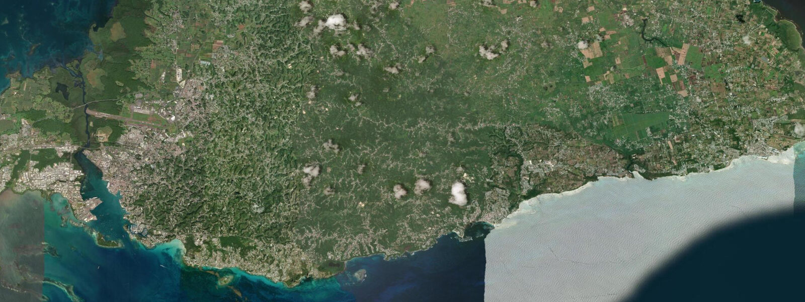
Sainte-Anne, on the south coast of Grande-Terre, is the beach town of Guadeloupe. The town beach — Plage de Sainte-Anne — fronts the Petit Cul-de-Sac Marin, a broad, reef-protected lagoon between the two main wings of Guadeloupe. The reef fringe outside the bay keeps wave energy low even during periods of strong trade wind; the beach is one of the calmest swimming beaches in the archipelago. The water is shallow, white-sand-bottomed, and the colour gradient from shore to reef is the characteristic turquoise-to-blue progression of a healthy shallow Caribbean lagoon.
The reef flat seaward of the beach partially exposes at low spring tide. Mean spring range at Sainte-Anne is 0.3–0.4 m; the flat emerges when the water level drops to roughly 0.2 m above chart datum, which occurs on spring tides around new and full moon. At these low tides the reef flat is accessible on foot from the beach shallows, though walking on live coral is not permitted and the urchin-covered rock sections require footwear. The outer reef edge — where the coral drop-off begins and the fish density increases — is 300–400 m from the beach and is best reached by snorkelling on high or incoming water when the column above the coral is deepest.
Club Med Guadeloupe's main resort is visible 2 km to the west of the town beach; the two coexist at enough distance that the town beach retains its local, non-resort character. The town centre has a weekly Saturday market, a waterfront strip of restaurants serving Creole food, and rentals for kayaks, stand-up paddleboards, and snorkel equipment available from the beach operators.
Kayaking from Sainte-Anne is particularly well-suited to the tidal window. On high water, it is possible to paddle directly over the reef flat into the outer lagoon without scraping the reef; on low water, paddlers must route around the flat through the channel gaps in the reef. A half-day kayak itinerary from the beach: depart on the incoming tide, 90 minutes before high water; paddle to the outer reef edge (400 m); follow the reef westward 1.5 km; return on the first hour of ebb. Total distance roughly 4–5 km, in water that stays below 1.5 m throughout.
Shore fishing from the rock outcrops at Pointe Gros Ilets, the headland on the eastern side of Sainte-Anne bay, targets reef species using the deeper water at the point base. The point is accessible by a short walk from the eastern end of the beach. Low to incoming tide is the conventional fishing window; the current at the point picks up on the tidal exchange and concentrates bait fish around the structure. Casting distance from the headland reaches 20–30 m depth — productive for vivaneau and bécune on bottom and surface rigs respectively.
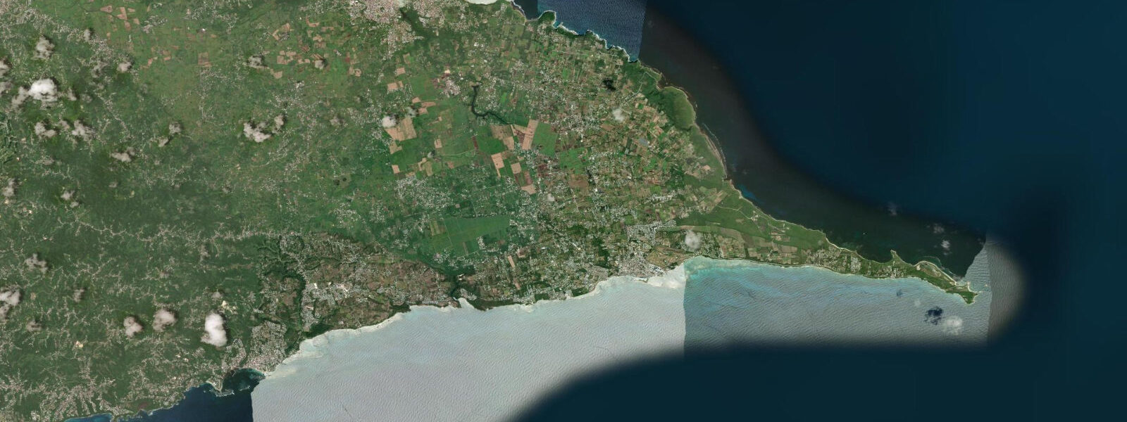
The south coast of Grande-Terre between Sainte-Anne and Saint-François is a series of coves and reef-fringed beaches: Anse du Bois, Anse de l'Anse à la Baie, and the broader beach at Raisins Clairs near Saint-François. This 15 km stretch is drivable in 30 minutes and accessible by bicycle from Sainte-Anne on the coast road; several stops along the route have better reef access than the main Sainte-Anne beach, with fewer visitors.
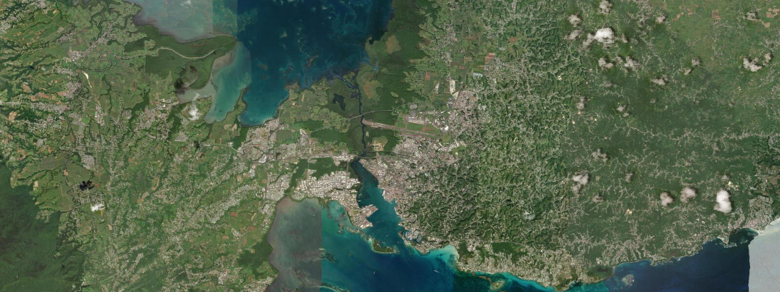
The Petit Cul-de-Sac Marin continues west toward Pointe-à-Pitre; the bay is wide enough that the opposite shore (Basse-Terre) is visible only faintly on clear days. The bay is a navigational space as well as a leisure one: ferries from Pointe-à-Pitre transit the bay, and the inter-island traffic between Grande-Terre and Marie-Galante passes through. In settled conditions the bay is very calm and the crossing visible from shore is deceptively easy; strong trade winds can build a short steep chop that makes small-boat operations more challenging.
Tide data for Sainte-Anne, Guadeloupe comes from the Open-Meteo Marine API, a gridded global ocean model. Timing accuracy is ±45 minutes, height accuracy ±0.2–0.3 m. SHOM tide tables for Guadeloupe reference Pointe-à-Pitre; secondary corrections for Sainte-Anne are available from SHOM.
Tide questions about Sainte-Anne
Quick answers to the most common questions about tide times, range, and water access at Sainte-Anne.
How calm is Plage de Sainte-Anne compared to other Guadeloupe beaches?
Plage de Sainte-Anne is among the calmest beaches in Guadeloupe. The Petit Cul-de-Sac Marin provides a broad lagoon buffer, and the fringing reef outside the bay dissipates the Atlantic trade-wind swell before it reaches the shore. Wave height at the beach in standard 12–18 knot trade wind conditions is 0.1–0.2 m — barely breaking. The contrast with Guadeloupe's Atlantic-facing beaches (which can see 1–2 m breaking swell in the same conditions) is significant. The calmest water of the day is early morning before the trade wind builds; by 14:00 the surface has a light chop from the wind across the open bay. The beach is suitable for all ability levels as a swimming beach; the shallow-water entry is particularly good for children and non-swimmers.
When does the reef flat at Sainte-Anne expose at low tide?
The reef flat seaward of Plage de Sainte-Anne begins to emerge on spring low tides when the water level drops to approximately 0.15–0.25 m above chart datum. Spring tides occur around new and full moon; the lowest spring tides of the year in Guadeloupe tend to fall in the January–February and June–July periods when the astronomical conditions produce maximum range. At these low tides the reef crest is 0.1–0.2 m below the surface on the shallowest sections and the colour change is visible from the beach. The reef flat is not safe to walk on — sea urchins on the rock, live coral, and sharp reef structure require footwear at minimum and awareness of the incoming tide schedule. Snorkellers should time reef visits to arrive when the tide is starting to rise.
Is kayaking from Sainte-Anne beach suitable for beginners?
The inner lagoon between Plage de Sainte-Anne and the reef flat is well-suited to beginner kayaking. The water is shallow (0.8–2.0 m across most of the inner lagoon), the current is light, and the reef provides wind-shadow protection in most trade-wind conditions. Sit-on-top kayak rentals are available from beach operators on the waterfront. A beginner route: paddle straight out from the beach to 200 m, then follow the beach coastline east or west — staying inside the reef. The outer reef edge and the reef-flat crossing involve more exposure to swell and require more paddling confidence. Check that the rental operator briefs you on the reef position and the channel gaps in the reef before departing; the flat sections are only 0.2–0.5 m deep at low tide and difficult to cross in a loaded kayak.
What marine life can I see snorkelling from Sainte-Anne?
The reef flat and outer reef edge off Plage de Sainte-Anne holds a typical healthy Caribbean reef assemblage. Common species on and around the reef include parrotfish (several species and colour phases), French angelfish, blue tang, sergeant majors, and snapper. Brain coral (Diploria) and staghorn coral (Acropora cervicornis, a recovering species under conservation protection) are present on the outer reef. Hawksbill turtles pass through the area; sightings from the beach-adjacent snorkelling zone are reported several times per week by regular snorkellers in the dry season. Spotted eagle rays transit the lagoon on occasion. Avoid touching coral, maintaining a fin clearance of at least 0.5 m above any coral surface; contact breaks coral polyps and introduces disease. Snorkel gear rental is available from the beach operators.
What is the walk or drive between Sainte-Anne and Saint-François?
Sainte-Anne and Saint-François are approximately 12 km apart by road, following the south coast of Grande-Terre east. The drive takes 20–25 minutes by car and passes several small beach coves with parking areas accessible by short walks from the road. The route is also cycleable on the relatively flat limestone terrain of Grande-Terre; the distance is manageable for most recreational cyclists in 40–60 minutes. A coastal path (sentier) connects some sections but is not continuous; check local trail maps at the Sainte-Anne tourist office before attempting a coastal walk. The beaches between Sainte-Anne and Saint-François — Anse du Bois, Anse Tarare — are less visited than the main town beaches and have reef access varying with tidal state, as described individually by site.
6-day tide table — Sainte-Anne
Heights relative to MSL. Predictions: Open-Meteo Marine (MeteoFrance SMOC, 0.08° grid) — heights relative to MSL (not chart datum / LAT). Model-derived.
| Day | Type | Time | Height |
|---|---|---|---|
| Sun 21 Jun | — | ||
| Mon 22 Jun | — | ||
| Tue 23 Jun | Low | 06:00 | 0.1m |
| High | 22:00 | 0.4m | |
| Wed 24 Jun | Low | 07:00 | 0.1m |
| Thu 25 Jun | High | 23:50 | 0.4m |
| Fri 26 Jun | Low | 08:00 | 0.0m |