Saint-François tide times
Saint-François tide forecast — heights relative to MSL.
Tide chart for Saint-François
24-hour cosine-interpolated curve around the present moment. Heights relative to MSL. Predictions: Predictions: Open-Meteo Marine (MeteoFrance SMOC, 0.08° grid).
Sun, moon and conditions on Sun 21 Jun
Snapshot at build time — refreshes daily. Sea state from Open-Meteo Marine.
Highs and lows next 7 days
Every predicted high and low for the next week, with the daily tidal coefficient (0–120; higher = bigger swing, > 95 means stronger currents).
Other spots nearby
The three closest curated TideTurtle locations to Saint-François, measured by great-circle distance.
Today's solunar windows
Solunar tradition: major periods are the ≈3h windows around moon transit and opposition; minor are ≈2h around moonrise and moonset. Pair with the local tide stage and wind for the best read.
About tides at Saint-François
A short guide to the coastline at Saint-François — geography, sea state, and what the tide is actually doing under your feet.
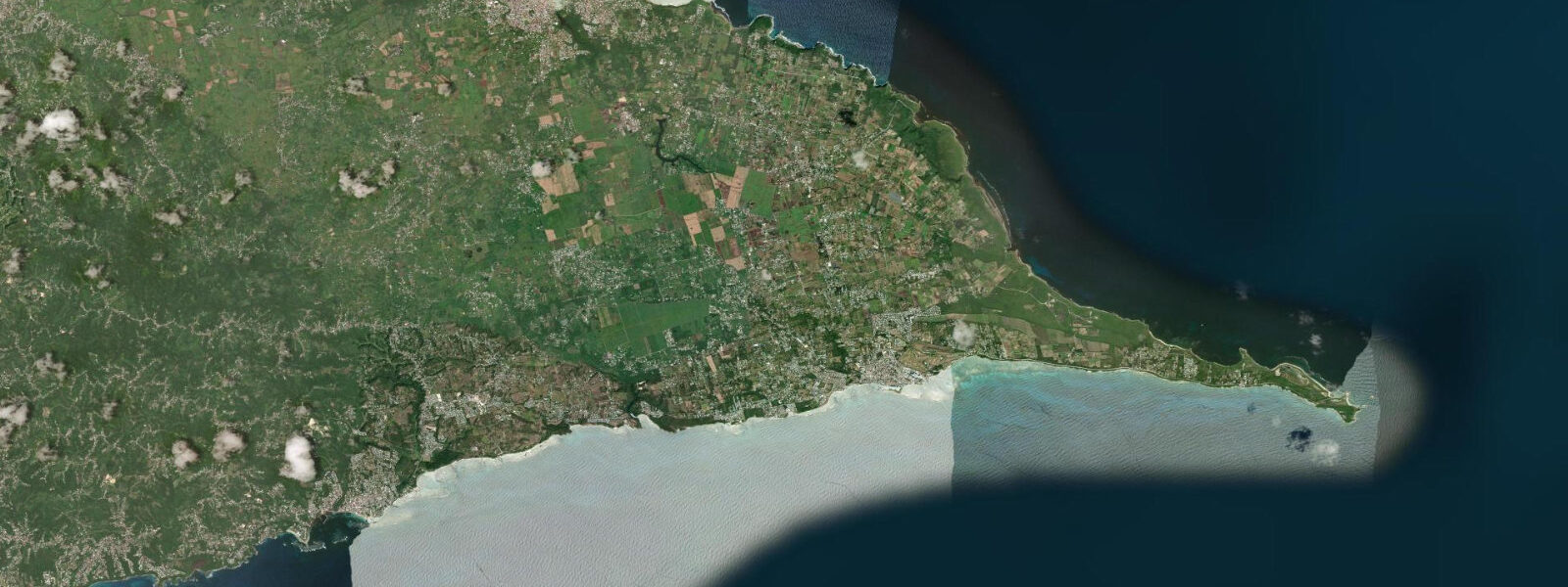
Saint-François occupies the eastern tip of Grande-Terre, the flat limestone wing of Guadeloupe, where the island's southern reef coast meets the open Atlantic. The town has a marina — the second largest in Guadeloupe — and serves as the passenger ferry terminal for La Désirade (8 km to the east across the Guadeloupe Passage) and Marie-Galante (25 km to the SE). The ferry routes run daily and are weather-dependent; the Guadeloupe Passage between Grande-Terre and La Désirade is an exposed crossing with trade-wind swell running from the east.
The eastern coast of Grande-Terre from Saint-François north to Pointe des Châteaux receives consistent Atlantic swell that has crossed the open ocean from the coast of Africa. The reef fringe provides partial protection but the windward beach faces — Anse à la Gourde east of town, and the beaches around Pointe des Châteaux — are energetic by Caribbean standards: breaking reef and exposed headlands. Tidal range at Saint-François is 0.3–0.5 m, mixed semidiurnal, the same regime as the wider Lesser Antilles. The reef flat at Anse à la Gourde partially exposes at low spring tide; the break on the outer reef is more exposed at low water when the reef crest is shallower.
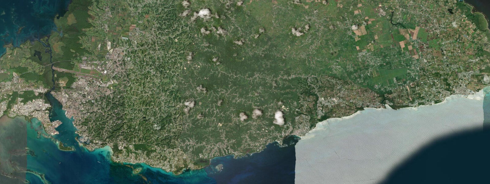
Pointe des Châteaux is 8 km east of town, the literal eastern tip of Grande-Terre and of Guadeloupe proper. The limestone headland has been eroded into natural arches and pointed rock formations by Atlantic wave action over millennia; the English name "Castles Point" reflects what the eroded limestone looks like from offshore. A cross on the highest point — accessible by a short marked trail — gives a 360° view: La Désirade to the east, Marie-Galante to the SE, and the Atlantic horizon to the north and east. The walk to the cross takes 20 minutes from the car park. Sea conditions at the point are often rough even in settled trade-wind weather; do not attempt to access the rock platforms at the tip in swells above 1.0 m.
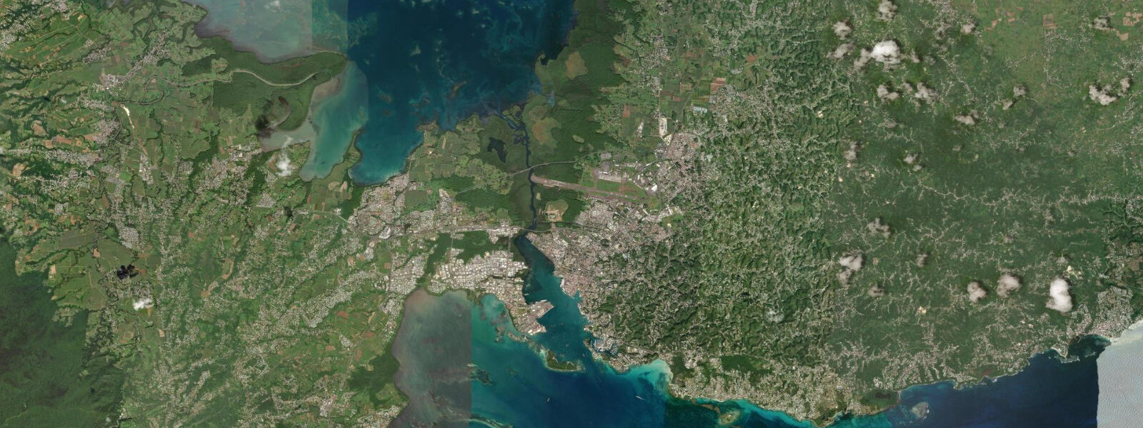
The lagoon at Étang Saint-François, on the western leeward side of the town peninsula, is the opposite of the exposed Atlantic coast: calm, shallow, protected water with a sandy bottom and consistent wind. Windsurfers and kitesurfers use this lagoon for training and recreational sailing. The trade wind runs across the lagoon at cross-onshore angle; the protected water is forgiving for learning. Equipment rental is available on the lagoon shoreline. Tidal variation in the lagoon is small — the narrow connection to the open sea limits tidal exchange — but the water level does drop 0.2–0.3 m on low spring tides, reducing the already-shallow depth on the inner lagoon edges.
The beach at Raisins Clairs, 2 km west of the town centre on the south coast, is the most accessible and popular beach near Saint-François. It faces SSW into relatively calm water protected by the reef. The beach is white coral sand with shallow water good for families and swimmers. At low spring tide the reef flat begins to show at the outer edge, 200–300 m offshore; the lagoon between beach and reef is swimable at all tide stages. The water taxi to the outer reef for snorkelling departs from Raisins Clairs beach; guides time dives on the reef edge to high or incoming water for maximum visibility over the coral.
Fishing from Saint-François marina targets both the leeward bay and the open Atlantic. The marina channel and the bay south of town give shore fishing access to snapper and jack in the structure around the dock walls. Offshore, the passage between Grande-Terre and La Désirade concentrates pelagic species on the eastbound current: wahoo, dorado, and occasional marlin are taken by trolling from sport fishing charters operating from the marina. The passage fishing is weather-dependent; 15+ knots of trade wind with 1.5+ m swell makes the Guadeloupe Passage uncomfortable and limits trolling depth control.
Tide data for Saint-François comes from the Open-Meteo Marine API, a gridded global ocean model. Timing accuracy is ±45 minutes, height accuracy ±0.2–0.3 m. SHOM publishes harmonic predictions for Guadeloupe referenced to Pointe-à-Pitre with secondary corrections for Saint-François.
Tide questions about Saint-François
Quick answers to the most common questions about tide times, range, and water access at Saint-François.
What are the ferry options from Saint-François to the outer islands?
Express des Îles and smaller local operators run ferry services from Saint-François to La Désirade (8 km east, roughly 30–45 minutes) and Marie-Galante (25 km SE, approximately 45–60 minutes). Schedules vary seasonally; typically two to three departures daily in peak season, one or two in low season. The La Désirade crossing passes through the Guadeloupe Passage — an exposed east-facing channel that receives Atlantic trade-wind swell directly. The crossing can be rough when trade winds exceed 15–18 knots; operators cancel or adjust departure times based on sea state. Check the operator website or call the morning of departure for current status. The Marie-Galante route is generally smoother as it runs more SE behind the island chain.
What is the sea state like at Pointe des Châteaux, and when is it safe to visit?
Pointe des Châteaux is the windward eastern tip of Guadeloupe, directly exposed to the trade-wind Atlantic swell. The wave action has sculptured the limestone into arches and rock formations over centuries, and the sea state reflects this exposure: even on calm days, a 0.5–1.0 m swell breaks against the rock platforms. The marked trail to the cross and viewpoint is safe in all conditions; it does not require crossing any wave-washed areas. The rock platforms and lower headland at sea level should be treated as hazardous when swell exceeds 1.0 m — wave sets occasionally run up the rock faces without warning. Check the Météo-France marine forecast for the Guadeloupe Atlantic coast before visiting if you plan to go below the viewpoint trail.
Is the Étang Saint-François lagoon suitable for beginner windsurfers or kitesurfers?
The Étang Saint-François is one of the best learning environments in Guadeloupe for both windsurfing and kitesurfing. The lagoon is typically 0.5–1.2 m deep, flat-water (no wave), and receives the trade wind at a consistent cross-onshore angle — enough wind to power a rig, shallow enough to stand up when you fall. Equipment rental and instruction are available on the lagoon shore. Beginners should aim for 08:00–11:00 when the trade wind is lighter (8–12 knots); afternoons can run 15–22 knots, which is challenging for first-timers. The lagoon is enclosed, so drift is not a risk, but kite landing and launching on the narrow shore require instruction. After completing the basics in the lagoon, more experienced riders cross to the open bay facing conditions.
What is the tidal range at Saint-François, and does it affect the Raisins Clairs beach?
Tidal range at Saint-François is 0.3–0.5 m at spring tides. Raisins Clairs beach, on the south coast 2 km west of the marina, has a gradual sandy slope. At low spring tide, the beach widens by roughly 12–18 m compared to high water. The reef flat 200–300 m offshore shows its upper sections at low spring tide, changing the visual character of the lagoon from an open expanse to a more reef-defined space. The lagoon between beach and reef remains swimmable at all tidal states — the depth across the lagoon is 1.5–3.0 m at mean sea level and drops only 0.3–0.4 m at low spring. The reef-flat exposure at low tide creates interesting snorkelling terrain close to the reef crest but requires care not to contact the coral on the shallowest sections.
Can I catch pelagic fish from a charter out of Saint-François marina?
Several sport fishing charters operate from Saint-François marina, targeting pelagic species in the Guadeloupe Passage and on the offshore banks. Wahoo (thazard bâtard) is the primary target year-round in the passage; dorado (mahi-mahi, called coryphène) runs from April through October; blue marlin and sailfish are occasional catches on the deep-water ledges. Standard half-day charters depart 06:00–06:30 to catch the early morning bite before the trade wind builds; full-day trips target multiple species and deeper water. Booking in advance is recommended during peak season (December–April). The passage is exposed and the trolling run can be uncomfortable in swells above 1.5 m; most charter captains will advise on sea state when you book. Offshore fishing seasons roughly parallel those of the wider Eastern Caribbean.
7-day tide table — Saint-François
Heights relative to MSL. Predictions: Open-Meteo Marine (MeteoFrance SMOC, 0.08° grid) — heights relative to MSL (not chart datum / LAT). Model-derived.
| Day | Type | Time | Height |
|---|---|---|---|
| Sun 21 Jun | — | ||
| Mon 22 Jun | — | ||
| Tue 23 Jun | — | ||
| Wed 24 Jun | — | ||
| Thu 25 Jun | — | ||
| Fri 26 Jun | Low | 07:50 | 0.0m |
| High | 16:00 | 0.3m | |
| Sat 27 Jun | Low | 08:45 | 0.0m |
| High | 16:10 | 0.3m | |