Pointe-à-Pitre tide times
Pointe-à-Pitre tide forecast — heights relative to MSL.
Tide chart for Pointe-à-Pitre
24-hour cosine-interpolated curve around the present moment. Heights relative to MSL. Predictions: Predictions: Open-Meteo Marine (MeteoFrance SMOC, 0.08° grid).
Sun, moon and conditions on Sun 21 Jun
Snapshot at build time — refreshes daily. Sea state from Open-Meteo Marine.
Highs and lows next 7 days
Every predicted high and low for the next week, with the daily tidal coefficient (0–120; higher = bigger swing, > 95 means stronger currents).
Other spots nearby
The three closest curated TideTurtle locations to Pointe-à-Pitre, measured by great-circle distance.
Today's solunar windows
Solunar tradition: major periods are the ≈3h windows around moon transit and opposition; minor are ≈2h around moonrise and moonset. Pair with the local tide stage and wind for the best read.
About tides at Pointe-à-Pitre
A short guide to the coastline at Pointe-à-Pitre — geography, sea state, and what the tide is actually doing under your feet.
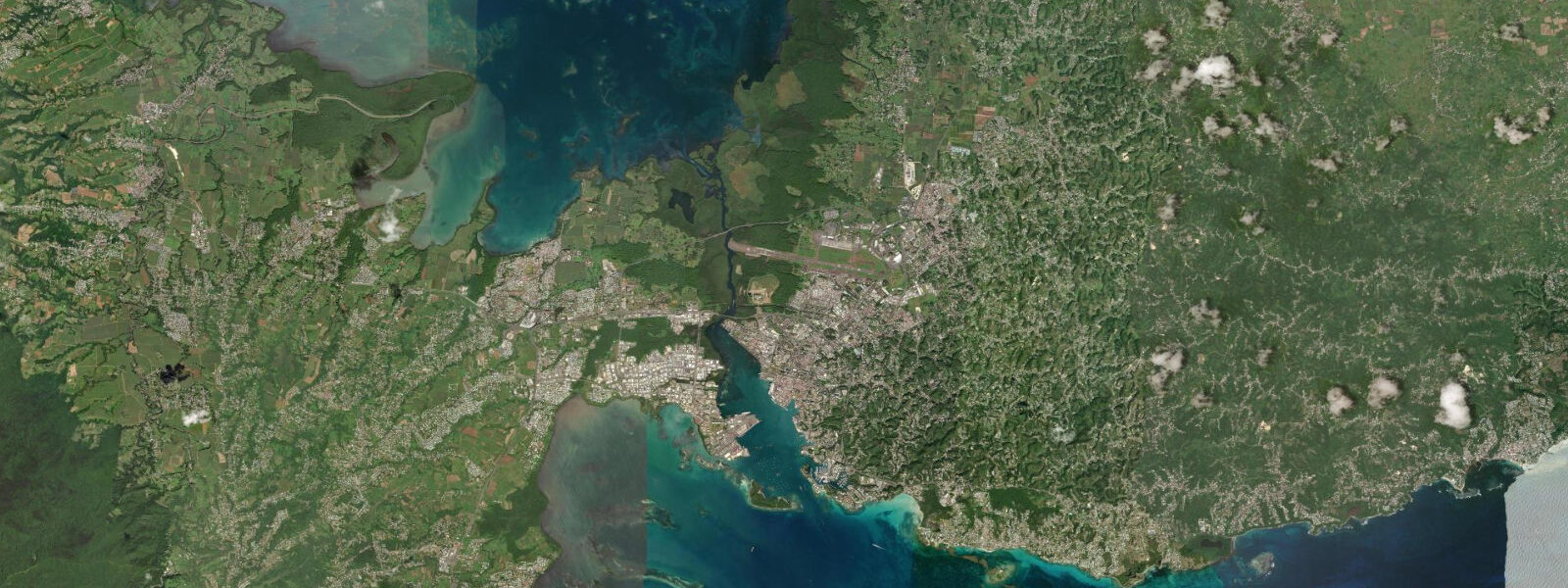
Pointe-à-Pitre is Guadeloupe's main commercial centre and port, set at the inner corner of the Grande-Terre wing where it faces the narrow Rivière Salée — the tidal channel that separates Grande-Terre from Basse-Terre. The harbour, Port Autonome de Guadeloupe, handles the island's commercial shipping, cruise ship traffic, and inter-island passenger ferry connections. The waterfront Quai de la Darse is the long stone quay running along the harbour front; the morning fish market at Marché Saint-Antoine, a few blocks inland, sells the previous night's catch from 05:30 onward, typically closing by 09:00 when the stock runs out.
The tidal range in the Pointe-à-Pitre harbour is 0.3–0.5 m at springs — the reference figure for all Guadeloupe tide tables, as SHOM designates Pointe-à-Pitre as the primary station for the archipelago. Two unequal highs and two unequal lows per day; the diurnal inequality is distinct in the Guadeloupe tide curve, with one high typically 0.1–0.15 m higher than the other over the same tidal cycle. Spring tides occur within two days of new and full moon; neap tides (range approximately 0.15–0.25 m) occur at quarter moon phases.
The Rivière Salée, running south from the Pointe-à-Pitre harbour between the two main islands, is the most tide-affected waterway in Guadeloupe. The channel is 6–7 km long and serves as a shortcut between the Caribbean and the Grand Cul-de-Sac Marin lagoon to the north. The ebb and flood run 1.5–2.5 knots through the channel at mid-tide on springs; the direction reverses completely with the tidal phase. Small craft — dinghies, kayaks, small motorboats — plan their Rivière Salée transits to run with the current: southbound on the ebb, northbound on the flood. Against the current, paddling the full length of the Rivière Salée is a significant effort in 1.5–2.0 knots of opposing flow.
Cruise ships dock at the dedicated cruise terminal south of the Quai de la Darse. Arrivals are at the discretion of the shipping lines and are tide-independent — the harbour approach channel maintains adequate depth for large vessels at all tidal states given the small range. The cruise dock days generate the most pedestrian traffic on the waterfront; on cruise days the Quai de la Darse market stalls extend their hours and the taxi queue is long.
The L'Express des Îles high-speed ferry service operates from the Quai de la Darse to Martinique, Saint-Lucia, Dominica, and Marie-Galante. Departure and arrival times are published schedules; the ferry does not adjust for tidal state. The crossing to Martinique takes approximately 3 hours in the southbound Dominica Channel; conditions in the channel between the islands can be rougher than the Pointe-à-Pitre harbour implies.
The waterfront Quai de la Darse functions as a social and commercial space throughout the day. The early morning (05:30–08:00) is the fish market and delivery hour; the mid-morning sees the ferry activity and tourist traffic; afternoons are the cruise terminal period; evenings are restaurant-oriented. For anglers, the harbour basin is not a productive fishing location — too much boat traffic and too little structure. The harbour entrance jetties offer better shore fishing access at first light, before the commercial traffic builds.
The Mémorial ACTe, a museum dedicated to the history of slavery and the slave trade in the Caribbean, sits 2 km east of the Quai de la Darse at the old industrial harbour of Darboussier. The building is architecturally notable — a black prismatic structure with a perforated facade — and the collection covers 500 years of Atlantic slave trade history with particular focus on Guadeloupe and the French Caribbean. The museum is tide-independent and operates normal cultural hours; it is the single most significant cultural institution in Guadeloupe and worth half a day.
Tide data for Pointe-à-Pitre comes from the Open-Meteo Marine API, a gridded global ocean model. Timing accuracy is ±45 minutes, height accuracy ±0.2–0.3 m. For applications requiring higher precision — commercial shipping, Rivière Salée current planning, large-vessel berthing — consult SHOM Annuaire des Marées directly; Pointe-à-Pitre is the reference station and harmonic predictions are available digitally.
Tide questions about Pointe-à-Pitre
Quick answers to the most common questions about tide times, range, and water access at Pointe-à-Pitre.
What is the tidal current in the Rivière Salée, and when should small boats transit?
The Rivière Salée is a 6–7 km tidal channel connecting Pointe-à-Pitre harbour to the Grand Cul-de-Sac Marin lagoon. Current through the channel runs 1.5–2.5 knots at mid-tide on spring days, reversing completely with the tidal phase. Southbound transit (toward the Caribbean and Pointe-à-Pitre) is easiest on the ebb when the current runs south; northbound transit into the Grand Cul-de-Sac Marin is assisted by the flood. Small motorboats and kayaks should plan the transit to run with the current: departure within an hour of the tide turning in the desired direction gives the longest assist window. Paddling against 2 knots in a kayak over 6 km is approximately three times the effort of a fair-current passage — plan the tide, not just the distance.
When is the fish market at Pointe-à-Pitre open, and what is sold there?
The Marché Saint-Antoine fish market near the Quai de la Darse opens by 05:30 most mornings when the night's fishing boats have landed. The market sells fresh catches from the Guadeloupe coastal fleet: vivaneau (snapper), thon (tuna), dorade coryphène (mahi-mahi), bécune (barracuda), and the catch of the week depending on season. Stock runs out by 08:30–09:00; arriving after that finds little remaining. The market is a working fish sale, not a tourist market — prices are local and the turnover is fast. Saturday mornings draw the largest selection and the most vendors. Prepared seafood, breadfruit, and local vegetables are sold at the adjacent covered market building open through the morning.
How does the L'Express des Îles ferry connect Pointe-à-Pitre to other islands?
L'Express des Îles operates high-speed catamaran ferry service from the Quai de la Darse in Pointe-à-Pitre to Martinique (Fort-de-France, approximately 3 hours), Dominica (Roseau, approximately 1.5 hours), and Saint-Lucia (Castries, approximately 5 hours). Smaller operators cover Marie-Galante and Terre-de-Haut in Les Saintes (60–90 minutes each). Schedules are published on the L'Express des Îles website; services run most days with frequency varying by route and season. The inter-island crossings through the Dominica and Martinique channels can produce uncomfortable sea conditions in swells above 1.5–2.0 m; the ferry continues in most conditions but the ride is rougher than the Pointe-à-Pitre harbour suggests. Motion sickness medication is worth considering for the longer crossings.
Is there shore fishing access from the Pointe-à-Pitre waterfront?
Shore fishing from the main Quai de la Darse is limited by the commercial and cruise traffic — the quay is busy most of the day and the harbour basin is disturbed water without productive reef or rock structure. The harbour entrance jetties on the southern approach channel give better casting access to deeper water and some rock structure; early morning (05:00–07:00) before the ferry and cruise traffic begins is the practical window. Species here include jacks (carangues) and barracuda (bécune) around the jetty structures at first light. For more productive shore fishing on Guadeloupe, the rocky headlands of the south Grande-Terre coast — accessible from Sainte-Anne or Saint-François — are significantly better than the commercial harbour environment of Pointe-à-Pitre.
Does the tidal range affect large cruise ship or cargo vessel berthing at Pointe-à-Pitre?
Spring tidal range at Pointe-à-Pitre is 0.3–0.5 m — too small to materially affect large vessel operations. The harbour approach channel and cruise terminal berths maintain adequate depth for vessels drawing 8–10 m at all tidal states within the small range. SHOM designates Pointe-à-Pitre as the Guadeloupe reference station precisely because the harbour's well-characterised harmonic prediction provides a reliable baseline for the archipelago. Port agents and vessel operators plan around the SHOM harmonic prediction when precise keel clearance is required (large container ships at berth); for the cruise vessels and ferry traffic that represent the majority of Quai de la Darse activity, the 0.3–0.5 m tidal variation is operationally irrelevant.
7-day tide table — Pointe-à-Pitre
Heights relative to MSL. Predictions: Open-Meteo Marine (MeteoFrance SMOC, 0.08° grid) — heights relative to MSL (not chart datum / LAT). Model-derived.
| Day | Type | Time | Height |
|---|---|---|---|
| Sun 21 Jun | — | ||
| Mon 22 Jun | Low | 05:00 | 0.2m |
| High | 22:00 | 0.4m | |
| Tue 23 Jun | — | ||
| Wed 24 Jun | Low | 07:00 | 0.1m |
| Thu 25 Jun | High | 23:50 | 0.4m |
| Fri 26 Jun | — | ||
| Sat 27 Jun | Low | 08:45 | 0.0m |