Kefalonia (Argostóli) tide times
Kefalonia (Argostóli) tide forecast — heights relative to MSL.
Today's tide times for Kefalonia (Argostóli)
Tide times at Kefalonia (Argostóli) on Sunday, 21 June 2026: first high tide at 10:00, first low tide at 15:00. Sunrise 06:14, sunset 21:03.
Tide chart for Kefalonia (Argostóli)
24-hour cosine-interpolated curve around the present moment. Heights relative to MSL. Predictions: Predictions: Open-Meteo Marine (MeteoFrance SMOC, 0.08° grid).
Sun, moon and conditions on Sun 21 Jun
Snapshot at build time — refreshes daily. Sea state from Open-Meteo Marine.
Highs and lows next 7 days
Every predicted high and low for the next week, with the daily tidal coefficient (0–120; higher = bigger swing, > 95 means stronger currents).
Other spots nearby
The three closest curated TideTurtle locations to Kefalonia (Argostóli), measured by great-circle distance.
Today's solunar windows
Solunar tradition: major periods are the ≈3h windows around moon transit and opposition; minor are ≈2h around moonrise and moonset. Pair with the local tide stage and wind for the best read.
About tides at Kefalonia (Argostóli)
A short guide to the coastline at Kefalonia (Argostóli) — geography, sea state, and what the tide is actually doing under your feet.
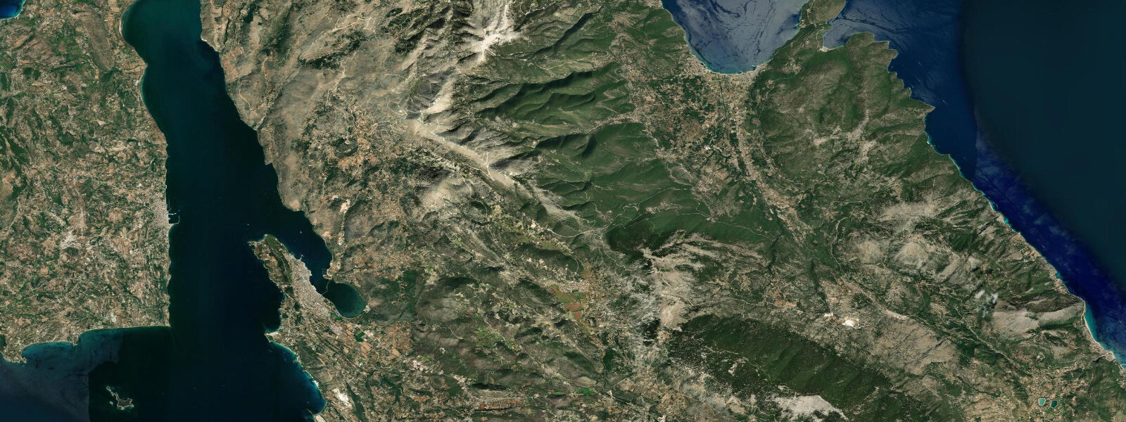
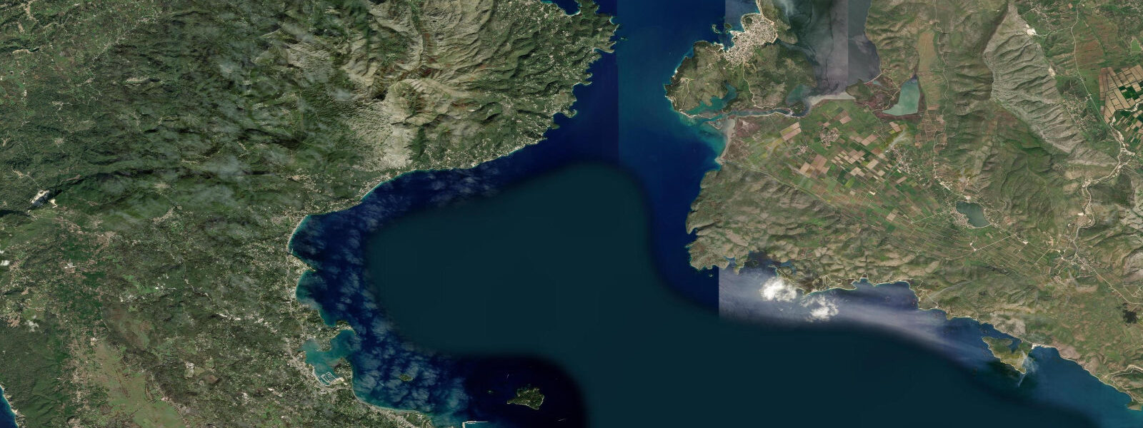
Kefalonia is the largest of the Ionian Islands, and Argostóli — the island capital — sits on a south-pointing peninsula at the head of the Argostóli Gulf (Kólpos Argostóliou), a bay nearly enclosed from the Ionian Sea by the Lassi peninsula to the west. The gulf is approximately 8 km deep and 3 km wide, orientated roughly north–south, with calm water even when the open coast is rough. The town waterfront faces west across the gulf toward the Lassi shore.
The tidal range at Argostóli is 0.3–0.4 m mean — somewhat smaller than Corfu to the north, consistent with the general south-to-north increase in the Ionian tidal signal as proximity to the Adriatic increases. Tides are semidiurnal; the Hellenic Navy Hydrographic Service (HNHS) publishes official predictions for Argostóli port. TideTurtle displays Open-Meteo Marine modelled data (±45 min, ±0.2–0.3 m accuracy).
Argostóli's most distinctive feature is the Katavothres — the sea mills at the tip of the De Bosset causeway that bisects the northern gulf. Here, seawater flows visibly into sinkholes in the low limestone coastal rock, disappearing into fissures in the karst. The flow is permanent and continuous; it was strong enough to drive industrial sea mills in the early 19th century (the mills were destroyed in the 1953 earthquake but the hydraulic mechanism continues). Radioactive tracer experiments conducted in 1963 confirmed that the water that enters the Katavothres sinkholes travels approximately 15 km underground through the island's limestone aquifer system and re-emerges at Sami on the eastern coast, having descended to depth and crossed beneath the island's mountain spine. The journey takes approximately 14 days.
The hydraulic mechanism driving the inflow is not purely tidal but is linked to the sea level and density difference between the western (Ionian) and eastern (Saronikos-facing) coasts of the island. The Ionian coast sits at slightly lower effective sea level than the eastern Kefalonian coast due to density differences in the two water bodies; this persistent hydraulic head draws surface water into the sinkholes. The flow rate varies with sea level — it is strongest at higher tidal states when the Argostóli Gulf is at its fullest — and was measurably reduced after the 1953 Ionian earthquake reshaped the karst plumbing. The current flow is approximately 15,000 m³ per day at peak, which is enough to see the whirlpool-like surface draw at the Katavothres rocks even from the causeway bridge.
The De Bosset Bridge — a stone causeway 691 m long crossing the northern Argostóli Gulf — was built by the British colonial administration in 1813 and is claimed to be the longest stone bridge over the sea in the world. The tidal current under the bridge is perceptible: on the flood, the gulf fills and there is a net inward flow under the bridge arches; on the ebb, the reverse. Current velocity under the arches reaches 0.3–0.5 knots at mid-tide.
Mytos Beach, 25 km north of Argostóli on the northwestern coast, is a cliff-backed cove that regularly features in European best-beach rankings. The beach is white coarse limestone pebble and gravel; the water is a specific shade of cobalt blue caused by the combination of the pale bottom, the cliff height blocking wind shadow, and the depth drop-off. Access is via a steep serpentine road descending 300 m from the cliff top. At low water the beach extends approximately 10–15 m further seaward; the shallow-angle foreshore makes the tidal difference more visible here than on a steep-slope pebble beach.
Diving around Kefalonia concentrates on the Fiscardo area at the island's northern tip, where the passage between Kefalonia and Lefkada narrows to 1.5 km and the tidal current through the passage runs at 0.5–0.8 knots. The underwater topography includes walls, boulders, and posidonia meadows at 10–25 m. The 1953 earthquake created an extensive underwater debris field along the northwest coast; remnants of collapsed structures are now colonised and form an artificial reef. Sea temperatures at Kefalonia are 25–27°C in summer; the Ionian is marginally warmer than the Aegean at equivalent latitudes due to reduced mixing.
The Kefalonia and Ithaki earthquake of August 1953 destroyed 85% of Argostóli's buildings and most structures on the island. The town was rebuilt from scratch in a broadly 1950s concrete vernacular. The pre-earthquake architecture survives only in Fiscardo in the north, which was spared. This rebuilding is relevant to understanding the coastal infrastructure: the current harbour walls, quays, and marina are all post-1953 construction, and the chart datum and baseline tidal data for Argostóli were re-established after the earthquake altered the local land level.
Tide questions about Kefalonia (Argostóli)
Quick answers to the most common questions about tide times, range, and water access at Kefalonia (Argostóli).
How do the Katavothres sea mills work — is it actually the tide driving the water in?
The Katavothres inflow at Argostóli is driven primarily by a persistent hydraulic head difference between the western Ionian coast and the eastern coast of Kefalonia, caused by a density difference between the two water bodies rather than the astronomical tide alone. The water flows continuously into the sinkholes regardless of tidal state — the mechanism never stops. However, the flow rate is higher at elevated sea levels (near high water) when more water is available in the gulf. The water travels approximately 15 km underground through limestone karst and re-emerges at Sami on the eastern coast after about 14 days, as confirmed by radioactive tracer experiments in 1963. The flow was partially disrupted by the 1953 earthquake but recovered to approximately 15,000 m³ per day at current estimates.
What is the tidal range at Argostóli, and does it affect the harbour?
The mean tidal range at Argostóli is 0.3–0.4 m, based on HNHS harmonic data for Kefalonia. Spring tides reach approximately 0.4–0.5 m. The Argostóli Gulf is semi-enclosed, so tides are slightly damped compared to the open Ionian coast. The harbour has ample depth on its post-1953 quays and the tidal range has no effect on vessel access or marina operations. The tidal current under the De Bosset Bridge — the 1813 stone causeway crossing the northern gulf — reaches 0.3–0.5 knots at mid-tide and is noticeable to kayakers passing under the arches.
What happened to Argostóli in 1953 — and why does it matter for the waterfront?
The Ionian earthquake of August 12, 1953 (magnitude 7.2) destroyed 85% of Argostóli's buildings and killed hundreds on the island. The town was rebuilt entirely in the following decade in a 1950s concrete vernacular. The harbour quays, marina walls, and all coastal infrastructure are post-earthquake construction. This matters for tidal data because the earthquake altered local land elevation, requiring the re-establishment of the chart datum and tidal benchmarks after 1953. The HNHS tidal data for Argostóli is referenced to post-earthquake benchmarks; the pre-earthquake sea level records are not directly comparable. Fiscardo, at the northern tip of the island, was the only settlement largely spared by the earthquake and retains pre-1953 Venetian-era architecture.
Is Mytos Beach accessible, and when is it least crowded?
Mytos Beach is accessible via a steep serpentine road descending 300 m from the cliff-top parking area, 25 km north of Argostóli. The road is narrow and single-track in places; in peak summer (July–August) a morning arrival before 10:00 is necessary to secure parking. The beach itself is white coarse limestone pebble; there are no facilities beyond seasonal sun-lounger hire. At low water the beach extends 10–15 m further seaward than at high water, which is visible on the gently-angled foreshore. The most photographically striking conditions are mid-morning when the cliff shadow has lifted from the water surface (approximately 09:30–10:30 depending on season) and the cobalt colour is fully developed.
Are the tide predictions for Kefalonia on TideTurtle reliable for planning dives or boat trips?
For general trip planning — choosing departure windows, estimating current state for kayaking under the De Bosset Bridge, timing a visit to the Katavothres at high water — TideTurtle's Open-Meteo Marine data is adequate. The model carries ±45 minutes timing accuracy and ±0.2–0.3 m height accuracy. The mean tidal range at Argostóli is 0.3–0.4 m, so the height uncertainty is a significant fraction of the total range. For navigation, passage planning around Fiscardo, or any safety-critical use, consult HNHS official tide tables for Kefalonia (Argostóli) directly. TideTurtle predictions are a planning aid, not a navigational reference.
8-day tide table — Kefalonia (Argostóli)
Heights relative to MSL. Predictions: Open-Meteo Marine (MeteoFrance SMOC, 0.08° grid) — heights relative to MSL (not chart datum / LAT). Model-derived.
| Day | Type | Time | Height |
|---|---|---|---|
| Sun 21 Jun | High | 10:00 | -0.6m |
| Low | 15:00 | -0.6m | |
| Mon 22 Jun | — | ||
| Tue 23 Jun | — | ||
| Wed 24 Jun | High | 13:00 | -0.5m |
| Thu 25 Jun | Low | 07:00 | -0.6m |
| Fri 26 Jun | — | ||
| Sat 27 Jun | — | ||
| Sun 28 Jun | High | 02:00 | -0.5m |