Corfu (Kérkyra) tide times
Corfu (Kérkyra) tide forecast — heights relative to MSL.
Tide chart for Corfu (Kérkyra)
24-hour cosine-interpolated curve around the present moment. Heights relative to MSL. Predictions: Predictions: Open-Meteo Marine (MeteoFrance SMOC, 0.08° grid).
Sun, moon and conditions on Sun 21 Jun
Snapshot at build time — refreshes daily. Sea state from Open-Meteo Marine.
Highs and lows next 7 days
Every predicted high and low for the next week, with the daily tidal coefficient (0–120; higher = bigger swing, > 95 means stronger currents).
Other spots nearby
The three closest curated TideTurtle locations to Corfu (Kérkyra), measured by great-circle distance.
Today's solunar windows
Solunar tradition: major periods are the ≈3h windows around moon transit and opposition; minor are ≈2h around moonrise and moonset. Pair with the local tide stage and wind for the best read.
About tides at Corfu (Kérkyra)
A short guide to the coastline at Corfu (Kérkyra) — geography, sea state, and what the tide is actually doing under your feet.
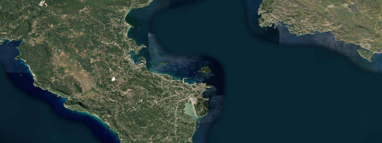
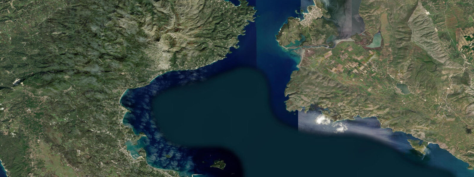
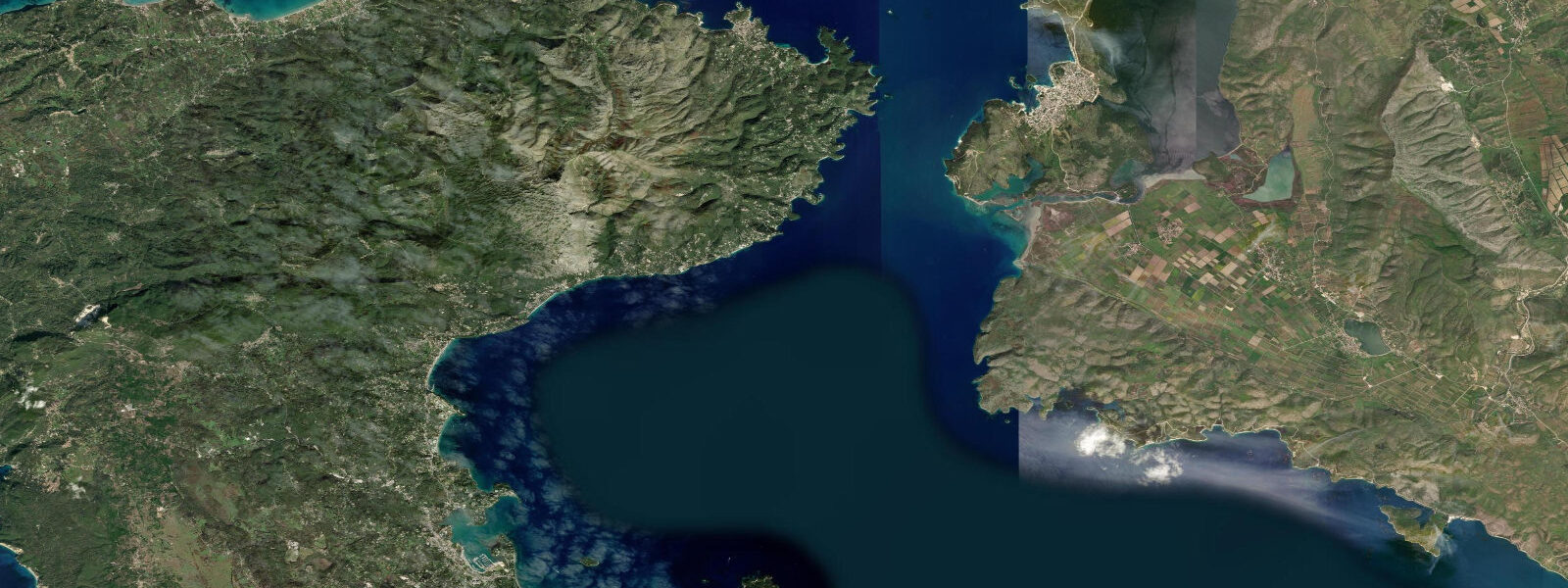
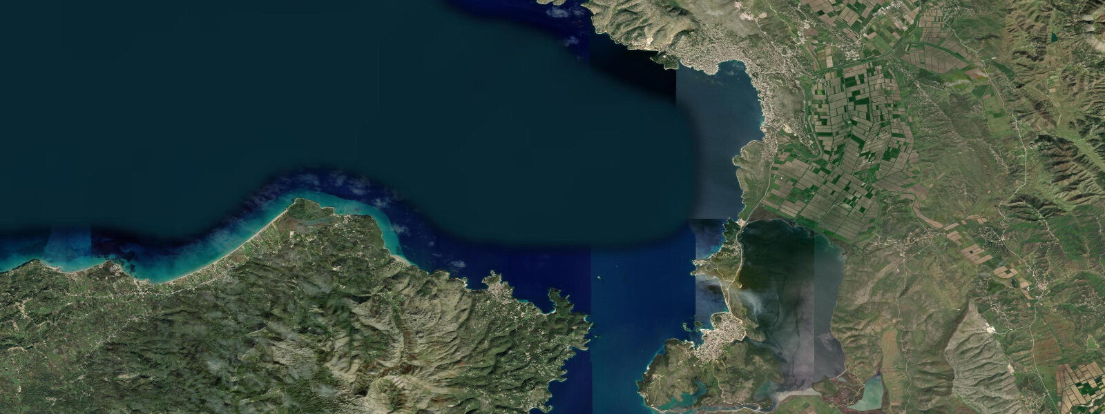
Corfu (Kérkyra) is the northernmost of the main Ionian Islands, sitting in the channel between northwestern Greece and Albania. The island is long and narrow — 61 km from north to south, 4–30 km wide — oriented roughly north-northwest to south-southeast. The Corfu Channel, the passage between the island's eastern coast and the Albanian mainland (at its narrowest approximately 3 km wide), is the main maritime corridor for vessels moving between the Adriatic and the southern Ionian Sea. Most ferry traffic — including the daily routes to the Italian ports of Brindisi, Bari, Ancona, and Venice — passes through this channel.
Corfu has the largest tidal range in Greek waters. The mean range in the Corfu Channel runs 0.4–0.6 m, significantly higher than the near-zero tides of the Aegean or the central Mediterranean. This elevated range is a consequence of the channel's orientation and its position relative to the Adriatic's tidal resonance: tidal energy from the northern Adriatic propagates south and amplifies slightly in the restriction of the Corfu Channel. The tidal current through the narrowest section runs at 0.5–1.0 knots at mid-tide ebb and flood, with the ebb running south-southeast and the flood north-northwest. The Hellenic Navy Hydrographic Service (HNHS) publishes official tide tables for Kérkyra port; TideTurtle uses Open-Meteo Marine modelled data (±45 min, ±0.2–0.3 m accuracy) as the display source.
Kérkyra town (Corfu Town) is a UNESCO World Heritage Site, listed for the Venetian-era fortifications and the urban fabric of the old town. The New Fortress and the Old Fortress frame the harbour; the Liston — a Venetian-era arcade along the Esplanade — is the social spine of the old town. The Old Fortress occupies a rocky promontory on the eastern edge of the town, projecting into the Corfu Channel; its seaward walls drop directly to the sea, and the tidal range here is sufficient to leave a visible tide mark on the masonry at the base of the foundations. At low water (0.3–0.4 m below mean in a normal tidal cycle), the rock bench at the base of the Old Fortress is partially exposed — enough to walk along in calm conditions.
The Corfu Channel crossing is monitored by the Albanian and Greek coastguards. The channel is deep — minimum charted depth is 18 m — so the tidal range has no effect on vessel passage. The tidal current is the relevant variable for small boat operators: kayaks, sailing dinghies, and RIBs transiting the channel benefit from timing the departure to use the flood or ebb current. A 1.0-knot current over a 2-hour crossing adds or subtracts 2–3 km of distance made good, which is significant in a sea kayak.
The beaches of the northwest coast — Paleokastritsa, Glyfada, Agios Gordios — face the open Ionian Sea and are exposed to long-period Atlantic swell that wraps around the northwest tip of the island. In summer, when the Meltemi wind system dominates the Aegean, a residual southwesterly swell persists along the Ionian coast. The northwest beaches see 0.5–1.0 m of surf periodically, which is unusual for the Mediterranean and gives them a surfing and boogie-boarding season in late September–October when swell frequency increases. The tidal range on the exposed Ionian coast is similar to the channel side: 0.4–0.6 m.
The interior of Corfu is unusual for a Greek island: high olive groves, cypress trees, and a verdant, damp landscape produced by winter rainfall totals of 1,200 mm or more — the highest of any Greek island and a direct consequence of the wet Adriatic weather systems that track south through the channel in winter. The island was under Venetian control from 1386 to 1797 and the architectural and cultural imprint of that occupation is total: the fortifications, the cricket pitch on the Esplanade (introduced by the British in the 1800s), the coumquat liqueur production, and the density of olive trees all date from or were accelerated by these occupations.
For diving, the Corfu coast offers wall dives off the northwest headlands, cave systems in the limestone, and anchor chain sites from ancient vessels recorded in the offshore sediment surveys. The Ionian University runs a coastal monitoring programme; the data feed contributes to the HNHS tidal record. Sea temperature in summer runs 26–28°C; in winter the channel water drops to 14–16°C.
Tide questions about Corfu (Kérkyra)
Quick answers to the most common questions about tide times, range, and water access at Corfu (Kérkyra).
Why does Corfu have higher tides than other Greek islands?
Corfu's elevated tidal range — 0.4–0.6 m mean in the Corfu Channel — reflects the island's position at the southern end of the Adriatic tidal system. The Adriatic is a semi-enclosed sea with a natural resonance period close to the tidal forcing frequency, which amplifies tidal energy in the northern basin. Tidal waves propagating from the Atlantic through the Strait of Gibraltar into the Mediterranean reach the Adriatic and resonate; the northern end (Venice) sees ranges of 0.8–1.0 m. By the time this energy exits the Adriatic into the Ionian Sea, it has dissipated considerably, but the Corfu Channel's restricted geometry concentrates it enough to produce Greece's largest tidal range. The Aegean Sea has a near-zero amphidromic node that eliminates tidal range almost entirely — 0.05–0.10 m is typical on Aegean shores.
Does the tidal current in the Corfu Channel matter for kayaking or small boats?
Yes, it matters more here than almost anywhere else in Greece. The tidal current through the narrowest section of the Corfu Channel runs at 0.5–1.0 knots at mid-tide, ebbing south-southeast and flooding north-northwest. For a sea kayaker, 1.0 knot of current against your direction of travel over a 2-hour leg adds roughly 3–4 km of extra work. Planning a channel crossing or a coastal paddle along the eastern shore around the tidal cycle is practical — use the HNHS tide table for Kérkyra port, identify the predicted high and low water times, and time the transit for the slack water window (30–45 minutes either side of high or low water) or for the favourable current direction.
What is the best base for exploring the northwest Corfu surf beaches?
Paleokastritsa is the main hub for the northwest coast, with accommodation, dive operators, and boat hire. Glyfada and Agios Gordios are 15–20 minutes south by road. The northwest coast faces the open Ionian and receives periodic Atlantic swell in late summer and autumn; surfable waves (0.5–1.0 m) appear from late September through November when Atlantic storm tracks intensify. Summer conditions are generally flat or small — the northwest beaches are more relevant for snorkelling, boat exploration of the sea caves, and photography at that time. The cave system at Paleokastritsa — accessible by small hire boat from the main beach — is tidal enough to show a 0.3–0.4 m water level change at the cave entrance between tidal states.
Can I walk at the base of the Old Fortress at low tide?
At low water in the Corfu Channel, the rock bench at the base of the Old Fortress seawall is partially exposed — typically 0.2–0.3 m of rock between the waterline and the base of the Venetian masonry. In calm conditions, walking along this section is possible, though the rock is irregular and algae-covered near the waterline. The HNHS official tide table for Kérkyra shows the twice-daily low water times and heights; the lower of the two daily low waters is the more useful target. The section is not formally a visitor access route but is used by local anglers and occasional rock walkers. Weather is the main constraint: any swell from the south makes the base of the fortress wall unsafe.
Are the tide predictions on TideTurtle for Corfu reliable enough for trip planning?
For planning day trips, beach visits, and coastal kayaking, yes — with caveats. TideTurtle uses the Open-Meteo Marine model, which has timing accuracy of ±45 minutes and height accuracy of ±0.2–0.3 m. The Corfu Channel's mean tidal range is 0.4–0.6 m, so the height uncertainty is proportionally significant — about half the range. For navigation, passage planning through the Corfu Channel, or any safety-critical decision, use the authoritative HNHS tide tables for Kérkyra port. The Hellenic Navy Hydrographic Service publishes annual tide tables for Greek ports; these are the correct reference for marine use.
8-day tide table — Corfu (Kérkyra)
Heights relative to MSL. Predictions: Open-Meteo Marine (MeteoFrance SMOC, 0.08° grid) — heights relative to MSL (not chart datum / LAT). Model-derived.
| Day | Type | Time | Height |
|---|---|---|---|
| Sun 21 Jun | — | ||
| Mon 22 Jun | — | ||
| Tue 23 Jun | — | ||
| Wed 24 Jun | — | ||
| Thu 25 Jun | — | ||
| Fri 26 Jun | High | 15:00 | -0.4m |
| Sat 27 Jun | Low | 09:00 | -0.6m |
| Sun 28 Jun | High | 02:00 | -0.5m |