
Rhodes tide times
Rhodes tide forecast — heights relative to MSL.
Today's tide times for Rhodes
Tide times at Rhodes on Friday, 31 July 2026: first high tide at 12:00. Sunrise 06:11, sunset 20:14.
Tide chart for Rhodes
24-hour cosine-interpolated curve around the present moment. Heights relative to MSL. Predictions: Predictions: Open-Meteo Marine (MeteoFrance SMOC, 0.08° grid).
Sun, moon and conditions on Fri 31 Jul
Snapshot at build time — refreshes daily. Sea state from Open-Meteo Marine.
Highs and lows next 7 days
Every predicted high and low for the next week, with the daily tidal coefficient (0–120; higher = bigger swing, > 95 means stronger currents).
Other spots nearby
The three closest curated TideTurtle locations to Rhodes, measured by great-circle distance.

Today's solunar windows
Solunar tradition: major periods are the ≈3h windows around moon transit and opposition; minor are ≈2h around moonrise and moonset. Pair with the local tide stage and wind for the best read.
About tides at Rhodes
A short guide to the coastline at Rhodes — geography, sea state, and what the tide is actually doing under your feet.
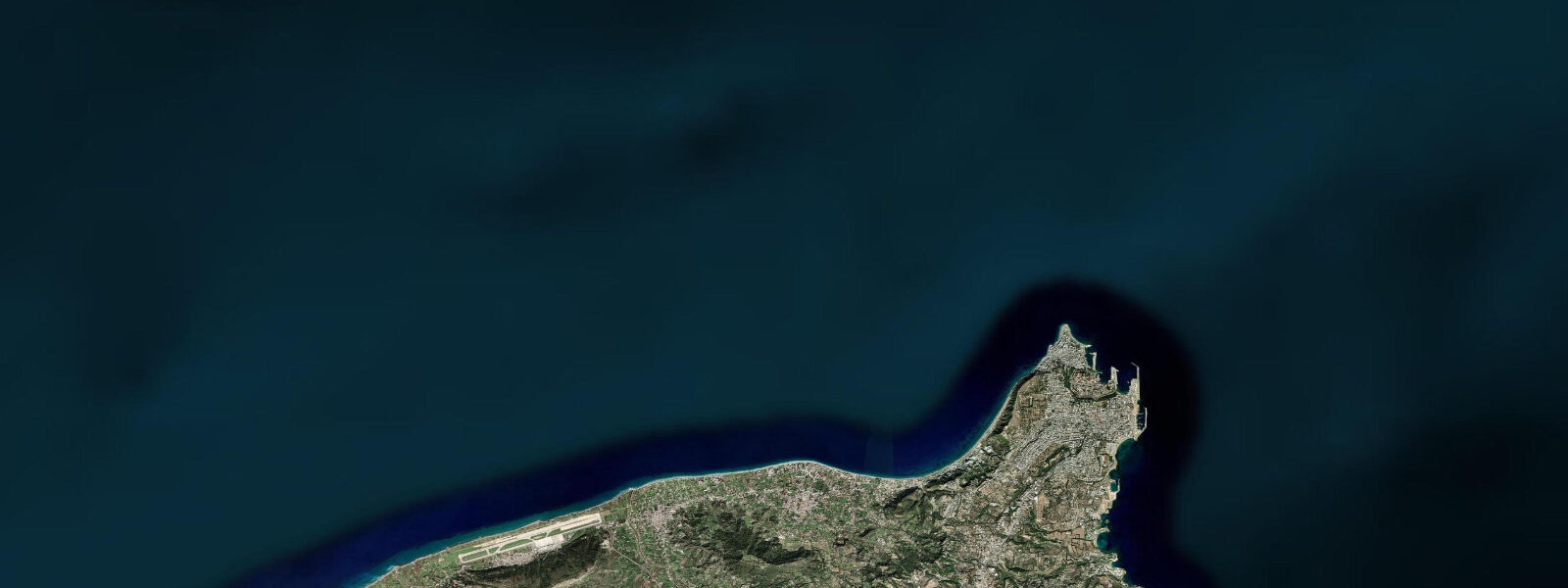
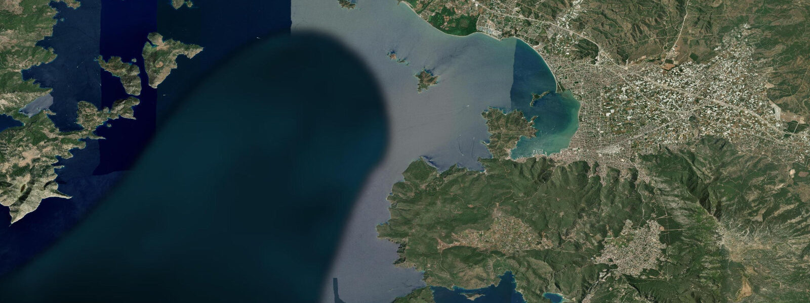
Rhodes sits at the southern tip of the Dodecanese chain, 18 kilometres from the Turkish coast at the closest point — a small crossing that represents a significant political and regulatory boundary. The island is roughly 77 kilometres from north to south, mountainous through its spine, with the main town at the northern tip and the rest of the population scattered through inland villages and the handful of larger resort settlements on the western coast. The eastern coast is more exposed to the open sea; the western coast sits in the lee of the island's profile from the dominant northwesterly Meltemi.
The tidal environment at Rhodes is Eastern Mediterranean microtidal: mean spring range of 0.2 to 0.4 metres, with neap tides reducing to 0.1 to 0.15 metres. The Aegean Sea's tidal character is the product of its semi-enclosed geometry — the tidal signal enters from the Eastern Mediterranean through the straits between the Dodecanese and the Turkish coast, but the basin's resonance characteristics limit amplification. In practical terms, the water level at any Rhodes beach on any given day is determined far more by wind setup and weather patterns than by the position of the moon.
The Meltemi is the dominant operational factor from June through September. This persistent northerly wind — driven by the pressure gradient between the thermal low over the Anatolian plateau and the Atlantic High — arrives in the Dodecanese from the northwest and can blow at 20 to 35 knots for days at a time during peak summer. On the exposed northern beaches of Rhodes (Elli Beach, the beaches along the northern peninsula where the old town stands), a strong Meltemi means choppy water and blown sand. On the eastern coast (Faliraki, Lindos Bay, Prasonisi at the southern tip), conditions vary by the orientation of each beach relative to the wind direction. Prasonisi at the extreme south of the island, where a sandy tombolo connects a small islet to the main island, is one of the few locations in the Aegean where two sea sides are accessible simultaneously — creating an almost perfect natural wind laboratory, with the western side typically choppy and the eastern side flatter.
The medieval walled city of Rhodes is the island's defining physical feature. The Knights of St John fortified the existing Byzantine settlement after their arrival in 1309, building the circuit walls, the Palace of the Grand Master, and the Street of the Knights over the following century. The Ottoman period (1522–1912) added mosques, a covered bazaar, and the characteristic mix of architectural layers that defines the old town today. The UNESCO designation covers the entire medieval city — about 250 hectares within the walls.
Mandraki harbour on the northern tip of the city, just outside the old town walls, is where the Colossus of Rhodes is traditionally said to have stood. The bronze statue of Helios — one of the Seven Wonders of the Ancient World, built around 280 BCE to celebrate the island's successful defence against Demetrius Poliorcetes — collapsed in an earthquake in 226 BCE. Estimates of its height range from 30 to 33 metres. Medieval sources describe it straddling the harbour entrance, though this is likely a medieval invention — the statue probably stood on or near the harbour mole. Today two stone columns topped with bronze deer mark the harbour entrance where the Colossus is traditionally located. The harbour itself handles ferry traffic to Athens (Piraeus), Crete, the other Dodecanese islands, and across the narrow channel to Marmaris in Turkey.
Diving around Rhodes is well-developed, with multiple dive centres operating on both the western and eastern coasts. The clear Aegean water — typical visibility 20 to 30 metres on settled days — and the absence of significant tidal current make Rhodes a straightforward dive destination from a conditions standpoint. Dive planning focuses on Meltemi windows and swell exposure rather than tidal timing. The underwater topography includes wall dives along the basalt and limestone coastline, as well as several wreck sites from 20th-century shipping activity.
For yacht skippers navigating the Dodecanese, tidal awareness remains relevant even at 0.2 to 0.4 metre range. The many small anchorages and shallow harbours in the chain — at Symi, Halki, Tilos, and the smaller uninhabited islets — have keel-depth margins narrow enough that the modest tidal range matters at low water. The Meltemi's effect on sea level — 0.2 to 0.3 metres of setup on leeward shores — adds to the tidal low in some configurations and partially offsets it in others, meaning the effective low-water clearance can be meaningfully different from the predicted tidal datum.
Tide predictions on this page come from Open-Meteo Marine — model-derived, typically accurate to plus or minus 45 minutes on timing and 0.2 to 0.3 metres on height, not a local gauge. For the 0.2 to 0.4 metre range at Rhodes, the height uncertainty is comparable to the tidal range itself, so use these predictions as general orientation rather than precision navigation data.
Tide questions about Rhodes
Quick answers to the most common questions about tide times, range, and water access at Rhodes.
When is the next high tide in Rhodes?
The tide table at the top of this page shows predicted high and low tide times for Rhodes in local time (EET/EEST — UTC+2 in winter, UTC+3 in summer from the last Sunday of March to the last Sunday of October). High and low tides occur approximately twice daily. Data comes from Open-Meteo Marine, accurate to typically plus or minus 45 minutes on timing and 0.2 to 0.3 metres on height — model-derived, not a local gauge. Given the small spring range of 0.2 to 0.4 metres at Rhodes, the height uncertainty is comparable to the tidal range itself. The Meltemi wind's sea-level effect often exceeds the astronomical tide at exposed locations.
What is the tidal range at Rhodes?
Mean spring tidal range at Rhodes is approximately 0.2 to 0.4 metres — microtidal, consistent with the broader Aegean and Eastern Mediterranean character. Neap tides reduce the range to 0.1 to 0.15 metres. The Aegean is a semi-enclosed sea whose geometry limits tidal amplification; the signal entering from the open Mediterranean through the straits between the Dodecanese and Turkey is small to begin with and does not resonate strongly within the Aegean basin. Wind-driven sea level changes from the Meltemi (0.2 to 0.3 metres of setup on leeward shores) and meteorological pressure variation routinely exceed the astronomical tidal range.
Where does the Rhodes tide data come from?
Tide predictions on this page come from Open-Meteo Marine, a free gridded global ocean model. The data is model-derived, not from a local gauge — accuracy is typically within plus or minus 45 minutes on timing and 0.2 to 0.3 metres on height. Sea-level monitoring in Greek waters is maintained by HNHS (Hellenic Navy Hydrographic Service), which operates tide gauge stations at major Greek ports including Piraeus, Heraklion, and Rhodes. The HNHS publishes official Greek tide tables. For authoritative navigation data in the Dodecanese, the HNHS tide almanac and Hellenic Coast Guard notices to mariners are the reference sources.
How does the Meltemi wind affect conditions at Rhodes?
The Meltemi is the dominant summer weather pattern in the Aegean, blowing from the northwest at 20 to 35 knots for days at a time from June through September. At Rhodes, the Meltemi creates choppy conditions on north-facing and west-facing beaches (Elli Beach, beaches along the northern peninsula) while leaving south-facing and east-facing shores in relative shelter. The wind can also drive 0.2 to 0.3 metres of wind setup on leeward shores — more than the astronomical tidal range. The southern tip of the island at Prasonisi is a noted kitesurfing and windsurfing destination precisely because it offers both windward and leeward sides simultaneously. Expect the Meltemi to arrive by late morning and subside after sunset.
Can I navigate a yacht around the Dodecanese without worrying about tides?
Mostly yes, but not entirely. The 0.2 to 0.4 metre spring tidal range in the Dodecanese is small enough that it rarely governs passage planning the way Atlantic tides do. However, it matters in the many shallow anchorages and small harbours throughout the island chain — at Symi, Halki, Tilos, and various uninhabited islet anchorages — where keel clearance at low water may be tight. The Meltemi adds complexity: 0.2 to 0.3 metres of wind setup on leeward shores means effective water depth can be meaningfully different from the tidal datum at exposed low-water anchorages. The primary navigation variables in the Dodecanese are Meltemi timing, ferry and commercial traffic in the ferry lanes, and shallow-draft awareness around the smaller islands. Treat the tide predictions as a secondary input, not your primary reference.
8-day tide table — Rhodes
Heights relative to MSL. Predictions: Open-Meteo Marine (MeteoFrance SMOC, 0.08° grid) — heights relative to MSL (not chart datum / LAT). Model-derived.
| Day | Type | Time | Height |
|---|---|---|---|
| Fri 31 Jul | High | 12:00 | -0.2m |
| Sat 01 Aug | Low | 19:00 | -0.5m |
| Sun 02 Aug | High | 00:50 | -0.3m |
| Low | 07:00 | -0.5m | |
| High | 13:00 | -0.3m | |
| Low | 19:10 | -0.5m | |
| Mon 03 Aug | — | ||
| Tue 04 Aug | — | ||
| Wed 05 Aug | — | ||
| Thu 06 Aug | — | ||
| Fri 07 Aug | High | 02:00 | -0.3m |