Rügen tide times
Rügen tide forecast — heights relative to MSL.
Tide chart for Rügen
24-hour cosine-interpolated curve around the present moment. Heights relative to MSL. Predictions: Predictions: Open-Meteo Marine (MeteoFrance SMOC, 0.08° grid).
Sun, moon and conditions on Fri 19 Jun
Snapshot at build time — refreshes daily. Sea state from Open-Meteo Marine.
Highs and lows next 7 days
Every predicted high and low for the next week, with the daily tidal coefficient (0–120; higher = bigger swing, > 95 means stronger currents).
Other spots nearby
The three closest curated TideTurtle locations to Rügen, measured by great-circle distance.
Today's solunar windows
Solunar tradition: major periods are the ≈3h windows around moon transit and opposition; minor are ≈2h around moonrise and moonset. Pair with the local tide stage and wind for the best read.
About tides at Rügen
A short guide to the coastline at Rügen — geography, sea state, and what the tide is actually doing under your feet.
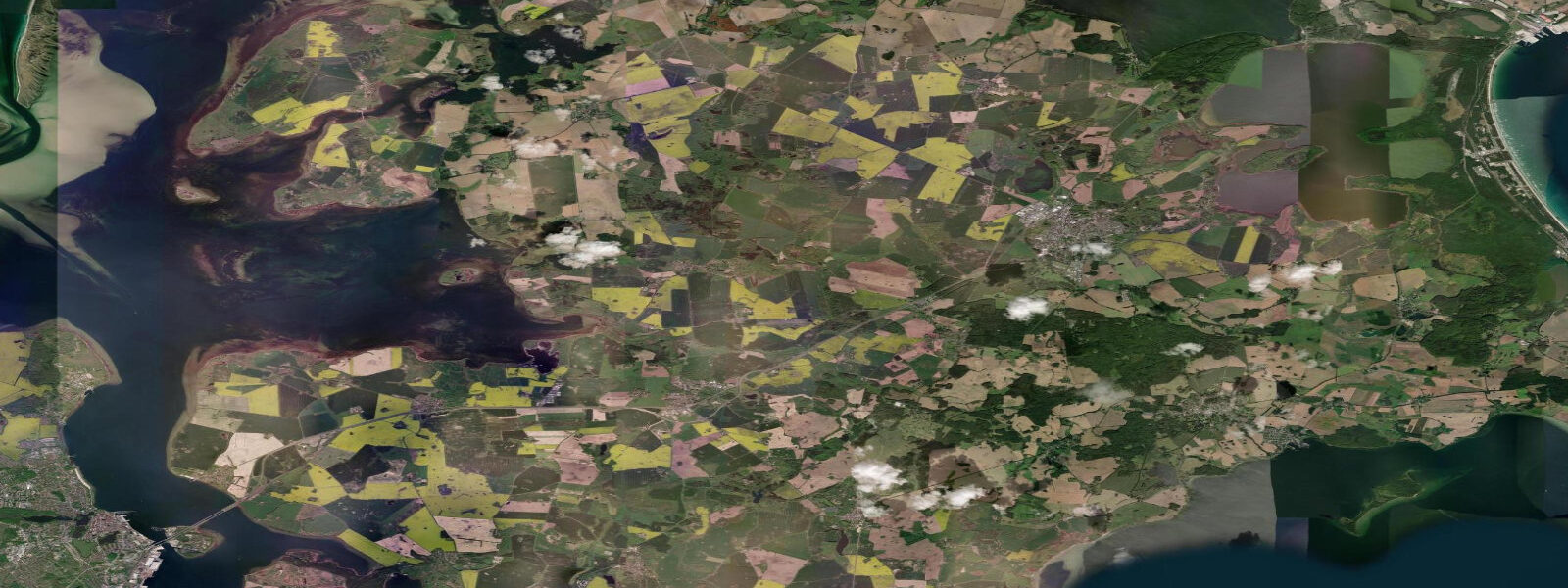
Rügen is Germany's largest island and the most visited coastline in the country by domestic tourism. The chalk cliffs of Jasmund — the Königsstuhl and Wissower Klinken — are the visual anchor: white chalk faces rising 118 metres above the Baltic, covered in beech forest to the edge, stained orange and green by algae at the waterline. The Jasmund National Park surrounding them is one of the few areas of virgin beech forest remaining in Central Europe and has UNESCO World Heritage status.
The Baltic Sea has minimal tidal range — typically 0.1 to 0.2 metres at Rügen. What drives water level is wind. Easterly winds push water out of the western Baltic; westerlies and northwesterlies pile it back in, and a sustained northwest gale can raise sea level by 1.5 metres above normal. This wind-surge effect (Windstau) is the Baltic equivalent of tidal variation and requires more attention than the nominal tide curve suggests. Storm-surge events in November and December historically produce the most extreme water levels.
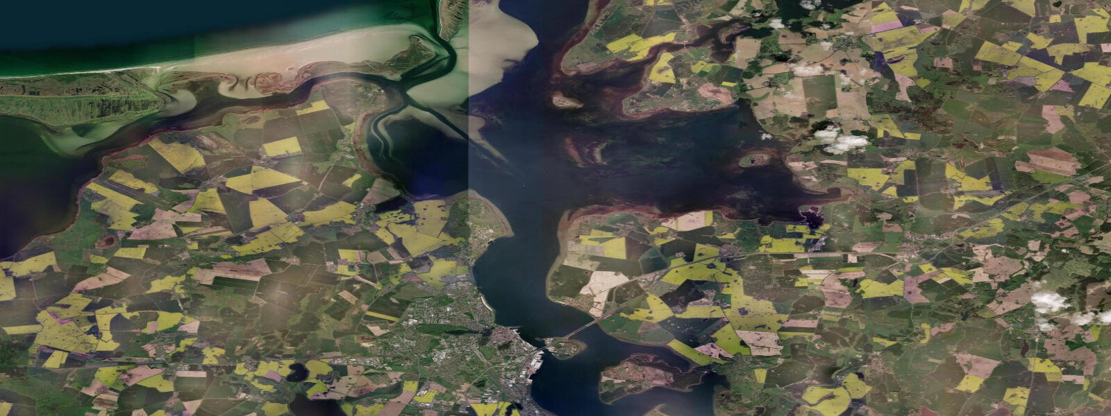
The island's coast has multiple beach types. The Prora strand on the eastern shore — a straight, 4.5-kilometre beach of white sand — is one of the finest in the Baltic, backed by what remains of the massive Nazi-era Kraft durch Freude resort complex (now being converted to apartments and hotels, controversially). The Binz resort area on the southeast shore has the most developed beach infrastructure. Sellin and Baabe on the southern Granitz peninsula offer quieter access. The Bodden lagoon system on the southwest side of the island provides sheltered kayaking territory.
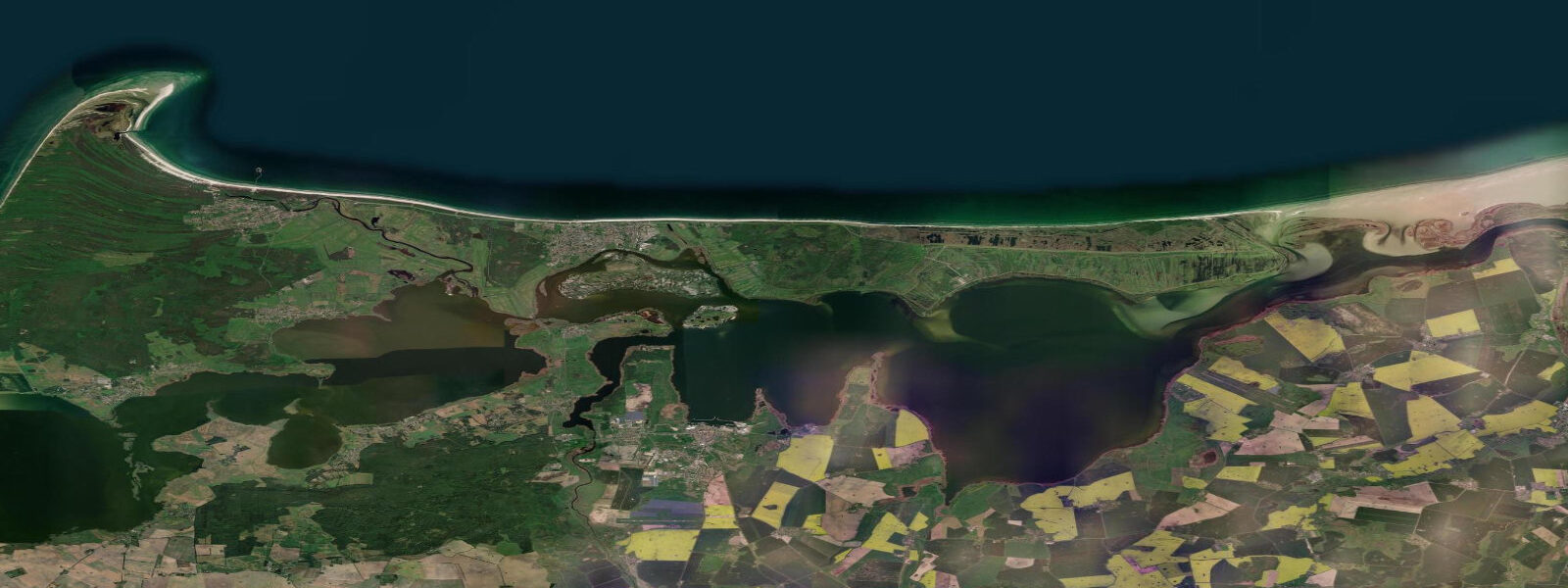
Kite and windsurf conditions concentrate at Dranske on the northwest tip of the Wittow peninsula, which receives the longest fetch from the Baltic. The Schaabe isthmus connecting Rügen to the Jasmund peninsula is another wind sport zone. For swimmers, the water temperature ranges from 6°C in February to 21°C in July–August; the Baltic is relatively low-salinity, which affects buoyancy slightly.
The chalk cliffs are best visited on a calm day at the Königsstuhl National Park Centre, which manages access to the cliff edge. The Herthasee, a freshwater lake in the beech forest above the cliffs associated in local legend with the Germanic goddess Hertha, is a 30-minute walk from the centre. The fishing village of Vitt, accessible only on foot from the Kap Arkona lighthouse promontory, gives a sense of the island's landscape before resort development.
Predictions on this page come from Open-Meteo Marine, a gridded global ocean model. Accuracy is typically within plus or minus 45 minutes on timing and 0.2 to 0.3 metres on height — model-derived, not from a local gauge. For authoritative German tide data, consult the Bundesamt für Seeschifffahrt und Hydrographie (BSH).
Tide questions about Rügen
Quick answers to the most common questions about tide times, range, and water access at Rügen.
What is the tidal range at Rügen?
Rügen's tidal range is 0.1 to 0.2 metres — the Baltic Sea is effectively non-tidal. What drives water level changes is wind: easterlies drain the western Baltic while sustained westerlies and northwesterlies push water back in, creating surges of up to 1.5 metres above normal in severe storms (Windstau events). November and December carry the highest storm-surge risk.
How do I see the Jasmund chalk cliffs?
The main access is through the Königsstuhl National Park Centre near Sassnitz. From the centre, marked trails reach the cliff edge viewpoints (about 2.5 km return). The most dramatic view is from the Königsstuhl platform — 118 metres above the Baltic. A second access option is the beach walk from Sassnitz harbour along the base of the cliffs at low surge conditions (the path can flood during Windstau events). Allow 3–4 hours for the full cliff walk.
What is the Prora beach complex?
Prora is a 4.5-kilometre beach on Rügen's eastern coast backed by one of the largest surviving buildings from the Nazi era — a 4.5-kilometre long resort complex built 1936–1939 for the Kraft durch Freude ('Strength through Joy') programme, intended to provide beach holidays for 20,000 workers simultaneously. It was never finished or used for its original purpose. Sections are being converted to apartments and a hotel; others remain derelict. The beach itself is excellent regardless of the building controversy.
When is the Baltic Sea warmest at Rügen?
Sea temperature peaks in late July and August at 19–22°C, occasionally reaching 23°C in a hot summer. June typically sees 15–17°C — cool for some but adequate with a short wetsuit. The Baltic's low salinity (about one-quarter the salt concentration of the North Sea) means it heats and cools faster than the ocean. By October it drops below 15°C and most swimmers are done for the year.
Is Rügen suitable for kitesurfing?
Yes. The Dranske area on the Wittow peninsula's northwest tip and the Schaabe isthmus are the main kite zones, with consistent Baltic westerlies and northwesterlies. The non-tidal flat water suits learners; the long Baltic fetch produces real swell on active days for advanced riders. The wind season runs year-round, with strongest and most consistent winds from September through April. Schools operate from Dranske and the Binz beachfront.
7-day tide table — Rügen
Heights relative to MSL. Predictions: Open-Meteo Marine (MeteoFrance SMOC, 0.08° grid) — heights relative to MSL (not chart datum / LAT). Model-derived.
| Day | Type | Time | Height |
|---|---|---|---|
| Fri 19 Jun | — | ||
| Sat 20 Jun | High | 13:50 | -0.2m |
| Sun 21 Jun | Low | 05:42 | -0.3m |
| High | 08:15 | -0.2m | |
| Low | 10:10 | -0.2m | |
| High | 12:50 | -0.2m | |
| Low | 16:10 | -0.3m | |
| Mon 22 Jun | High | 15:00 | -0.2m |
| Tue 23 Jun | Low | 22:00 | -0.1m |
| Wed 24 Jun | High | 01:00 | -0.1m |
| Low | 09:42 | -0.3m | |
| High | 12:10 | -0.2m | |
| Low | 14:45 | -0.3m | |
| Thu 25 Jun | High | 18:00 | -0.0m |