Greifswald, Baltic Coast tide times
Greifswald, Baltic Coast tide forecast — heights relative to MSL.
Today's tide times for Greifswald, Baltic Coast
Tide times at Greifswald, Baltic Coast on Friday, 19 June 2026: first high tide at 03:00. Sunrise 04:32, sunset 21:42.
Tide chart for Greifswald, Baltic Coast
24-hour cosine-interpolated curve around the present moment. Heights relative to MSL. Predictions: Predictions: Open-Meteo Marine (MeteoFrance SMOC, 0.08° grid).
Sun, moon and conditions on Fri 19 Jun
Snapshot at build time — refreshes daily. Sea state from Open-Meteo Marine.
Highs and lows next 7 days
Every predicted high and low for the next week, with the daily tidal coefficient (0–120; higher = bigger swing, > 95 means stronger currents).
Other spots nearby
The three closest curated TideTurtle locations to Greifswald, Baltic Coast, measured by great-circle distance.
Today's solunar windows
Solunar tradition: major periods are the ≈3h windows around moon transit and opposition; minor are ≈2h around moonrise and moonset. Pair with the local tide stage and wind for the best read.
About tides at Greifswald, Baltic Coast
A short guide to the coastline at Greifswald, Baltic Coast — geography, sea state, and what the tide is actually doing under your feet.
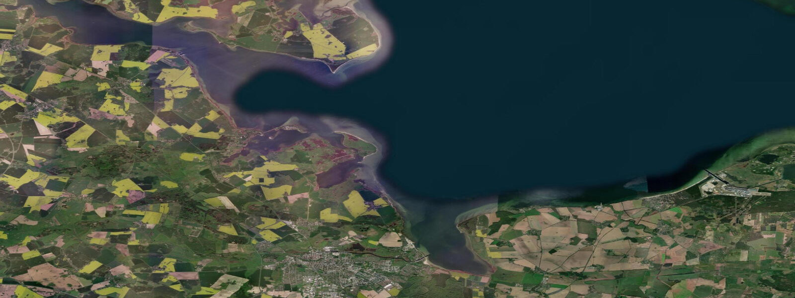
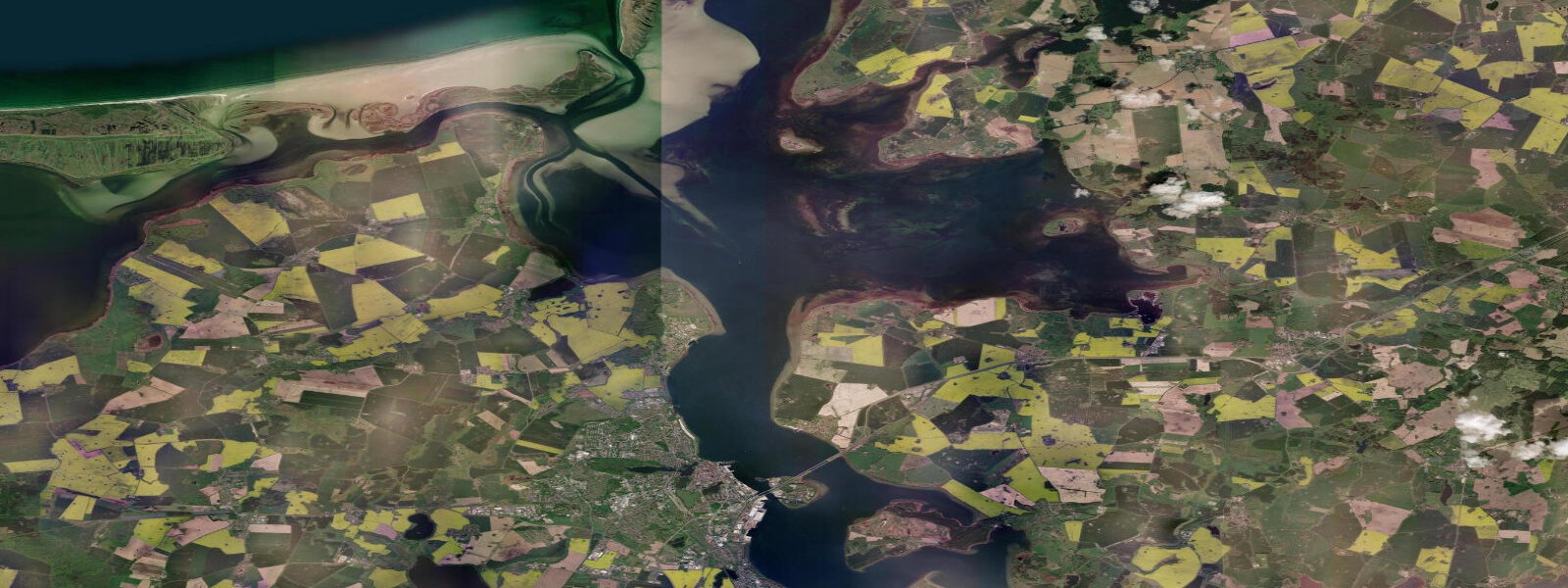
Greifswald sits at the mouth of the Ryck river, a small waterway that threads through the city centre before opening into the Greifswalder Bodden — a wide, shallow lagoon enclosed by Rügen to the west and Usedom to the east. The city is a university town: Ernst-Moritz-Arndt-Universität gives it a younger population and a practical relationship with the water than you'd expect from a place this far from the open coast. The Bodden is everywhere, visible from the university quarter, accessible by bicycle inside twenty minutes from the old market square.
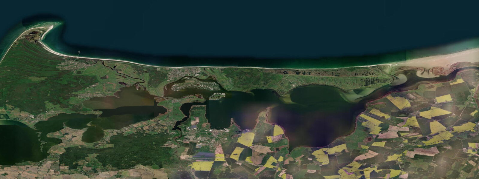
The Greifswalder Bodden is one of the defining features of the Eastern Pomeranian coast. Depths average 4–6 metres across most of the lagoon, dropping to less than 2 metres on the mudflat margins. The barrier islands and peninsulas — Rügen, Usedom, and the Mönchgut peninsula — filter wind and wave energy from the open Baltic, making the Bodden a calmer environment than the sea to the north. In summer the sheltered water temperature can reach 24–25°C, warmer than the open Baltic by several degrees.
The astronomical tide at Greifswald is negligible. The gravitational signal across the Baltic is 5–20 cm depending on position and lunar phase. In practice, water level here is controlled by wind and atmospheric pressure. Sustained easterlies push Baltic water westward and can drop water level at the Bodden entrance by 40–60 cm below mean; sustained westerlies and northwesterlies do the opposite, piling water into the lagoon. The Bodden's enclosed geometry amplifies this effect: a strong three-day westerly sequence in November can raise water level 50 cm above mean and briefly flood low-lying areas around the Museumshafen.
The Museumshafen — the museum harbour — is the anchor of Greifswald's waterfront. A collection of historic wooden vessels, including gaff-rigged sailing cutters, old Baltic traders, and a 1920s steam tug, lies moored along the timber quay. The harbour is working, not static: the vessels are maintained and sailed. The annual Hafentage festival in summer gathers additional historic ships and draws visitors from across the region.
The Wieck drawbridge connects the suburb of Wieck to the city across the Ryck. The bridge is a traditional wooden bascule structure, operational and raised periodically to let mast vessels pass through. Watching the traffic — cyclists and pedestrians holding, a sailboat transiting the river — is a useful reminder that this is a working coastal waterway. Wieck has its own small fishing quay and a cluster of smoked-fish outlets.
For kayakers, the Bodden offers a large flat-water territory with genuine interest: reed-fringed shorelines, bird-rich mudflats on the lagoon margins, and multi-day routes connecting to Rügen and Usedom via sheltered passages. Kayaking is wind-dependent rather than tide-dependent — check the forecast for wind direction and strength rather than tide tables. A 15-knot westerly makes the exposed western Bodden lumpy; the same wind shelters the eastern passages.
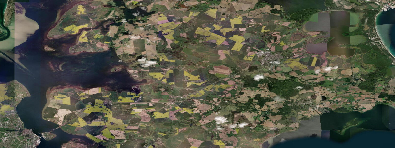
The Bodden mudflats are important staging habitat for migratory birds in spring and autumn. Waders — dunlin, bar-tailed godwit, knot, and ringed plover — use the exposed margins as feeding grounds between September and November. The Greifswalder Oie island in the Bodden is a nationally significant migration monitoring station; access is limited but the island is visible from the Bodden shoreline.
Sailers on the Bodden treat the wind-driven water level as their primary variable. A falling water level (easterly wind) reduces depth over the shallower passages between the lagoon and the open Baltic; a rising level opens routes that are otherwise tight for keel boats. There is no tide-table planning here — the relevant tool is the wind forecast, checked against the local gauge reading at the harbour.
Tide data for Greifswald, Baltic Coast comes from the Open-Meteo Marine API, a gridded model product. Timing accuracy is ±45 minutes, height accuracy ±0.3 m — usable for trip planning, not for navigation.
Tide questions about Greifswald, Baltic Coast
Quick answers to the most common questions about tide times, range, and water access at Greifswald, Baltic Coast.
Does Greifswald have a real tide to plan around?
No. The astronomical tidal range at Greifswald on the Greifswalder Bodden is 5–15 cm — too small to matter for any practical activity. Water level is driven by wind and atmospheric pressure. Easterlies lower the Bodden by 40–60 cm; westerlies raise it by a similar amount over a sustained weather sequence. For kayaking, sailing, or accessing the Museumshafen, check the wind forecast and the current gauge reading rather than tide tables. The Bodden gauge data is published by the German Federal Maritime and Hydrographic Agency (BSH).
What is the Greifswalder Bodden and how does it affect water conditions?
The Greifswalder Bodden is a shallow, semi-enclosed lagoon between Greifswald and the Baltic barrier islands of Rügen and Usedom. Average depth is 4–6 metres; the margins shelve to under 2 metres over mudflat areas. The enclosed geometry means wind effects are amplified — a sustained westerly can raise water level significantly above mean, temporarily flooding low-lying harbour margins. In summer, the sheltered water warms to 24–25°C, several degrees above open Baltic temperatures.
Is the Greifswalder Bodden suitable for kayaking?
The Bodden is well-suited to sea kayaking: large, relatively sheltered flat water with interesting reed-fringed margins and bird-rich mudflat sections. Multi-day routes connect Greifswald to Rügen and Usedom via sheltered passages. Planning is wind-dependent, not tide-dependent — a 15-knot westerly makes the exposed western Bodden uncomfortable while leaving the eastern passages sheltered. The Ryck river through Greifswald itself offers a calm put-in point accessible from the Museumshafen.
What is the Wieck drawbridge and when does it open?
The Wieck drawbridge is a historic wooden bascule bridge crossing the Ryck river in the Wieck suburb south of central Greifswald. It operates as a functioning road and cycle bridge and is raised on request to allow sailing vessels and motorboats with masts to transit the river between the Bodden and the city-side moorings. Raising times are not fixed — vessel operators contact the bridge keeper. For cyclists and pedestrians crossing Wieck, check for a vessel queuing on the Bodden side, which signals an imminent opening.
When is bird-watching best on the Greifswalder Bodden?
Autumn migration — September through November — is the productive period on the Bodden mudflats. Dunlin, bar-tailed godwit, knot, and ringed plover use the exposed margins as feeding stops. Common cranes also use the Bodden shores as part of the broader Western Pomeranian staging area during the same period. Spring passage (April–May) is lighter but includes good wader diversity. The Greifswalder Oie island, visible from the Bodden shore, is a nationally significant migration monitoring station operated continuously since 1929.
6-day tide table — Greifswald, Baltic Coast
Heights relative to MSL. Predictions: Open-Meteo Marine (MeteoFrance SMOC, 0.08° grid) — heights relative to MSL (not chart datum / LAT). Model-derived.
| Day | Type | Time | Height |
|---|---|---|---|
| Fri 19 Jun | High | 03:00 | -0.0m |
| Sat 20 Jun | — | ||
| Sun 21 Jun | Low | 16:10 | -0.2m |
| Mon 22 Jun | — | ||
| Tue 23 Jun | High | 16:00 | -0.1m |
| Low | 22:00 | -0.1m | |
| Wed 24 Jun | High | 01:00 | -0.1m |
| Low | 09:45 | -0.3m | |
| High | 12:06 | -0.2m | |